2010s Maps of Bland County, Virginia
Explore 60 historic maps of Bland County from the 2010s. These maps offer a rare glimpse into what life looked like during the 2010s — showing old roads, neighborhoods, homes, and landmarks that have changed or disappeared over time.
Whether you're researching your family's past, planning a metal detecting trip, or studying how Bland County's landscape evolved across the 2010s, these high-resolution maps are a powerful tool for exploring the history of this region.
- Focus on a specific era: All maps on this page are from the 2010s, giving you a focused view of this time period.
- See what’s changed: Compare century-old streets, trails, and buildings to today's modern landscape using overlays and satellite layers.
- Research with precision: Use these maps for genealogy, historical research, land use analysis, or educational projects.
- View, download, or print: Maps are fully viewable online in high resolution, and can be downloaded or printed for your own records.
Start exploring Bland County's history through authentic maps from the 2010s. This is your window into the past.
Bland County, VA maps
(60)- 2011 Map of Princeton, 2011 Print
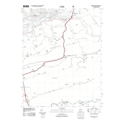 2011 Princeton2011 Print · USGSThe city of Princeton and the surrounding Mercer County ridges are captured here during the first decade of the 2000s. Genealogists and local historians can trace family ties through dozens of small cemeteries and rural settlements like Stumpy Bottom, Ingleside, and Lilly Grove.
 - 2011 Map of Bastian, 2011 Print
 2011 Bastian2011 Print · USGSBland and Mercer counties appear here in the early twenty-first century, centered on the community of Bastian at the base of Round Mountain. Genealogists and local historians can trace family locations near Rose Hill Cemetery and the hamlets of Hicksville and Byron.
 - 2011 Map of Bluefield, 2011 Print
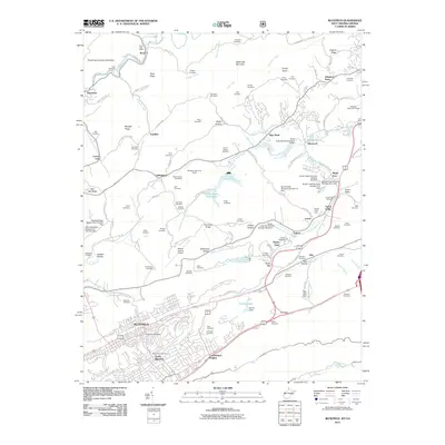 2011 Bluefield2011 Print · USGSBluefield and its northern hinterlands are shown here in the early twenty-first century, featuring a landscape of managed waterways and ridge-top settlements. Genealogists can trace family landmarks like Smith Chapel Cemetery, Johnston Town, and McQuire Cemetery.
 - 2011 Map of Oakvale, 2011 Print
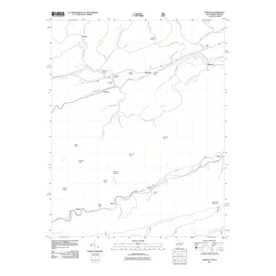 2011 Oakvale2011 Print · USGSMercer County's river valleys and mountain gaps are documented here in the early twenty-first century. Researchers can trace local heritage through the Kellysville Post Office, Oakvale Cemetery, and the small community at Possum Hollow.
 - 2011 Map of Big Bend, 2011 Print
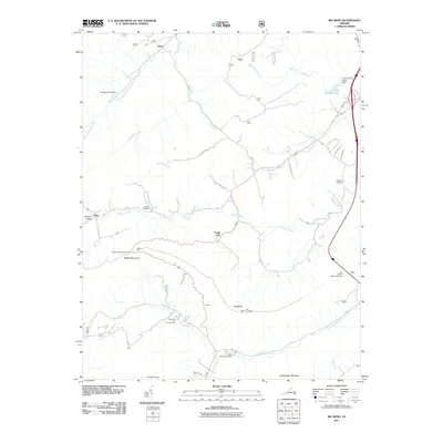 2011 Big Bend2011 Print · USGSBland County's high ridges and creek-fed valleys are shown here in the early twenty-first century, before recent changes to the rural landscape. You can trace the path of Walker Creek past the Bethel Cemetery and locate the mountain transit of the Big Walker Mountain Tunnel.
 - 2011 Map of Mechanicsburg, 2011 Print
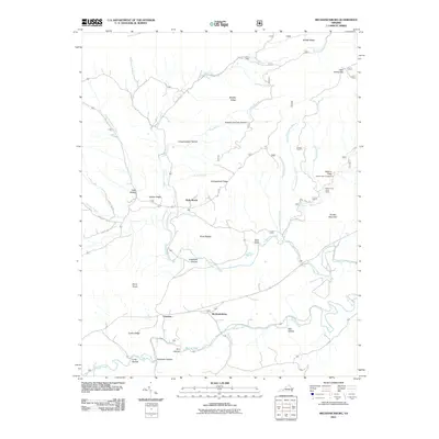 2011 Mechanicsburg2011 Print · USGSBland County's mountain valleys are documented here in the early twenty-first century as they maintain their rural character. Genealogists and hikers can trace landmarks from Mechanicsburg to Holly Brook, or locate the Falls of Dismal and Jenny Knob.
 - 2011 Map of Rocky Gap, 2011 Print
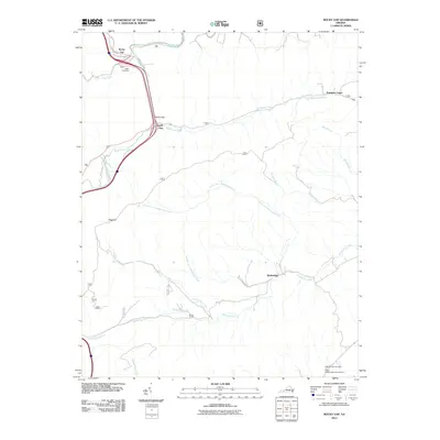 2011 Rocky Gap2011 Print · USGSBland County, Virginia, is shown in the early twenty-first century as a landscape of deep valleys and mountain gaps. Genealogists and local historians can trace family locations near Rocky Gap, Pumpkin Center, and the Hoges Chapel Methodist Cemetery.
 - 2011 Map of Garden Mountain, 2011 Print
 2011 Garden Mountain2011 Print · USGSThe high mountain valley of Burkes Garden and the surrounding Tazewell County ridges are documented here in the early twenty-first century. Genealogists and local historians can trace legacy sites like Gose Mill, Spracher Place, and Sharon Cemetery.
 - 2011 Map of Bland, 2011 Print
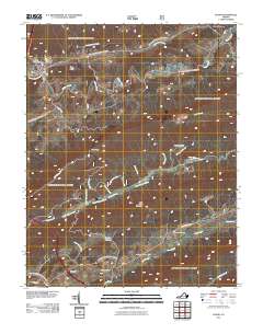 2011 Bland2011 Print · USGSBland County's rural heartland is preserved here in the early twenty-first century, showing the enduring patterns of mountain valley settlement. Genealogists can locate family burial sites like The Brick Church Cemetery and Saint Lukes Cemetery near Crockett Cove.
 - 2011 Map of Hutchinson Rock, 2011 Print
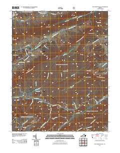 2011 Hutchinson Rock2011 Print · USGSTazewell County's high ridges and deep hollows are documented here during the early twenty-first century. Genealogists and hikers can trace remote family sites like Thompson Cemetery or navigate the terrain surrounding Hutchinson Rock and Joe Neets.
 - 2011 Map of White Gate, 2011 Print
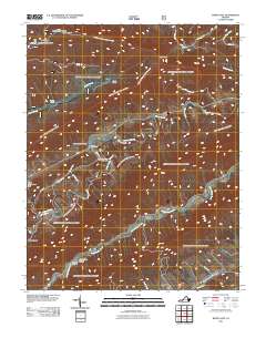 2011 White Gate2011 Print · USGSBland County's steep ridges and winding creek valleys are captured here at the start of the 2010s. Researchers can trace rural lineages at Walkers Creek Cemetery or explore landmarks like Alum Springs, White Gate, and the Dismal Peak Fire Tower.
 - 2011 Map of Long Spur, 2011 Print
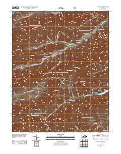 2011 Long Spur2011 Print · USGSPulaski County's high ridges and deep hollows are captured here in the early twenty-first century. Researchers can locate remote burial sites like Goshen Cemetery or trace old pathways through Hickory Hollow and the Forks of Road settlement.
 - 2011 Map of Cove Creek, 2011 Print
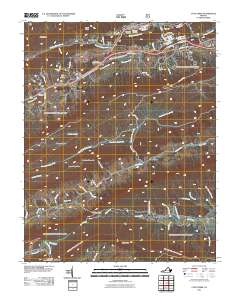 2011 Cove Creek2011 Print · USGSThe high valleys and ridge corridors of Tazewell County are shown here in the early twenty-first century. Genealogists and local historians can trace family landmarks and industrial sites like Shawver Mill, Grandview Memory Gardens, and the Gose Mill Dam.
 - 2011 Map of Rural Retreat, 2011 Print
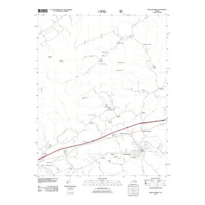 2011 Rural Retreat2011 Print · USGSThe Rural Retreat area of Wythe County appears here in the early twenty-first century, showing the intersection of ridge-top lookouts and valley settlements. Researchers can locate family landmarks like Ann Grubb Hollow or trace local history at Staley Crossroads and Davis Cemetery.
 - 2011 Map of Nebo, 2011 Print
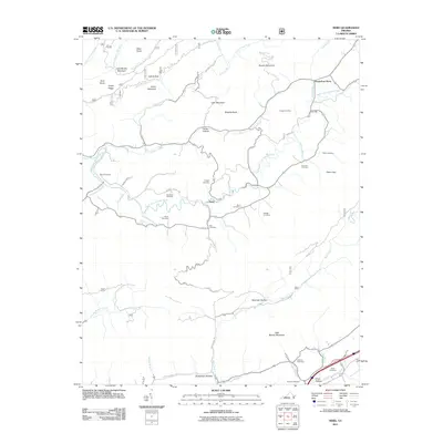 2011 Nebo2011 Print · USGSSmyth County, Virginia, is shown in this contemporary topographical study as a landscape of historic family farms and mountain ridges. Genealogists can trace localized history through numerous family sites like Tilson Cemetery, Groseclose Store, and Tilson Mill.
 - 2013 Map of Cove Creek, 2013 Print
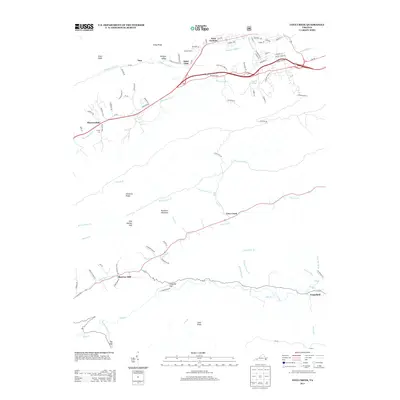 2013 Cove Creek2013 Print · USGSTazewell County's ridgeline settlements and valley crossroads are captured here in the early twenty-first century. Genealogists and local historians can trace family land between Shawver Mill, Grapefield, and the waters of the Bluestone River.
 - 2013 Map of Bland, 2013 Print
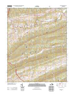 2013 Bland2013 Print · USGSBland and the surrounding Appalachian ridges are captured here during a period of modern connectivity and rural preservation. Genealogists and local historians can trace family-named landmarks and watercourses such as Crockett Cove, Helveys Mill Cr, and Point Pleasant.
 - 2013 Map of Garden Mountain, 2013 Print
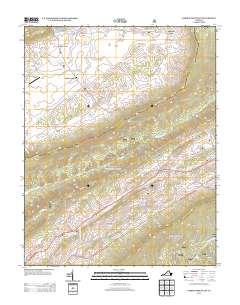 2013 Garden Mountain2013 Print · USGSTazewell County's unique high-valley topography is captured here in the early twenty-first century. Researchers can trace the rural communities of Burkes Garden and Ceres, or locate family-named landmarks like Spracher Place and Foglesong Valley.
 - 2013 Map of Rocky Gap, 2013 Print
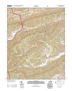 2013 Rocky Gap2013 Print · USGSBland County mountain gaps and valley settlements are captured in this early twenty-first-century survey. Genealogists and hikers can trace the creek-side hamlets of Kimberling, Pumpkin Center, and the rugged terrain surrounding Hogback.
 - 2013 Map of Hutchinson Rock, 2013 Print
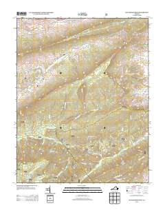 2013 Hutchinson Rock2013 Print · USGSThe high ridges of Tazewell County come into sharp focus in this modern era survey of the Appalachian Highlands. Researchers can trace the remote settlements of Joe Neets and Poor Valley while locating landmarks like Hutchinson Rock and the Knot Mole Shelter.
 - 2013 Map of Long Spur, 2013 Print
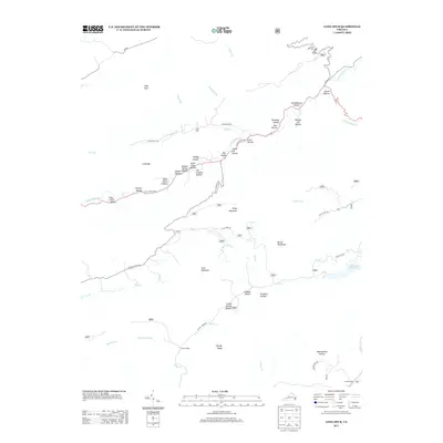 2013 Long Spur2013 Print · USGSPulaski County's complex mountain ridges and deep hollows are captured here during the early twenty-first century. Genealogists and local historians can trace family-named landmarks and old routes through Joe Graham Hollow, Schoolhouse Hollow, and the Forks of Road.
 - 2013 Map of Mechanicsburg, 2013 Print
 2013 Mechanicsburg2013 Print · USGSMechanicsburg and the surrounding Bland County ridges are captured here during the early twenty-first century. Researchers can trace deep-rooted local landmarks such as Lickskillet Hollow, the Falls of Dismal, and the settlement at Holly Brook.
 - 2013 Map of Rural Retreat, 2013 Print
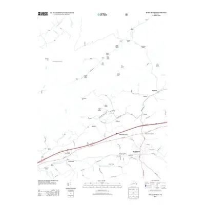 2013 Rural Retreat2013 Print · USGSRural Retreat and its surrounding Wythe County hamlets are captured here in the early twenty-first century. Researchers can trace family-named landmarks from Ann Grubb Hollow to Tickle Pink Hollow, alongside established communities like Groseclose and Murpheyville.
 - 2013 Map of Nebo, 2013 Print
 2013 Nebo2013 Print · USGSSmyth County's mountain valleys are documented here during the early twenty-first century, showing the rural character of the Appalachian highlands. Genealogists and local historians can locate family landmarks like Tilson Mill, the Groseclose Store, and Bridgeman Hollow.
 - 2013 Map of Big Bend, 2013 Print
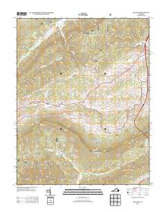 2013 Big Bend2013 Print · USGSBland County's high ridges and creek valleys are captured in the early twenty-first century, showing the intersection of interstate transit and mountain life. Researchers can trace the layout of Bland and Suiter, or locate landmarks like the Walker Mountain Lookout and the Big Walker Mountain Tunnel.
Showing maps 1-25 of 60
Top cities of Bland County
Frequently asked questions
- What are the different types of historical maps available for Bland County?
- What is the oldest map of Bland County?
- Where can I purchase historical maps of Bland County for my home or office?
- Where can I download high-res historical maps of Bland County?
- Are there historical topographic maps available for Bland County?
- Is there historical aerial imagery available for Bland County?
- Where are historical maps of Bland County sourced from?