Old Maps of Fauquier County, Virginia for Academic Research
Study the evolution of Fauquier County with 99 high-resolution historic maps. Whether you're teaching, researching, or modeling changes in land use, these maps provide essential visual documentation of urban, environmental, and geographic change.
- Analyze long-term change: Track patterns in development, transportation, and natural features.
- Ideal for environmental or urban studies: Support academic projects with primary historical map data.
- Use in the classroom or lab: Educators and researchers rely on these maps to bring historical context to life.
These maps are a powerful tool for teaching, research, and visualizing how Fauquier County has changed over the decades.
Fauquier County, VA maps
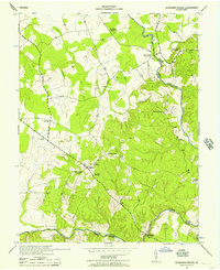
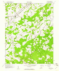
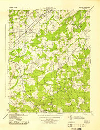
(99)- 1884 Map of Harpers Ferry
 1884 Harpers Ferry1884 Print · USGSCovers Fauquier County, including Leesburg, Martinsburg, and other nearby areas
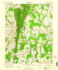
 - 1887 Map of Spottsylvania
 1887 Spottsylvania1887 Print · USGSCovers Fauquier County, including Culpeper, Lake of the Woods, and other nearby areas
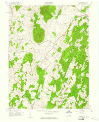
 - 1891 Map of Harpers Ferry
 1891 Harpers Ferry1891 Print · USGSCovers Fauquier County, including Leesburg, Martinsburg, and other nearby areas
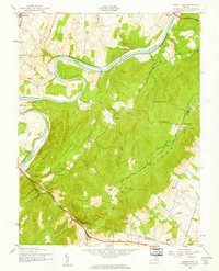
 - 1892 Map of Spottsylvania
 1892 Spottsylvania1892 Print · USGSCovers Fauquier County, including Culpeper, Lake of the Woods, and other nearby areas6 unique versions available
 - 1893 Map of Luray, 1898 Print
 1893 Luray1898 Print · USGSCovers Fauquier County, including Front Royal, Strasburg, and other nearby areas
 - 1893 Map of Harpers Ferry, 1898 Print
 1893 Harpers Ferry1898 Print · USGSCovers Fauquier County, including Leesburg, Martinsburg, and other nearby areas7 unique versions available
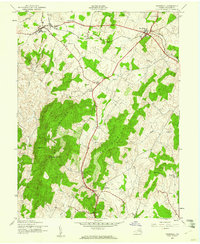
 - 1894 Map of Warrenton
 1894 Warrenton1894 Print · USGSCovers Fauquier County, including Linton Hall, South Riding, and other nearby areas9 unique versions available
 - 1894 Map of Warrenton, 1897 Print
 1894 Warrenton1897 Print · USGSCovers Fauquier County, including Warrenton, Bealeton, and other nearby areas
 - 1905 Map of Luray, 1910 Print
 1905 Luray1910 Print · USGSCovers Fauquier County, including Front Royal, Strasburg, and other nearby areas4 unique versions available
 - 1916 Map of Berryville, 1920 Print
 1916 Berryville1920 Print · USGSCovers Fauquier County, including Berryville, Shannondale, and other nearby areas2 unique versions available
 - 1927 Map of Remington
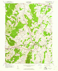
 1927 Remington1927 Print · USGSCovers Fauquier County, including Warrenton, Bealeton, and other nearby areas4 unique versions available
 - 1930 Map of Warrenton
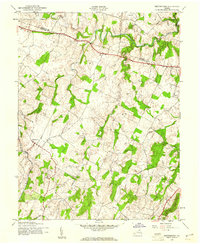
 1930 Warrenton1930 Print · USGSCovers Fauquier County, including Warrenton, Bealeton, and other nearby areas2 unique versions available
 - 1933 Map of Middleburg
 1933 Middleburg1933 Print · USGSCovers Fauquier County, including Linton Hall, South Riding, and other nearby areas
 - 1939 Map of Front Royal
 1939 Front Royal1939 Print · USGSCovers Fauquier County, including Front Royal, Shenandoah Farms, and other nearby areas2 unique versions available
 - 1939 Map of Berryville
 1939 Berryville1939 Print · USGSCovers Fauquier County, including Berryville, Shannondale, and other nearby areas
 - 1943 Map of Catlett, 1955 Print
 1943 Catlett1955 Print · USGSCovers Fauquier County, including Bealeton, Nokesville, and other nearby areas2 unique versions available
 - 1943 Map of Germanna Bridge, 1957 Print
 1943 Germanna Bridge1957 Print · USGSCovers Fauquier County, including Carrico, Lignum, and other nearby areas2 unique versions available
 - 1943 Map of Thorofare Gap, 1960 Print
 1943 Thorofare Gap1960 Print · USGSCovers Fauquier County, including Gainesville, Haymarket, and other nearby areas
 - 1943 Map of Orlean, 1961 Print
 1943 Orlean1961 Print · USGSCovers Fauquier County, including Marshall, Orlean, and other nearby areas
 - 1943 Map of Ashby Gap, 1961 Print
 1943 Ashby Gap1961 Print · USGSCovers Fauquier County, including Berrys, Chilly Hollow Estates, and other nearby areas
 - 1943 Map of Midland, 1961 Print
 1943 Midland1961 Print · USGSCovers Fauquier County, including Bealeton, Midland, and other nearby areas
 - 1943 Map of Marshall, 1961 Print
 1943 Marshall1961 Print · USGSCovers Fauquier County, including Marshall, The Plains, and other nearby areas
 - 1943 Map of Upperville, 1961 Print
 1943 Upperville1961 Print · USGSCovers Fauquier County, including Upperville, Delaplane, and other nearby areas
 - 1943 Map of Rectortown, 1961 Print
 1943 Rectortown1961 Print · USGSCovers Fauquier County, including Marshall, Middleburg, and other nearby areas
 - 1944 Map of Midland
 1944 Midland1944 Print · USGSCovers Fauquier County, including Bealeton, Midland, and other nearby areas
Showing maps 1-25 of 99
Top cities of Fauquier County
- Warrenton historical maps
- Bealeton historical maps
- Marshall historical maps
- Remington historical maps
- Opal historical maps
- Catlett historical maps
See more
Frequently asked questions
- What are the different types of historical maps available for Fauquier County?
- What is the oldest map of Fauquier County?
- Where can I purchase historical maps of Fauquier County for my home or office?
- Where can I download high-res historical maps of Fauquier County?
- Are there historical topographic maps available for Fauquier County?
- Is there historical aerial imagery available for Fauquier County?
- Where are historical maps of Fauquier County sourced from?