2010s Maps of Shenandoah County, Virginia
Explore 76 historic maps of Shenandoah County from the 2010s. These maps offer a rare glimpse into what life looked like during the 2010s — showing old roads, neighborhoods, homes, and landmarks that have changed or disappeared over time.
Whether you're researching your family's past, planning a metal detecting trip, or studying how Shenandoah County's landscape evolved across the 2010s, these high-resolution maps are a powerful tool for exploring the history of this region.
- Focus on a specific era: All maps on this page are from the 2010s, giving you a focused view of this time period.
- See what’s changed: Compare century-old streets, trails, and buildings to today's modern landscape using overlays and satellite layers.
- Research with precision: Use these maps for genealogy, historical research, land use analysis, or educational projects.
- View, download, or print: Maps are fully viewable online in high resolution, and can be downloaded or printed for your own records.
Start exploring Shenandoah County's history through authentic maps from the 2010s. This is your window into the past.
Shenandoah County, VA maps
(76)- 2010 Map of Middletown, 2010 Print
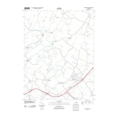 2010 Middletown2010 Print · USGSThe Shenandoah Valley south of Winchester is captured here in the early twenty-first century, showing the enduring agricultural and historical landscape. Genealogists and historians can trace the Cedar Creek Battlefield and numerous family burial sites like Walnut Springs Cemetery and the Quaker Cemetery.
 - 2011 Map of Mountain Falls, 2011 Print
 2011 Mountain Falls2011 Print · USGSThe Virginia and West Virginia borderlands in the early twenty-first century reveal a rural landscape of winding creeks and ridge-top views. Trace local family history through Star Tannery, the Saint James Cemetery, and the Mulberry Run Airport.
 - 2011 Map of Wardensville, 2011 Print
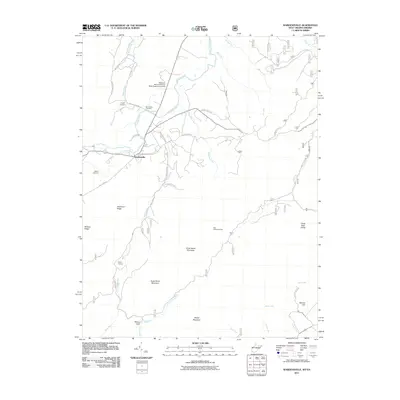 2011 Wardensville2011 Print · USGSWest Virginia's Cacapon River valley near the turn of the twenty-first century reveals a landscape shaped by early industry and mountain geography. Genealogists can locate family landmarks like Clagett Cemetery, the historic Capon Furnace, and the Reymann Memorial Farms West Virginia University.
 - 2011 Map of Lost City, 2011 Print
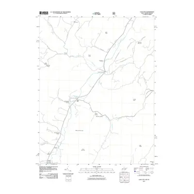 2011 Lost City2011 Print · USGSHardy County at the start of the 2010s remains a landscape of river valleys and ridgelines. Genealogists and local historians can trace the foundations of Lost City and Mathias, locating landmarks like the Holly Hill Church and Greenwood Cemetery.
 - 2011 Map of Orkney Springs, 2011 Print
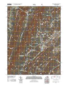 2011 Orkney Springs2011 Print · USGSThe resort and mountain communities of Shenandoah County thrive in the early twenty-first century amidst the ridges of the Great North Mountain area. Researchers can trace family history at the Shrine Mont Church Camp or locate rural burial grounds like Morning Star Cemetery and Stoney Creek Cemetery.
 - 2011 Map of Woodstock, 2011 Print
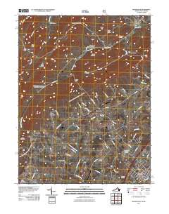 2011 Woodstock2011 Print · USGSShenandoah County life is documented here in the early twenty-first century, spanning the valley from Woodstock to the western ridges. Genealogists can trace family sites at Mount Zion Cemetery, Alonzaville, and the historic Van Buren Furnace industrial area.
 - 2011 Map of Wolf Gap, 2011 Print
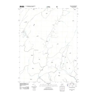 2011 Wolf Gap2011 Print · USGSThe West Virginia-Virginia borderlands are captured here in the early twenty-first century, showing a landscape shaped by both early industry and modern recreation. Researchers can trace historic industrial sites like Liberty Furnace or explore family-named landmarks such as Tibbet Knob and Sine Mountain.
 - 2011 Map of Luray, 2011 Print
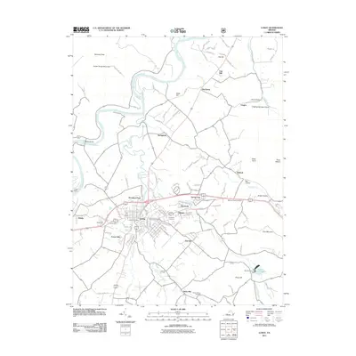 2011 Luray2011 Print · USGSThe Shenandoah Valley town of Luray and its surrounding mountain hollows are captured here in the early twenty-first century. Genealogists and historians can trace family locations through numerous sites like Beahms Chapel Cemetery, Woodland Park, and Stony Man.
 - 2011 Map of Edinburg, 2011 Print
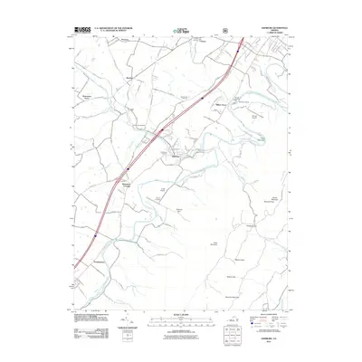 2011 Edinburg2011 Print · USGSShenandoah County comes into focus in this early twenty-first century study of the valley and its mountain boundaries. Genealogists can trace family footprints at Union Forge Cemetery and Lantz Mills or follow the river to Edinburg Dam.
 - 2011 Map of Toms Brook, 2011 Print
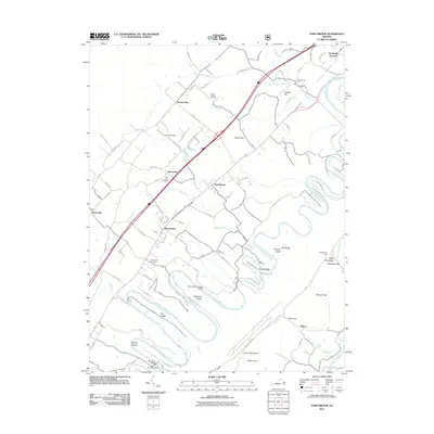 2011 Toms Brook2011 Print · USGSThe Shenandoah Valley and its winding river corridor are documented here just after the turn of the twenty-first century. Genealogists and local historians can trace family plots at Valley Pike Cemetery or explore river landmarks like Burnshire Dam and Strasburg Junction.
 - 2011 Map of Timberville, 2011 Print
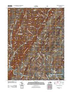 2011 Timberville2011 Print · USGSRockingham County is captured here in the early 2000s, where the river valley meets the northern ridges. Researchers can trace land tracts near Timberville and locate several community landmarks including Saint Lukes Cemetery and Showalters Orchard and Greenhouse.
 - 2011 Map of Hamburg, 2011 Print
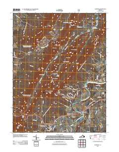 2011 Hamburg2011 Print · USGSThe Shenandoah Valley and Massanutten ridgelines appear here in the early twenty-first century, showing the enduring settlement patterns along the river. Genealogists and hikers can trace sites like Woods Chapel Cemetery, Caroline Furnace Camp, and the gaps of Massanutten Mountain.
 - 2011 Map of Stanley, 2011 Print
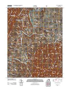 2011 Stanley2011 Print · USGSThe Shenandoah Valley remains a landscape of deep river bends and high ridges in the early twenty-first century. Genealogists and hikers can trace family names and rugged terrain features like Saint Luke Cemetery, Dog Slaughter Ridge, and the Newport Dam.
 - 2011 Map of Rileyville, 2011 Print
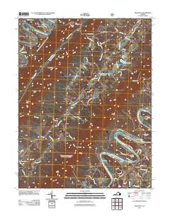 2011 Rileyville2011 Print · USGSNear the forks of the Shenandoah in the early twenty-first century, this area reveals a landscape tied to the river and the mountain gaps. Researchers can locate family landmarks like Munch Cemetery, old river access points at Fosters Landing, and the settlement of Rileyville.
 - 2011 Map of New Market, 2011 Print
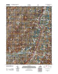 2011 New Market2011 Print · USGSThe Shenandoah Valley during the early twenty-first century is captured here as the river meanders past historic town centers and agricultural hubs. Local historians can trace family roots at Reformation Cemetery or explore landmarks like the Meems Bottom Covered Bridge and Bushong Farm.
 - 2011 Map of Tenth Legion, 2011 Print
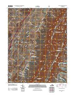 2011 Tenth Legion2011 Print · USGSThe Shenandoah Valley and Massanutten ridges are documented here during the early twenty-first century. Researchers can trace the layout of settlements like Tenth Legion and Mauzy or locate historical sites such as Catherine Furnace and Rinaca Cemetery.
 - 2011 Map of Bentonville, 2011 Print
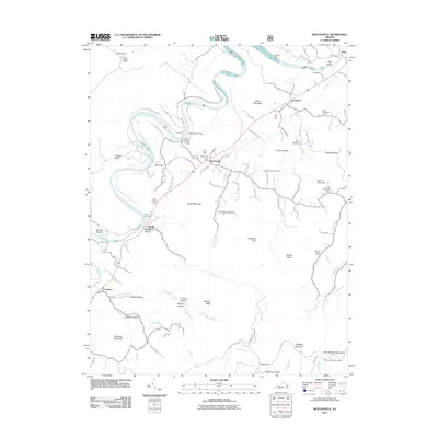 2011 Bentonville2011 Print · USGSBentonville and the Shenandoah River valley are captured here at the start of the 2010s, showcasing the area's rail-and-river geography. Genealogists and historians can trace family-named sites like Buck Mountain Farm or find old valley crossings at Burners Ford and Indian Hollow Bridge.
 - 2011 Map of Conicville, 2011 Print
 2011 Conicville2011 Print · USGSShenandoah County settlements and upland ridges are captured here in the early twenty-first century. Researchers can locate significant burial sites like Our Soldiers Cemetery and Mount Clifton Cemetery, or trace the historical industrial footprint at the Old Iron Furnace.
 - 2011 Map of Strasburg, 2011 Print
 2011 Strasburg2011 Print · USGSStrasburg and the Shenandoah Valley ridges are captured here in the early twenty-first century as they balance river-bottom settlements with steep mountain terrain. Local researchers can trace family sites from River View Cemetery to old industrial landmarks like Elizabeth Furnace and Wakeman Mill.
 - 2013 Map of New Market, 2013 Print
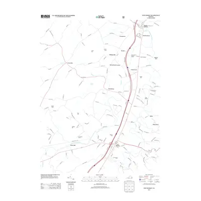 2013 New Market2013 Print · USGSShenandoah Valley life in the early twenty-first century centers on the river and the historic turnpike corridor between Mount Jackson and New Market. Researchers can trace the layout of Bushong Farm, locate the Meems Bottom Covered Bridge, and find family-run operations like Cedar Bluff Dairy.
 - 2013 Map of Tenth Legion, 2013 Print
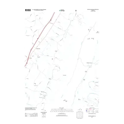 2013 Tenth Legion2013 Print · USGSThe Shenandoah Valley during the early twenty-first century reveals a landscape shaped by long-standing settlements and mountain industry. Genealogists and historians can trace routes to Catherine Furnace, locate Camp Fair Haven, and explore the rural road networks of Tenth Legion and Mauzy.
 - 2013 Map of Rileyville, 2013 Print
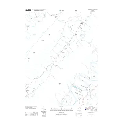 2013 Rileyville2013 Print · USGSThe North and South Forks of the Shenandoah River frame this Virginia mountain landscape in the early twenty-first century. Genealogists and local historians can trace family locations near Seven Fountains, the riverfront at Goods Mill, and the mountain passage at Habron Gap.
 - 2013 Map of Timberville, 2013 Print
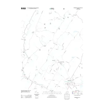 2013 Timberville2013 Print · USGSTimberville and the surrounding Shenandoah Valley ridges are captured here during the early twenty-first century. Researchers can trace the layout of small crossroads communities like Honeyville and Mechanicsville or locate landmarks such as Chimney Rock and the Showalters Orchard and Greenhouse.
 - 2013 Map of Middletown, 2013 Print
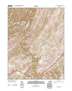 2013 Middletown2013 Print · USGSShenandoah Valley history is preserved here in the early twenty-first century, showing the enduring geography of the Civil War. Local historians can trace family locations near Stephens Fort, the Cedar Creek Battlefield, and settlements like Oranda and Marlboro.
 - 2013 Map of Hamburg, 2013 Print
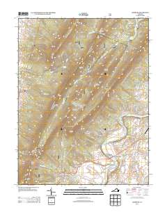 2013 Hamburg2013 Print · USGSPage County in the early twenty-first century reveals a landscape defined by the river and the massive ridge of Massanutten. Researchers can trace the layout of riverfront communities like White House and Leaksville or locate mountain landmarks such as Strickler Knob and Whitehouse Landing.
Showing maps 1-25 of 76
Top cities of Shenandoah County
- Strasburg historical maps
- Woodstock historical maps
- New Market historical maps
- Mount Jackson historical maps
- Basye historical maps
- Edinburg historical maps
See more
Frequently asked questions
- What are the different types of historical maps available for Shenandoah County?
- What is the oldest map of Shenandoah County?
- Where can I purchase historical maps of Shenandoah County for my home or office?
- Where can I download high-res historical maps of Shenandoah County?
- Are there historical topographic maps available for Shenandoah County?
- Is there historical aerial imagery available for Shenandoah County?
- Where are historical maps of Shenandoah County sourced from?