Old Maps of Marion, Virginia for Hiking & Exploration
Hike through history with 25 historic maps of Marion. Explore old trails, ghost towns, and forgotten backroads — perfect for outdoor adventurers and local explorers.
- Rediscover forgotten places: Map out old mining camps, roads, and footpaths that no longer exist on modern maps.
- Layer with modern tools: Combine with LiDAR or satellite views to plan hikes through historical terrain.
- Made for exploration: Popular among hikers, overlanders, and local history lovers.
Use these maps to find adventure and explore the hidden past of Marion.
Marion, VA maps
(25)- 1889 Map of Wytheville
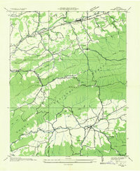
 1889 Wytheville1889 Print · USGSSouthwestern Virginia and northwestern North Carolina are mapped here during the late nineteenth-century rise of the mountain iron industry. Genealogists and historians can locate early post offices and industrial sites such as Bridle Creek P.O., Eagle Furnace, and Rural Retreat.2 unique versions available
 - 1891 Map of Abingdon
 1891 Abingdon1891 Print · USGSSouthwest Virginia in the 1890s reveals a landscape of mountain ridges and thriving valley settlements along the Norfolk and Western R. R. Lineages can be traced through sites like Emory and Henry College, Saltville, and numerous family-named landmarks like Vance's Mill.
 - 1892 Map of Wytheville, 1897 Print
 1892 Wytheville1897 Print · USGSThe high ridges and river valleys of Southwest Virginia and Northwest North Carolina are captured here in the late nineteenth century. Genealogists can trace family footprints across the Iron Mountains to old industrial sites like White Rock Furnace and remote post offices such as Hampton P.O.6 unique versions available
 - 1894 Map of Abingdon, 1896 Print
 1894 Abingdon1896 Print · USGSSouthwest Virginia's valley and ridge country is captured here during the peak of the rail era, centered on the Abingdon and Marion corridors. Local historians can trace the foundations of Emory and Henry College and numerous rural mill sites like Belfast Mills or Vance's Mill.5 unique versions available
 - 1909 Map of Abingdon
 1909 Abingdon1909 Print · USGSSouthwest Virginia at the first decade's end shows a valley landscape defined by the iron rail and steep ridges. Genealogists and historians can trace the early layouts of Abingdon and Glade Spring, or locate landmarks like Dove Mills and the County Farm.2 unique versions available
 - 1911 Map of Abingdon
 1911 Abingdon1911 Print · USGSSouthwest Virginia's rugged corridors are captured here during the height of the mountain rail era. Genealogists and historians can trace old homesteads and local landmarks such as Whites Mill, Valley Church, and the County Farm near Abingdon.5 unique versions available
 - 1931 Map of Rural Retreat
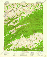
 1931 Rural Retreat1931 Print · USGSSouthwestern Virginia in the early 1930s is defined by its ridge-and-valley terrain and the rail-and-road corridor of the Norfolk and Western. Genealogists can trace local landmarks like Wasson Cem, Roberts Mill, and the Old Iron Mine near Sugar Grove.
 - 1935 Map of Atkins
 1935 Atkins1935 Print · USGSSmyth County was a landscape of mountain ridges and river valleys in the mid-1930s, caught between rail-line growth and deep wilderness. Trace family history at Wassum Cem, locate the Camp Jaccard CCC No 3581, or find the old Roberts Mill.
 - 1935 Map of Marion
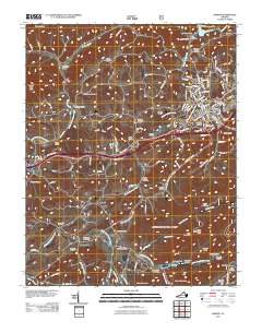
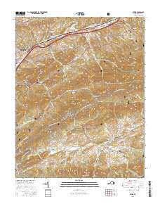
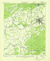 1935 Marion1935 Print · USGSMarion and its surrounding Smyth County valleys are captured during the mid-1930s, just as new conservation projects were shaping the landscape. Genealogists can trace family roots through numerous local landmarks like Holston Mill, the C C C Camp, and rural centers such as Adwolf and McMullin.
 - 1953 Map of Winston-Salem, 1974 Print
 1953 Winston-Salem1974 Print · USGSThe North Carolina Piedmont and Virginia highlands meet in the mid-1950s, a landscape defined by the tobacco and textile hubs of the Blue Ridge foothills. Researchers can trace the rail-and-river geography connecting Winston-Salem to mountain towns like Mount Airy and Galax.2 unique versions available
 - 1955 Map of Winston-Salem
 1955 Winston-Salem1955 Print · USGSThe Central Blue Ridge and Piedmont transition are captured here in the mid-fifties, from the industrial hub of Winston-Salem to the high peaks of Southwest Virginia. Genealogists can trace family landmarks like Richmond Hill Ch, Siloam Ch, and the old rail stops along the Southern Railway.
 - 1958 Map of Marion, 1960 Print
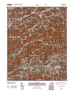
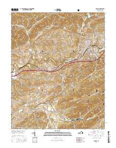
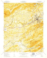 1958 Marion1960 Print · USGSSmyth County in the late fifties shows a landscape balanced between institutional growth in Marion and the high ridges of the Jefferson National Forest. Genealogists and historians can trace numerous rural landmarks like Wassum Valley Ch, the River Bend Cem, and the old Walker Creek School.6 unique versions available
 - 1958 Map of Atkins, 1960 Print
 1958 Atkins1960 Print · USGSSmyth County's mountain ridges and valley settlements are captured in the late fifties as rail and road travel transformed the region. Trace ancestral roots at Davis Memorial Ch or locate family sites like Roberts Mill and Attoway.6 unique versions available
 - 1962 Map of Winston-Salem
 1962 Winston-Salem1962 Print · USGSThe North Carolina Piedmont meets the Virginia highlands in the early sixties, showing the rail corridors and mountain gaps of the southern Appalachians. Researchers can trace the Blue Ridge Parkway or locate family sites near Winston-Salem, Mount Airy, and Hanging Rock Mountain.
 - 1982 Map of Wytheville, 1983 Print
 1982 Wytheville1983 Print · USGSSouthwest Virginia's ridge-and-valley landscape is shown here in the early 1980s as the Interstate era fully connected the region. Genealogists and historians can trace family locations near Emory and Henry College, the historic Austinville Mine, and settlements like Saltville or Lansing.3 unique versions available
 - 2011 Map of Marion, 2011 Print
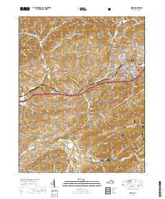
 2011 Marion2011 Print · USGSCovers Marion, including McMullin, Adwolf, and other nearby areas
 - 2011 Map of Atkins, 2011 Print
 2011 Atkins2011 Print · USGSCovers Marion, including Mount Carmel, Slabtown, and other nearby areas
 - 2013 Map of Marion, 2013 Print
 2013 Marion2013 Print · USGSCovers Marion, including McMullin, Adwolf, and other nearby areas
 - 2013 Map of Atkins, 2013 Print
 2013 Atkins2013 Print · USGSCovers Marion, including Mount Carmel, Slabtown, and other nearby areas
 - 2016 Map of Atkins, 2016 Print
 2016 Atkins2016 Print · USGSCovers Marion, including Mount Carmel, Slabtown, and other nearby areas
 - 2016 Map of Marion, 2016 Print
 2016 Marion2016 Print · USGSCovers Marion, including McMullin, Adwolf, and other nearby areas
 - 2019 Map of Atkins, 2019 Print
 2019 Atkins2019 Print · USGSCovers Marion, including Mount Carmel, Slabtown, and other nearby areas
 - 2019 Map of Marion, 2019 Print
 2019 Marion2019 Print · USGSCovers Marion, including McMullin, Adwolf, and other nearby areas
 - 2022 Map of Atkins, 2022 Print
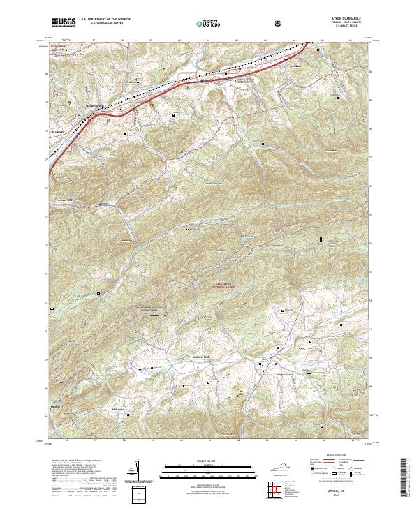 2022 Atkins2022 Print · USGSSmyth County, Virginia, is shown here as a landscape of highland ridges and river valleys in the early twenty-first century. Genealogists and hikers can trace the Appalachian National Scenic Trl as it passes historic sites like Roberts Mill and family burial grounds including Atkins Cem and Rose Lawn Cem.
 - 2022 Map of Marion, 2022 Print
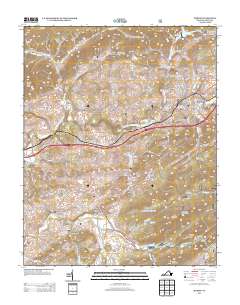
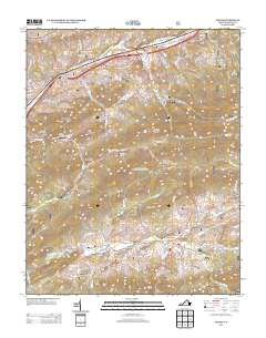
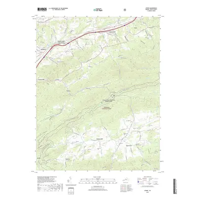
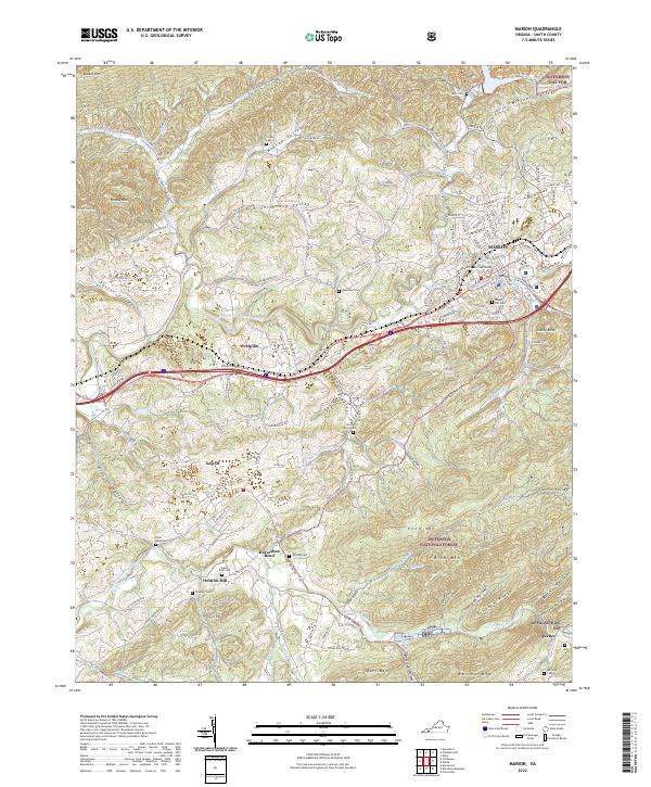 2022 Marion2022 Print · USGSSmyth County's valley settlements and mountain ridges are documented here in the early twenty-first century. Researchers can trace family history through numerous rural burial grounds like Ebenezer Cem or explore the mountain terrain near Quebec and Adwolf.
End of results
Showing maps 1-25 of 25
Top cities near Marion
Frequently asked questions
- What are the different types of historical maps available for Marion?
- What is the oldest map of Marion?
- Where can I purchase historical maps of Marion for my home or office?
- Where can I download high-res historical maps of Marion?
- Are there historical topographic maps available for Marion?
- Is there historical aerial imagery available for Marion?
- Where are historical maps of Marion sourced from?