Old Maps of Highgate, Virginia for Genealogy
Trace your family roots with 18 historic maps of Highgate. These high-res maps reveal old neighborhoods, homesites, landmarks, and streets — helping you uncover where your ancestors lived and how the area evolved over time.
- Explore historic neighborhoods: Identify where your relatives may have lived in the 1800s or 1900s.
- Compare maps over time: Trace the changes in streets, buildings, and landmarks for multi-generational research.
- Perfect for genealogy & ancestry research: Used by family historians and researchers to map out lineage and migration.
These maps are an incredible resource for exploring your personal connection to Highgate's past.
Highgate, VA maps
(18)- 1907 Map of Yorktown
 1907 Yorktown1907 Print · USGSThe Virginia Peninsula and the banks of the James River are shown here at the turn of the century, revealing a landscape defined by colonial roots and Civil War defenses. Genealogists can trace early twentieth-century life at Denbigh P O, Bacons Castle, and the National Cem.6 unique versions available
 - 1943 Map of Yorktown
 1943 Yorktown1943 Print · USGSThe Virginia Tidewater is captured here during the Second World War, showing the strategic riverfronts of the James and Warwick rivers. Researchers can locate colonial landmarks and defensive ruins like Old Fort Yorktown, Bacons Castle, and Warwick Courthouse.
 - 1943 Map of Richmond, 1972 Print
 1943 Richmond1972 Print · USGSCoastal Virginia and the state capital are shown in detail during the mid-century era of infrastructure expansion. Genealogists and historians can trace the grounds of Richmond Nat Battlefield Park, locate the Yorktown Nat Cem, or follow the many rural routes through Amelia Court House and Tappahannock.
 - 1949 Map of Richmond, 1951 Print
 1949 Richmond1951 Print · USGSCoastal Virginia in the years following World War II remained a landscape of historic river towns and expanding military bases. Genealogists and historians can trace the rail lines of the Southern Ry and locate established landmarks from Camp Lee to the remote reaches of Dragon Swamp.
 - 1950 Map of Cobham Bay, 1953 Print
 1950 Cobham Bay1953 Print · USGSThe James River waterfront is frozen in time at mid-century, showing the early boundaries of the Colonial National Historical Monument. Researchers can trace the rural landscape from Jamestown Island to the remote lighthouses at Homewood and Deepwater Shoals.
 - 1957 Map of Cobham Bay, 1960 Print
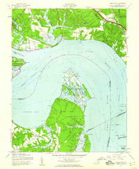 1957 Cobham Bay1960 Print · USGSThe James River coastline in the late fifties was a mix of historic preservation and active military defense. Trace the development of Hog Island State Waterfowl Refuge and locate old family sites like Travis Cem and Chippokes.
 - 1959 Map of Richmond
 1959 Richmond1959 Print · USGSMid-century Virginia is captured here at its most vital rail and river junctions, from the capital city to the Chesapeake Bay. Genealogists and historians can trace the development of colonial settlements like Williamsburg and military landmarks including Fort Monroe and Camp Lee.
 - 1964 Map of Richmond
 1964 Richmond1964 Print · USGSCoastal and central Virginia are mapped during the mid-twentieth century, showing the critical intersection of rail, river, and military life. Genealogists can trace family roots through rural county seats like Amelia or find vanished coastal neighborhoods near Phoebus and Hilton Village.
 - 1965 Map of Hog Island, 1966 Print
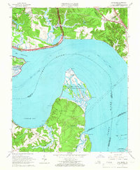 1965 Hog Island1966 Print · USGSThe James River waterfront in the mid-1960s serves as a crossroads of military installations and colonial landmarks. Researchers can trace the grounds of the Carters Grove Historical Home, the early church at Zion Ch, and the coastal defenses of Camp Wallace Military Reservation.4 unique versions available
 - 1973 Map of Richmond, 1974 Print
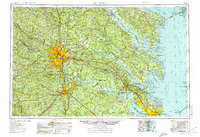 1973 Richmond1974 Print · USGSThe Virginia Tidewater and Piedmont come alive in the early seventies, showcasing a region defined by its great rivers and massive military installations. Researchers can trace the mid-century growth of Richmond or locate family sites near Amelia Court House and Highland Springs.2 unique versions available
 - 1984 Map of Hog Island
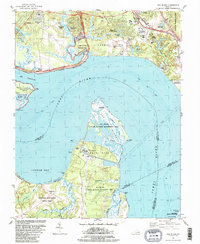 1984 Hog Island1984 Print · USGSThe James River shoreline near Williamsburg is a landscape where colonial history meets modern energy in the mid-eighties. Genealogists and historians can trace the grounds of the Kingsmill Plantation Site, Travis Cem, and Carters Grove Historical Home.2 unique versions available
 - 1984 Map of Williamsburg, 1985 Print
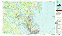 1984 Williamsburg1985 Print · USGSThe Virginia Peninsula and Chesapeake Bay shores are shown in the mid-1980s, revealing a landscape defined by colonial heritage and massive military installations. Researchers can trace the grounds of the College of William and Mary, the Yorktown National Cemetery, and the historic Jamestown Island.3 unique versions available
 - 1999 Map of Hog Island, 2001 Print
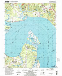 1999 Hog Island2001 Print · USGSThe James River shoreline near Williamsburg is captured here in the late nineties, documenting a landscape where colonial heritage meets modern industry. Researchers can trace historic sites like Jamestown Island and Travis Cem alongside the Surry Nuclear Powerplant.
 - 2010 Map of Hog Island, 2010 Print
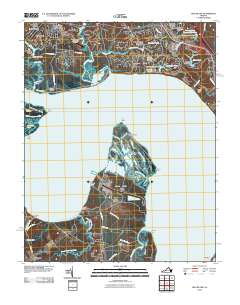 2010 Hog Island2010 Print · USGSThe James River corridor south of Williamsburg remains a landscape of historic peninsulas and marshy necks as seen in the early twenty-first century. Genealogists and historians can trace family sites near Highgate, locate the Travis Cemetery on Jamestown Island, and explore the wetlands of Hog Island.
 - 2013 Map of Hog Island, 2013 Print
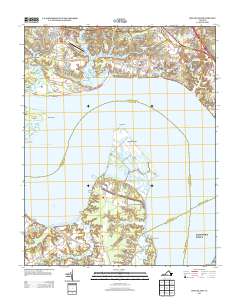 2013 Hog Island2013 Print · USGSSurry and James City Counties are shown here at the turn of the millennium, where tidal marshes meet growing residential developments. You can trace the shorelines of Hog Island, locate the rural reaches of Chippokes, and see the layout of the Williamsburg-Jamestown Airport.
 - 2016 Map of Hog Island, 2016 Print
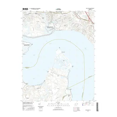 2016 Hog Island2016 Print · USGSThe lower James River region is captured here in the mid-2010s, showcasing the varied landscape between Williamsburg and Surry County. Researchers can trace land patterns from Colonial National Historical Park down to rural Highgate and the marshlands of Hog Island.
 - 2019 Map of Hog Island, 2019 Print
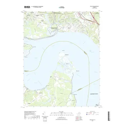 2019 Hog Island2019 Print · USGSThe James River corridor near Williamsburg is shown here in the late 2010s, bridging the historic Tidewater peninsula with the Surry County shoreline. Researchers can locate Travis Cem near the riverbank or trace the coastal footprints of Chippokes, Homewood, and the Hog Island marshes.
 - 2022 Map of Hog Island, 2022 Print
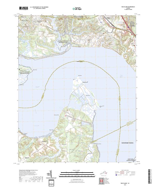 2022 Hog Island2022 Print · USGSThe James River and the marshes of Hog Island dominate this coastal landscape during the early 2020s. Genealogists and historians can trace family sites at Travis Cem, locate the Little Zion Baptist Church near Grove, or explore the boundaries of Chippokes.
End of results
Showing maps 1-18 of 18
Top cities near Highgate
- Williamsburg historical maps
- Smithfield historical maps
- Carrollton historical maps
- Benns Church historical maps
- Rushmere historical maps
- Claremont historical maps
See more
Frequently asked questions
- What are the different types of historical maps available for Highgate?
- What is the oldest map of Highgate?
- Where can I purchase historical maps of Highgate for my home or office?
- Where can I download high-res historical maps of Highgate?
- Are there historical topographic maps available for Highgate?
- Is there historical aerial imagery available for Highgate?
- Where are historical maps of Highgate sourced from?