Old Maps of Tazewell, Virginia for Academic Research
Study the evolution of Tazewell with 45 high-resolution historic maps. Whether you're teaching, researching, or modeling changes in land use, these maps provide essential visual documentation of urban, environmental, and geographic change.
- Analyze long-term change: Track patterns in development, transportation, and natural features.
- Ideal for environmental or urban studies: Support academic projects with primary historical map data.
- Use in the classroom or lab: Educators and researchers rely on these maps to bring historical context to life.
These maps are a powerful tool for teaching, research, and visualizing how Tazewell has changed over the decades.
Tazewell, VA maps
(45)- 1887 Map of Pocahontas
 1887 Pocahontas1887 Print · USGSThe Virginia and West Virginia borderlands are shown here in the 1880s as the coal industry and railroads began to reshape the Appalachian ridges. Genealogists can locate early settlements and landmarks like Seddon (Bland C. H.), the valley at Burks Garden, and the Concord Church congregation.
 - 1891 Map of Tazewell
 1891 Tazewell1891 Print · USGSThe Clinch Valley highlands are shown here in the late nineteenth century, capturing the early settlement of the Virginia and West Virginia borderlands. Local historians can trace the foundations of Jeffersonville and rural outposts like Baptist Valley and Cedar Bluff.
 - 1891 Map of Pocahontas
 1891 Pocahontas1891 Print · USGSThe Virginia and West Virginia borderlands are captured here during the late nineteenth-century expansion of the coal and rail industries. Genealogists and researchers can locate early settlements like Sedon (Bland CH), Spanishburg, and Pocahontas along the newly laid Norfolk and Western Railroad.
 - 1894 Map of Pocahontas
 1894 Pocahontas1894 Print · USGSThe Virginia and West Virginia borderlands are shown here during the late nineteenth-century coal boom. Researchers can trace early railroad expansion through settlements like Pocahontas or locate family roots in mountain basins such as Burke Garden and Sed Don.
 - 1895 Map of Tazewell
 1895 Tazewell1895 Print · USGSSouthwest Virginia and the West Virginia coalfields are captured in the 1890s as the rail network transformed these mountain valleys. Researchers can trace early settlements and stores along the Norfolk and Western RR, from Tazewell to the mines near Welch and Vivian.
 - 1895 Map of Pocahontas
 1895 Pocahontas1895 Print · USGSCoal mining towns and the Norfolk and Western RR line the border of Virginia and West Virginia in the late nineteenth century. Genealogists can trace the early layouts of Pocahontas, Bluefield, and the unusual enclosed valley of Burke Garden.6 unique versions available
 - 1897 Map of Tazewell
 1897 Tazewell1897 Print · USGSThe rugged coal and timber lands of the border country appear here in the 1890s as the rail network expands. Genealogists can trace family roots at Mc Neil Store, follow the early growth of Welch, and locate homesteads near Shack Mills.8 unique versions available
 - 1912 Map of Pounding Mill
 1912 Pounding Mill1912 Print · USGSThe McDowell and Tazewell borderlands appear here in the decade before the First World War, showing the early infrastructure of this mountainous region. Researchers can trace the path of Squire Jim Road and locate the settlement of Horsepen among the headwaters of Big Creek.
 - 1916 Map of Pounding Mill
 1916 Pounding Mill1916 Print · USGSThe Virginia and West Virginia state line was a rugged landscape of isolated mountain hollows and ridge-top knobs during the early twentieth century. Genealogists can trace family footprints near Greasy Creek School, the NORFOLK AND WESTERN RR, and the settlement of Sayersville.
 - 1926 Map of Pounding Mill
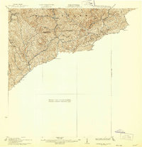 1926 Pounding Mill1926 Print · USGSAppalachian mountain life near the state line in the mid-twenties centers on remote hollows and high ridges. Researchers can trace the Norfolk and Western RR through Bandy or find family landmarks like the George Camp School and Sayersville.2 unique versions available
 - 1934 Map of Tazewell
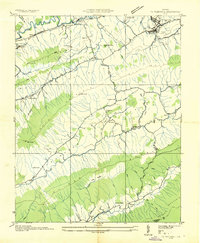 1934 Tazewell1934 Print · USGSThe Clinch River headwaters and Appalachian ridges of Tazewell County are captured here in the mid-1930s. Researchers can trace the Norfolk and Western railroad through Maxwell or locate country landmarks like Creagers Mill and the Tazewell County Fair Grounds.
 - 1935 Map of Tiptop
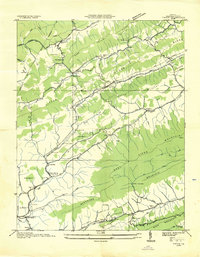 1935 Tiptop1935 Print · USGSIn the mid-thirties, the mountainous borderlands of Tazewell County were centered on the rail corridors of the Norfolk and Western Railway. Researchers can trace the exact locations of vanished community hubs like Wittens Mills, Sluss Sch, and the Burkes Garden Siding.
 - 1935 Map of Hutchinson Rock
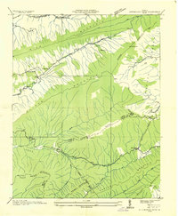 1935 Hutchinson Rock1935 Print · USGSTazewell and Bland counties met along the high ridges of the Clinch Mountains during the mid-1930s. Researchers can trace early rural life through landmarks like Hutchinson Rock, the Thompson Sch, and several localized sites like Burkes Garden No 2.
 - 1936 Map of Burkes Garden
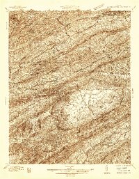 1936 Burkes Garden1936 Print · USGSTazewell and Bland Counties appear in the mid-1930s, defined by the extraordinary limestone bowl of Burkes Garden. Genealogists and historians can trace family locations near Maple Hill Cem, the Witten Mill settlement, and the industrial corridor at Bluefield.
 - 1941 Map of Pounding Mill
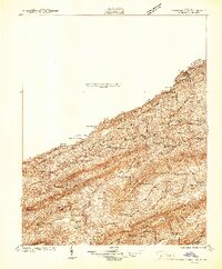 1941 Pounding Mill1941 Print · USGSThe Clinch River valley in the early 1940s shows a landscape organized by rail and ridge. Genealogists can trace family names at Maiden Spr, locate rural landmarks like Wittens Mill, or find old school sites like Linkous Sch.
 - 1941 Map of Burkes Garden
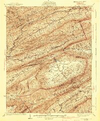 1941 Burkes Garden1941 Print · USGSTazewell County in the late nineteen-thirties reveals the distinctive enclosed valley of Burkes Garden and the rail corridors of the north. Genealogists and hikers can trace the paths to Gose Mills, rural congregations like Marys Chapel, and schools such as Redoak Sch.3 unique versions available
 - 1947 Map of Pounding Mill
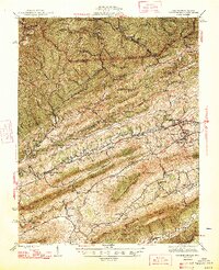 1947 Pounding Mill1947 Print · USGSTazewell County's coal and rail corridor is captured here in the mid-1940s, showing a landscape of tight mountain valleys and rural settlements. Genealogists can locate family landmarks like Witten Fort, Litz Chapel, and dozens of named schools from Bearwallow Sch to Mitchell Sch.2 unique versions available
 - 1955 Map of Bluefield
 1955 Bluefield1955 Print · USGSThe Central Appalachian borderlands come alive in the mid-fifties, showing the coal and rail networks connecting Bluefield to Beckley. Researchers can trace the industrial landscape of the New River Ordnance Plant and the terrain of Burkes Garden.
 - 1957 Map of Bluefield, 1967 Print
 1957 Bluefield1967 Print · USGSThe heart of Central Appalachia in the mid-fifties is defined by the winding rail lines and river valleys of the coalfields. Researchers can trace the industrial footprints of towns like Welch and Princeton or locate landmarks such as the Bluestone Reservoir and Claytor Lake.2 unique versions available
 - 1958 Map of Hutchinson Rock, 1960 Print
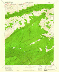 1958 Hutchinson Rock1960 Print · USGSTazewell County's high ridges and secluded valleys are documented in the late fifties, showing the complex borderlands with Bland and Smyth counties. Trace family history at Buchanan Cem or locate rural landmarks like Hutchinson Rock and Gospel Tabernacle.3 unique versions available
 - 1958 Map of Tiptop, 1960 Print
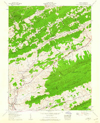 1958 Tiptop1960 Print · USGSTazewell County's mountain valleys were a hub of rail transit and coal mining during the late fifties. Genealogists and historians can trace family burial sites like Witten Cem and Peery Cem or locate industrial sites such as Wittens Mills and the Prison Camp No 31.3 unique versions available
 - 1961 Map of Bluefield
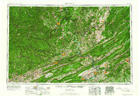 1961 Bluefield1961 Print · USGSThe coalfields and mountain ridges of southern West Virginia and southwest Virginia are captured in the early sixties. Genealogists can trace family ties through rail-linked towns like Princeton and Richlands or along the shores of Bluestone Reservoir.
 - 1968 Map of Tazewell North, 1971 Print
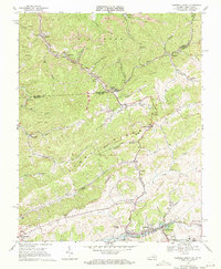 1968 Tazewell North1971 Print · USGSThe Clinch River valley and the West Virginia border come alive in the late 1960s, showing a landscape shaped by coal and rail. Genealogists and historians can trace the foundations of Tazewell, the community at Bishop, and landmarks like Lila Chapel and Maplewood Cem.2 unique versions available
 - 1968 Map of Tazewell South, 1972 Print
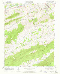 1968 Tazewell South1972 Print · USGSThe Clinch River valley and surrounding mountain ridges are captured here during the late sixties. Genealogists and local historians can trace the rural communities of Maiden and Asberrys alongside landmarks like Wittens Fort and Bundys Chapel.2 unique versions available
 - 1981 Map of Bluefield
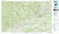 1981 Bluefield1981 Print · USGSThe coalfields and mountain ridges of the Virginia-West Virginia border are captured here during the early eighties. Genealogists and historians can trace the rail lines of the Norfolk and Western RR connecting Coalwood, Welch, and the unique geological basin of Burkes Garden.2 unique versions available
Showing maps 1-25 of 45
Top cities near Tazewell
- Bluefield historical maps
- Saltville historical maps
- Rural Retreat historical maps
- Springville historical maps
- Gratton historical maps
- Gary historical maps
See more
Top neighborhoods of Tazewell
- Fourway historical maps
- North Tazewell historical maps
- River Jack historical maps
- Benbolt historical maps
- Drytown historical maps
Frequently asked questions
- What are the different types of historical maps available for Tazewell?
- What is the oldest map of Tazewell?
- Where can I purchase historical maps of Tazewell for my home or office?
- Where can I download high-res historical maps of Tazewell?
- Are there historical topographic maps available for Tazewell?
- Is there historical aerial imagery available for Tazewell?
- Where are historical maps of Tazewell sourced from?