2020s Maps of Asotin County, Washington
Explore 48 historic maps of Asotin County from the 2020s. These maps offer a rare glimpse into what life looked like during the 2020s — showing old roads, neighborhoods, homes, and landmarks that have changed or disappeared over time.
Whether you're researching your family's past, planning a metal detecting trip, or studying how Asotin County's landscape evolved across the 2020s, these high-resolution maps are a powerful tool for exploring the history of this region.
- Focus on a specific era: All maps on this page are from the 2020s, giving you a focused view of this time period.
- See what’s changed: Compare century-old streets, trails, and buildings to today's modern landscape using overlays and satellite layers.
- Research with precision: Use these maps for genealogy, historical research, land use analysis, or educational projects.
- View, download, or print: Maps are fully viewable online in high resolution, and can be downloaded or printed for your own records.
Start exploring Asotin County's history through authentic maps from the 2020s. This is your window into the past.
Asotin County, WA maps
(48)- 2020 Map of Fields Spring, 2020 Print
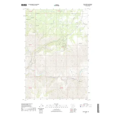 2020 Fields Spring2020 Print · USGSAsotin County’s high plateaus and river canyons are detailed here in recent years as the landscape transitions from forest ridges to the river floor. Researchers can trace historic family-named landmarks like Huber Gulch and Benson Ridge or follow the descent of Shumaker Grade Rd into the canyon.
 - 2020 Map of Rockpile Creek, 2020 Print
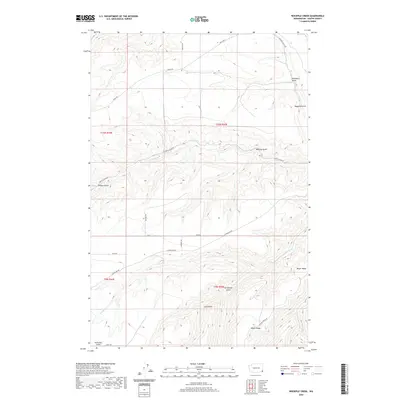 2020 Rockpile Creek2020 Print · USGSAsotin County’s high ridges and deep drainages are meticulously detailed in this recent survey. Local researchers can trace the routes of Cloverland Rd and Peola Rd past landmarks like Meyer Ridge and Stringtown Gulch.
 - 2020 Map of Clarkston, 2020 Print
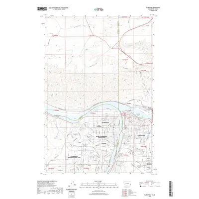 2020 Clarkston2020 Print · USGSThe confluence of the Snake and Clearwater Rivers defines this 2020 look at the Washington-Idaho border. Researchers can trace local genealogy at Vineland Cem or explore the civic layout of Clarkston, Lewiston, and Lewiston Orchards.
 - 2020 Map of Silcott Island, 2020 Print
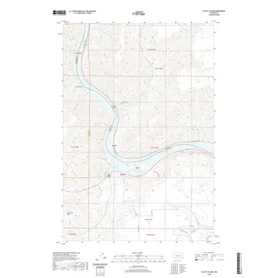 2020 Silcott Island2020 Print · USGSThe Snake River corridor in southeastern Washington is captured here in modern detail. Local historians can trace the geography around Silcott and Moses, or locate landmarks like the Indian Timothy Bridge and the steep terrain of Flerchinger Ridge.
 - 2020 Map of Alpowa Ridge, 2020 Print
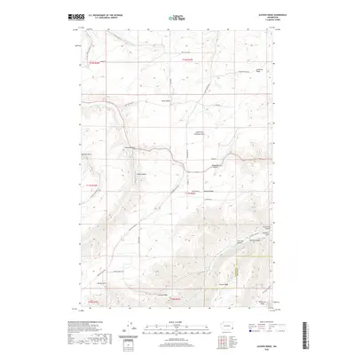 2020 Alpowa Ridge2020 Print · USGSThe high plateau country of the Washington-Idaho borderlands is captured here in the early twenty-first century, showcasing a landscape of deep canyons and prominent ridges. Researchers can trace land use patterns across Pataha Valley and find remote water sources like Dresser Spring and Kaufman Springs.
 - 2020 Map of Stember Creek, 2020 Print
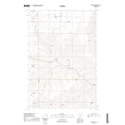 2020 Stember Creek2020 Print · USGSAsotin and Garfield Counties meet in this upland landscape during the early twenty-first century. Researchers can trace family land ties and mountain access routes along Valentine Ridge Rd, Knotgrass Ridge, and the winding Alpowa Cr.
 - 2020 Map of Black Butte, 2020 Print
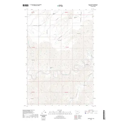 2020 Black Butte2020 Print · USGSThe deep canyons and high plateaus of Asotin County are shown here in modern detail, capturing the dramatic terrain of the Snake River watershed. Researchers can trace land use and local history through landmarks like Craige Cem, the heights of Black Butte, and the winding Grande Ronde River.
 - 2020 Map of Asotin, 2020 Print
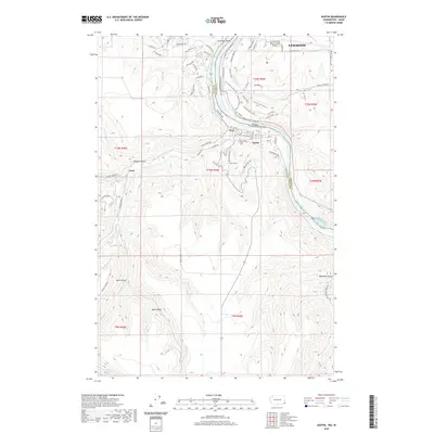 2020 Asotin2020 Print · USGSThe Idaho and Washington border comes alive in this study of the Snake River canyon as it appeared in recent years. Researchers can trace the layout of Asotin, locate the Asotin Cem, or explore the ridges surrounding Jerry and Ayers Gulch.
 - 2020 Map of Weissenfels Ridge, 2020 Print
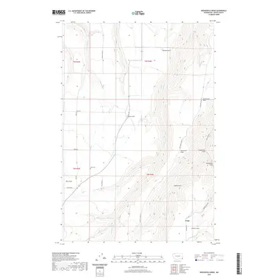 2020 Weissenfels Ridge2020 Print · USGSAsotin County's high ridges and deep coulees appear in detail during this modern survey of Washington's southeastern corner. Researchers can trace the legacy of remote settlements through the Theon Cem, the community of Craige, and landmarks like Schoolhouse Draw.
 - 2020 Map of Anatone, 2020 Print
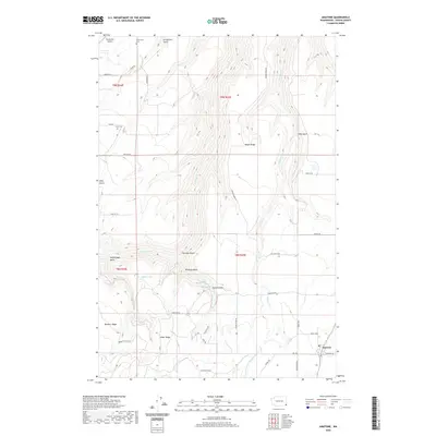 2020 Anatone2020 Print · USGSThe rural plateau around Anatone is captured here in the early twenty-first century, showing a landscape defined by deep gulches and high ridges. Local historians can locate the Cloverland Cem and Lake Cem, or trace family landmarks like Huber Ridge and Meyer Ridge.
 - 2020 Map of Saddle Butte, 2020 Print
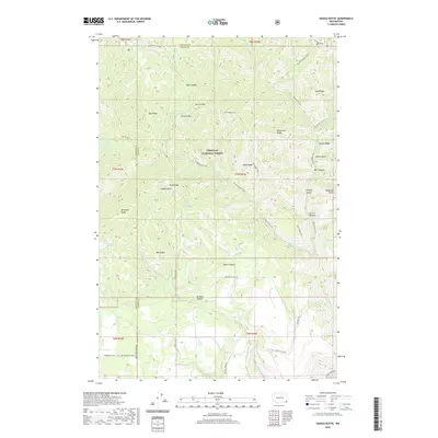 2020 Saddle Butte2020 Print · USGSAsotin County high country is mapped in the modern era, showing the protected lands of the Umatilla National Forest. Outdoor enthusiasts and researchers can trace historic routes like the Wenatchee Trail across landmarks such as Saddle Butte and Mt Horrible.
 - 2020 Map of Potter Hill, 2020 Print
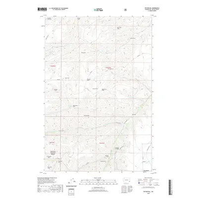 2020 Potter Hill2020 Print · USGSCloverland and the high ridge country of Asotin County are captured here just as the modern century reached its second decade. Researchers can trace landforms and local water sources like Potter Hill, The Gooseneck, and Blankenship Spring along the edges of the Umatilla National Forest.
 - 2020 Map of Harlow Ridge, 2020 Print
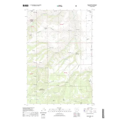 2020 Harlow Ridge2020 Print · USGSAsotin County’s high ridge country is captured here in the northern reaches of the Umatilla National Forest. Genealogists and historians can trace the paths of the Asotin-Cloverland Road and locate remote water sources like Park Spring, Sheriff Spring, and Arnold Spring.
 - 2020 Map of Mountain View, 2020 Print
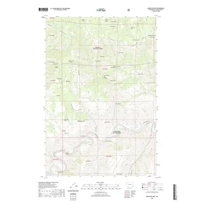 2020 Mountain View2020 Print · USGSAsotin County’s high ridge country is captured here in the late twenty-first century, showing the intersection of forest lands and river valleys. Researchers can locate the Mountain View settlement and local burial grounds like Autrey Cem and Mountain View Cem.
 - 2020 Map of Pinkham Butte, 2020 Print
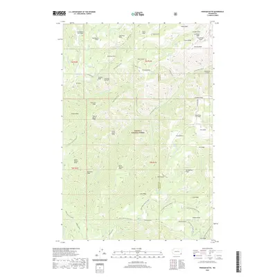 2020 Pinkham Butte2020 Print · USGSAsotin County high country is mapped here during the 2020s, showing a land of deep canyons and named ridges within the Umatilla National Forest. Researchers can trace old mountain routes like Pinkham Trail and Smoothing Iron to remote points such as Jump Off Joe Point.
 - 2020 Map of Peola, 2020 Print
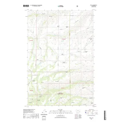 2020 Peola2020 Print · USGSPeola and the high plateaus of Garfield County are documented in this recent survey of the Blue Mountains. Genealogists and local historians can trace family-named landmarks like Pioneer Cem and remote springs such as Williams Spring and Wolf Spring.
 - 2020 Map of Jim Creek Butte, 2020 Print
 2020 Jim Creek Butte2020 Print · USGSThe tri-state border region of Idaho, Oregon, and Washington remains a wilderness of steep canyons and river rapids in the early twenty-first century. Researchers can trace the rugged topography of the Snake River corridor through landmarks like Cochran Islands, Jim Creek Butte, and the Baldwin Area.
 - 2020 Map of Paradise, 2020 Print
 2020 Paradise2020 Print · USGSThe community of Paradise and its high-plateau ranches are documented here as they appeared in the early twenty-first century. Researchers can locate the Beach Ranch Airport and Paradise Cem or trace the steep descents into Joseph Canyon and Brushy Gulch.
 - 2020 Map of Teepee Butte, 2020 Print
 2020 Teepee Butte2020 Print · USGSThe high canyon country of the Washington-Oregon border remains a remote wilderness of the Wallowa National Forest. Trace the deep drainages of Joseph Canyon and find seasonal water sources like Huffman Camp Spring and Wildhorse Spring tucked among the ridges.
 - 2020 Map of Troy, 2020 Print
 2020 Troy2020 Print · USGSThe Oregon-Washington borderlands near Troy are defined by the convergence of major rivers and high ridge country. Genealogists and hikers can trace old routes and local landmarks like Bartlett Cem, Grouse Flat, and the remote Wenaha River Trail.
 - 2020 Map of Flora, 2020 Print
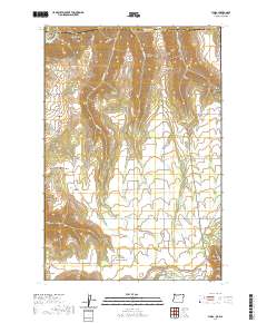 2020 Flora2020 Print · USGSWallowa County high country is shown here at the edge of the Washington border, centered on the historic community of Flora. Genealogists can trace local heritage at Lost Prairie Cem or follow the terrain from Buck Butte to the Grande Ronde River.
 - 2020 Map of Lewiston Orchards South, 2020 Print
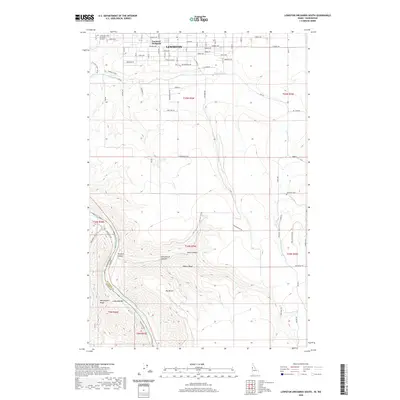 2020 Lewiston Orchards South2020 Print · USGSLewiston and the plateau of Lewiston Orchards were well-established residential and agricultural hubs by the early 2020s. Researchers can trace the descent from suburban streets into the rugged canyons of Tammany Creek and find sites like Tammany Cemetery.
 - 2020 Map of Limekiln Rapids, 2020 Print
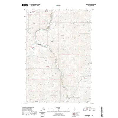 2020 Limekiln Rapids2020 Print · USGSThe confluence of the Snake and Grande Ronde rivers at the Washington-Idaho border defines this area in the late 2010s. Trace the remote settlement at Rogersburg, its riverside airport, and the series of whitewater features like Limekiln Rapids and Captain John Rapids.
 - 2020 Map of Captain John Rapids, 2020 Print
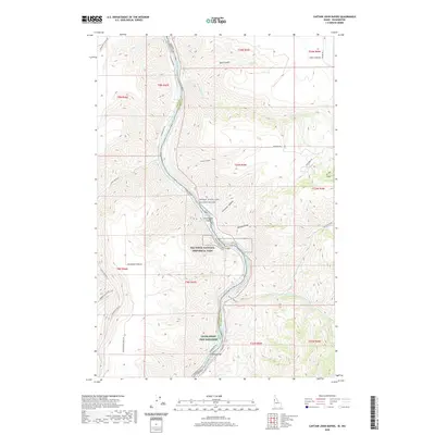 2020 Captain John Rapids2020 Print · USGSThe Snake River canyon along the Washington and Idaho border is documented here in the early twenty-first century. Researchers can trace the rugged topography of Nez Perce National Historical Park and locate landmarks like Steamboat Island or the Lyons Ferry Fish Hatchery.
 - 2023 Map of Weissenfels Ridge, 2023 Print
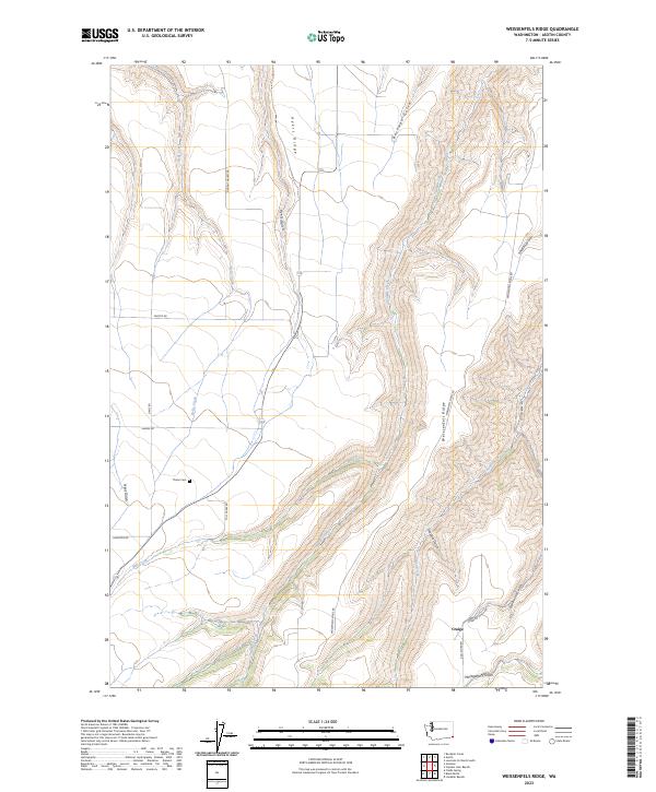 2023 Weissenfels Ridge2023 Print · USGSAsotin County high country is documented here in the early twenty-first century, showing the enduring ranching and rural character of the region. Researchers can locate the Theon Cem and trace early routes along Weissenfels Ridge or through the valley of Mill Creek.
Showing maps 1-25 of 48
Top cities of Asotin County
Frequently asked questions
- What are the different types of historical maps available for Asotin County?
- What is the oldest map of Asotin County?
- Where can I purchase historical maps of Asotin County for my home or office?
- Where can I download high-res historical maps of Asotin County?
- Are there historical topographic maps available for Asotin County?
- Is there historical aerial imagery available for Asotin County?
- Where are historical maps of Asotin County sourced from?