2010s Maps of Asotin County, Washington
Explore 72 historic maps of Asotin County from the 2010s. These maps offer a rare glimpse into what life looked like during the 2010s — showing old roads, neighborhoods, homes, and landmarks that have changed or disappeared over time.
Whether you're researching your family's past, planning a metal detecting trip, or studying how Asotin County's landscape evolved across the 2010s, these high-resolution maps are a powerful tool for exploring the history of this region.
- Focus on a specific era: All maps on this page are from the 2010s, giving you a focused view of this time period.
- See what’s changed: Compare century-old streets, trails, and buildings to today's modern landscape using overlays and satellite layers.
- Research with precision: Use these maps for genealogy, historical research, land use analysis, or educational projects.
- View, download, or print: Maps are fully viewable online in high resolution, and can be downloaded or printed for your own records.
Start exploring Asotin County's history through authentic maps from the 2010s. This is your window into the past.
Asotin County, WA maps
(72)- 2011 Map of Black Butte, 2011 Print
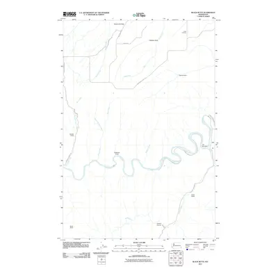 2011 Black Butte2011 Print · USGSIn the early twenty-first century, the canyonlands of Asotin County remained defined by the winding Grande Ronde River. Genealogists and historians can locate Craige Cemetery and trace rugged old routes like Shumaker Grade Rd near Joseph Canyon.
 - 2011 Map of Rockpile Creek, 2011 Print
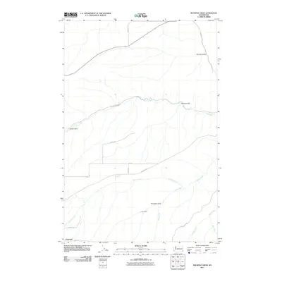 2011 Rockpile Creek2011 Print · USGSAsotin County agriculture and drainage patterns are recorded here just after the first decade of the new millennium. Researchers can trace the path of Mail Route Rd or locate rural holdings near Cloverland and the deep cuts of Stringtown Gulch.
 - 2011 Map of Fields Spring, 2011 Print
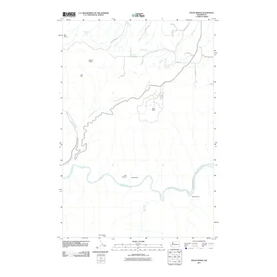 2011 Fields Spring2011 Print · USGSAsotin County's dramatic river-carved terrain is showcased here in the early twenty-first century as the Grande Ronde River winds through deep canyons. Researchers can locate the Kuhn Landing Strip and trace local paths like Shumaker Grade Rd and Montgomery Ridge Rd.
 - 2011 Map of Anatone, 2011 Print
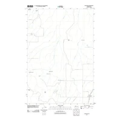 2011 Anatone2011 Print · USGSAsotin County's agricultural plateaus and deep gulches are captured here in the early twenty-first century. Genealogists and local historians can trace family roots through the Cloverland Cemetery and the remote settlement of Anatone.
 - 2011 Map of Silcott Island, 2011 Print
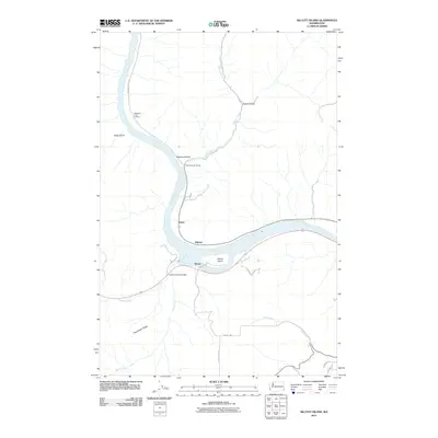 2011 Silcott Island2011 Print · USGSThe Snake River corridor in southeastern Washington comes into sharp focus during the early twenty-first century. Researchers can trace the riverfront at Alpowa and Silcott, or locate landmarks like the Indian Timothy Bridge and Nisqually John Landing.
 - 2011 Map of Clarkston, 2011 Print
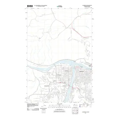 2011 Clarkston2011 Print · USGSThe confluence of the Snake and Clearwater Rivers dominates this view of the Idaho-Washington border at the start of the twenty-first century. Researchers can trace urban expansion across West Clarkston and North Lewiston or locate landmarks like Vineland Cemetery and the Lewiston Airport.
 - 2011 Map of Alpowa Ridge, 2011 Print
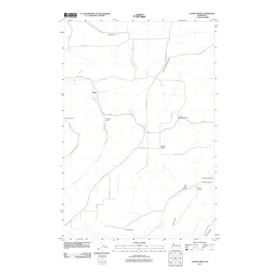 2011 Alpowa Ridge2011 Print · USGSGarfield County’s high plateau country is documented here in the early 2000s, showing a landscape defined by deep canyons and prominent ridges. Genealogists and local historians can trace the rural infrastructure around Mentor and family-named landmarks like Darland Ridge, Palmer Canyon, and Smith Gulch.
 - 2011 Map of Weissenfels Ridge, 2011 Print
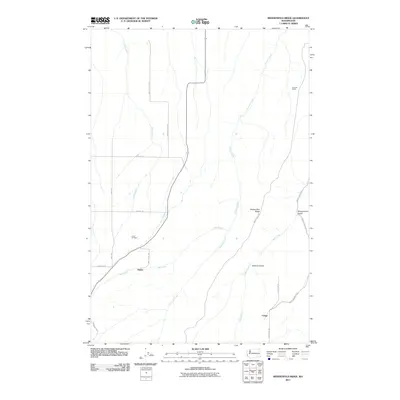 2011 Weissenfels Ridge2011 Print · USGSAsotin County ranching and rural life are preserved here in the early twenty-first century. Researchers can trace the layout of high-ridge settlements and isolated landmarks like Theon Cemetery, Craige, and the Ausman Ranch.
 - 2011 Map of Stember Creek, 2011 Print
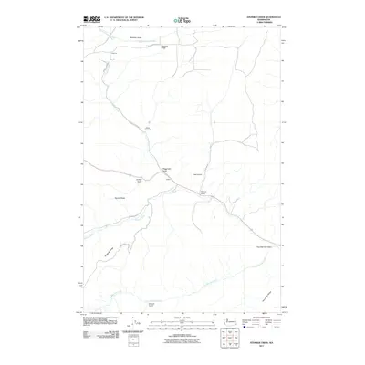 2011 Stember Creek2011 Print · USGSAsotin County’s high ridge country is captured here in the early 21st century, showing a landscape defined by deep canyons and isolated settlements. Researchers can trace the drainages of Alpowa Creek and Stember Creek or locate landmarks like Valentine and Flerchinger Ridge.
 - 2011 Map of Asotin, 2011 Print
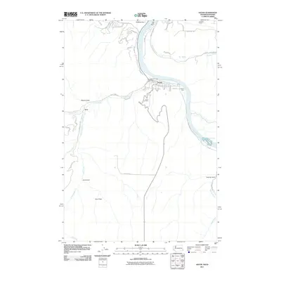 2011 Asotin2011 Print · USGSThe Snake River corridor comes into sharp focus during the early twenty-first century, showing the settlement of Asotin and its surrounding canyonlands. Researchers can trace the local landscape from the Asotin Cemetery to the churning Tenmile Rapids and the remote community of Jerry.
 - 2011 Map of Mountain View, 2011 Print
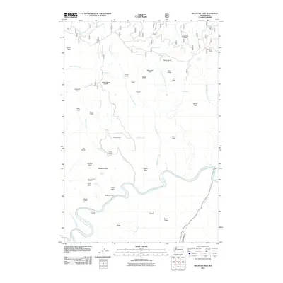 2011 Mountain View2011 Print · USGSThe high plateau of Asotin County meets the deep canyon of the Grande Ronde River in this 2011 survey. Local researchers can trace family names at Autrey Cemetery, locate the old crossing at Hanson Ferry, and study the ranching landscape near Mountain View.
 - 2011 Map of Peola, 2011 Print
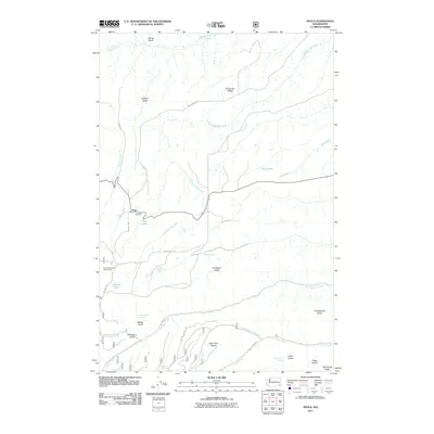 2011 Peola2011 Print · USGSPeola and the surrounding Garfield County highlands are shown here in the early twenty-first century, revealing a landscape of remote ridges and mountain springs. Researchers can find the historic Pioneer Cemetery near Peola and trace water features like Moonshine Spring and Blue Lake.
 - 2011 Map of Saddle Butte, 2011 Print
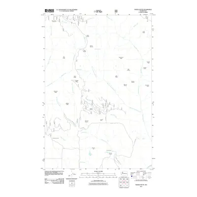 2011 Saddle Butte2011 Print · USGSAsotin County ranching life and rugged high-country terrain are captured here in the early 21st century. Researchers can locate specific family-named sites like Cecil Slaybaugh or the Sunbeam Ranch, and trace old routes through Go Devil Canyon.
 - 2011 Map of Potter Hill, 2011 Print
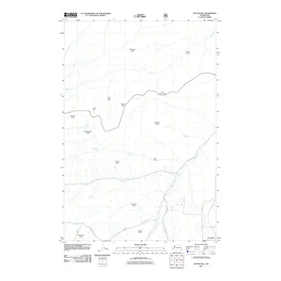 2011 Potter Hill2011 Print · USGSCloverland and the high ridges of Asotin County are captured here during the early twenty-first century as the landscape remains defined by its ranching roots. Researchers can locate remote family-named landmarks like Buckley Springs, Potter Hill, and the unique formation of The Gooseneck.
 - 2011 Map of Harlow Ridge, 2011 Print
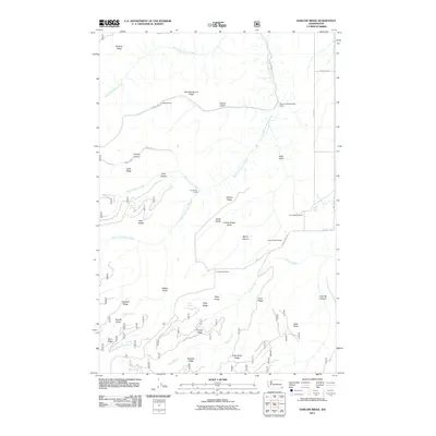 2011 Harlow Ridge2011 Print · USGSAsotin County ranching life is preserved here in the early twenty-first century, showing the remote high country before modern development. Genealogists and local historians can trace family landholdings like the Arthur Weiss Ranch and Jim Barkley Ranch alongside landmarks like Little Butte.
 - 2011 Map of Pinkham Butte, 2011 Print
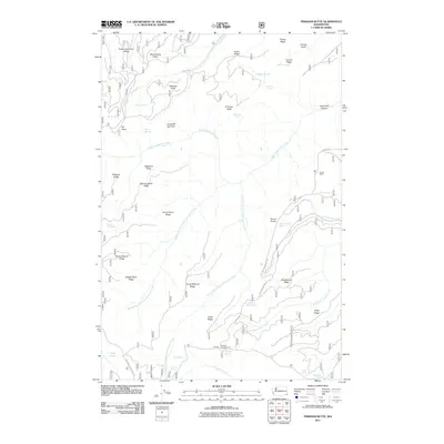 2011 Pinkham Butte2011 Print · USGSAsotin County’s high country is captured here in the early twenty-first century, showing a landscape of named ridges and remote springs. Researchers can locate the Horak Ranch and trace access roads to Wickiup Campground and Fourth of July Spring.
 - 2011 Map of Limekiln Rapids, 2011 Print
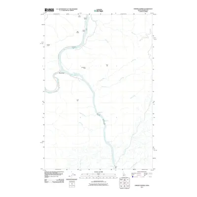 2011 Limekiln Rapids2011 Print · USGSThe confluence of the Snake and Grande Ronde Rivers comes alive in this 2011 study of the Washington-Idaho border. Researchers can trace the riverfront at Rogersburg, locate the remote Bear Bar settlement, and identify hazardous water features like Limekiln Rapids.
 - 2011 Map of Lewiston Orchards South, 2011 Print
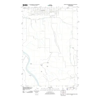 2011 Lewiston Orchards South2011 Print · USGSLewiston Orchards and the surrounding Idaho highlands are captured here in the early 21st century as the residential grid transitions into the rugged canyonlands. Researchers can locate Tammany Cemetery, Ackerman Bar, and the Nez Perce County Farm.
 - 2011 Map of Captain John Rapids, 2011 Print
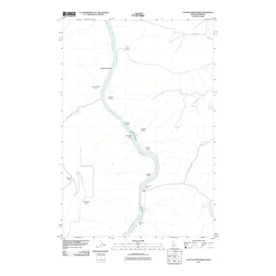 2011 Captain John Rapids2011 Print · USGSThe Snake River canyon at the turn of the decade is a landscape of rapids and river landings along the Idaho-Washington border. Researchers can locate historic river crossings and landforms like Captain John Ferry, Grahams Landing, and the Buffalo Rapids.
 - 2011 Map of Jim Creek Butte, 2011 Print
 2011 Jim Creek Butte2011 Print · USGSNear the Idaho-Washington border in the early 2010s, this landscape shows the intersection of the Snake River and high-country ranching. Trace local history through names like Jim Creek Ranch, Cochran Islands, and the high-elevation Cold Spring Cow Camp.
 - 2011 Map of Flora, 2011 Print
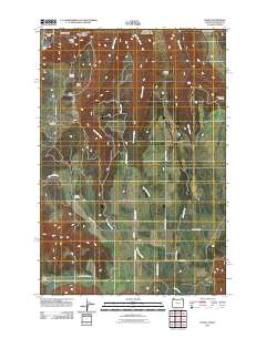 2011 Flora2011 Print · USGSThe northern reaches of Wallowa County are shown in detail during the early twenty-first century, highlighting the remote settlement of Flora. Family historians can trace local roots at Lost Prairie Cemetery and Nicoson Cemetery near the drainages of West Bear Creek.
 - 2011 Map of Paradise, 2011 Print
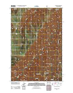 2011 Paradise2011 Print · USGSParadise and the high ranchlands of the Washington-Oregon border are documented here just after the first decade of the millennium. Researchers can trace the layout of the Paradise Cemetery, locate the Beach Ranch Airstrip, and map the ridges of Soap Flat.
 - 2011 Map of Teepee Butte, 2011 Print
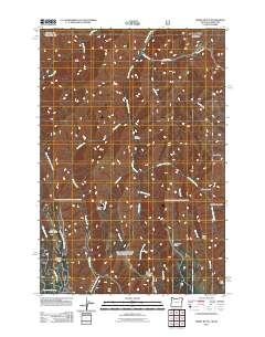 2011 Teepee Butte2011 Print · USGSAsotin County’s high country is captured here during the early twenty-first century, showing a landscape defined by deep canyons and prominent ridges. Researchers and hikers can trace remote landmarks like Teepee Butte, Hunting Camp Cow Camp, and the waters of Joseph Creek.
 - 2011 Map of Troy, 2011 Print
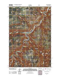 2011 Troy2011 Print · USGSThe confluence of the Grande Ronde and Wenaha rivers defines this Wallowa County landscape in the early twenty-first century. Genealogists and local historians can trace mountain settlements like Bartlett and Powwatka or locate family sites near the Bartlett Cemetery.
 - 2013 Map of Captain John Rapids, 2013 Print
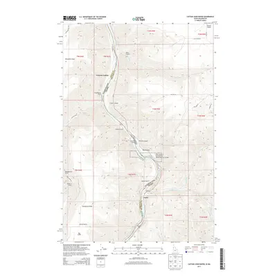 2013 Captain John Rapids2013 Print · USGSThe Snake River canyon at the Washington-Idaho border reveals a landscape of remote landings and river crossings in the early twenty-first century. Genealogists and historians can trace riverside life through markers like Captain John Ferry, Grahams Landing, and the historic grounds of Nez Perce National Historical Park.
Showing maps 1-25 of 72
Top cities of Asotin County
Frequently asked questions
- What are the different types of historical maps available for Asotin County?
- What is the oldest map of Asotin County?
- Where can I purchase historical maps of Asotin County for my home or office?
- Where can I download high-res historical maps of Asotin County?
- Are there historical topographic maps available for Asotin County?
- Is there historical aerial imagery available for Asotin County?
- Where are historical maps of Asotin County sourced from?