Old Maps of Starbuck, Washington for Genealogy
Trace your family roots with 17 historic maps of Starbuck. These high-res maps reveal old neighborhoods, homesites, landmarks, and streets — helping you uncover where your ancestors lived and how the area evolved over time.
- Explore historic neighborhoods: Identify where your relatives may have lived in the 1800s or 1900s.
- Compare maps over time: Trace the changes in streets, buildings, and landmarks for multi-generational research.
- Perfect for genealogy & ancestry research: Used by family historians and researchers to map out lineage and migration.
These maps are an incredible resource for exploring your personal connection to Starbuck's past.
Starbuck, WA maps
(17)- 1948 Map of Starbuck, 1968 Print
 1948 Starbuck1968 Print · USGSThe Snake River canyon and Palouse coulees defined this rail-and-ranching corridor in the late 1940s. Genealogists and historians can trace the foundations of Starbuck, the riverside settlement of Riparia, and family sites like Gordon Farm.
 - 1950 Map of Starbuck
 1950 Starbuck1950 Print · USGSSoutheast Washington during the late 1940s is defined by the winding Snake River and its rugged canyons. Genealogists and historians can trace the rail-and-river network of Starbuck and Riparia, or locate family sites like Gordon Farm and McGregor Ranch.
 - 1953 Map of Walla Walla, 1964 Print
 1953 Walla Walla1964 Print · USGSSoutheast Washington enters the atomic and hydroelectric age in the mid-twentieth century as new dams reshape the desert landscape. You can trace the development of the Hanford Works, identify remote rail stops like Novara Siding, and locate the historic Dry Creek Cem.3 unique versions available
 - 1958 Map of Walla Walla
 1958 Walla Walla1958 Print · USGSThe Tri-Cities and Walla Walla region are captured here during the mid-century expansion of atomic energy and river infrastructure. Genealogists and historians can trace the early layout of Richland (AEC), the rural Hatton and Washtucna settlements, and landmarks like Palouse Falls State Park.
 - 1981 Map of Starbuck East
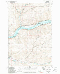 1981 Starbuck East1981 Print · USGSThe Snake River corridor in southeastern Washington comes alive in this early 1980s survey, showing the impact of damming and rail transport on the landscape. Local historians can trace the Union Pacific route through Starbuck and Riparia, alongside agricultural landmarks like Grain Elevators.
 - 1981 Map of Starbuck West
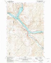 1981 Starbuck West1981 Print · USGSThe confluence of the Palouse and Snake Rivers is captured here in the early eighties, showcasing a landscape shaped by water and rail. Trace the Union Pacific line past Starbuck or locate the Marmes Rock Shelter and Old Bones Cem.
 - 1983 Map of Connell
 1983 Connell1983 Print · USGSEastern Washington's coulee country is captured here in the early eighties as a landscape of remote rail junctions and massive river engineering. Trace family roots in Connell or Kahlotus, and follow old transport lines like the Old Lind Road Grade and Burlington Northern tracks.
 - 2011 Map of Starbuck West, 2011 Print
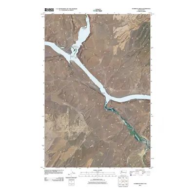 2011 Starbuck West2011 Print · USGSSoutheast Washington’s river landscape is documented here in the early twenty-first century as the Tucannon and Palouse meet the Snake. Researchers can trace the townsite of Starbuck, family landmarks like Tucker Farm, and the archaeological site at Marmes Rock Shelter.
 - 2011 Map of Starbuck East, 2011 Print
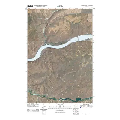 2011 Starbuck East2011 Print · USGSStarbuck and the Snake River canyons are captured here in the early twenty-first century as centers of transport and ranching. Researchers can trace land holdings at Trudgeon Ranch, river access at Riparia, and the course of the Tucannon River.
 - 2013 Map of Starbuck West, 2013 Print
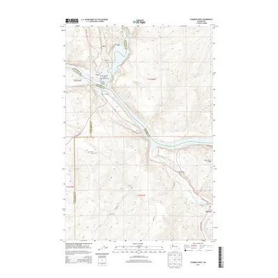 2013 Starbuck West2013 Print · USGSSoutheast Washington’s river systems take center stage in this twenty-first-century survey of the Snake River and Tucannon River valleys. Researchers can trace local landmarks like Old Bones Cem, the town of Starbuck, and the historic Marmes Rock Shelter near the Palouse River.
 - 2013 Map of Starbuck East, 2013 Print
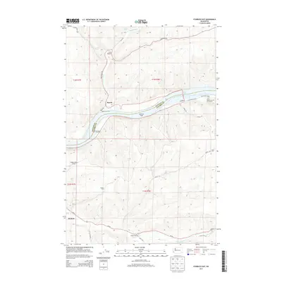 2013 Starbuck East2013 Print · USGSIn the canyonlands of Columbia and Whitman counties, this survey captures the rural landscape near the turn of the century where the Snake and Tucannon rivers meet. Researchers can trace the legacy of remote outposts and river landings like Riparia, Starbuck, and Trudgeon Ranch.
 - 2017 Map of Starbuck East, 2017 Print
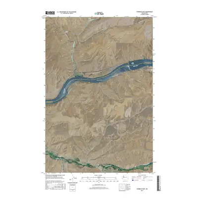 2017 Starbuck East2017 Print · USGSThe Snake River valley near the Columbia and Whitman County line is shown here in the late twenty-teens. Historians and researchers can locate the riverside settlement of Riparia, the town of Starbuck on the Tucannon River, and rural landmarks like Smith Hollow.
 - 2017 Map of Starbuck West, 2017 Print
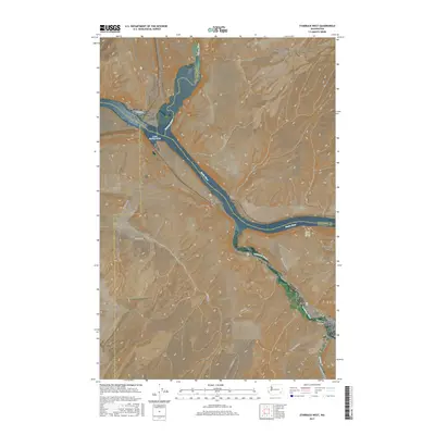 2017 Starbuck West2017 Print · USGSSoutheast Washington’s river country comes into focus in this recent survey, showing the meeting of the Snake and Palouse rivers. Researchers can trace the layout of Starbuck and locate family landmarks like Old Bones Cem or the rail-crossing at Joso.
 - 2020 Map of Starbuck East, 2020 Print
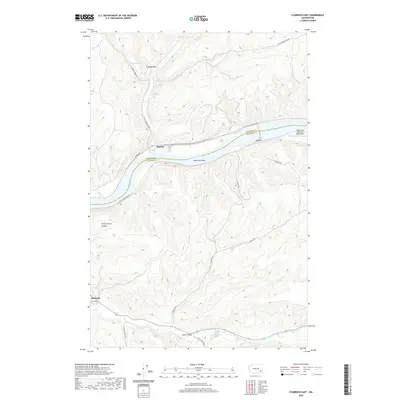 2020 Starbuck East2020 Print · USGSSoutheast Washington in the early twenty-first century reveals a landscape shaped by the Snake River and the Tucannon River. Researchers can trace old transportation corridors along Riparia Rd or locate landmarks like McGuire Shoal and the town of Starbuck.
 - 2020 Map of Starbuck West, 2020 Print
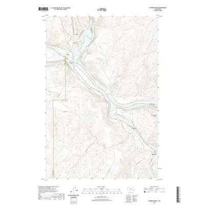 2020 Starbuck West2020 Print · USGSAt the meeting of the Snake and Palouse Rivers in the 2020s, this area of Washington preserves a legacy of river-valley settlement and transit. Researchers can trace historic points like the Old Bones Cem, the Lyons Ferry Bridge, and the town of Starbuck.
 - 2023 Map of Starbuck West, 2023 Print
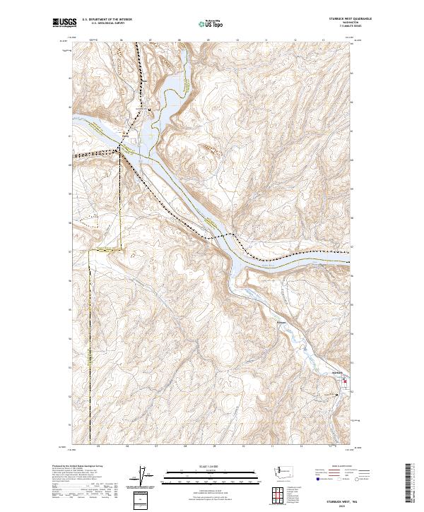 2023 Starbuck West2023 Print · USGSThe confluence of the Snake, Palouse, and Tucannon rivers defines this area of southeastern Washington as it appeared in the early twenty-first century. Researchers can locate the historic river settlements of Starbuck and Perry, alongside legacy landmarks like the Old Bones Cem and Lyons Ferry Fish Hatchery.
 - 2023 Map of Starbuck East, 2023 Print
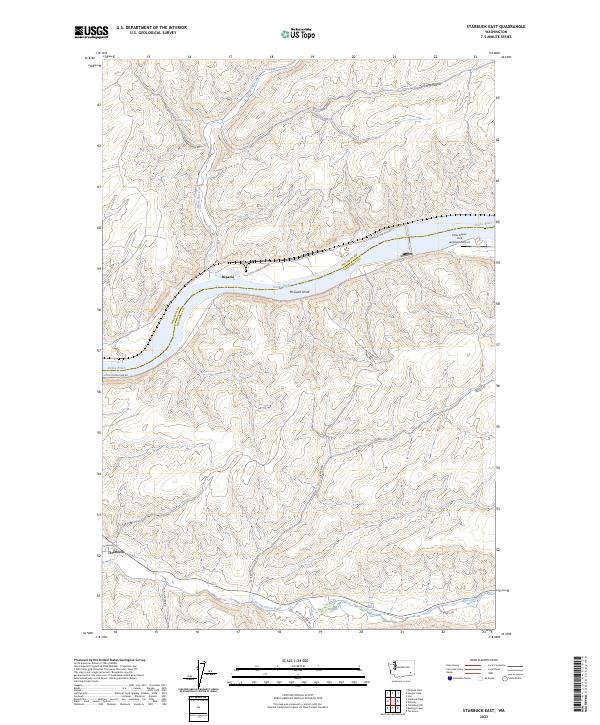 2023 Starbuck East2023 Print · USGSSoutheast Washington's river-cut landscape is captured here in the twenty-first century, showing the confluence of the Snake and Tucannon rivers. Researchers can trace the settlement at Starbuck, the historic site of Riparia, and the Little Goose Lock and Dam-Airport.
End of results
Showing maps 1-17 of 17
Top cities near Starbuck
Frequently asked questions
- What are the different types of historical maps available for Starbuck?
- What is the oldest map of Starbuck?
- Where can I purchase historical maps of Starbuck for my home or office?
- Where can I download high-res historical maps of Starbuck?
- Are there historical topographic maps available for Starbuck?
- Is there historical aerial imagery available for Starbuck?
- Where are historical maps of Starbuck sourced from?