2000s (21st Century) Maps of Cle Elum, Washington
Explore 12 historic maps of Cle Elum from the 2000s (21st Century). These maps offer a rare glimpse into what life looked like during the 2000s — showing old roads, neighborhoods, homes, and landmarks that have changed or disappeared over time.
Whether you're researching your family's past, planning a metal detecting trip, or studying how Cle Elum's landscape evolved across the 2000s, these high-resolution maps are a powerful tool for exploring the history of this region.
- Focus on a specific era: All maps on this page are from the 2000s, giving you a focused view of this time period.
- See what’s changed: Compare century-old streets, trails, and buildings to today's modern landscape using overlays and satellite layers.
- Research with precision: Use these maps for genealogy, historical research, land use analysis, or educational projects.
- View, download, or print: Maps are fully viewable online in high resolution, and can be downloaded or printed for your own records.
Start exploring Cle Elum's history through authentic maps from the 2000s. This is your window into the past.
Cle Elum, WA maps
(12)- 2003 Map of Ronald, 2006 Print
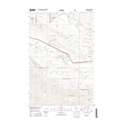
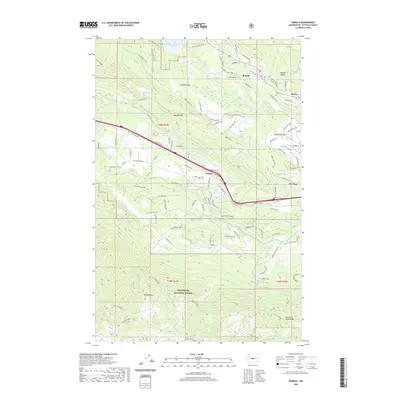
 2003 Ronald2006 Print · USGSThe coal country of the upper Yakima Valley is preserved here at the start of the twenty-first century. Genealogists and industrial historians can trace the footprints of the Roslyn-Cascade Mine No 4, the Cemetery at Roslyn, and the rail-trail at Nelson.
 - 2003 Map of Cle Elum, 2006 Print
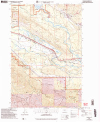
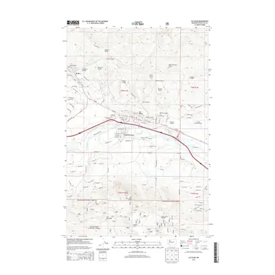
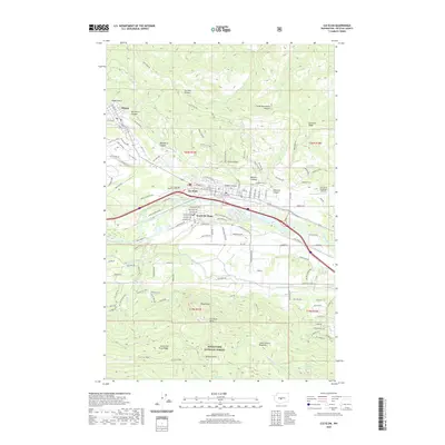
 2003 Cle Elum2006 Print · USGSUpper Kittitas County at the turn of the millennium shows a fascinating mix of coal mining heritage and riverside development. Researchers can trace family history through Roslyn and Cle Elum, locating landmarks like the No. 9 Mine and Rothlisberger Cem.
 - 2011 Map of Ronald, 2011 Print
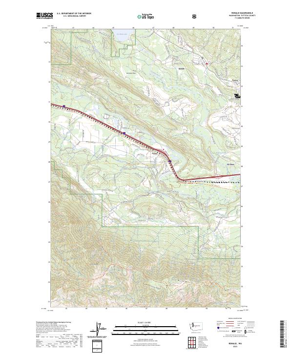
 2011 Ronald2011 Print · USGSCovers Cle Elum, including Roslyn, Ronald, and other nearby areas
 - 2011 Map of Cle Elum, 2011 Print
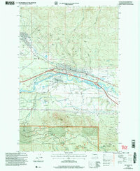
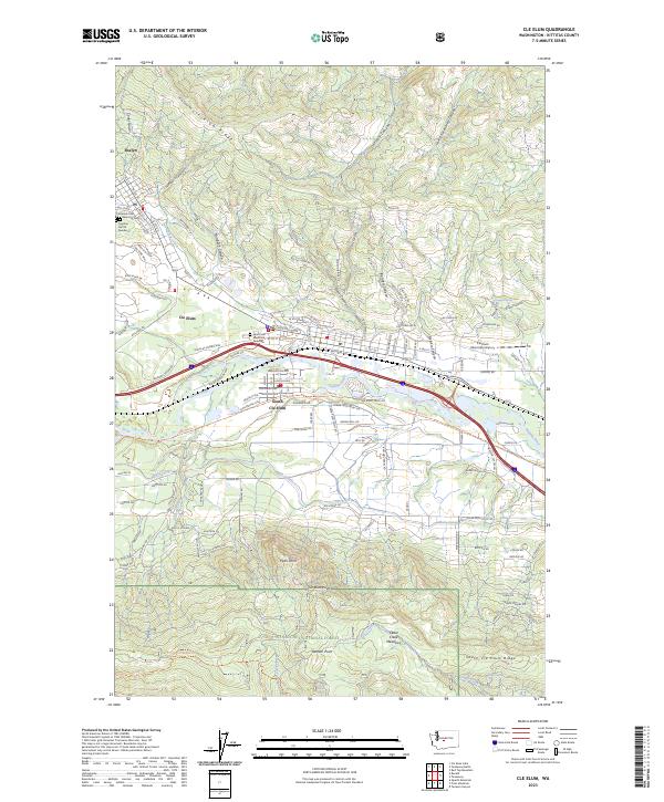
 2011 Cle Elum2011 Print · USGSCovers Cle Elum, including Roslyn, South Cle Elum, and other nearby areas
 - 2014 Map of Cle Elum, 2014 Print
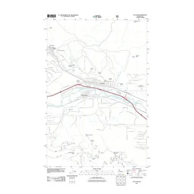
 2014 Cle Elum2014 Print · USGSCovers Cle Elum, including Roslyn, South Cle Elum, and other nearby areas
 - 2014 Map of Ronald, 2014 Print
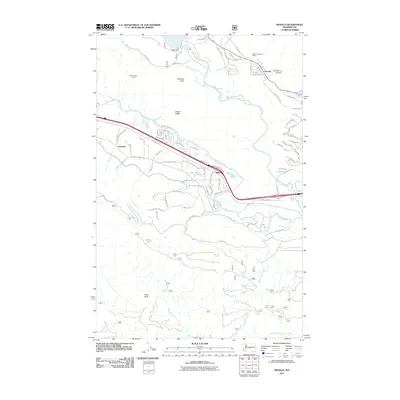
 2014 Ronald2014 Print · USGSCovers Cle Elum, including Roslyn, Ronald, and other nearby areas
 - 2017 Map of Cle Elum, 2017 Print
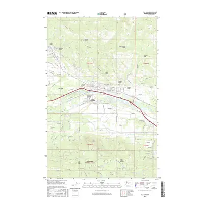 2017 Cle Elum2017 Print · USGSCovers Cle Elum, including Roslyn, South Cle Elum, and other nearby areas
 - 2017 Map of Ronald, 2017 Print
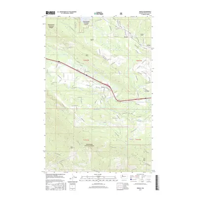 2017 Ronald2017 Print · USGSCovers Cle Elum, including Roslyn, Ronald, and other nearby areas
 - 2020 Map of Cle Elum, 2020 Print
 2020 Cle Elum2020 Print · USGSCovers Cle Elum, including Roslyn, South Cle Elum, and other nearby areas
 - 2020 Map of Ronald, 2020 Print
 2020 Ronald2020 Print · USGSCovers Cle Elum, including Roslyn, Ronald, and other nearby areas
 - 2023 Map of Ronald, 2023 Print
 2023 Ronald2023 Print · USGSThe upper Yakima valley at the edge of the Cascades shows a landscape shaped by coal mining history and mountain recreation. Researchers can trace the Historic Roslyn Cemetery Complex or follow the rail-trail history along the John Wayne Trl near Ronald and Nelson.
 - 2023 Map of Cle Elum, 2023 Print
 2023 Cle Elum2023 Print · USGSKittitas County’s mountain-and-river landscape is captured in the early 2020s, showing the evolving layout of Roslyn and Cle Elum. Researchers can trace local burial sites like Croatian Cem Number 2 and family landmarks near Peoh Point or the Yakima River.
End of results
Showing maps 1-12 of 12
Top cities near Cle Elum
Frequently asked questions
- What are the different types of historical maps available for Cle Elum?
- What is the oldest map of Cle Elum?
- Where can I purchase historical maps of Cle Elum for my home or office?
- Where can I download high-res historical maps of Cle Elum?
- Are there historical topographic maps available for Cle Elum?
- Is there historical aerial imagery available for Cle Elum?
- Where are historical maps of Cle Elum sourced from?