1960s Maps of Lincoln County, Washington
Explore 33 historic maps of Lincoln County from the 1960s. These maps offer a rare glimpse into what life looked like during the 1960s — showing old roads, neighborhoods, homes, and landmarks that have changed or disappeared over time.
Whether you're researching your family's past, planning a metal detecting trip, or studying how Lincoln County's landscape evolved across the 1960s, these high-resolution maps are a powerful tool for exploring the history of this region.
- Focus on a specific era: All maps on this page are from the 1960s, giving you a focused view of this time period.
- See what’s changed: Compare century-old streets, trails, and buildings to today's modern landscape using overlays and satellite layers.
- Research with precision: Use these maps for genealogy, historical research, land use analysis, or educational projects.
- View, download, or print: Maps are fully viewable online in high resolution, and can be downloaded or printed for your own records.
Start exploring Lincoln County's history through authentic maps from the 1960s. This is your window into the past.
Lincoln County, WA maps
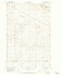
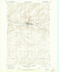
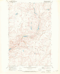
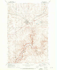
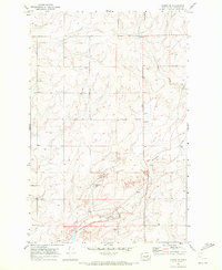
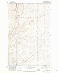
(33)- 1965 Map of Ritzville
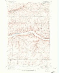
 1965 Ritzville1965 Print · USGSCentral Washington during the mid-sixties shows a landscape shaped by massive irrigation projects and the Cold War. Genealogists and historians can trace rail-town life and military presence through Ephrata Air Base, the Telford Station, and local schools.
 - 1968 Map of Marlin SW, 1971 Print
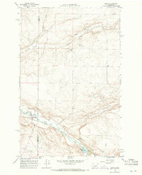
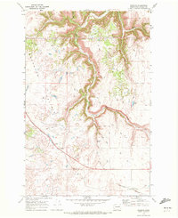
 1968 Marlin SW1971 Print · USGSEastern Washington ranch land and the Channeled Scablands are captured here in the late sixties, showing a landscape defined by water and rail. Trace the historic route of the Burlington Northern Railroad along Crab Creek or locate local landmarks like Black Rock Coulee.2 unique versions available
 - 1968 Map of Irby, 1971 Print
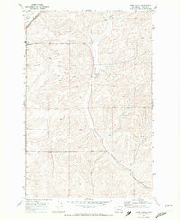
 1968 Irby1971 Print · USGSLincoln County in the late 1960s shows a landscape of railroads and remote settlements along the Crab Creek valley. Trace the old Burlington Northern line through Irby and find rural landmarks like Bungalow and Bobs Lakes.
 - 1968 Map of Sylvan Lake, 1971 Print
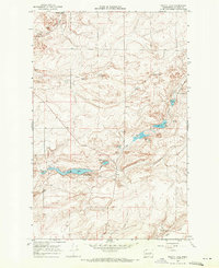
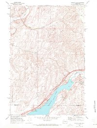
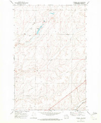
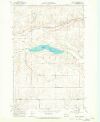 1968 Sylvan Lake1971 Print · USGSThe Lincoln and Adams county line comes into focus in the late 1960s, showing a quiet landscape of water gaps and rail lines. Genealogists and historians can trace the paths of Davis Road and Nielson Road near the settlement of Nemo.
 - 1968 Map of Coffeepot Lake, 1971 Print
 1968 Coffeepot Lake1971 Print · USGSLincoln County in the late 1960s remains a landscape of open coulees and basalt outcrops centered around the waters of Coffeepot Lake. Researchers can trace the reach of rural infrastructure through the presence of Storage Bins, a long Pipeline, and remote Gravel Pits.
 - 1968 Map of Marlin, 1971 Print
 1968 Marlin1971 Print · USGSMarlin and the surrounding Big Bend country are captured in the late sixties as the rail-and-river economy shaped this high desert landscape. Genealogists and local historians can locate Zion Church, the local Cem, and trace the Burlington Northern line along Crab Creek.2 unique versions available
 - 1968 Map of Pacific Lake, 1971 Print
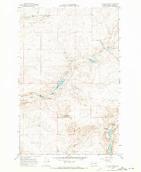
 1968 Pacific Lake1971 Print · USGSLincoln County at the end of the sixties reveals a landscape of interconnected water bodies and family-named landmarks. Researchers can trace land use through features like Allington Bay, a small rural Cem, and the various family holdings at Woderspahn Lake.
 - 1968 Map of Odessa, 1971 Print
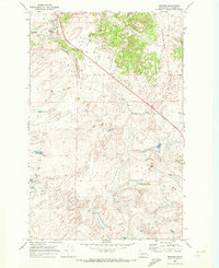
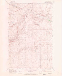
 1968 Odessa1971 Print · USGSOdessa thrived as a rail and ranching hub in the late sixties, where the scabland coulees meet the valley floor. Genealogists and researchers can trace family landmarks like the Reich Windmill and Adams, or locate the Odessa Cem.
 - 1968 Map of Sullivan Lake, 1971 Print
 1968 Sullivan Lake1971 Print · USGSThe high plateau of Lincoln County in the late sixties was a landscape of remote springs and small catchments. Genealogists and local historians can trace family-named landmarks like Goetz Lake, Delzer Falls, and Bulgarians Lake across these rural townships.
 - 1969 Map of Rocklyn SW, 1972 Print
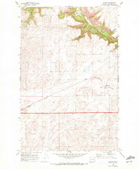
 1969 Rocklyn SW1972 Print · USGSLincoln County at the end of the sixties shows a landscape of interior basins and seasonal water. Genealogists and historians can locate the Earl (Site) or trace the network of Jeep Trails connecting Wall Lake and Seven Springs.
 - 1969 Map of Bluestem, 1972 Print
 1969 Bluestem1972 Print · USGSLincoln County’s agricultural and rail corridor is captured here in the late sixties, centered on the grain hub at Bluestem. Genealogists and historians can trace the Old Railroad Grade and locate features like the Grain Elevators and the settlement of Negus.2 unique versions available
 - 1969 Map of Harrington, 1972 Print
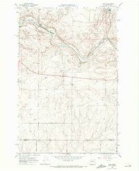
 1969 Harrington1972 Print · USGSHarrington and the surrounding wheat country are captured in the late sixties as the rail-driven economy thrived. Trace the tracks of the Burlington Northern between Harrington and Mohler past local Grain Elevators and the Golf and Country Club.
 - 1969 Map of Sprague Lake, 1972 Print
 1969 Sprague Lake1972 Print · USGSLincoln and Adams counties appear here in the late sixties, showing the agricultural landscape surrounding Sprague Lake. Trace the local rail and grain economy through the Burlington Northern line at Pifer and the Crab Creek Grange Hall.
 - 1969 Map of Lords Valley, 1972 Print
 1969 Lords Valley1972 Print · USGSLincoln County farmland and the drainage of Lords Valley are documented here in the late sixties. Genealogists and local historians can trace the rail corridor of the Burlington Northern near Harrington or find the rural settlement at Duncan.
 - 1969 Map of Almira, 1972 Print
 1969 Almira1972 Print · USGSAlmira and the surrounding Coulee Country are captured here in the late sixties as the wheat-farming landscape continued its rail-centered development. Researchers can trace local landmarks like Almira Cemetery, the Burlington Northern railroad, and natural features such as Tracys Cave.
 - 1969 Map of Cormana Lake, 1972 Print
 1969 Cormana Lake1972 Print · USGSLincoln County’s rural landscape is detailed in the late sixties, showing the vital rail and water networks of the era. Genealogists and historians can locate the settlements of Downs and Mona, or trace the Burlington Northern tracks and Cormana Lake.
 - 1969 Map of Mondovi, 1972 Print
 1969 Mondovi1972 Print · USGSLincoln County grain country is captured here during the late sixties, centered on the rail-side settlement of Mondovi. Researchers can trace the path of the Burlington Northern and locate the town's Grain Elevators and nearby Saben Canyon.2 unique versions available
 - 1969 Map of Almira SE, 1972 Print
 1969 Almira SE1972 Print · USGSLincoln County farmland in the late 1960s reveals a landscape of dryland wheat production and early homestead history. Genealogists and historians can trace the Tolonen Cem and the drainage of Canniwai Creek past several Grain Elevator and Storage Bins sites.
 - 1969 Map of Lamona, 1972 Print
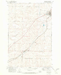
 1969 Lamona1972 Print · USGSLincoln County farming and rail transport are captured here in the late sixties, centered on the railroad siding of Lamona. Genealogists and local historians can trace family land via named routes like Thiel Road and Arlt Rd near the banks of Crab Creek.
 - 1969 Map of Telford, 1972 Print
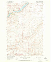
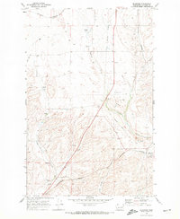
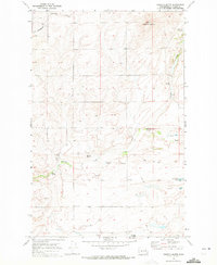
 1969 Telford1972 Print · USGSLincoln County ranching country is shown here in the late sixties, where the scablands landscape meets the Burlington Northern rail line. Trace the geography of Telford and isolated water features like Lone Pine Lake and Tracy Rock.
 - 1969 Map of Rocklyn, 1972 Print
 1969 Rocklyn1972 Print · USGSLincoln County’s agricultural heartland is documented here in the late sixties, showing the rail-dependent economy of eastern Washington. Researchers can locate the Rocklyn Grain Elevator along the Burlington Northern and trace water sources like Mosquito Spring and Rock Lake.
 - 1969 Map of Almira SW, 1972 Print
 1969 Almira SW1972 Print · USGSThe high plateau of eastern Washington is captured here in the late sixties, where the border of Grant and Lincoln counties follows the path of Wilson Creek. Local historians can trace agricultural life through the Canniwai Grange Hall, scattered Storage Bins, and numerous Springs.
 - 1969 Map of Omans, 1972 Print
 1969 Omans1972 Print · USGSLincoln County farming communities center on the railroad in the late sixties. Genealogists and local historians can trace the vital grain-shipping infrastructure at Omans and Bluestem, including several Grain Elevators and the Burlington Northern line.2 unique versions available
 - 1969 Map of Govan, 1972 Print
 1969 Govan1972 Print · USGSLincoln County wheat country is captured in the late sixties, centered on the railroad siding of Govan. Genealogists and historians can trace the landscape of the Big Bend through Grain Elevators, the Burlington Northern line, and local landmarks like Lewis Bridge.
 - 1969 Map of Creston Butte, 1972 Print
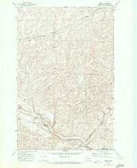
 1969 Creston Butte1972 Print · USGSLincoln County was a landscape of remote schoolhouses and scattered springs in the late sixties. Trace the locations of Swanson Sch, the Burlington Northern tracks, and family-named landmarks like Blenz Spring and Baring Lake.
Showing maps 1-25 of 33
Top cities of Lincoln County
- Davenport historical maps
- Odessa historical maps
- Wilbur historical maps
- Reardan historical maps
- Sprague historical maps
- Harrington historical maps
See more
Frequently asked questions
- What are the different types of historical maps available for Lincoln County?
- What is the oldest map of Lincoln County?
- Where can I purchase historical maps of Lincoln County for my home or office?
- Where can I download high-res historical maps of Lincoln County?
- Are there historical topographic maps available for Lincoln County?
- Is there historical aerial imagery available for Lincoln County?
- Where are historical maps of Lincoln County sourced from?