2020s Maps of Lincoln County, Washington
Explore 114 historic maps of Lincoln County from the 2020s. These maps offer a rare glimpse into what life looked like during the 2020s — showing old roads, neighborhoods, homes, and landmarks that have changed or disappeared over time.
Whether you're researching your family's past, planning a metal detecting trip, or studying how Lincoln County's landscape evolved across the 2020s, these high-resolution maps are a powerful tool for exploring the history of this region.
- Focus on a specific era: All maps on this page are from the 2020s, giving you a focused view of this time period.
- See what’s changed: Compare century-old streets, trails, and buildings to today's modern landscape using overlays and satellite layers.
- Research with precision: Use these maps for genealogy, historical research, land use analysis, or educational projects.
- View, download, or print: Maps are fully viewable online in high resolution, and can be downloaded or printed for your own records.
Start exploring Lincoln County's history through authentic maps from the 2020s. This is your window into the past.
Lincoln County, WA maps
(114)- 2020 Map of Fort Spokane, 2020 Print
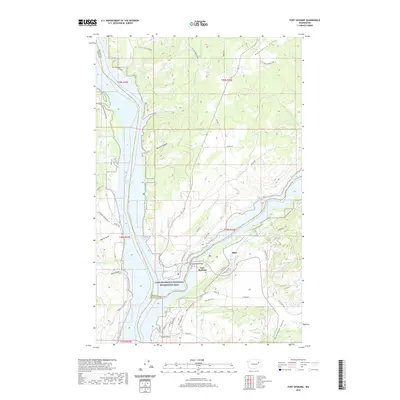 2020 Fort Spokane2020 Print · USGSThe confluence of the Columbia and Spokane rivers is documented here in the early twenty-first century, highlighting a landscape shaped by water and high plateau. Researchers can trace the layout of Fort Spokane, the small settlement of Miles, and landmarks like Miller Mountain and Swede Flats.
 - 2020 Map of Bluestem, 2020 Print
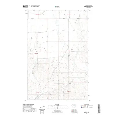 2020 Bluestem2020 Print · USGSLincoln County farmland is captured in this survey of the area around Bluestem. Researchers can trace old family road names like Star Barn Rd N and Old White Stone Rd, or locate landmarks like Hanes Airport and Tanner Lake.
 - 2020 Map of Olsen Canyon, 2020 Print
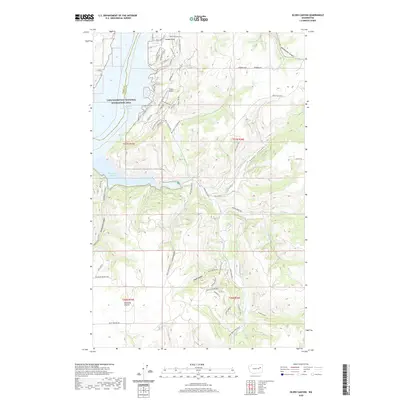 2020 Olsen Canyon2020 Print · USGSLincoln County’s rugged canyonlands meet the Columbia River in the late twenty-teens, showing the intersection of ranching lands and recreational shoreline. Trace local landmarks from 7 Bays Airport and Hawk Creek Harbor to the high grounds of Bachelor Prairie.
 - 2020 Map of Rocklyn, 2020 Print
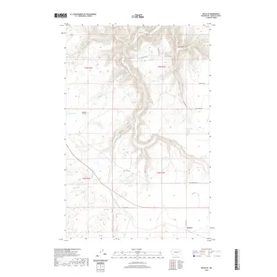 2020 Rocklyn2020 Print · USGSRocklyn and the surrounding Lincoln County ranchlands are documented here in recent detail, showing a landscape defined by coulees and prairie. Researchers can trace the path of Hawk Cr through Stock Canyon or locate Mosquito Spring and Rock Lake.
 - 2020 Map of Almira SE, 2020 Print
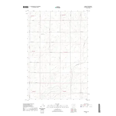 2020 Almira SE2020 Print · USGSLincoln County farmland is documented here in the modern era, showing the enduring grid of family-named roads and remote farmsteads. Researchers can locate the Tolonen Cem and trace the drainage of Canniwai Cr into Carpenter Lake.
 - 2020 Map of Benjamin Lake, 2020 Print
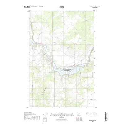 2020 Benjamin Lake2020 Print · USGSThe northern reaches of the Spokane River appear here in the modern era, where the Lake Roosevelt National Recreation Area meets the rugged highlands. Trace local history through the canyons and ridges, from Mill Canyon to the heights of Cayuse Mtn.
 - 2020 Map of Harrington, 2020 Print
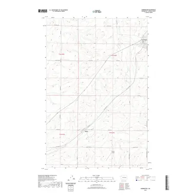 2020 Harrington2020 Print · USGSEastern Washington agricultural lands near Harrington are shown here in the early twenty-first century, revealing a landscape of coulees and rural ranching. Genealogists and historians can trace family properties along Buddhrius Farms Rd and locate the settlement of Mohler.
 - 2020 Map of Harrington SE, 2020 Print
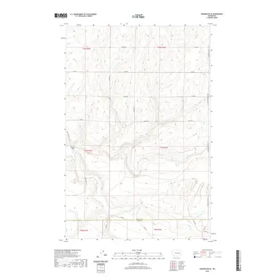 2020 Harrington SE2020 Print · USGSThe rural borderlands between Lincoln and Adams counties are captured in this contemporary survey of the Washington wheat country. Researchers can trace land ownership and infrastructure via Rocky Ford Bridge and roads like Manke Rd and Klein Rd.
 - 2020 Map of Swanson Lakes, 2020 Print
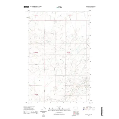 2020 Swanson Lakes2020 Print · USGSThe high plateau of Lincoln County is shown here in the early twenty-first century, featuring a landscape of scattered lakes and rural roads. Genealogists and researchers can trace local landholdings along Seven Springs Dairy Rd or locate water features like Rock Lake and Willow Lake.
 - 2020 Map of Sprague Lake, 2020 Print
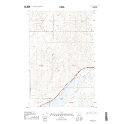 2020 Sprague Lake2020 Print · USGSSprague Lake and the settlement of Pifer appear in the 2020s at the junction of Lincoln and Adams counties. Local history researchers can trace family-named routes like Max Harder Rd and Bob Lee Rd alongside Eastman Pond and Clear Lake.
 - 2020 Map of Broadax Draw, 2020 Print
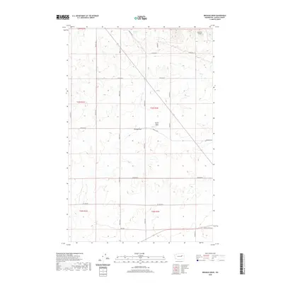 2020 Broadax Draw2020 Print · USGSThe dry plateaus north of Wilbur are captured here in the modern era, showing the enduring grid of Washington's wheat country. Researchers can trace land use through features like Sheffels Ranch Airport and family-named roads like Hesseltine Rd and Bodeau Rd N.
 - 2020 Map of Lords Valley, 2020 Print
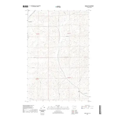 2020 Lords Valley2020 Print · USGSHarrington and the surrounding wheat country are captured in this recent survey of Lincoln County. Researchers can trace land ownership patterns through family-named thoroughfares like Talkington Rd, Platter Rd N, and the course of Lords Cr.
 - 2020 Map of Rocklyn SW, 2020 Print
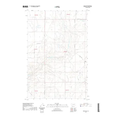 2020 Rocklyn SW2020 Print · USGSLincoln County rangeland and isolated lakes are captured in this recent survey of the Washington interior. Genealogists and local researchers can trace the rural road network and water sources like Earl, Florence Lake, and Seven Springs.
 - 2020 Map of Irby, 2020 Print
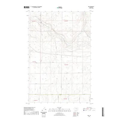 2020 Irby2020 Print · USGSThe rural landscape around Irby is documented here as it appeared in the early 2020s, dominated by the coulees and scablands of the Big Bend. Local researchers can trace property access and field boundaries via Bates Rd E, Fink Rd, and Old Hwy Lp.
 - 2020 Map of Jack Woods Butte, 2020 Print
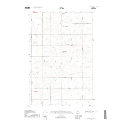 2020 Jack Woods Butte2020 Print · USGSLincoln County and Grant County intersect on this modern survey of Washington's plateau country. Researchers can trace land ties and local history via the Lafollette Cem, the lone landmark of Bagdad Junction, and family routes like Starkel Rd.
 - 2020 Map of Almira SW, 2020 Print
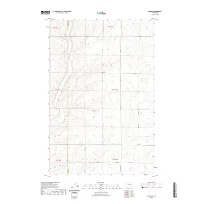 2020 Almira SW2020 Print · USGSGrant and Lincoln counties are shown here in the 2020s, highlighting a high-plateau landscape defined by rural agriculture and the Wilson Cr drainage. Researchers can trace land-ownership history through family-named routes like Buddrus Rd N, Kiner Rd, and Peha Rd.
 - 2020 Map of McCoy Lake, 2020 Print
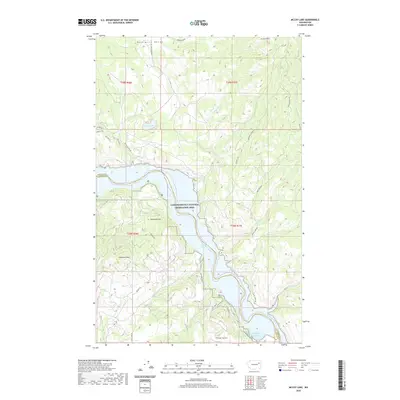 2020 McCoy Lake2020 Print · USGSThe Spokane River transitions into the vast reservoir of the Lake Roosevelt National Recreation Area during the early twenty-first century. Researchers can trace land access via Orazada Mine Rd and locate landmarks like McCoy Lake and Lilienthal Mtn.
 - 2020 Map of Whitestone Rock, 2020 Print
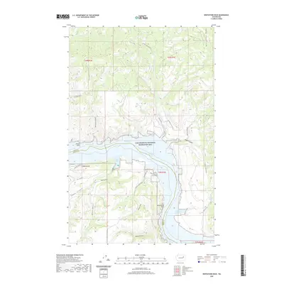 2020 Whitestone Rock2020 Print · USGSThe Columbia River corridor north of Wilbur is documented here in the modern era, showing where the water separates Lincoln and Ferry counties. Trace the rugged canyon geography of Hellgate Island and the namesake Whitestone Rock along the shores of Franklin D Roosevelt Lake.
 - 2020 Map of Mica Mountain, 2020 Print
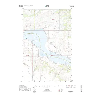 2020 Mica Mountain2020 Print · USGSThe Okanogan and Lincoln county borderlands meet at the turn of the twenty-first century along the expansive Franklin D Roosevelt Lake. Local historians can trace the rugged topography of Swawilla Basin or locate landmarks like Mica Mtn and Plum Point.
 - 2020 Map of Grand Coulee Dam, 2020 Print
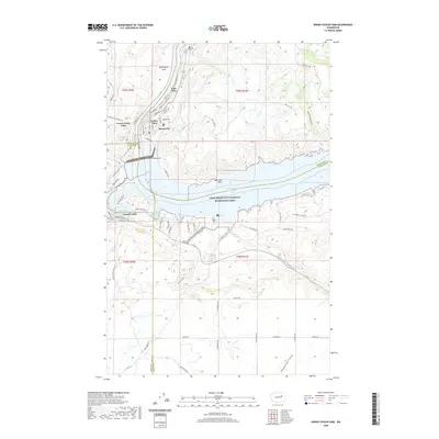 2020 Grand Coulee Dam2020 Print · USGSThe Columbia River basin near the Columbia Plateau is shown here after decades of transformation following the dam's completion. Researchers can trace the developed waterfronts of Grand Coulee and Mason City or explore terrain features like Washington Flats and Seaton Canyon.
 - 2020 Map of Almira, 2020 Print
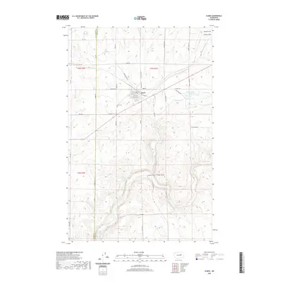 2020 Almira2020 Print · USGSThe rural landscape of Lincoln County remains defined by the settlement at Almira and the agricultural roads that span the plateau. Family historians can trace local landmarks from Almira Cem to the distinctive waters of Slaughterhouse Lake and Wilson Creek Falls.
 - 2020 Map of Pacific Lake, 2020 Print
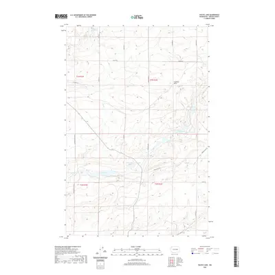 2020 Pacific Lake2020 Print · USGSLincoln County's basalt-scoured plateau is captured here in the modern era, showing a landscape defined by glacial flood remnants. Researchers can trace the water levels of Pacific Lake and Browns Lake, or locate landmarks like Coffeepot Butte and Eagle Spring Lake.
 - 2020 Map of Sylvan Lake, 2020 Print
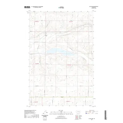 2020 Sylvan Lake2020 Print · USGSLincoln County and the northern edge of Adams County are shown here in the 2020s, centered on the waters of Sylvan Lake. Researchers can trace local heritage along family-named routes like Heimbigner Rd E, King Ranch Rd E, and the small settlement of Nemo.
 - 2020 Map of Sprague Lake SW, 2020 Print
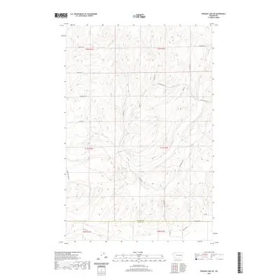 2020 Sprague Lake SW2020 Print · USGSEastern Washington's wheat country comes into focus here in the years following the turn of the millennium. Local historians can trace the paths of long-standing rural routes like Harrington-Tokio Rd and the seasonal flows of Crab Creek and S Fork Crab Cr.
 - 2020 Map of Marlin SW, 2020 Print
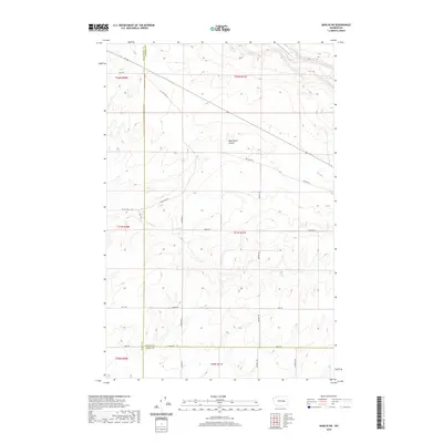 2020 Marlin SW2020 Print · USGSEastern Washington farmland and high desert terrain are mapped in the 2020s at the intersection of three counties. Trace rural infrastructure and land boundaries along Black Rock Coulee, Old Hwy Lp, and Graedel Rd.
Showing maps 1-25 of 114
Top cities of Lincoln County
- Davenport historical maps
- Odessa historical maps
- Wilbur historical maps
- Reardan historical maps
- Sprague historical maps
- Harrington historical maps
See more
Frequently asked questions
- What are the different types of historical maps available for Lincoln County?
- What is the oldest map of Lincoln County?
- Where can I purchase historical maps of Lincoln County for my home or office?
- Where can I download high-res historical maps of Lincoln County?
- Are there historical topographic maps available for Lincoln County?
- Is there historical aerial imagery available for Lincoln County?
- Where are historical maps of Lincoln County sourced from?