2010s Maps of Lincoln County, Washington
Explore 171 historic maps of Lincoln County from the 2010s. These maps offer a rare glimpse into what life looked like during the 2010s — showing old roads, neighborhoods, homes, and landmarks that have changed or disappeared over time.
Whether you're researching your family's past, planning a metal detecting trip, or studying how Lincoln County's landscape evolved across the 2010s, these high-resolution maps are a powerful tool for exploring the history of this region.
- Focus on a specific era: All maps on this page are from the 2010s, giving you a focused view of this time period.
- See what’s changed: Compare century-old streets, trails, and buildings to today's modern landscape using overlays and satellite layers.
- Research with precision: Use these maps for genealogy, historical research, land use analysis, or educational projects.
- View, download, or print: Maps are fully viewable online in high resolution, and can be downloaded or printed for your own records.
Start exploring Lincoln County's history through authentic maps from the 2010s. This is your window into the past.
Lincoln County, WA maps
(171)- 2011 Map of Davenport, 2011 Print
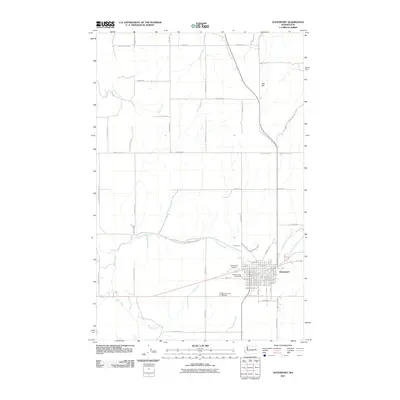 2011 Davenport2011 Print · USGSDavenport is shown here at the heart of Lincoln County's agricultural plateau in the early twenty-first century. Researchers can trace landownership patterns via family-named roads and locate key community sites like Mountain View Cemetery, the Lincoln County Fairgrounds, and Davenport Airport.
 - 2011 Map of Creston, 2011 Print
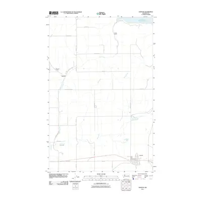 2011 Creston2011 Print · USGSCreston and the settlement of Sherman are captured here during the early twenty-first century, showing the local road network above the Columbia River. Researchers can trace land use near Franklin D Roosevelt Lake or locate sites along Goose Creek and Hansen Dam.
 - 2011 Map of Johnny George Mountain, 2011 Print
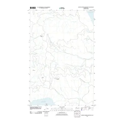 2011 Johnny George Mountain2011 Print · USGSThe Stevens County interior and the Colville Indian Reservation are shown here as they appeared in 2011. Researchers can trace the high ridges of Johnny George Mountain and locate isolated landmarks like Bear Spring and Sterling Point.
 - 2011 Map of Coffeepot Lake, 2011 Print
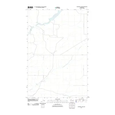 2011 Coffeepot Lake2011 Print · USGSLincoln County in the early twenty-first century remains a landscape of quiet rural roads and basalt-carved water features. Genealogists and local historians can trace family land access along Huddle Corner Rd N and Carlson Rd near the shores of Coffeepot Lake.
 - 2011 Map of Sprague Lake SW, 2011 Print
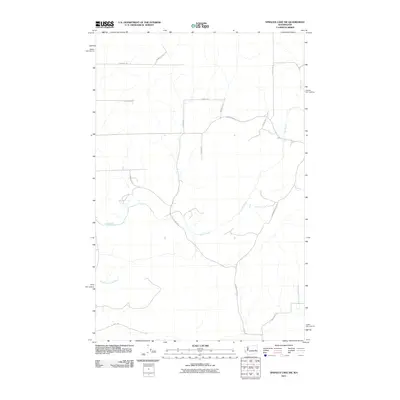 2011 Sprague Lake SW2011 Print · USGSAdams County land use and water drainage are clearly defined in this early 21st-century survey of the high desert. Researchers can trace the path of Crab Creek and find local family-named routes such as Doerschlag Rd E and Barbre Rd.
 - 2011 Map of Rocklyn SE, 2011 Print
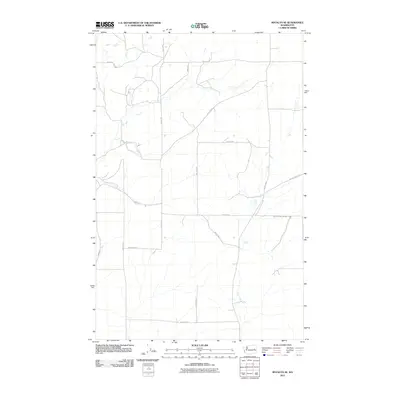 2011 Rocklyn SE2011 Print · USGSLincoln County at the start of the 2010s reveals a quiet landscape of agricultural homesteads and rural road networks. Researchers can trace landownership patterns and local travel routes along Whitaker Lake Rd E, Kupers Rd N, and Harrington Airport Rd E.
 - 2011 Map of Benjamin Lake, 2011 Print
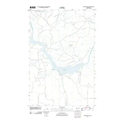 2011 Benjamin Lake2011 Print · USGSStevens County and the Spokane Indian Reservation are shown in the early twenty-first century, centered on the complex shoreline of the Spokane River Arm. Researchers can trace the proximity of industrial sites like the Sherwood Mine to landmarks such as Cayuse Mountain and Benjamin Lake.
 - 2011 Map of Harrington, 2011 Print
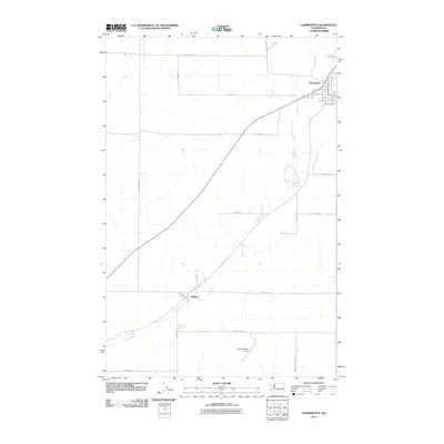 2011 Harrington2011 Print · USGSHarrington and the surrounding wheat country of Lincoln County are captured here in the early twenty-first century. Researchers can trace family-named routes and ranching infrastructure like Buddrius Farms Rd N, Mohler, and the Kramer Ranch Airport.
 - 2011 Map of Pacific Lake, 2011 Print
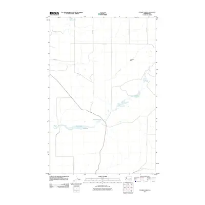 2011 Pacific Lake2011 Print · USGSIn the early twenty-first century, this Lincoln County landscape remains a mosaic of scabland hydrology and ranching roads. Trace the shores of Pacific Lake and Walter Lake, or locate family-named landmarks like Coffeepot Butte and Wederspahn Lake.
 - 2011 Map of Creston Butte, 2011 Print
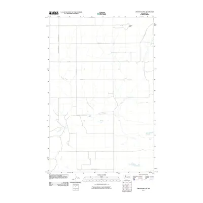 2011 Creston Butte2011 Print · USGSLincoln County in the early twenty-first century remains a landscape of high-desert ranching and scattered water sources. Researchers can trace rural landmarks and family-named routes like Swanson School Rd E and find water features like Baring Lake and Marquette Spring.
 - 2011 Map of Waukon, 2011 Print
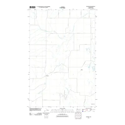 2011 Waukon2011 Print · USGSWaukon and the surrounding Lincoln County plains are documented here in the early twenty-first century. Genealogists and local historians can trace family land ties across Tucker Prairie and Malloy Prairie or locate landmarks like Willon Springs and Lonelyville Lake.
 - 2011 Map of Wilbur, 2011 Print
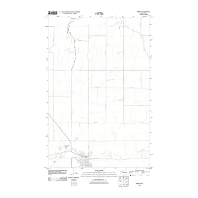 2011 Wilbur2011 Print · USGSWilbur and the surrounding Lincoln County highlands are shown here in the early twenty-first century, featuring the transition from town streets to vast wheat country. Researchers can trace local landmarks and family road names from Wilbur Airport to Speigle Canyon and Bandys Lake.
 - 2011 Map of Sylvan Lake, 2011 Print
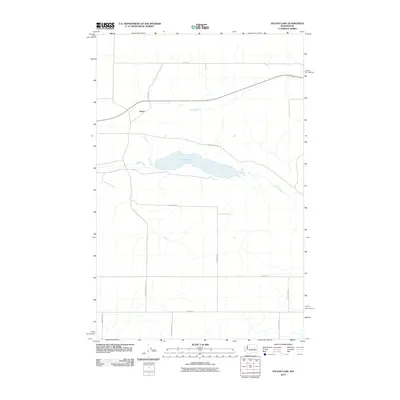 2011 Sylvan Lake2011 Print · USGSLincoln County’s high desert plateau is documented here in the early twenty-first century, centered on the waters of Sylvan Lake. Genealogists and local historians can trace family landholdings via rural routes like Laney Bros Rd E and Schoonover Rd N near Nemo.
 - 2011 Map of Harrington SE, 2011 Print
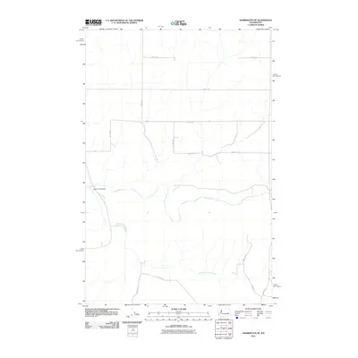 2011 Harrington SE2011 Print · USGSAdams County’s agricultural landscape is documented here in the early 2010s, showcasing the intersection of water and land. Researchers can trace the path of Crab Creek past local landmarks like the Rocky Ford Bridge and family-named routes such as Schuh Rd E.
 - 2011 Map of Broadax Draw, 2011 Print
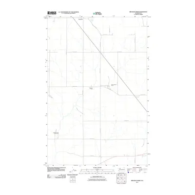 2011 Broadax Draw2011 Print · USGSLincoln County ranching and aviation come into focus in this early twenty-first-century survey of the high plateau. Researchers can trace land-use patterns around Hesseltine and locate private airfields like the Sheffels Ranch Airport near Broadax Draw.
 - 2011 Map of Whitestone Rock, 2011 Print
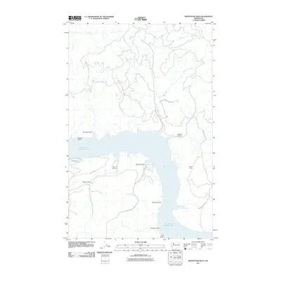 2011 Whitestone Rock2011 Print · USGSThe eastern Washington shoreline along Franklin D Roosevelt Lake is captured here in the early 21st century. Researchers can trace the boundaries of the Colville Indian Reservation and locate local landmarks like Whitestone Rock and Hellgate Island.
 - 2011 Map of Sprague Lake, 2011 Print
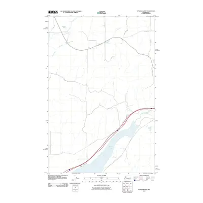 2011 Sprague Lake2011 Print · USGSIn the early twenty-first century, this region south of the town of Sprague showcases a landscape shaped by the Scablands' hydrology. Researchers can trace rural property lines and water features such as Pifer, Sprague Lake, and Eastman Pond.
 - 2011 Map of Wagner Lake, 2011 Print
 2011 Wagner Lake2011 Print · USGSLincoln County’s agricultural landscape is captured here in the early twenty-first century, showing the intersection of family-held farms and vital water sources. Genealogists can trace family names along Smith Prather Rd or locate the Wheat Ridge Cemetery near Wagner Lake.
 - 2011 Map of Jack Woods Butte, 2011 Print
 2011 Jack Woods Butte2011 Print · USGSLincoln County’s high-plateau farm country is mapped here in the early twenty-first century, showing a landscape defined by dryland wheat farming and deep basalt draws. Genealogists can trace family holdings along Lafollette Rd N or locate the Lafollette Cemetery and Grand Coulee Grange.
 - 2011 Map of Swanson Lakes, 2011 Print
 2011 Swanson Lakes2011 Print · USGSLincoln County at the turn of the 21st century reveals a landscape shaped by water and isolated ranching roads. Researchers can trace historical routes like 7 Springs Dairy Rd and locate landmarks such as the Rock Cut Bridge and Rock Lake Dam.
 - 2011 Map of Sassin, 2011 Print
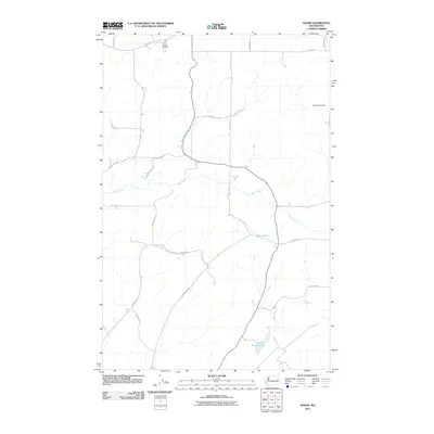 2011 Sassin2011 Print · USGSLincoln County’s rural landscape is captured here in the early twenty-first century, showing a region deeply shaped by its agricultural heritage and water sources. Researchers can locate family landmarks like Edwall Cemetery and trace the paths of Rock Creek and Sassin Station Rd N.
 - 2011 Map of Almira SW, 2011 Print
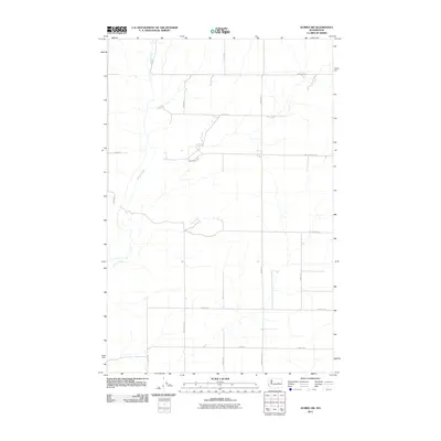 2011 Almira SW2011 Print · USGSGrant County is shown as a sprawling agricultural grid during the early twenty-first century, where water and road networks dictate the landscape. Genealogists and historians can trace family-named routes such as Peha Rd E and Christensen Rd that intersect near Wilson Creek.
 - 2011 Map of Tyler, 2011 Print
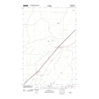 2011 Tyler2011 Print · USGSSpokane County's high plateau at the start of the 2010s reveals a mix of modern infrastructure and traditional ranching landscape. Trace the local geography through Rockdale Cemetery, the settlement of Tyler, and the water systems of Hog Lake and Ames Lake.
 - 2011 Map of McCoy Lake, 2011 Print
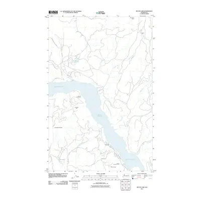 2011 McCoy Lake2011 Print · USGSThe Spokane River transitions through the heart of Stevens County on the Spokane Indian Reservation during the early 2010s. Researchers can trace the region's mining heritage at the Orazada Mine or locate recreation sites like Detillion Campground and McCoy Lake.
 - 2011 Map of Omans, 2011 Print
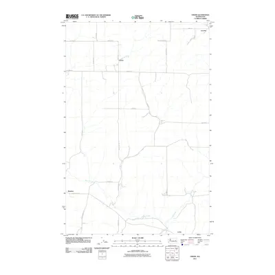 2011 Omans2011 Print · USGSThe eastern Washington wheat country is documented here in the early twenty-first century, showing the enduring rural layout of Lincoln County. Local historians can trace family land via roads like Boyk Rd N and landmarks such as Bluestem and the Safety Pin Ranch.
Showing maps 1-25 of 171
Top cities of Lincoln County
- Davenport historical maps
- Odessa historical maps
- Wilbur historical maps
- Reardan historical maps
- Sprague historical maps
- Harrington historical maps
See more
Frequently asked questions
- What are the different types of historical maps available for Lincoln County?
- What is the oldest map of Lincoln County?
- Where can I purchase historical maps of Lincoln County for my home or office?
- Where can I download high-res historical maps of Lincoln County?
- Are there historical topographic maps available for Lincoln County?
- Is there historical aerial imagery available for Lincoln County?
- Where are historical maps of Lincoln County sourced from?