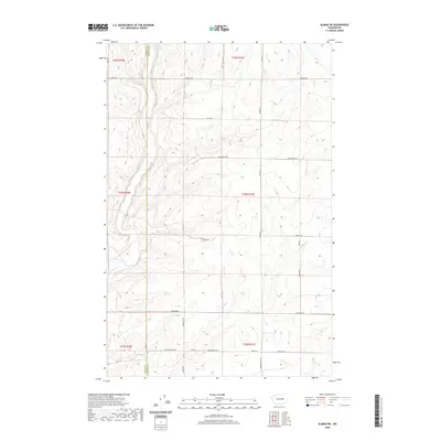
2020 Map of Almira SW
USGS Topo · Published 2020About this map
Wilson Cr carves a path through the transition between Grant and Lincoln counties in this 2020 topographic landscape. The map reveals an area defined by a rigorous grid of section lines and gravel roads, reflecting the persistent geometry of the Public Land Survey System. Named routes like Monson Rd, Christensen Rd, and Peha Rd connect the high plateaus and draws that characterize the region's agricultural layout.
Find a feature on this map
27 named features on this map. Tap any name to fly to it.
Don’t see what you’re looking for? This feature index may not catch every label — zoom into the map to look around manually.
Map Details
Editions of this 2020 Almira SW Map
This is the sole edition of this map. No revisions or reprints were ever made.
Other maps of this area

1953 · Ritzville
USGS Topo · 1:250,000

1956 · Wilson Creek
USGS Topo · 1:62,500

1959 · Ritzville
USGS Topo · 1:250,000

1965 · Ritzville
USGS Topo · 1:250,000

1968 · Hartline
USGS Topo · 1:24,000

1968 · Marlin
USGS Topo · 1:24,000

1968 · Hartline SE
USGS Topo · 1:24,000

1968 · Sullivan Lake
USGS Topo · 1:24,000

1969 · Almira
USGS Topo · 1:24,000

1969 · Almira SE
USGS Topo · 1:24,000