Old Maps of Woods Creek, Washington for Genealogy
Trace your family roots with 33 historic maps of Woods Creek. These high-res maps reveal old neighborhoods, homesites, landmarks, and streets — helping you uncover where your ancestors lived and how the area evolved over time.
- Explore historic neighborhoods: Identify where your relatives may have lived in the 1800s or 1900s.
- Compare maps over time: Trace the changes in streets, buildings, and landmarks for multi-generational research.
- Perfect for genealogy & ancestry research: Used by family historians and researchers to map out lineage and migration.
These maps are an incredible resource for exploring your personal connection to Woods Creek's past.
Woods Creek, WA maps
(33)- 1921 Map of Sultan
 1921 Sultan1921 Print · USGSThe Snoqualmie and Skykomish river valleys are defined by timber and rail in the 1920s. Researchers can trace early industry through the Apex Mines, Coke Ovens, and rural schools like Mountain View School.4 unique versions available
 - 1923 Map of Sultan
 1923 Sultan1923 Print · USGSThe Skykomish and Snoqualmie river valleys thrive in the early twenties as centers of timber and rail. Genealogists can trace family roots through rural sites like Forest Glade School or follow the Lumber RR lines to the Apex Mines.4 unique versions available
 - 1953 Map of Sultan, 1955 Print
 1953 Sultan1955 Print · USGSThe river-and-rail corridor of the Skykomish Valley is captured here in the early fifties, centering on the town of Sultan. Researchers can trace the Great Northern line and discover upland features like Drunken Charlie Lake and the Old Railroad Grade.4 unique versions available
 - 1953 Map of Monroe, 1955 Print
 1953 Monroe1955 Print · USGSMonroe and the fertile Skykomish River valley are seen here in the early fifties during a period of industrial and institutional growth. Researchers can trace the Milwaukee Road rail lines or locate landmarks like the State Reformatory and the Evergreen State Fairgrounds.4 unique versions available
 - 1956 Map of Monroe, 1958 Print
 1956 Monroe1958 Print · USGSSnohomish County in the mid-fifties shows a landscape of river-valley agriculture and upland timber. Trace the Great Northern rail lines through Monroe and Sultan, or locate rural landmarks like Wagner Sch and the State Reformatory.2 unique versions available
 - 1957 Map of Wenatchee, 1973 Print
 1957 Wenatchee1973 Print · USGSThe northern Cascades and Columbia River valley appear here in the mid-fifties, showing the region's critical rail and transit corridors. Researchers can trace the routes of the Great Northern RR and Milwaukee Road through settlements like Skykomish, Baring, and Dryden.2 unique versions available
 - 1975 Map of Skykomish River, 1977 Print
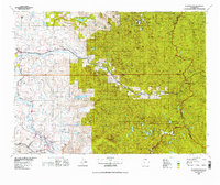 1975 Skykomish River1977 Print · USGSThe Cascades meet the river valleys in the mid-seventies, showing the vital rail corridors and mountain towns along the Skykomish River. Researchers can trace the path of the Pacific Crest National Scenic Trail and locate historic sites like State Reformatory Farm No 2 and the Old Cascade Tunnel.2 unique versions available
 - 1989 Map of Lake Chaplain
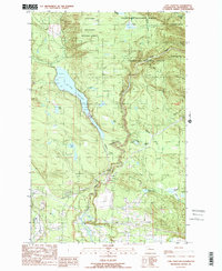 1989 Lake Chaplain1989 Print · USGSSnohomish County water systems and forests are captured here in the late eighties, featuring the critical Lake Chaplain reservoir. Trace local industrial footprints through the Powerhouse, the Quarry, and an extensive Aqueduct network.
 - 1989 Map of Lake Roesiger
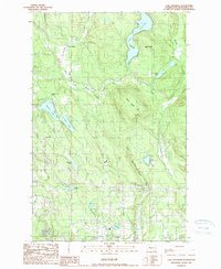 1989 Lake Roesiger1989 Print · USGSSnohomish County’s lake country is captured here in the late eighties, showing a landscape of timbered hills and burgeoning rural settlements. Genealogists and hikers can trace old property lines near Forest Glade, explore the shores of Lake Roesiger, or locate the Sub Station near Wagner.
 - 1993 Map of Monroe
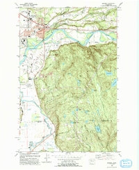 1993 Monroe1993 Print · USGSThe Skykomish and Snoqualmie valleys meet here in the early nineties, showing a region defined by river-borne transit and state institutions. Trace family history at the IOOF Cem, or locate the State Reformatory and the Evergreen State Fairground.
 - 1993 Map of Sultan
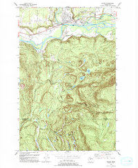 1993 Sultan1993 Print · USGSSultan sits at the confluence of two major rivers in the early nineties, where timber history meets a growing valley community. Trace the remnants of the Old Railroad Grade or locate high-country landmarks like Drunken Charlie Lake and Lake Elsie.
 - 1997 Map of Sultan, 2003 Print
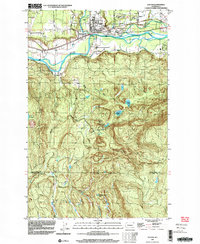 1997 Sultan2003 Print · USGSThe confluence of the Skykomish and Sultan rivers defines this late-century landscape, showing the town of Sultan as it transitioned from a timber hub to a growing residential community. Researchers can trace historic industrial footprints and local landmarks like the Cemetery, the Old Railroad Grade, and Drunken Charlie Lake.
 - 1997 Map of Lake Roesiger, 2003 Print
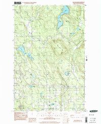 1997 Lake Roesiger2003 Print · USGSSnohomish County in the late nineties is a landscape of lakeside parks and timbered hills. Researchers can trace the development of Lake Roesiger and find old settlements like Forest Glade and Wagner alongside Three Lakes Hill.
 - 2011 Map of Lake Chaplain, 2011 Print
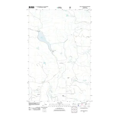 2011 Lake Chaplain2011 Print · USGSSnohomish County is captured here in the early twenty-first century, showcasing the vital water infrastructure surrounding Lake Chaplain. Researchers can trace the path of the Sultan River, locate the Everett Water Work Intake, and explore the settlement of North Sultan.
 - 2011 Map of Sultan, 2011 Print
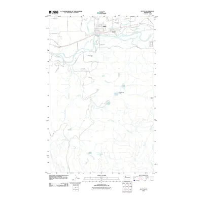 2011 Sultan2011 Print · USGSThe community of Sultan is captured here just after the turn of the millennium, where the river valleys meet the rising mountain foothills. Researchers can trace the layout of local neighborhoods and find landmarks like Sky Harbor Airport, the Sultan Mill Pond, and Haystack Lookout.
 - 2011 Map of Lake Roesiger, 2011 Print
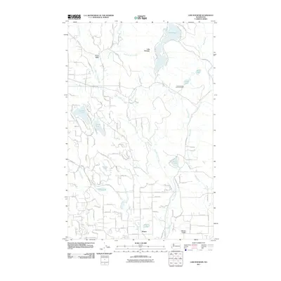 2011 Lake Roesiger2011 Print · USGSSnohomish County is captured here in the early twenty-first century, showing a landscape defined by its numerous glacial lakes and rural settlements. Researchers can trace the boundaries of the Chief Seattle Boy Scout Reservation or locate homesites near Lake Roesiger and Lake Cochran.
 - 2011 Map of Monroe, 2011 Print
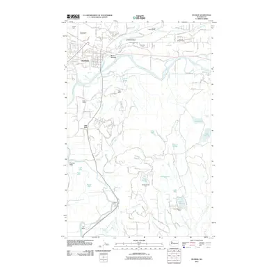 2011 Monroe2011 Print · USGSThe river valleys of Snohomish County are captured here in the early 2000s, showing the intersection of suburban growth and traditional agricultural lands. Researchers can trace local heritage through sites like the Independent Order of Odd Fellows Cemetery or the rural reaches of Cherry Valley and Pearson Eddy.
 - 2014 Map of Monroe, 2014 Print
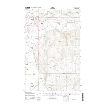 2014 Monroe2014 Print · USGSMonroe and the surrounding river valleys are shown here during a period of sustained agricultural and suburban growth. Genealogists can locate named homesteads and dairy farms like Werkhoven Dairy or trace ancestors at the Independent Order of Odd Fellows Cem.
 - 2014 Map of Lake Chaplain, 2014 Print
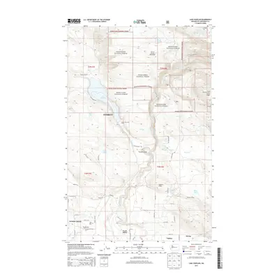 2014 Lake Chaplain2014 Print · USGSThe Sultan River valley in Snohomish County is captured here in the early twenty-first century, showing the critical infrastructure of the City of Everett Watershed. Researchers can locate the Blue Mountain Lookout, the grounds of Rain Spirit Farm, and the distinct paths of Monroe Camp Rd.
 - 2014 Map of Lake Roesiger, 2014 Print
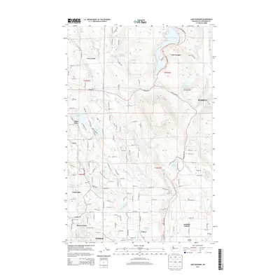 2014 Lake Roesiger2014 Print · USGSSnohomish County’s lake country is captured here in the early twenty-first century as rural communities and scout camps thrived among the glacial hills. Trace the development of Forest Glade and Three Lakes, or locate family properties like Bughollow Farm and the Swinging R Ranch.
 - 2014 Map of Sultan, 2014 Print
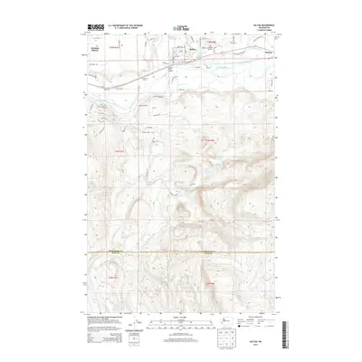 2014 Sultan2014 Print · USGSThe Sultan River valley and the Snohomish-King county line come into focus during the early twenty-first century. Local historians can trace the footprints of Hofstra Dairy, the Sultan Mill Pond, and the Sultan River Bridge.
 - 2017 Map of Sultan, 2017 Print
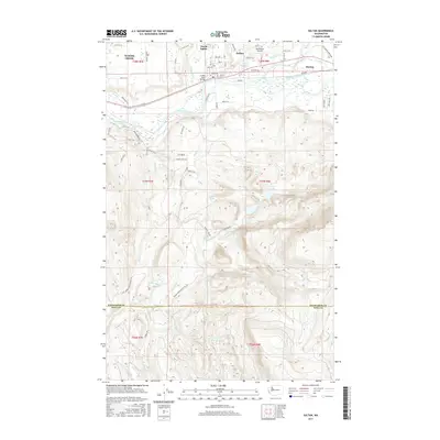 2017 Sultan2017 Print · USGSThe confluence of the Skykomish and Wallace Rivers defines this Washington river valley in the 2010s. Researchers can trace the layout of Sultan and Startup or locate remote high-altitude features like Drunken Charlie Lake and Lake Dorothy.
 - 2017 Map of Monroe, 2017 Print
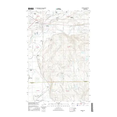 2017 Monroe2017 Print · USGSThe confluence region of the Skykomish and Snoqualmie rivers comes into focus in the late 2010s, showing the developed valley around Monroe and Duvall. Researchers can locate the Independent Order of Odd Fellows Cem, the BNSF Railway corridor, and local landmarks like First Air Field.
 - 2017 Map of Lake Roesiger, 2017 Print
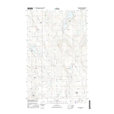 2017 Lake Roesiger2017 Print · USGSThe lakeside communities of Snohomish County are detailed in this recent survey of the varied terrain north of Monroe. Researchers can trace property lines and local landmarks near Lake Roesiger, Forest Glade, and the cluster of water bodies at Three Lakes.
 - 2017 Map of Lake Chaplain, 2017 Print
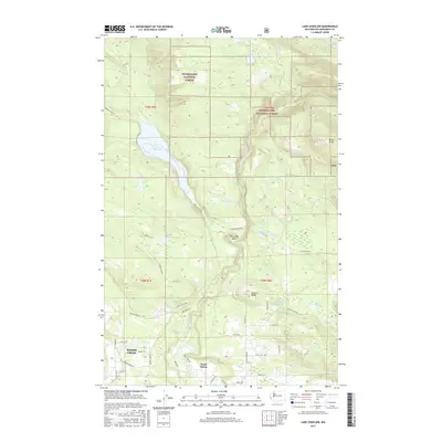 2017 Lake Chaplain2017 Print · USGSThe wooded ridges of Snohomish County are captured here in the late 2010s, showing the intersection of industrial timberlands and residential growth. Genealogists and local historians can trace the outskirts of North Sultan and name-bearing landmarks like Sultan Ridge, Lake Chaplain, and Woods Creek.
Showing maps 1-25 of 33
Top cities near Woods Creek
- Bellevue historical maps
- Everett historical maps
- Redmond historical maps
- Marysville historical maps
- Lake Stevens historical maps
- Cottage Lake historical maps
See more
Frequently asked questions
- What are the different types of historical maps available for Woods Creek?
- What is the oldest map of Woods Creek?
- Where can I purchase historical maps of Woods Creek for my home or office?
- Where can I download high-res historical maps of Woods Creek?
- Are there historical topographic maps available for Woods Creek?
- Is there historical aerial imagery available for Woods Creek?
- Where are historical maps of Woods Creek sourced from?