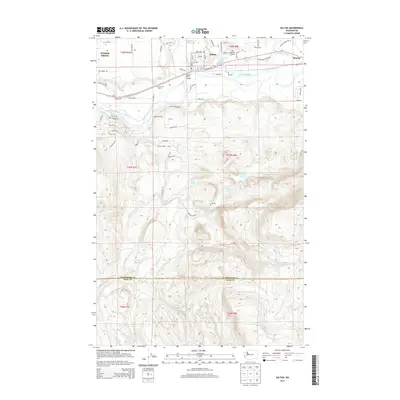
2014 Map of Sultan
USGS Topo · Published 2014About this map
Sultan and Startup sit along the northern corridor of this landscape, where the Sultan River meets the Skykomish River. The transition from the developed river valley to the steep, water-carved uplands is immediate. Early 21st-century land use is evident in the mixture of specialized agricultural sites like Hofstra Dairy, Groeneveld Farms, and Double M Ranch, alongside local infrastructure such as the Sky Harbor Airport and the Sultan Mill Pond.
Find a feature on this map
80 named features on this map. Tap any name to fly to it.
Don’t see what you’re looking for? This feature index may not catch every label — zoom into the map to look around manually.
Map Details
Editions of this 2014 Sultan Map
This is the sole edition of this map. No revisions or reprints were ever made.
Other maps of this area

1921 · Sultan
USGS Topo · 1:125,000

1923 · Sultan
USGS Topo · 1:125,000

1953 · Sultan
USGS Topo · 1:24,000

1953 · Lake Joy
USGS Topo · 1:24,000

1953 · Monroe
USGS Topo · 1:24,000

1953 · Carnation
USGS Topo · 1:24,000

1956 · Monroe
USGS Topo · 1:62,500

1957 · Index
USGS Topo · 1:62,500

1957 · Wenatchee
USGS Topo · 1:250,000

1960 · Mount Si
USGS Topo · 1:62,500