Old Maps of Spangle, Washington for Academic Research
Study the evolution of Spangle with 18 high-resolution historic maps. Whether you're teaching, researching, or modeling changes in land use, these maps provide essential visual documentation of urban, environmental, and geographic change.
- Analyze long-term change: Track patterns in development, transportation, and natural features.
- Ideal for environmental or urban studies: Support academic projects with primary historical map data.
- Use in the classroom or lab: Educators and researchers rely on these maps to bring historical context to life.
These maps are a powerful tool for teaching, research, and visualizing how Spangle has changed over the decades.
Spangle, WA maps
(18)- 1903 Map of Oakesdale
 1903 Oakesdale1903 Print · USGSThe Palouse and South Spokane regions are shown here at the height of the early railroad era. Researchers can trace family history through numerous small grain-stop settlements like Waverly, Latah, and Plaza, or locate family-named landmarks such as Steptoe Butte and Stratton Butte.
 - 1905 Map of Oakesdale
 1905 Oakesdale1905 Print · USGSEastern Washington at the dawn of the twentieth century was a landscape of burgeoning rail hubs and fertile Palouse hills. Genealogists and historians can trace the early layouts of Oakesdale, Tekoa, and Rosalia as they grew alongside the Northern Pacific RR.3 unique versions available
 - 1954 Map of Spangle, 1956 Print
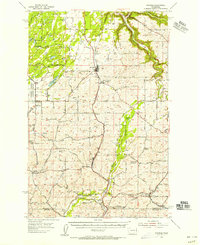 1954 Spangle1956 Print · USGSSoutheast of Spokane in the 1950s, this area reveals a dense network of early Pacific Northwest rail lines and fading rural school districts. Researchers can find grain elevators along the Great Northern and trace defunct sites like Buckeye Sch (Aband).2 unique versions available
 - 1955 Map of Spokane, 1965 Print
 1955 Spokane1965 Print · USGSInland Empire life in the fifties and sixties centers on the growth of Spokane and the heavy mining industry of northern Idaho. Trace mid-century landmarks like Fairchild Air Force Base, the Bunker Hill Mine, and early campuses such as Gonzaga University.2 unique versions available
 - 1958 Map of Spokane
 1958 Spokane1958 Print · USGSThe Inland Empire is shown at a mid-century peak of industrial and military activity, from the rail hubs of Spokane to the deep silver mines of northern Idaho. Researchers can trace the sprawling rail lines of the Union Pacific RR or locate landmarks like Fairchild Air Force Base and the Bunker Hill Smelter & Mine.
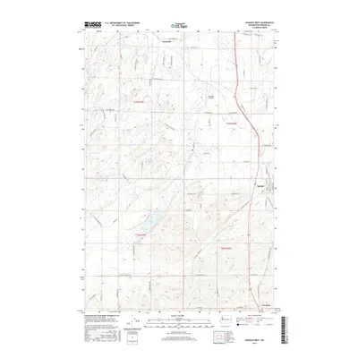
 - 1980 Map of Spangle West
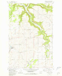
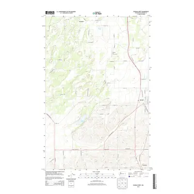
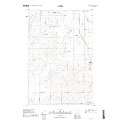
 1980 Spangle West1980 Print · USGSSpokane County's agricultural heartland is captured here in the early eighties as the rail-side community of Spangle continued its role as a local center. Researchers can trace family-named landmarks and old routes like Pine Grove Road, the Cem, and the historic Pine Grove PO.
 - 1981 Map of Spangle East
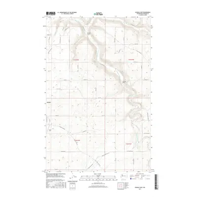
 1981 Spangle East1981 Print · USGSSpokane County's rural landscape is captured here in the early eighties as agricultural and educational hubs like Spangle and the Upper Columbia Academy anchor the region. Researchers can trace family-named routes and landmarks like Kentuck Trails, Rattlers Run Rd, and Liberty High Sch.2 unique versions available
 - 1984 Map of Rosalia
 1984 Rosalia1984 Print · USGSThe Palouse region of Eastern Washington and the Idaho borderlands are shown here in the mid-1980s, a landscape of rolling wheat fields and vital rail corridors. Genealogists and historians can trace the early layout of Cheney, the rail junctions at Rosalia, and the distinct topography of Steptoe Butte.
 - 2011 Map of Spangle East, 2011 Print
 2011 Spangle East2011 Print · USGSCovers Spangle, including Spokane County, United States, and other nearby areas
 - 2011 Map of Spangle West, 2011 Print
 2011 Spangle West2011 Print · USGSCovers Spangle, including Spokane County, United States, and other nearby areas
 - 2014 Map of Spangle West, 2014 Print
 2014 Spangle West2014 Print · USGSCovers Spangle, including Spokane County, United States, and other nearby areas
 - 2014 Map of Spangle East, 2014 Print
 2014 Spangle East2014 Print · USGSCovers Spangle, including Spokane County, United States, and other nearby areas
 - 2017 Map of Spangle West, 2017 Print
 2017 Spangle West2017 Print · USGSCovers Spangle, including Spokane County, United States, and other nearby areas
 - 2017 Map of Spangle East, 2017 Print
 2017 Spangle East2017 Print · USGSCovers Spangle, including Spokane County, United States, and other nearby areas
 - 2020 Map of Spangle West, 2020 Print
 2020 Spangle West2020 Print · USGSCovers Spangle, including Spokane County, United States, and other nearby areas
 - 2020 Map of Spangle East, 2020 Print
 2020 Spangle East2020 Print · USGSCovers Spangle, including Spokane County, United States, and other nearby areas
 - 2023 Map of Spangle West, 2023 Print
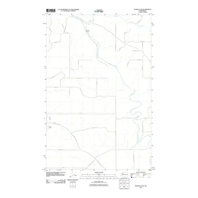
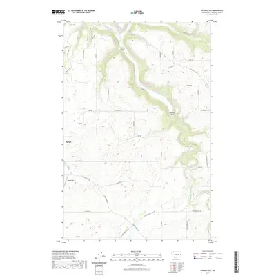
 2023 Spangle West2023 Print · USGSThe rural landscape south of Spokane is captured here in the early twenty-first century, centered on the community of Spangle. Genealogists and researchers can locate Spangle Cem, the waters of Philleo Lake, and local airfields like Paradise Air Ranch.
 - 2023 Map of Spangle East, 2023 Print
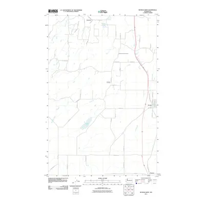
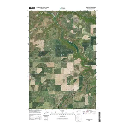
 2023 Spangle East2023 Print · USGSSpokane County's rural landscape comes into focus in this contemporary survey of the area surrounding Spangle. Researchers can trace local landmarks and property access through features like Spangle Field, Hangman Valley, and the winding course of Hangman Creek.
End of results
Showing maps 1-18 of 18
Top cities near Spangle
- Spokane historical maps
- Spokane Valley historical maps
- Cheney historical maps
- Airway Heights historical maps
- Rosalia historical maps
- Fairfield historical maps
See more
Frequently asked questions
- What are the different types of historical maps available for Spangle?
- What is the oldest map of Spangle?
- Where can I purchase historical maps of Spangle for my home or office?
- Where can I download high-res historical maps of Spangle?
- Are there historical topographic maps available for Spangle?
- Is there historical aerial imagery available for Spangle?
- Where are historical maps of Spangle sourced from?