2000s (21st Century) Maps of Randolph County, West Virginia
Explore 150 historic maps of Randolph County from the 2000s (21st Century). These maps offer a rare glimpse into what life looked like during the 2000s — showing old roads, neighborhoods, homes, and landmarks that have changed or disappeared over time.
Whether you're researching your family's past, planning a metal detecting trip, or studying how Randolph County's landscape evolved across the 2000s, these high-resolution maps are a powerful tool for exploring the history of this region.
- Focus on a specific era: All maps on this page are from the 2000s, giving you a focused view of this time period.
- See what’s changed: Compare century-old streets, trails, and buildings to today's modern landscape using overlays and satellite layers.
- Research with precision: Use these maps for genealogy, historical research, land use analysis, or educational projects.
- View, download, or print: Maps are fully viewable online in high resolution, and can be downloaded or printed for your own records.
Start exploring Randolph County's history through authentic maps from the 2000s. This is your window into the past.
Randolph County, WV maps
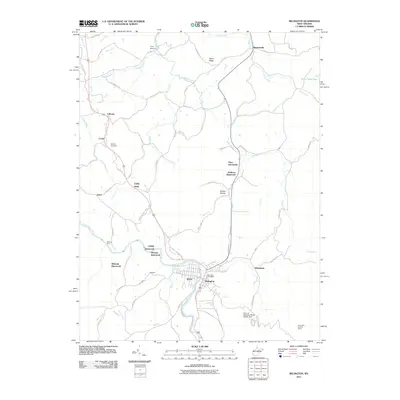
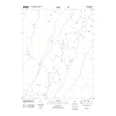
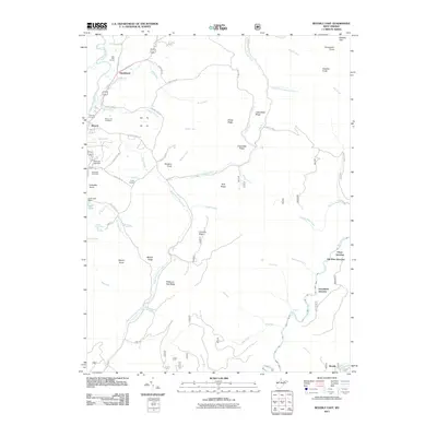
(150)- 2010 Map of Cassity, 2010 Print
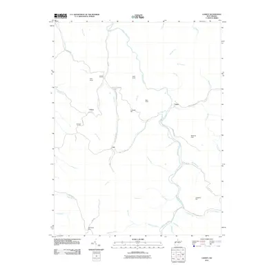 2010 Cassity2010 Print · USGSCovers Randolph County, including See Camp Gap, Loda, and other nearby areas
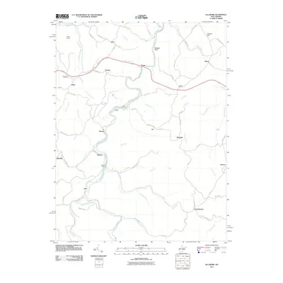
 - 2010 Map of Pickens, 2010 Print
 2010 Pickens2010 Print · USGSCovers Randolph County, including Pickens, Silica, and other nearby areas
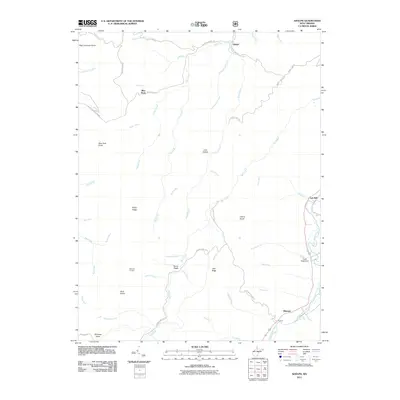
 - 2010 Map of Goshen, 2010 Print
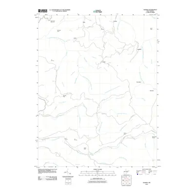 2010 Goshen2010 Print · USGSCovers Randolph County, including Arvondale, Suncrest, and other nearby areas
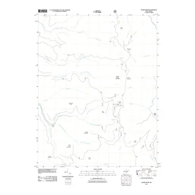
 - 2010 Map of Junior, 2010 Print
 2010 Junior2010 Print · USGSCovers Randolph County, including Junior, Norton, and other nearby areas
 - 2011 Map of Belington, 2011 Print
 2011 Belington2011 Print · USGSCovers Randolph County, including Philippi, Corley, and other nearby areas
 - 2011 Map of Ellamore, 2011 Print
 2011 Ellamore2011 Print · USGSCovers Randolph County, including Loop, Finegan Ford, and other nearby areas
 - 2011 Map of Adolph, 2011 Print
 2011 Adolph2011 Print · USGSCovers Randolph County, including Elkwater, Blue Rock, and other nearby areas
 - 2011 Map of Sharp Knob, 2011 Print
 2011 Sharp Knob2011 Print · USGSCovers Randolph County, including Brush Camp Low Place, Slaty Fork, and other nearby areas
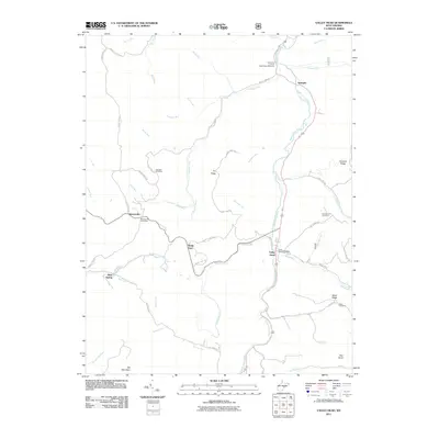
 - 2011 Map of Valley Head, 2011 Print
 2011 Valley Head2011 Print · USGSCovers Randolph County, including Valley Head, Blue Spring, and other nearby areas
 - 2011 Map of Durbin, 2011 Print
 2011 Durbin2011 Print · USGSCovers Randolph County, including Durbin, Nottingham, and other nearby areas
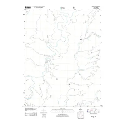
 - 2011 Map of Wildell, 2011 Print
 2011 Wildell2011 Print · USGSCovers Randolph County, including May, Wildell, and other nearby areas
 - 2011 Map of Sinks of Gandy, 2011 Print
 2011 Sinks of Gandy2011 Print · USGSCovers Randolph County, including Osceola, Pendleton County, and other nearby areas
 - 2011 Map of Spruce Knob, 2011 Print
 2011 Spruce Knob2011 Print · USGSCovers Randolph County, including Cherry Grove, Pendleton County, and other nearby areas
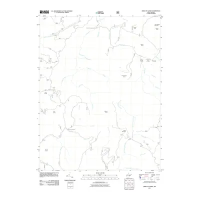
 - 2011 Map of Snyder Knob, 2011 Print
 2011 Snyder Knob2011 Print · USGSCovers Randolph County, including Pocahontas County, United States, and other nearby areas
 - 2011 Map of Cass, 2011 Print
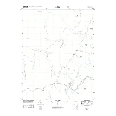 2011 Cass2011 Print · USGSCovers Randolph County, including Wanless, Spruce, and other nearby areas
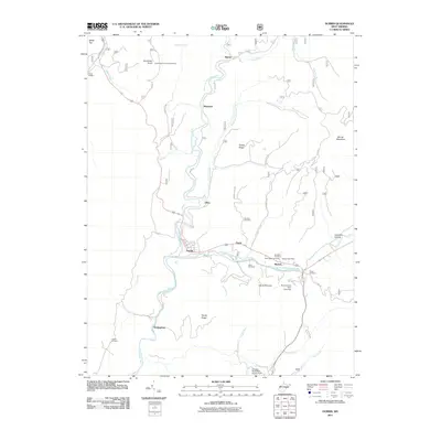
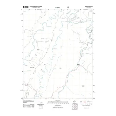
 - 2011 Map of Bowden, 2011 Print
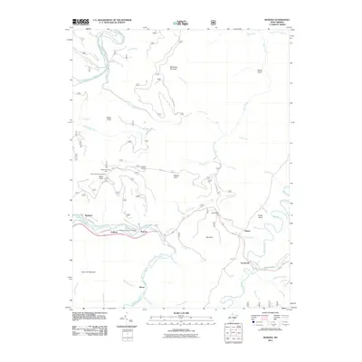 2011 Bowden2011 Print · USGSCovers Randolph County, including Alpena, Weese, and other nearby areas
 - 2011 Map of Whitmer, 2011 Print
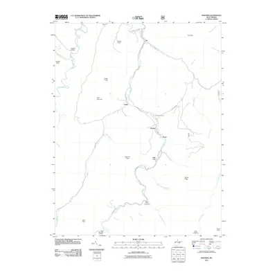 2011 Whitmer2011 Print · USGSCovers Randolph County, including Job, Whitmer, and other nearby areas
 - 2011 Map of Glady, 2011 Print
 2011 Glady2011 Print · USGSCovers Randolph County, including Flint, Bemis, and other nearby areas
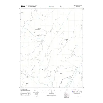
 - 2011 Map of Beverly West, 2011 Print
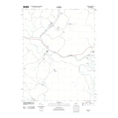
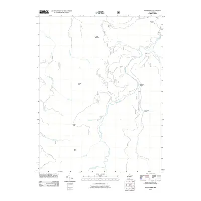
 2011 Beverly West2011 Print · USGSCovers Randolph County, including Beverly, Valley Bend, and other nearby areas
 - 2011 Map of Parsons, 2011 Print
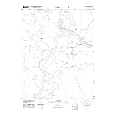 2011 Parsons2011 Print · USGSCovers Randolph County, including Parsons, Hendricks, and other nearby areas
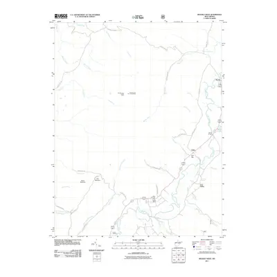
 - 2011 Map of Mozark Mountain, 2011 Print
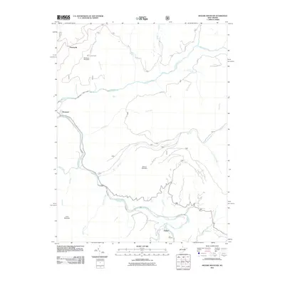 2011 Mozark Mountain2011 Print · USGSCovers Randolph County, including Thomas, Hendricks, and other nearby areas
 - 2011 Map of Beverly East, 2011 Print
 2011 Beverly East2011 Print · USGSCovers Randolph County, including Elkins, Beverly, and other nearby areas
 - 2011 Map of Mill Creek, 2011 Print
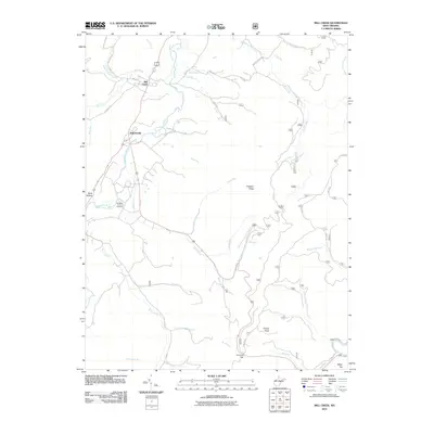 2011 Mill Creek2011 Print · USGSCovers Randolph County, including Mill Creek, Huttonsville, and other nearby areas
 - 2011 Map of Harman, 2011 Print
 2011 Harman2011 Print · USGSCovers Randolph County, including Harman, Dryfork, and other nearby areas
 - 2011 Map of Elkins, 2011 Print
 2011 Elkins2011 Print · USGSCovers Randolph County, including Elkins, Fairview, and other nearby areas
Showing maps 1-25 of 150
Top cities of Randolph County
- Elkins historical maps
- Beverly historical maps
- Mill Creek historical maps
- Valley Bend historical maps
- East Dailey historical maps
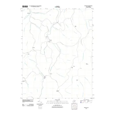
- Norton historical maps
See more
Frequently asked questions
- What are the different types of historical maps available for Randolph County?
- What is the oldest map of Randolph County?
- Where can I purchase historical maps of Randolph County for my home or office?
- Where can I download high-res historical maps of Randolph County?
- Are there historical topographic maps available for Randolph County?
- Is there historical aerial imagery available for Randolph County?
- Where are historical maps of Randolph County sourced from?