2020s Maps of Randolph County, West Virginia
Explore 30 historic maps of Randolph County from the 2020s. These maps offer a rare glimpse into what life looked like during the 2020s — showing old roads, neighborhoods, homes, and landmarks that have changed or disappeared over time.
Whether you're researching your family's past, planning a metal detecting trip, or studying how Randolph County's landscape evolved across the 2020s, these high-resolution maps are a powerful tool for exploring the history of this region.
- Focus on a specific era: All maps on this page are from the 2020s, giving you a focused view of this time period.
- See what’s changed: Compare century-old streets, trails, and buildings to today's modern landscape using overlays and satellite layers.
- Research with precision: Use these maps for genealogy, historical research, land use analysis, or educational projects.
- View, download, or print: Maps are fully viewable online in high resolution, and can be downloaded or printed for your own records.
Start exploring Randolph County's history through authentic maps from the 2020s. This is your window into the past.
Randolph County, WV maps
(30)- 2023 Map of Glady, 2023 Print
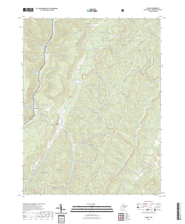 2023 Glady2023 Print · USGSThe mountain settlements of Glady and Bemis are captured here within the high-elevation forests of the West Virginia highlands. Researchers can trace the rugged topography of Shavers Mountain and locate remote landmarks like William Harris Spring or Spruce Knob.
 - 2023 Map of Snyder Knob, 2023 Print
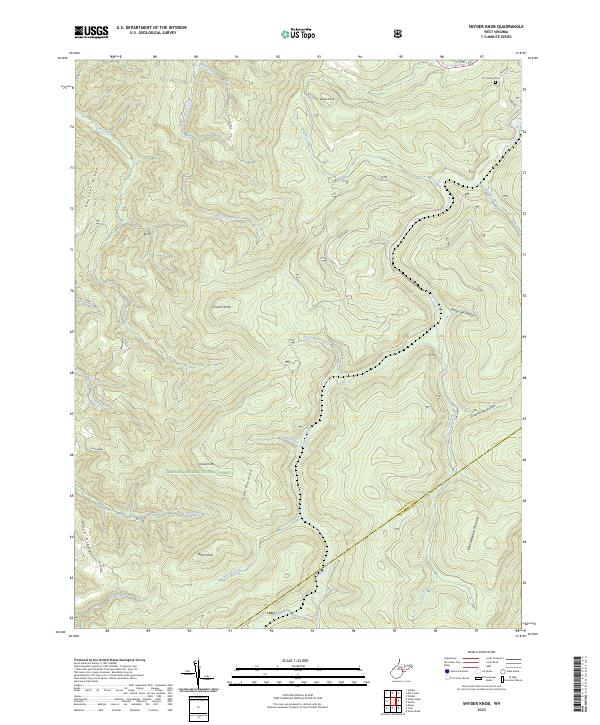 2023 Snyder Knob2023 Print · USGSThe high peaks of Cheat Mountain and the Monongahela National Forest are captured in this modern survey of the West Virginia highlands. Genealogists and hikers can locate Fort Milroy Cem and trace the many branches of Shavers Fork and Fish Hatchery Run.
 - 2023 Map of Mill Creek, 2023 Print
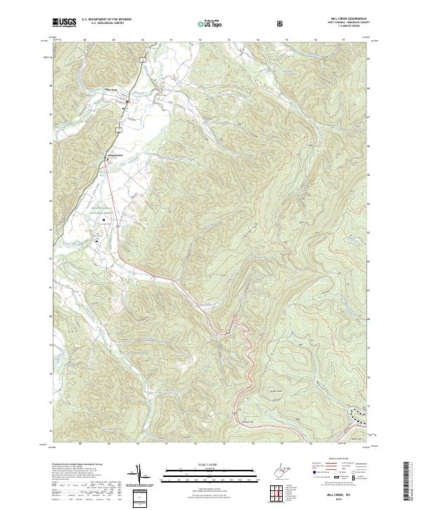 2023 Mill Creek2023 Print · USGSThe Tygart Valley at the edge of the Monongahela National Forest shows a deep connection between settlement and terrain. Genealogists and historians can trace family-named sites like Old Brick Church Cem and prominent summits including Hutton Knob and White Top.
 - 2023 Map of Harman, 2023 Print
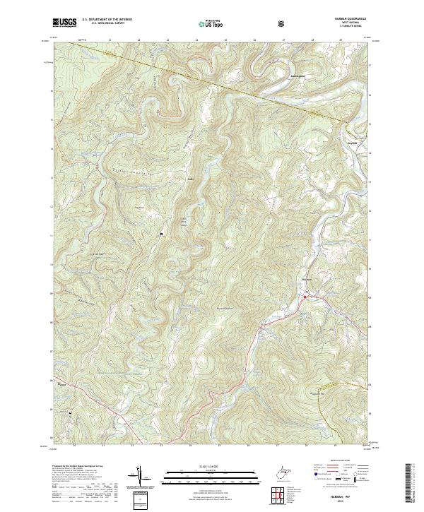 2023 Harman2023 Print · USGSRandolph County's high mountain valleys are documented here in the early 2020s, showing the intersection of wilderness and remote settlement. Local historians can locate family landmarks like Kerns Cem and Dr Bucher Spring or trace old paths through the Otter Creek Wilderness.
 - 2023 Map of Durbin, 2023 Print
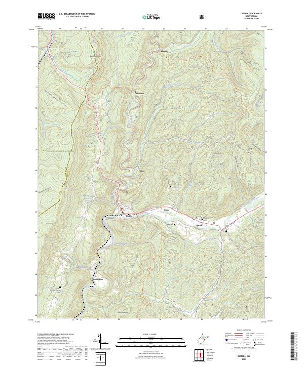 2023 Durbin2023 Print · USGSSettled at the forks of the Greenbrier River, this area of the Monongahela National Forest reflects a landscape of river-valley communities and high ridges. Genealogy researchers can locate numerous family and church burial grounds like Keller Cem and Yeager Cem.
 - 2023 Map of Cass, 2023 Print
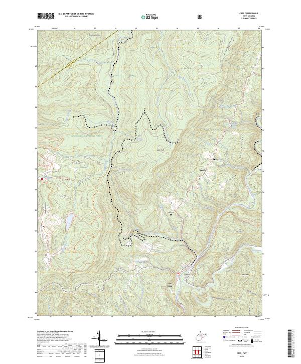 2023 Cass2023 Print · USGSHigh in the mountains of West Virginia, this survey shows the rugged intersection of the Greenbrier River and the high ridges of the Monongahela National Forest. Genealogists and local historians can trace family ties at Wanless Cem or explore the mountain settlements of Cass, Wanless, and Spruce.
 - 2023 Map of Bowden, 2023 Print
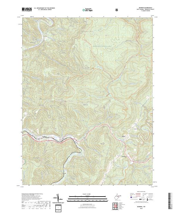 2023 Bowden2023 Print · USGSRandolph County's high ridges and river valleys are shown here in the contemporary era, anchored by the forest-bound communities along Shavers Fork. Researchers can locate family landmarks and rural outposts like Bowden, Evenwood, and the Mark P Burke Spring while tracing the trail networks of the Otter Creek Wilderness.
 - 2023 Map of Cassity, 2023 Print
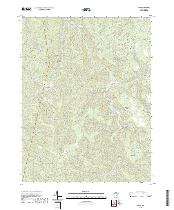 2023 Cassity2023 Print · USGSRandolph County's mountain settlements and river valleys are captured here in a detailed contemporary portrait. Genealogists and hikers can trace the connections between Cassity, Cubana, and Loda, or locate family sites at Long Run Cem and Simmons Cem.
 - 2023 Map of Ellamore, 2023 Print
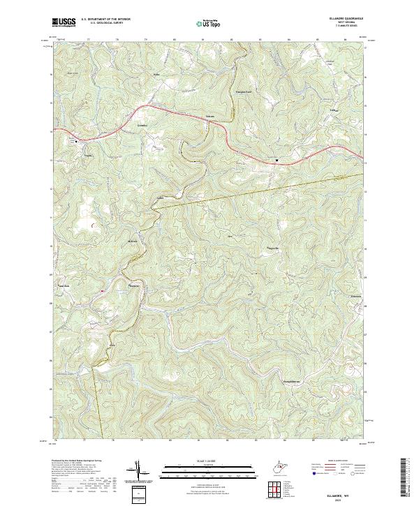 2023 Ellamore2023 Print · USGSThe Randolph and Upshur county lines meet in this Appalachian river valley during the early 2020s. Researchers can locate local landmarks like the Ellamore School, trace crossings at Finegan Ford, or find family names at Mount Zion Cem.
 - 2023 Map of Montrose, 2023 Print
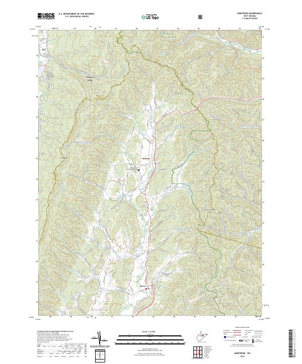 2023 Montrose2023 Print · USGSRandolph and Barbour counties are shown here in the 2020s, centered on the Leading Creek valley and the high ridges of the Allegheny Mountains. Researchers can trace family sites near Montrose or visit the Leading Creek Primitive Baptist Cem along the winding US Rte 219.
 - 2023 Map of Samp, 2023 Print
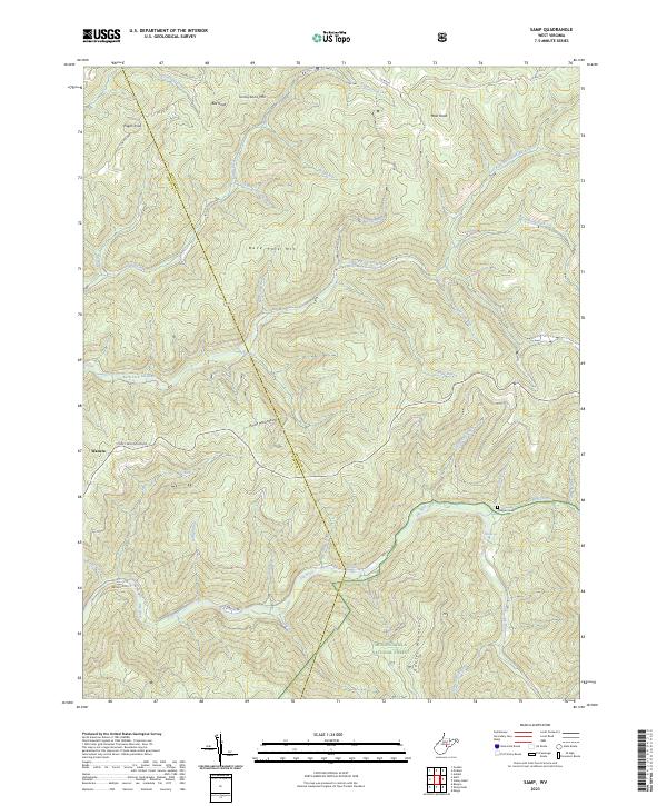 2023 Samp2023 Print · USGSThe high ridges of the West Virginia mountains are captured here as they appeared recently, showing the intersection of Webster and Randolph counties. Researchers can trace family sites like Cowger Cem and the settlement at Waneta, or locate natural landmarks such as Whitaker Falls and Elk Spring.
 - 2023 Map of Belington, 2023 Print
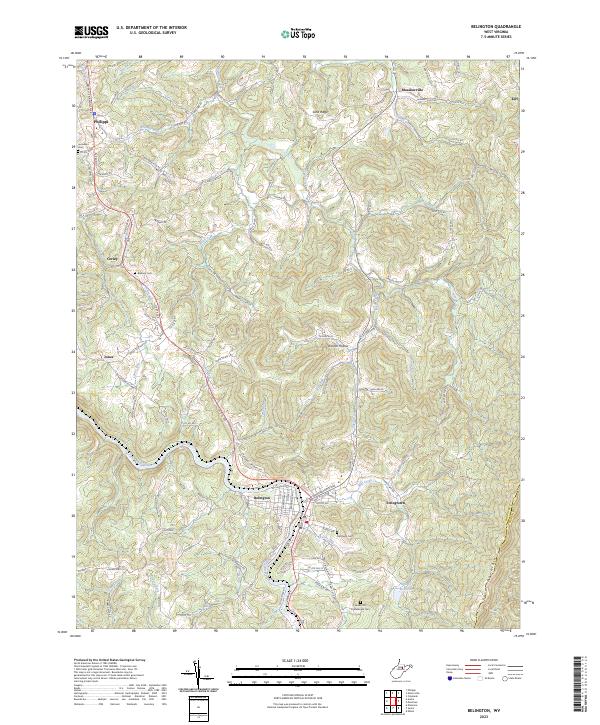 2023 Belington2023 Print · USGSBelington and the Tygart Valley River area are captured in this recent survey, showcasing the region's complex mountain topography and deep local heritage. Researchers can locate specific sites like Joseph Chapel, Laurel Hill Confederate Cem, and the small community of Meadowville.
 - 2023 Map of Parsons, 2023 Print
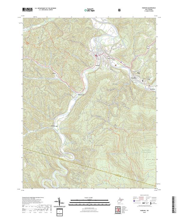 2023 Parsons2023 Print · USGSThe river forks of West Virginia's high country come alive in this modern survey of the Parsons area. Researchers can trace family history through the Tucker County Courthouse or local burial sites like Goff Cem and McNeely Cem near the Cheat River.
 - 2023 Map of Hopeville, 2023 Print
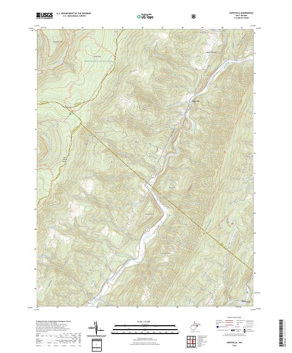 2023 Hopeville2023 Print · USGSThe West Virginia highlands are documented here at the intersection of four counties and the Dolly Sods Wilderness. Local historians can trace the paths between Hopeville and Ketterman or locate landmarks like Trout Rocks Spring and the Allegheny Front.
 - 2023 Map of Elkins, 2023 Print
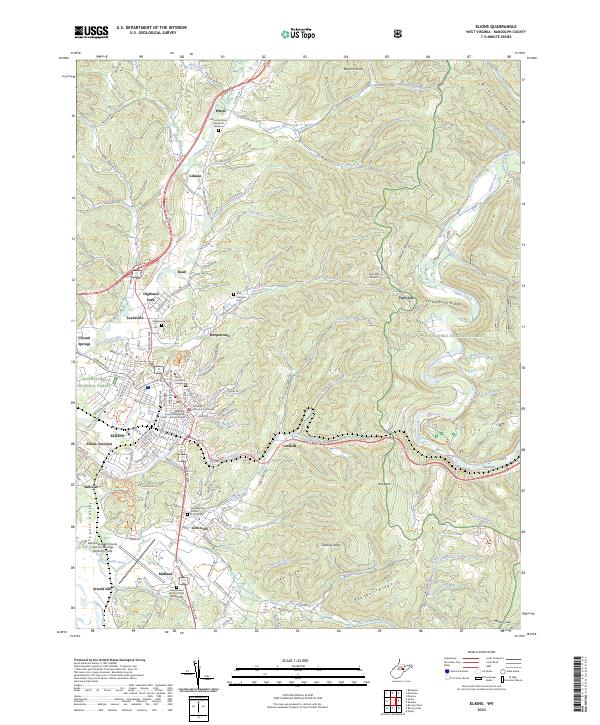 2023 Elkins2023 Print · USGSElkins and the Tygart Valley are shown here in the contemporary era, illustrating the growth of the Randolph county seat alongside its rail and mountain corridors. Genealogists and local historians can trace the grounds of Davis and Elkins College, Maplewood Cem, and the historic Randolph County Courthouse.
 - 2023 Map of Wildell, 2023 Print
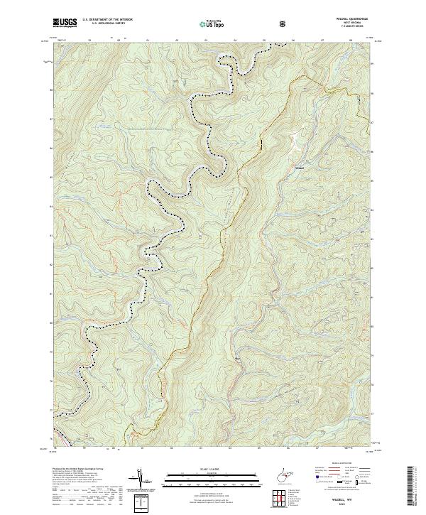 2023 Wildell2023 Print · USGSHigh in the Allegheny Mountains during the early twenty-first century, this landscape shows the isolated settlements and wilderness of the West Virginia highlands. Trace old transportation corridors along the West Fork Rail Trl and find remote outposts like Wildell and May.
 - 2023 Map of Sinks of Gandy, 2023 Print
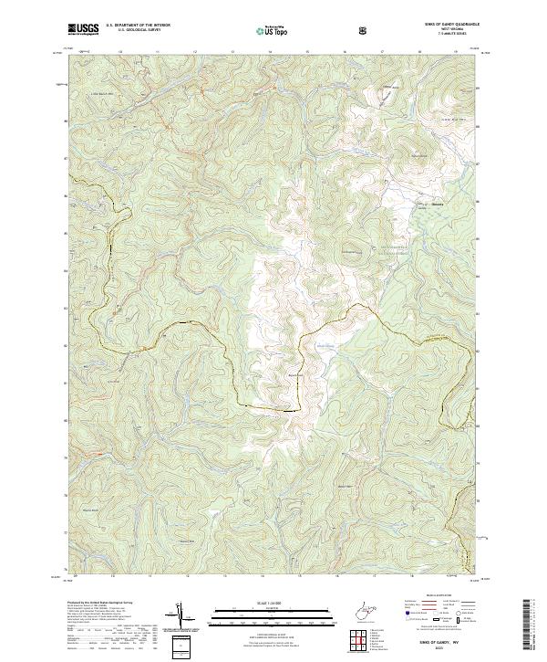 2023 Sinks of Gandy2023 Print · USGSThe high ridges and limestone drainage of the West Virginia mountains are documented here in the early twenty-first century. Researchers can trace the unique Sinks of Gandy, the settlement at Osceola, and high-altitude features like Blister Swamp.
 - 2023 Map of Whitmer, 2023 Print
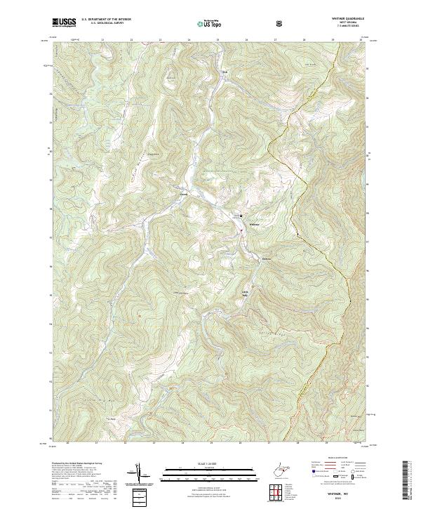 2023 Whitmer2023 Print · USGSWhitmer and the Gandy Creek valley are shown here in the early twenty-first century as the landscape transitioned from industrial timbering to forest wilderness. Researchers can trace the layout of Horton, locate Laurel Hill Cem, and follow mountain paths like the Allegheny Mountain Trl.
 - 2023 Map of Spruce Knob, 2023 Print
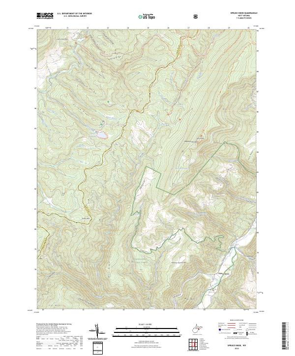 2023 Spruce Knob2023 Print · USGSHighland ridges and deep river headwaters dominate Pendleton County in the early twenty-first century. Genealogists and hikers can trace the geography around Cherry Grove, finding landmarks like Judy Spring, Teter Gap, and the high peak at Spruce Knob.
 - 2023 Map of Junior, 2023 Print
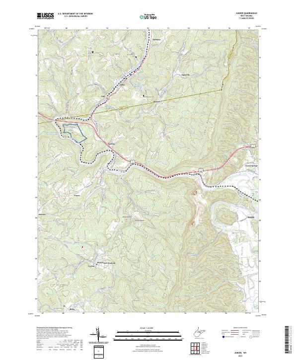 2023 Junior2023 Print · USGSThe Tygart Valley River corridor near the Barbour and Randolph county line is captured in this recent survey. Local historians can trace family roots at Valley River Brethren Cem and explore the dual-named settlement of Womelsdorf (Coalton).
 - 2023 Map of Laneville, 2023 Print
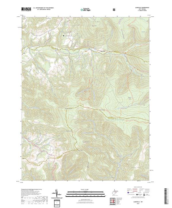 2023 Laneville2023 Print · USGSThe high plateau of the Allegheny Front is documented in this recent survey, capturing the remote watershed of the Red Creek. Researchers can locate legacy family landmarks like the Flanagan Memorial Cemetery and numerous named springs including Wyatt Farm Spring.
 - 2023 Map of Beverly East, 2023 Print
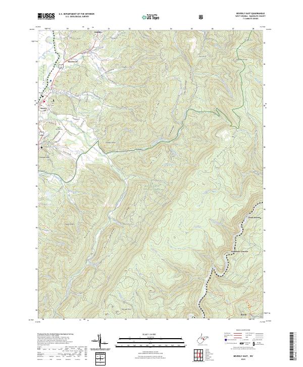 2023 Beverly East2023 Print · USGSThe Tygart Valley and the high ridges of the Monongahela National Forest meet here in recent years. Genealogists and historians can trace family locations near Beverly Cem, identify the Lazy J Aerodrome, and locate old transit points like Cheat Junction.
 - 2023 Map of Sharp Knob, 2023 Print
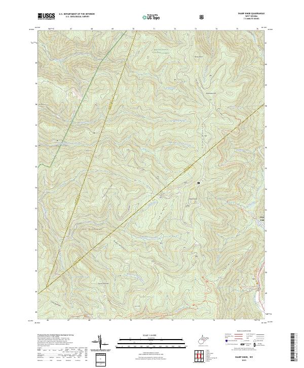 2023 Sharp Knob2023 Print · USGSIn the contemporary Highlands of Pocahontas County, this map details the rugged headwaters where the Elk River and Gauley River systems divide. Hikers and historians can trace the paths of the Tea Creek Trail and Gauley Mountain Trail near Slaty Fork.
 - 2023 Map of Mingo, 2023 Print
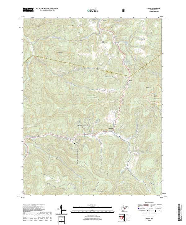 2023 Mingo2023 Print · USGSPocahontas County and Randolph County meet along these high Allegheny ridges in the early 2020s. Researchers can locate remote family landmarks like the Varner Cem and mountain settlements such as Mingo Flats, Mace, and Linwood.
 - 2023 Map of Mozark Mountain, 2023 Print
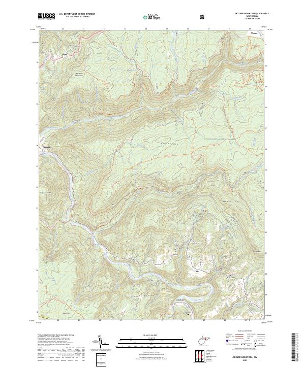 2023 Mozark Mountain2023 Print · USGSTucker County's high ridges and river forks are captured here in the early 2020s, showing a landscape defined by forest and trail. Researchers can locate the Teter Cem and trace old routes like the Railroad Grade Trl near Hendricks.
Showing maps 1-25 of 30
Top cities of Randolph County
- Elkins historical maps
- Beverly historical maps
- Mill Creek historical maps
- Valley Bend historical maps
- East Dailey historical maps
- Norton historical maps
See more
Frequently asked questions
- What are the different types of historical maps available for Randolph County?
- What is the oldest map of Randolph County?
- Where can I purchase historical maps of Randolph County for my home or office?
- Where can I download high-res historical maps of Randolph County?
- Are there historical topographic maps available for Randolph County?
- Is there historical aerial imagery available for Randolph County?
- Where are historical maps of Randolph County sourced from?