2010s Maps of Randolph County, West Virginia
Explore 120 historic maps of Randolph County from the 2010s. These maps offer a rare glimpse into what life looked like during the 2010s — showing old roads, neighborhoods, homes, and landmarks that have changed or disappeared over time.
Whether you're researching your family's past, planning a metal detecting trip, or studying how Randolph County's landscape evolved across the 2010s, these high-resolution maps are a powerful tool for exploring the history of this region.
- Focus on a specific era: All maps on this page are from the 2010s, giving you a focused view of this time period.
- See what’s changed: Compare century-old streets, trails, and buildings to today's modern landscape using overlays and satellite layers.
- Research with precision: Use these maps for genealogy, historical research, land use analysis, or educational projects.
- View, download, or print: Maps are fully viewable online in high resolution, and can be downloaded or printed for your own records.
Start exploring Randolph County's history through authentic maps from the 2010s. This is your window into the past.
Randolph County, WV maps
(120)- 2010 Map of Cassity, 2010 Print
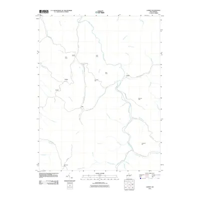 2010 Cassity2010 Print · USGSThis high-country Randolph County landscape at the start of the 2010s shows the winding Middle Fork River and the rural roads that connect its small settlements. Researchers can pinpoint the locations of Long Run Cemetery, Simmons Cemetery, and the Cassity Community.
 - 2010 Map of Pickens, 2010 Print
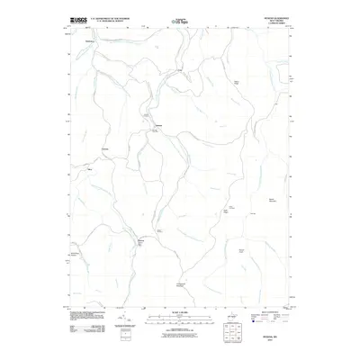 2010 Pickens2010 Print · USGSRandolph County's mountain settlements and river forks are captured here in the early twenty-first century. Researchers can trace family roots through the Helvetia Cemetery and Pickens Cemetery or locate historic hubs like Czar and Silica.
 - 2010 Map of Goshen, 2010 Print
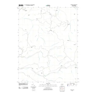 2010 Goshen2010 Print · USGSThis mountain landscape in the 2010s reveals a network of high-altitude settlements and family cemeteries in the West Virginia highlands. Genealogists can trace family lines at Rice Cemetery, Life Cemetery, or Vance Cemetery near the community of Goshen.
 - 2010 Map of Junior, 2010 Print
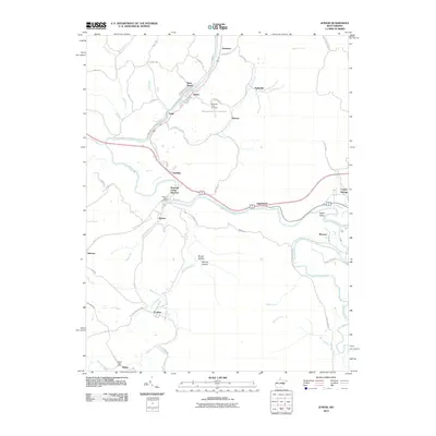 2010 Junior2010 Print · USGSThe Tygart Valley at the start of the millennium was a network of close-knit river towns and mountain hollows. Researchers can locate specific community centers like the Norton Post Office and trace the paths of Roaring Creek Junction and Crystal Springs.
 - 2011 Map of Belington, 2011 Print
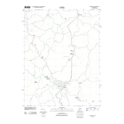 2011 Belington2011 Print · USGSBelington and the Tygart Valley River corridor are captured here at the start of the twenty-first century. Genealogists and historians can trace numerous vanished settlements like Lehigh and Wilmoth, or locate family landmarks such as Barbour Cemetery.
 - 2011 Map of Ellamore, 2011 Print
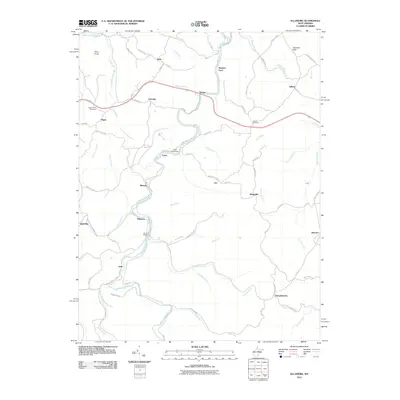 2011 Ellamore2011 Print · USGSRandolph County's river valleys and rail corridors are captured in this recent survey of the Middle Fork region. Researchers can locate family landmarks like Mount Zion Cemetery, the historic Kingsville Station, and the crossing at Finegan Ford.
 - 2011 Map of Adolph, 2011 Print
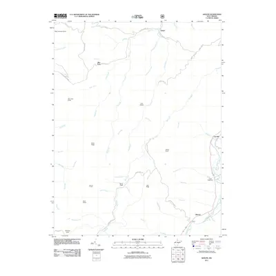 2011 Adolph2011 Print · USGSRandolph County's high ridges and river valleys are documented here during the early twenty-first century, showing the enduring character of mountain life. Genealogists and historians can locate legacy settlements like Adolph, Old Fort, and Spanoak Corners.
 - 2011 Map of Sharp Knob, 2011 Print
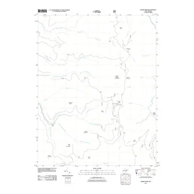 2011 Sharp Knob2011 Print · USGSRandolph County's high ridges and river headwaters are captured in detail here at the start of the twenty-first century. Researchers can trace the source of the Gauley River system and locate specific mountain landmarks like the Sharps Knob Lookout Tower and Slaty Fork.
 - 2011 Map of Valley Head, 2011 Print
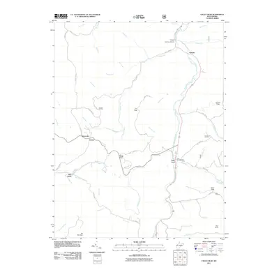 2011 Valley Head2011 Print · USGSRandolph County's mountain landscape is captured here in the early 2000s, centered on the high valleys and river forks of the Alleghenies. Researchers can locate family landmarks like the Stalnaker Cemetery, the Lieutenant Colonel Washington Memorial, and the Valley Head Post Office.
 - 2011 Map of Durbin, 2011 Print
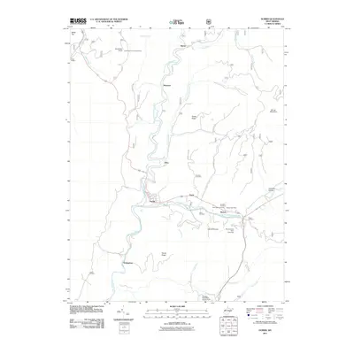 2011 Durbin2011 Print · USGSPocahontas County at the turn of the decade shows a landscape where high ridges meet the forks of the Greenbrier River. Genealogists can locate family burial grounds like Goodsell Cemetery and Saint Mark Cemetery or trace the path of Old Pike Rd.
 - 2011 Map of Wildell, 2011 Print
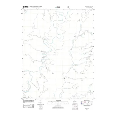 2011 Wildell2011 Print · USGSPocahontas County’s high mountain drainages are captured here in the early twenty-first century, showing a landscape defined by forestry and river headwaters. Researchers can locate the small communities of Wildell and May alongside the Enviro Energy Mine and the Wildell Shelter.
 - 2011 Map of Sinks of Gandy, 2011 Print
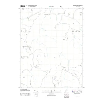 2011 Sinks of Gandy2011 Print · USGSThe West Virginia highlands in the early twenty-first century are defined by their complex river headwaters and high-altitude forest recreation. Researchers can trace the rugged topography of Sinks of Gandy while locating landmarks like Osceola and Middle Mountain Cabins.
 - 2011 Map of Spruce Knob, 2011 Print
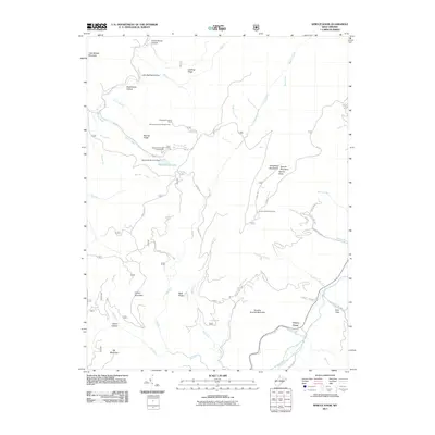 2011 Spruce Knob2011 Print · USGSThe high peaks of the Allegheny Mountains and the settlement of Cherry Grove are the focus of this survey at the start of the 2010s. Researchers can trace the drainage of the North Fork South Branch Potomac River and locate mountain landmarks like the Gatewood Lookout Tower and Spruce Knob.
 - 2011 Map of Snyder Knob, 2011 Print
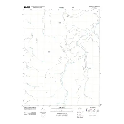 2011 Snyder Knob2011 Print · USGSRandolph County's high ridges and river valleys are captured here in the early twenty-first century. Researchers can trace family landmarks and mountain crossings near Fort Milroy Cemetery, Cheat Bridge, and the waters of Shavers Fork.
 - 2011 Map of Cass, 2011 Print
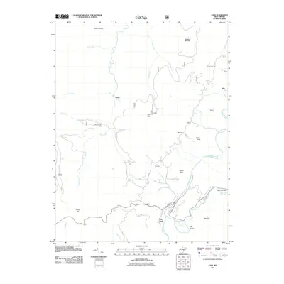 2011 Cass2011 Print · USGSPocahontas County at the start of the 2010s shows a landscape defined by the Greenbrier River and high mountain ridges. Researchers can trace historic sites like the Wanless Cemetery, the Bald Knob Lookout Tower, and the settlement at Cass.
 - 2011 Map of Bowden, 2011 Print
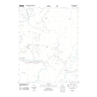 2011 Bowden2011 Print · USGSThe high ridges and valley settlements of the West Virginia highlands are shown here in the early twenty-first century. Researchers can locate the Bowden National Fish Hatchery and trace old roads near Alpena and Evenwood.
 - 2011 Map of Whitmer, 2011 Print
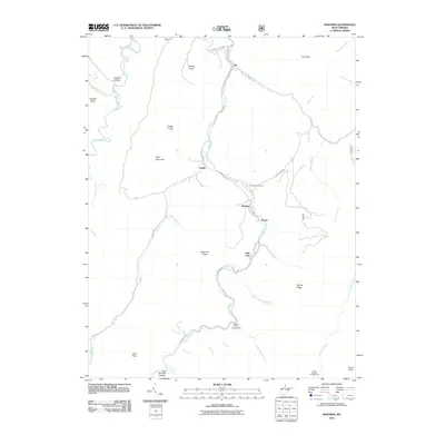 2011 Whitmer2011 Print · USGSRandolph County's river-bottom communities are captured here in the early twenty-first century along the winding Dry Fork. Researchers can trace local lineage through family-named landmarks like Lee Bennett Hollow and the Laurel Hill Cemetery or locate the site of Little Italy.
 - 2011 Map of Glady, 2011 Print
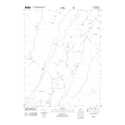 2011 Glady2011 Print · USGSRandolph County's high ridges and river forks come into focus in this recent survey of the West Virginia highlands. Genealogists and hikers can trace family names and terrain from the Glady Post Office and Bemis to the heights of Spruce Knob and Shavers Mountain.
 - 2011 Map of Beverly West, 2011 Print
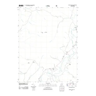 2011 Beverly West2011 Print · USGSThe Tygart Valley of Randolph County remains a series of tight-knit river communities in this recent survey. Genealogists and hikers can trace the geography of Valley Bend, locate the Crouch Cemetery, or find the high Rich Mountain Fire Lookout Tower on the western ridge.
 - 2011 Map of Parsons, 2011 Print
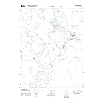 2011 Parsons2011 Print · USGSThe river confluence at Parsons and Hendricks comes into sharp focus during the early twenty-first century. Genealogists and local historians can trace family roots through numerous burial grounds like Fansler Cemetery or locate historical industry at Channels Mill.
 - 2011 Map of Mozark Mountain, 2011 Print
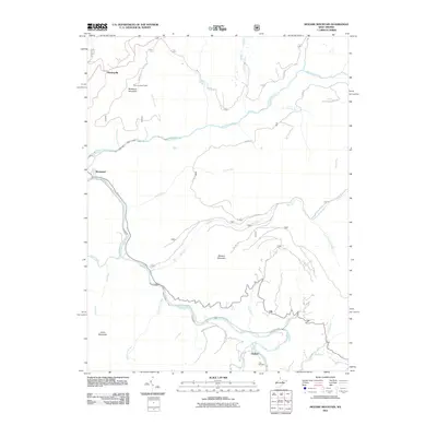 2011 Mozark Mountain2011 Print · USGSTucker County's high ridges and river forks are captured here in the early twenty-first century. Researchers can trace family sites and landmarks like Teter Cemetery, the heights of Mozark Mountain, and the small settlement at Mackeyville.
 - 2011 Map of Beverly East, 2011 Print
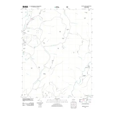 2011 Beverly East2011 Print · USGSRandolph County in the early twenty-first century reveals a landscape shaped by river valleys and critical rail junctions. Genealogists and local historians can trace family sites at Beverly Cemetery or follow the rail history through Cheat Junction and Elk River Junction.
 - 2011 Map of Mill Creek, 2011 Print
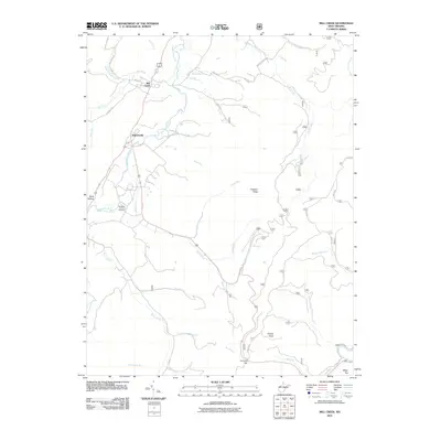 2011 Mill Creek2011 Print · USGSRandolph County's high-country settlements and valley floors are well-documented in the early twenty-first century. Genealogists and historians can trace the valley's development near the Old Brick Church Cemetery and the riverfront communities of Mill Creek and Huttonsville.
 - 2011 Map of Harman, 2011 Print
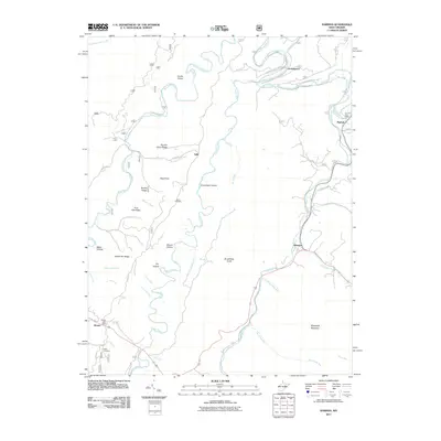 2011 Harman2011 Print · USGSThe mountain valleys of Randolph County appear in detail here during the early 2010s, showing the enduring character of its river settlements. Genealogists and historians can trace family-named sites like Kerns Cemetery and the Dry Fork Post Office along the Glady Fork.
 - 2011 Map of Elkins, 2011 Print
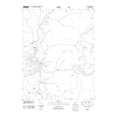 2011 Elkins2011 Print · USGSElkins and the surrounding valley floor are shown in detail during the early twenty-first century as the city expanded toward the river forks. Researchers can locate specific local landmarks like Maplewood Cemetery, Jennings Randolph Field, and the Elkins Post Office.
Showing maps 1-25 of 120
Top cities of Randolph County
- Elkins historical maps
- Beverly historical maps
- Mill Creek historical maps
- Valley Bend historical maps
- East Dailey historical maps
- Norton historical maps
See more
Frequently asked questions
- What are the different types of historical maps available for Randolph County?
- What is the oldest map of Randolph County?
- Where can I purchase historical maps of Randolph County for my home or office?
- Where can I download high-res historical maps of Randolph County?
- Are there historical topographic maps available for Randolph County?
- Is there historical aerial imagery available for Randolph County?
- Where are historical maps of Randolph County sourced from?