2010s Maps of Bayfield County, Wisconsin
Explore 172 historic maps of Bayfield County from the 2010s. These maps offer a rare glimpse into what life looked like during the 2010s — showing old roads, neighborhoods, homes, and landmarks that have changed or disappeared over time.
Whether you're researching your family's past, planning a metal detecting trip, or studying how Bayfield County's landscape evolved across the 2010s, these high-resolution maps are a powerful tool for exploring the history of this region.
- Focus on a specific era: All maps on this page are from the 2010s, giving you a focused view of this time period.
- See what’s changed: Compare century-old streets, trails, and buildings to today's modern landscape using overlays and satellite layers.
- Research with precision: Use these maps for genealogy, historical research, land use analysis, or educational projects.
- View, download, or print: Maps are fully viewable online in high resolution, and can be downloaded or printed for your own records.
Start exploring Bayfield County's history through authentic maps from the 2010s. This is your window into the past.
Bayfield County, WI maps
(172)- 2010 Map of Brule, 2010 Print
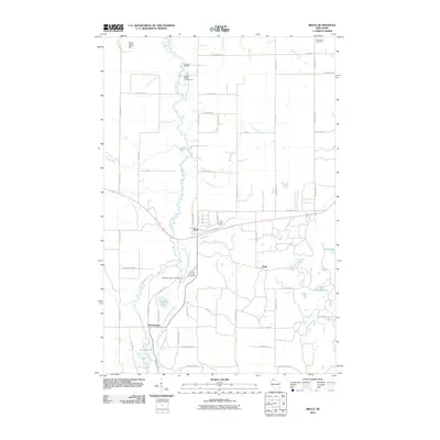 2010 Brule2010 Print · USGSBrule and the winding Bois Brule River are captured here during the first decade of the millennium, showing a landscape shaped by water and woods. Genealogists and local historians can trace family-named roads and landmarks like Winneboujou, the Wisconsin State Fish Hatchery, and Pine Ridge Cemetery.
 - 2010 Map of Blaine Creek, 2010 Print
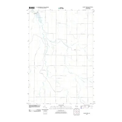 2010 Blaine Creek2010 Print · USGSBayfield County's Northwoods landscape is captured here in the early twenty-first century, showcasing the complex drainage of the Iron River and its many forks. Researchers can trace ancestral connections through Hillside Cemetery and numerous family-named local routes like Hokkanen Rd and Gulu Pedersen Rd.
 - 2010 Map of Chittamo NE, 2010 Print
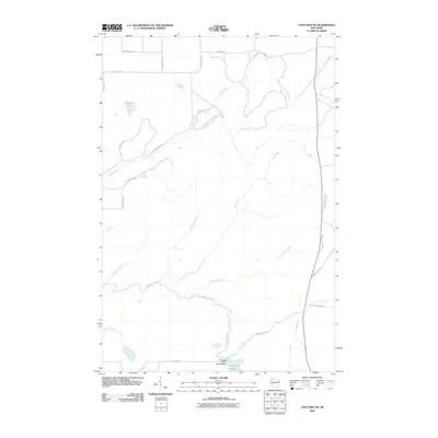 2010 Chittamo NE2010 Print · USGSDouglas County’s forested wetlands and hydraulic infrastructure are captured here in the decade following the turn of the millennium. Outdoor enthusiasts and researchers can trace the Totagatic River to the 2WP804 Dam or explore the network of timber routes like Coppermine Scenic Drive Loop.
 - 2010 Map of Ellison Lake, 2010 Print
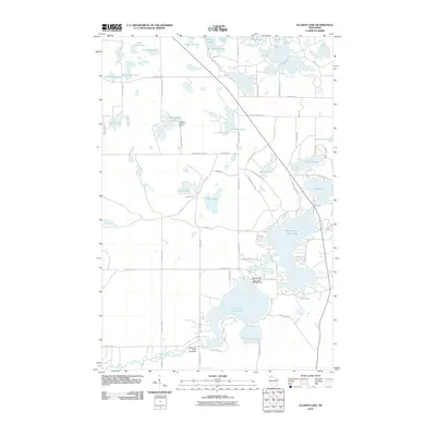 2010 Ellison Lake2010 Print · USGSNorthern Wisconsin lake country is shown in detail during the early 21st century. Trace the water system from the Middle Eau Claire Lake 2WP366 Dam and Highland Lookout Tower to the shores of Bony Lake.
 - 2010 Map of Mason, 2010 Print
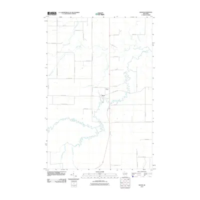 2010 Mason2010 Print · USGSMason and the winding White River appear in this 2010 survey of northern Wisconsin. Genealogists and local historians can trace family-named routes like Olaf Johnson Rd and Kostello Rd or locate the Mason Cemetery near the riverbanks.
 - 2010 Map of Oulu, 2010 Print
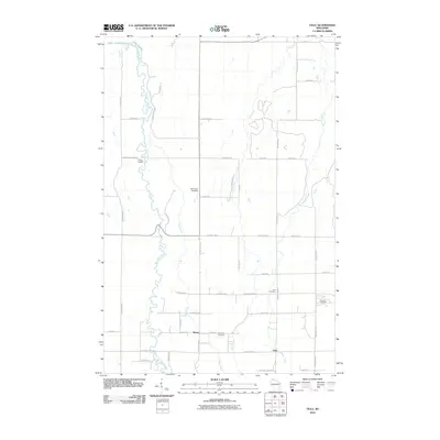 2010 Oulu2010 Print · USGSCoastal northern Wisconsin near the turn of the 21st century reveals a landscape where the Bois Brule River meets the great lake. Genealogists can trace local family heritage through road names and sites like McNeil Landing, Waino, and Oulu Cemetery.
 - 2010 Map of Island Lake, 2010 Print
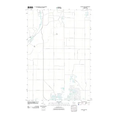 2010 Island Lake2010 Print · USGSThe Bayfield County woods and glacial lake chains are documented here in the early twenty-first century. Researchers can trace land access and estate developments like Cedar Island Estate or locate landmarks such as the Brule Lookout Tower and Island Lake.
 - 2010 Map of Herbster, 2010 Print
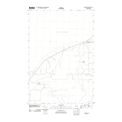 2010 Herbster2010 Print · USGSCoastal Bayfield County meets the Great Lakes here in the early 2010s, where the community of Herbster sits along the shoreline. Researchers can trace rural property access and conservation lands like the Cranberry River State Fishery Area and Flag River State Fishery Area.
 - 2010 Map of Sand Island, 2010 Print
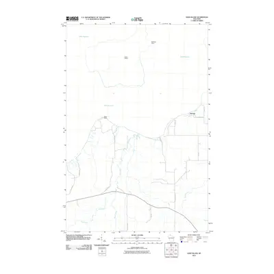 2010 Sand Island2010 Print · USGSCoastal Bayfield County is documented here during the early twenty-first century, showing the relationship between the mainland and the Apostle Islands. Trace the shoreline from Sand Point to Sand Bay and follow the paths of the Sand River and Rocket Creek.
 - 2010 Map of Sanborn, 2010 Print
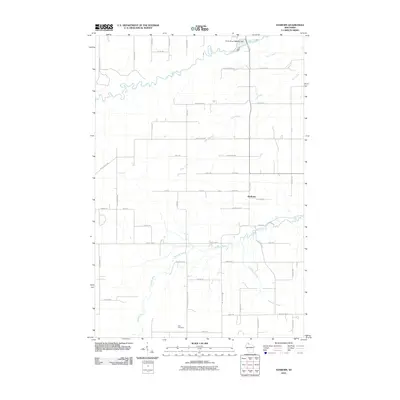 2010 Sanborn2010 Print · USGSNorthern Wisconsin's rural landscape is captured here at the start of the decade, centered on the community of Sanborn. Researchers can trace local family history through the road network and locate landmarks like Moe Cemetery and the White River 1893C99 Dam.
 - 2010 Map of Ashland West, 2010 Print
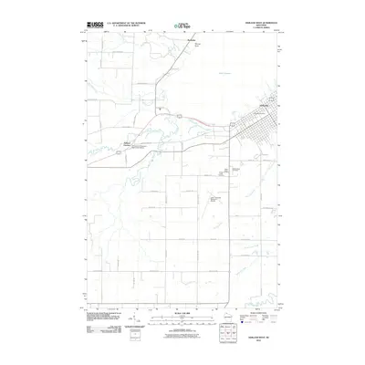 2010 Ashland West2010 Print · USGSCoastal Wisconsin where the forest meets the bay, this survey captures the western expansion of the city during the early 2000s. Researchers can trace family sites at Mount Hope Cemetery or locate regional infrastructure like the John F Kennedy Memorial Airport and Ashland Junction.
 - 2010 Map of Bayfield, 2010 Print
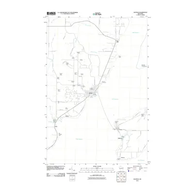 2010 Bayfield2010 Print · USGSThe Lake Superior coast and the northern tip of Madeline Island are captured here in the early twenty-first century. Genealogists and historians can trace the region's orchard heritage and maritime landmarks like La Pointe Light, Erickson Orchard, and the Old Bayfield County Courthouse.
 - 2010 Map of York Island, 2010 Print
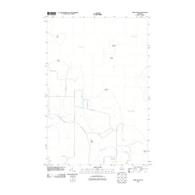 2010 York Island2010 Print · USGSThe northern tip of Wisconsin meets Lake Superior in this 2010 survey of islands and coastal points. Researchers can trace the drainage of Raspberry River and Frog Creek or locate the inland Petit Cache Airport and York Island.
 - 2010 Map of Washburn, 2010 Print
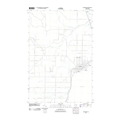 2010 Washburn2010 Print · USGSThe Lake Superior shoreline and the city of Washburn are captured here in the early twenty-first century. Genealogists and local historians can locate Woodlawn Cemetery, trace the winding Sioux River, or explore the maritime layout of the Washburn Marina.
 - 2010 Map of Mount Ashwabay, 2010 Print
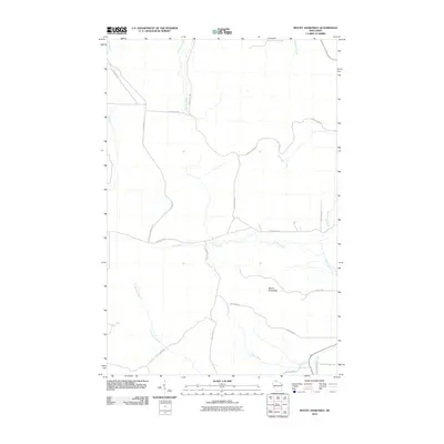 2010 Mount Ashwabay2010 Print · USGSThe northern tip of the Bayfield Peninsula is captured here in the early 21st century, where the forested highlands meet the cold waters of the great lake. Researchers can trace local landmarks like Mount Ashwabay and the course of the Onion River or Pikes Creek.
 - 2010 Map of Port Wing, 2010 Print
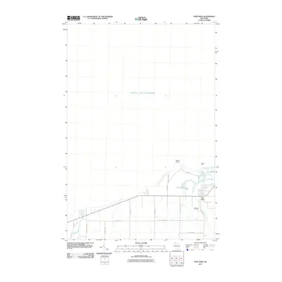 2010 Port Wing2010 Print · USGSPort Wing and the south shore of Lake Superior are captured here in the early twenty-first century. Genealogists and local historians can trace family-named roads and landmarks like Greenwood Cemetery, Bibon Lake, and the East Pier Light.
 - 2010 Map of Long Island, 2010 Print
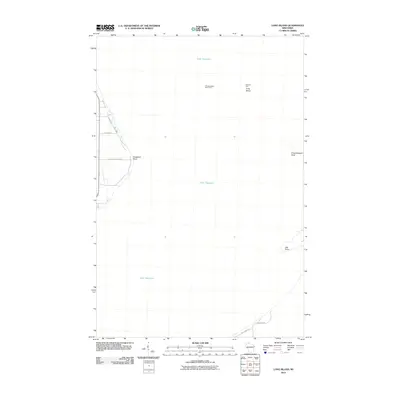 2010 Long Island2010 Print · USGSThe northern tip of Wisconsin meets the great expanse of Lake Superior in this 2010 survey of the bay's natural defenses. Researchers can trace the positioning of Chequamegon Point Light and maritime landmarks like Oak Point and Houghton Point.
 - 2011 Map of Clam Lake, 2011 Print
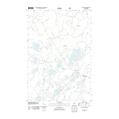 2011 Clam Lake2011 Print · USGSWisconsin's northern lake country is captured here during a period of modern forest management and lakeside recreation. Researchers can trace the layout of Clam Lake, locate the Wildwood Cemetery, or find the Little Clam Lake Seaplane Base near the water's edge.
 - 2011 Map of Marengo Lake, 2011 Print
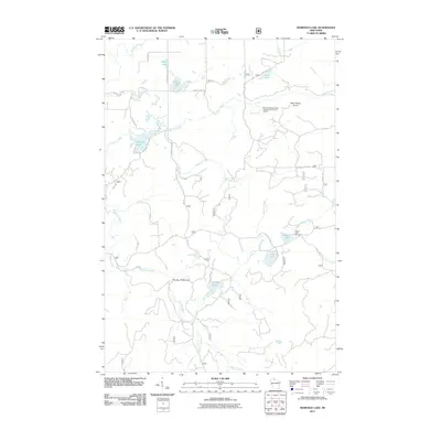 2011 Marengo Lake2011 Print · USGSThe Northwoods of Bayfield County are captured here in the early twenty-first century, showing a landscape defined by timber roads and water. Trace the routes to Saint Peters Dome, the cascading Morgan Falls, and recreation sites at Beaver Lake.
 - 2011 Map of Drummond NW, 2011 Print
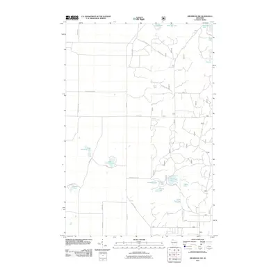 2011 Drummond NW2011 Print · USGSNorthern Wisconsin's lake country is captured here during the early twenty-first century, showcasing a landscape of isolated glacial basins and timber access routes. You can trace the shorelines of Lake Ruth and Sand Lake or follow the path of Forest Road 410.
 - 2011 Map of Iron Lake, 2011 Print
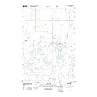 2011 Iron Lake2011 Print · USGSIron River and the surrounding lake country are captured here at the start of the 2010s. Researchers can trace the Tri County Corridor through the township and locate family-named landmarks like Jackman Lake, the City Cemetery, and the Bayfield County Airport.
 - 2011 Map of Cable, 2011 Print
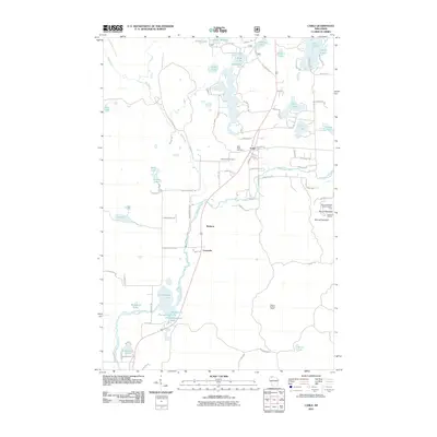 2011 Cable2011 Print · USGSCable and the Namekagon River corridor are captured here during the early twenty-first century as the region balanced its timber roots with seasonal recreation. Researchers can trace local lineage at Greenwood Cemetery or locate the sprawling Mount Telemark SkiArea and Seeley Lookout Tower.
 - 2011 Map of Hart Lake, 2011 Print
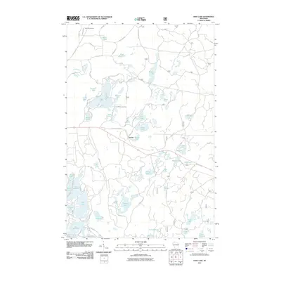 2011 Hart Lake2011 Print · USGSBayfield County's lake country is captured here in the early twenty-first century, showing a landscape defined by glacial basins and timber management. Researchers can trace local landmarks like the Iron River Lookout Tower, the Tri-County Corridor, and the secluded Valley View Cemetery.
 - 2011 Map of Moquah, 2011 Print
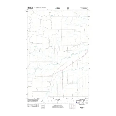 2011 Moquah2011 Print · USGSMoquah and Benoit appear at a moment when the rural landscape of Bayfield County remains defined by its forest roads and creek networks. Genealogists can locate Saint Peters Cemetery and trace family-named routes like Lupa Rd, Bozenik Rd, and Sutaric Rd.
 - 2011 Map of Moquah NW, 2011 Print
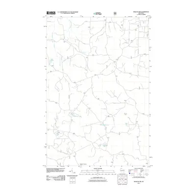 2011 Moquah NW2011 Print · USGSBayfield County's northern forests are captured here during the early twenty-first century, showcasing a landscape of glacial lakes and managed timberlands. Outdoor enthusiasts and local historians can trace the remote access roads to Sunken Camp Lake, Moose Lake, and the protected Moquah Natural Area.
Showing maps 1-25 of 172
Top cities of Bayfield County
- Washburn historical maps
- Iron River historical maps
- Cable historical maps
- Bayfield historical maps
- Drummond historical maps
- Port Wing historical maps
See more
Frequently asked questions
- What are the different types of historical maps available for Bayfield County?
- What is the oldest map of Bayfield County?
- Where can I purchase historical maps of Bayfield County for my home or office?
- Where can I download high-res historical maps of Bayfield County?
- Are there historical topographic maps available for Bayfield County?
- Is there historical aerial imagery available for Bayfield County?
- Where are historical maps of Bayfield County sourced from?