2000s (21st Century) Maps of Sherwood, Wisconsin
Explore 20 historic maps of Sherwood from the 2000s (21st Century). These maps offer a rare glimpse into what life looked like during the 2000s — showing old roads, neighborhoods, homes, and landmarks that have changed or disappeared over time.
Whether you're researching your family's past, planning a metal detecting trip, or studying how Sherwood's landscape evolved across the 2000s, these high-resolution maps are a powerful tool for exploring the history of this region.
- Focus on a specific era: All maps on this page are from the 2000s, giving you a focused view of this time period.
- See what’s changed: Compare century-old streets, trails, and buildings to today's modern landscape using overlays and satellite layers.
- Research with precision: Use these maps for genealogy, historical research, land use analysis, or educational projects.
- View, download, or print: Maps are fully viewable online in high resolution, and can be downloaded or printed for your own records.
Start exploring Sherwood's history through authentic maps from the 2000s. This is your window into the past.
Sherwood, WI maps
(20)- 2010 Map of Lindsey, 2010 Print
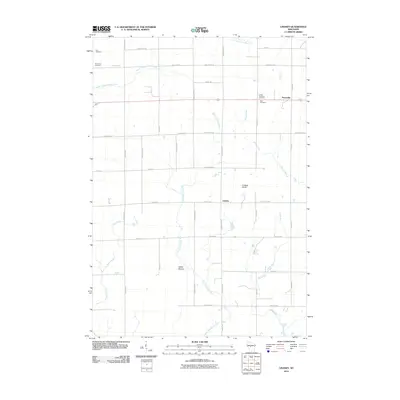 2010 Lindsey2010 Print · USGSCentral Wisconsin at the start of the 2010s shows a landscape of steady agricultural roots and sprawling river headwaters. Researchers can locate family burial sites at Yolo Cemetery or Rock Cemetery and trace the paths of the East Fork Black River and Rocky Run.
 - 2010 Map of City Point NE, 2010 Print
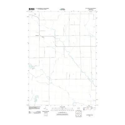 2010 City Point NE2010 Print · USGSSherwood and Nevins are documented here in the early twenty-first century, showcasing a rural Wisconsin landscape tied to the East Fork Black River. Researchers can trace local history at the Sherwood Cemetery or locate landmarks like Sherwood Dam and Sherwood Lake 15.
 - 2010 Map of Granton, 2010 Print
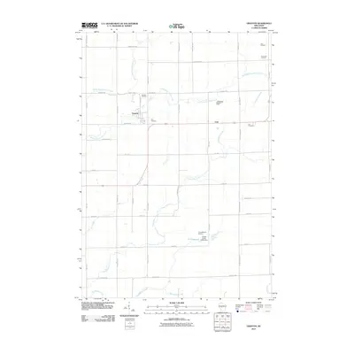 2010 Granton2010 Print · USGSGranton and the surrounding Clark County countryside appear in this detailed survey from the early 2000s. Genealogists and historians can locate family plots at Windfall Cemetery or Zion Cemetery and trace the paths of Cunningham Creek and Jack Creek.
 - 2010 Map of City Point NW, 2010 Print
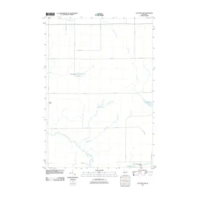 2010 City Point NW2010 Print · USGSThe Clark County backcountry at the start of the 2010s shows a landscape of managed watersheds and forest roads. Researchers can trace the drainage of the East Fork Black River and locate distinctive landmarks like Qualley E1854 Dam and Sherwood Lake 15.
 - 2013 Map of Granton, 2013 Print
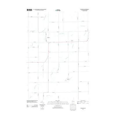 2013 Granton2013 Print · USGSCentral Wisconsin's rural landscape is mapped here in the early 2010s, centered on the villages of Granton and Lynn. Genealogists and local historians can trace the creek-side settlements along Cunningham Cr and the small-scale aviation at Cunningham Airport.
 - 2013 Map of City Point NE, 2013 Print
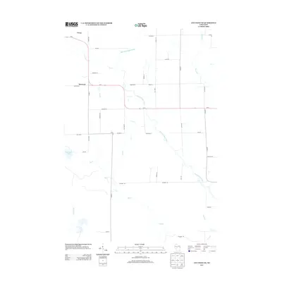 2013 City Point NE2013 Print · USGSSherwood and the surrounding Clark County wetlands are captured here in the early twenty-first century as the landscape remains defined by its glacial waterways. Genealogists and local historians can trace family-named routes like Accola Rd and Niemann Rd near Sherwood Lake and the East Fork Black River.
 - 2013 Map of Lindsey, 2013 Print
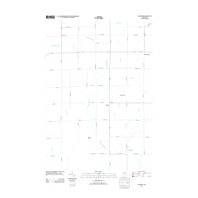 2013 Lindsey2013 Print · USGSCentral Wisconsin farmland near the Clark and Wood county line is captured here in the early twenty-first century. Genealogists and local historians can trace family properties near Lindsey, the East Fork Black River, and the prominent Lindsey Bluffs.
 - 2013 Map of City Point NW, 2013 Print
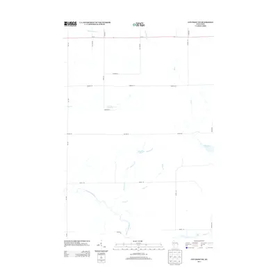 2013 City Point NW2013 Print · USGSWisconsin's northern woods and wetlands come into focus here in the early twenty-first century. Genealogists and outdoorsmen can trace the rural road network and water features like Washwood Pond, Sherwood Lake, and the winding East Fork Black River.
 - 2015 Map of Granton, 2015 Print
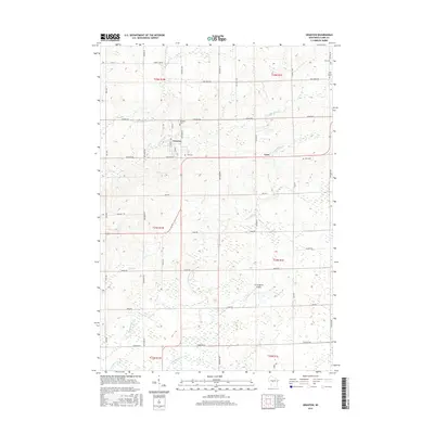 2015 Granton2015 Print · USGSCentral Clark County is shown in this modern era as a landscape of steady agricultural tradition and small-town roots. Researchers can locate family landmarks like Windfall Cem or Zion Cem and trace the paths of Cunningham Cr and Jack Cr.
 - 2015 Map of Lindsey, 2015 Print
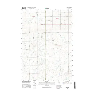 2015 Lindsey2015 Print · USGSThe Clark and Wood county line divides this rural Wisconsin landscape during the mid-2010s, showcasing a network of established dairy country roads. Researchers can locate family burial sites at Grace Lutheran Cem and Rock Cem or trace the E Fork Black River.
 - 2015 Map of City Point NE, 2015 Print
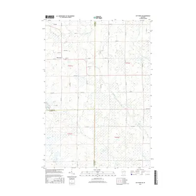 2015 City Point NE2015 Print · USGSSherwood and the surrounding tri-county marshes are documented here during the mid-2010s. Genealogists and local historians can trace family-named roads like Baltus Rd and locate the Sherwood Cem near the East Fork Black River.
 - 2015 Map of City Point NW, 2015 Print
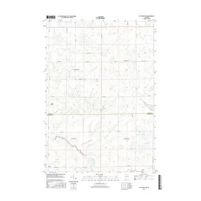 2015 City Point NW2015 Print · USGSThe Clark and Jackson County line meets in these Wisconsin wetlands during the mid-2010s, showing a landscape shaped by the East Fork Black River. Researchers can locate the settlement of Pray and trace hydrological features like Sherwood Lake and Ammundson Marsh.
 - 2018 Map of Granton, 2018 Print
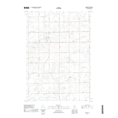 2018 Granton2018 Print · USGSGranton and Lynn appear in this recent Clark County survey as established rural centers surrounded by a intricate network of creeks and cemeteries. Researchers can trace family history at Yolo Cem and Lynn Cem, or locate the Cunningham Airport and Reservoir.
 - 2018 Map of City Point NE, 2018 Print
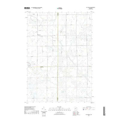 2018 City Point NE2018 Print · USGSThe tri-county border area of Clark, Wood, and Jackson counties is captured here in the late twenty-teens, showing a landscape defined by expansive wetlands. Genealogists and local historians can locate Sherwood, Nevins, and the Sherwood Cem.
 - 2018 Map of Lindsey, 2018 Print
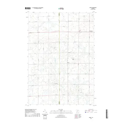 2018 Lindsey2018 Print · USGSLindsey and Nasonville appear here at the boundary of Clark and Wood counties in a classic Wisconsin agricultural landscape. Genealogists and local researchers can trace family roots through sites like Rock Cem and landmarks like Epsey Mound.
 - 2018 Map of City Point NW, 2018 Print
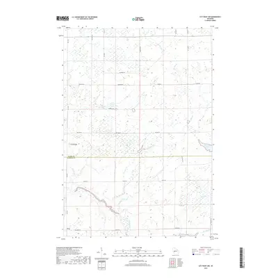 2018 City Point NW2018 Print · USGSThis late-decade survey covers the wetland and forest border of Clark and Jackson counties during a period of steady environmental management. Researchers can trace the winding East Fork Black River near the town of Pray or locate regional water features like Sherwood Lake and Brushy Ridge.
 - 2022 Map of Lindsey, 2022 Print
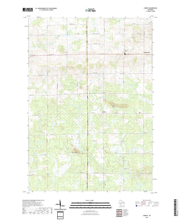 2022 Lindsey2022 Print · USGSWood County agricultural and forest lands are captured in the early 2020s, centered on the communities of Lindsey and Nasonville. Researchers can trace family history and landmarks at Rock Cem, Lindsey Bluffs, and the distinct Epsey Mound.
 - 2022 Map of City Point NE, 2022 Print
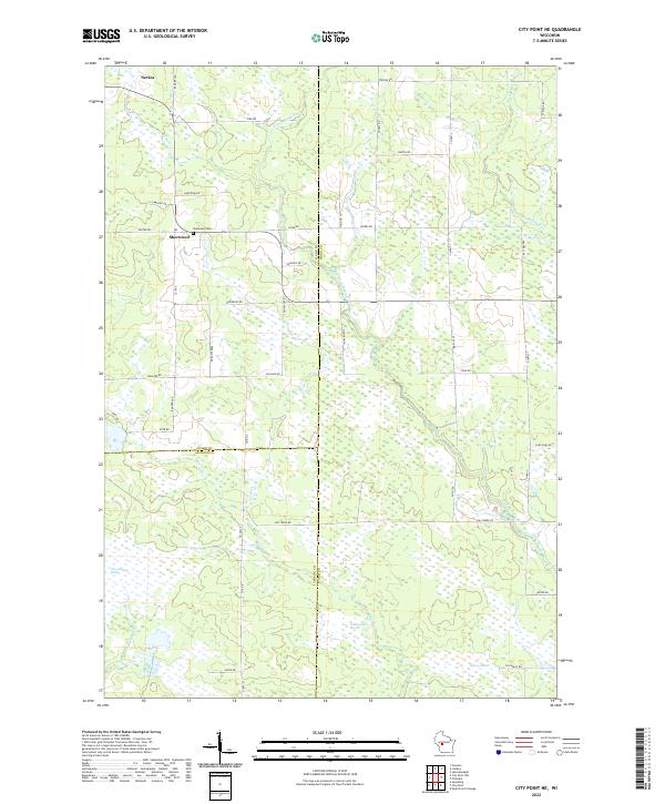 2022 City Point NE2022 Print · USGSWisconsin's marshlands at the junction of Wood, Clark, and Jackson counties are captured in this modern survey. Genealogists and local historians can trace family locations near the Sherwood Cem and the small settlements of Sherwood and Nevins.
 - 2022 Map of Granton, 2022 Print
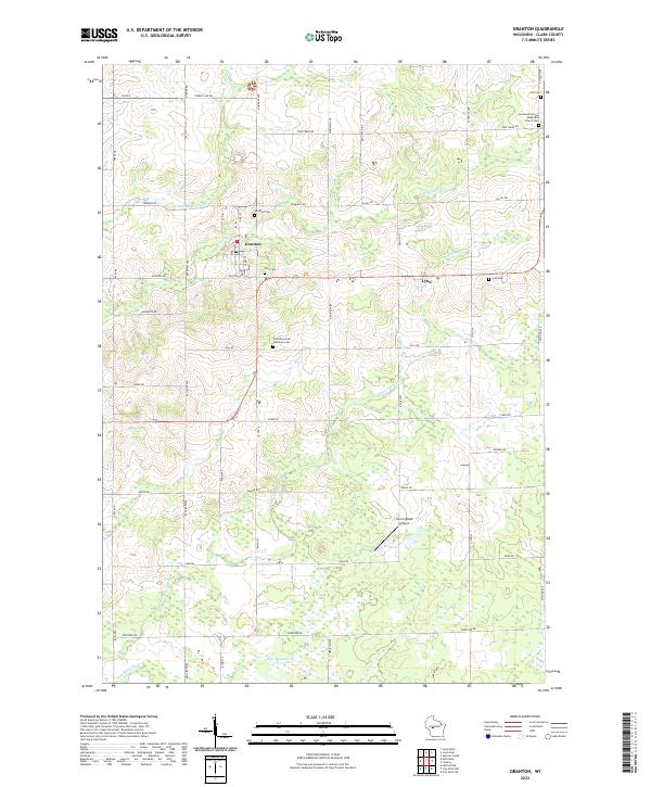 2022 Granton2022 Print · USGSGranton and the surrounding Clark County countryside appear in this contemporary survey of central Wisconsin. Researchers can trace local genealogy at Windfall Cem, Lynn Cem, or Yolo Cem and locate rural landmarks like Cunningham Airport.
 - 2022 Map of City Point NW, 2022 Print
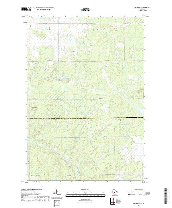 2022 City Point NW2022 Print · USGSCentral Wisconsin's wetland and river systems are shown in detail during the early 2020s. Researchers can trace the watercourse of the East Fork Black River and locate the crossroads settlement of Pray near Brushy Ridge.
End of results
Showing maps 1-20 of 20
Top cities near Sherwood
- Marshfield historical maps
- Neillsville historical maps
- McMillan historical maps
- Lynn historical maps
- Granton historical maps
- City Point historical maps
See more
Top neighborhoods of Sherwood
Frequently asked questions
- What are the different types of historical maps available for Sherwood?
- What is the oldest map of Sherwood?
- Where can I purchase historical maps of Sherwood for my home or office?
- Where can I download high-res historical maps of Sherwood?
- Are there historical topographic maps available for Sherwood?
- Is there historical aerial imagery available for Sherwood?
- Where are historical maps of Sherwood sourced from?