Old Maps of Calamus, Wisconsin for Hiking & Exploration
Hike through history with 31 historic maps of Calamus. Explore old trails, ghost towns, and forgotten backroads — perfect for outdoor adventurers and local explorers.
- Rediscover forgotten places: Map out old mining camps, roads, and footpaths that no longer exist on modern maps.
- Layer with modern tools: Combine with LiDAR or satellite views to plan hikes through historical terrain.
- Made for exploration: Popular among hikers, overlanders, and local history lovers.
Use these maps to find adventure and explore the hidden past of Calamus.
Calamus, WI maps
(31)- 1955 Map of Columbus, 1956 Print
 1955 Columbus1956 Print · USGSColumbia County’s dairy and rail corridor is captured here in the mid-fifties, centered on the growing community of Columbus. Genealogists can trace family names at St Joseph Cem or locate the many country schools like McKinley Sch and Hampden Sch.2 unique versions available
 - 1955 Map of Beaver Dam, 1957 Print
 1955 Beaver Dam1957 Print · USGSDodge County's rich agricultural and rail landscape is captured here in the mid-1950s. Genealogists can trace family roots through dozens of rural landmarks, from St Columbkille Cem to local schoolhouses like English Prairie Sch and Jackson Sch.2 unique versions available
 - 1957 Map of Madison, 1967 Print
 1957 Madison1967 Print · USGSSouth-central Wisconsin in the mid-fifties reveals a landscape of industrial hubs and glacial lakes linked by a dense rail and highway network. Genealogists and historians can trace the development of lakeside communities and find notable sites like Badger Ordnance Works and the Horicon National Wildlife Refuge.3 unique versions available
 - 1960 Map of Madison
 1960 Madison1960 Print · USGSCentral and Southern Wisconsin are captured in the late fifties, showing the region as its rail-and-river network matured. Trace the paths of the Soo Line RR or locate family roots near Lake Mendota and Horicon National Wildlife Refuge.2 unique versions available
 - 1980 Map of Lost Lake
 1980 Lost Lake1980 Print · USGSThe rolling lands of Dodge County in the late 1970s reveal a quiet landscape of lakeside settlements and rural townships. Genealogists can locate several family burial grounds including Bethany Cemetery and Salem Cemetery near the waters of Lost Lake.
 - 1980 Map of Columbus, 1981 Print
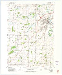 1980 Columbus1981 Print · USGSColumbus and the surrounding townships thrive along the Crawfish River during the early 1980s, where rail and river define the landscape. Local historians can trace family-named roads and rural sites like North York Cem, Townhall, and the Wisconsin Academy.
 - 1980 Map of Fall River, 1981 Print
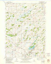 1980 Fall River1981 Print · USGSFall River and the surrounding Columbia County wetlands appear in this 1980s-era survey during a time of steady agricultural and rail activity. Trace local family history and rural development through landmarks like St Stephen Cem, Courtland Ch, and the Milwaukee Road rail line.
 - 1980 Map of Astico, 1981 Print
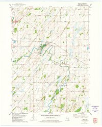 1980 Astico1981 Print · USGSDodge County's river valleys and rail corridors appear in high detail during the 1980s, centered on the settlement of Astico. Genealogists can locate family landmarks such as Bethel Cem and St Columbkille Ch, or trace the winding Crawfish River.
 - 1984 Map of Oconomowoc, 1985 Print
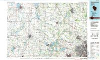 1984 Oconomowoc1985 Print · USGSSoutheast Wisconsin in the mid-eighties shows a landscape defined by its glacial heritage and expanding metropolitan corridors. Genealogists and historians can trace the development of lakeside communities like Oconomowoc and Pewaukee, or find established settlements such as Watertown and Beaver Dam.
 - 1991 Map of Oconomowoc
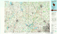 1991 Oconomowoc1991 Print · USGSSoutheastern Wisconsin in the early nineties shows a landscape of glacial lakes and growing suburbs. Trace local history through Aztalan State Park, Carroll College, and the sprawling Horicon Marsh State Wildlife Area.
 - 1991 Map of Madison
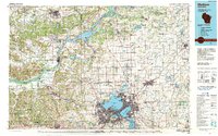 1991 Madison1991 Print · USGSMadison and its iconic glacial lakes are captured here during a time of steady urban expansion and regional growth. Researchers can trace the mid-century development of the University of Wisconsin, locate family sites near Forest Hill Cem, or explore the footprint of the Badger Army Ammunition Plant.
 - 2010 Map of Columbus, 2010 Print
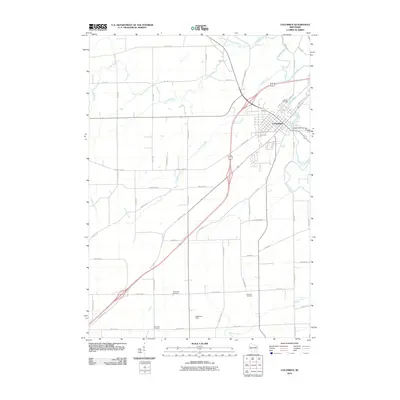 2010 Columbus2010 Print · USGSThe community of Columbus is shown at a modern crossroads in the early twenty-first century, where the river and rail lines meet. Genealogists can locate several burial grounds including Hillside Cemetery and Oak Lawn Cemetery, or trace the Udeys WP73 Dam and Math-Aire Field.
 - 2010 Map of Fall River, 2010 Print
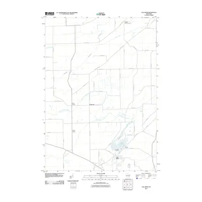 2010 Fall River2010 Print · USGSNear the turn of the decade, the Columbia County landscape centers on the community of Fall River and its surrounding agricultural tracts. Genealogists can trace family connections at the Courtland Methodist Episcopal Cemetery or Saint Stephen Cemetery near Englewood.
 - 2010 Map of Astico, 2010 Print
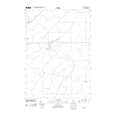 2010 Astico2010 Print · USGSDodge County's river-bottom lands are shown in great detail during the early twenty-first century as the Crawfish River meanders past quiet settlements. Researchers can trace local heritage through several sites like Danville Dam, Okeag Cemetery, and Austin Cemetery.
 - 2010 Map of Lost Lake, 2010 Print
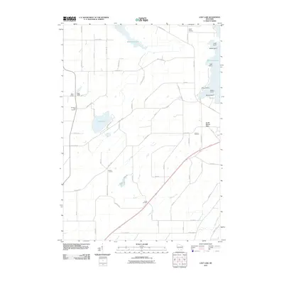 2010 Lost Lake2010 Print · USGSDodge County's rural landscape is captured here just after the first decade of the new millennium, showcasing a network of family farms and lakeside properties. Researchers can locate several pioneer-era burial sites like English Prairie Cemetery or explore the cluster of islands in Beaver Dam Lake, such as Hupf Island and Millers Island.
 - 2013 Map of Lost Lake, 2013 Print
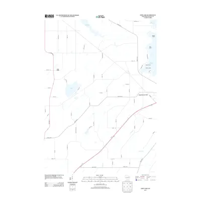 2013 Lost Lake2013 Print · USGSDodge County in the early 2010s shows a landscape of glacial lakes and dairy-country roads. Genealogists and local historians can trace the shoreline developments near South Beaver Dam and locate properties along Calamus Cr or Lost Lake.
 - 2013 Map of Astico, 2013 Print
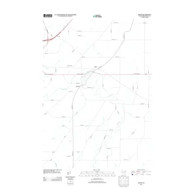 2013 Astico2013 Print · USGSDodge County's rural landscape is documented here in the early twenty-first century as the Crawfish River winds past small communities. Trace family roots and local landmarks near Astico, Danville, and the intriguing Ghost Hill Rd.
 - 2013 Map of Fall River, 2013 Print
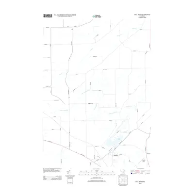 2013 Fall River2013 Print · USGSFall River and the surrounding Columbia County countryside are shown here in the early twenty-first century as the area maintains its rural character. Researchers can trace the development of Fall River and Englewood, or locate local landmarks like Lazy Lake and Fountain Prairie Airport.
 - 2013 Map of Columbus, 2013 Print
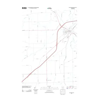 2013 Columbus2013 Print · USGSThe river town of Columbus is captured here in the early 2010s, showing a detailed layout of its residential streets and rural outskirts. Local historians can trace family-named routes and landmarks like Mathaire Field Airport and the winding Crawfish River.
 - 2015 Map of Lost Lake, 2015 Print
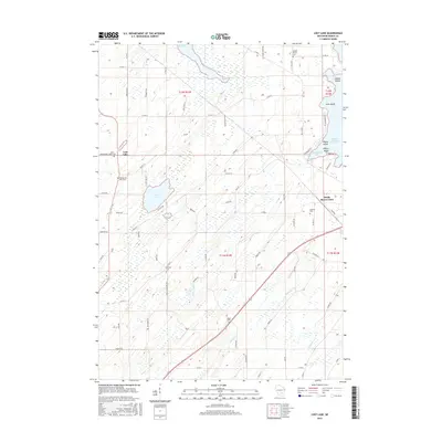 2015 Lost Lake2015 Print · USGSWisconsin’s agricultural heartland is documented in the mid-2010s, showing a landscape defined by glacial waters and rural homesteads. Genealogists and local historians can trace the shoreline of Lost Lake and the small settlement that shares its name.
 - 2015 Map of Astico, 2015 Print
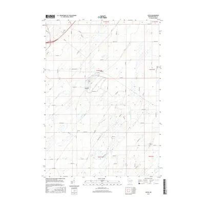 2015 Astico2015 Print · USGSDodge County, Wisconsin, is documented here in the mid-2010s as a landscape of river-fed millponds and quiet country crossroads. Researchers can locate several burial sites like Okeeg Cem or Elba Cem while tracing the winding Crawfish River through the heart of Danville.
 - 2016 Map of Fall River, 2016 Print
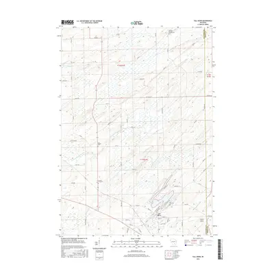 2016 Fall River2016 Print · USGSFall River and the surrounding dairy country are captured here in the mid-2010s as the landscape remains tied to its glacial waterways. Genealogists can locate several historic burial grounds, including Courtland Methodist Episcopal Cem, Saint Stephen Cem, and Fountain Prairie Cem.
 - 2016 Map of Columbus, 2016 Print
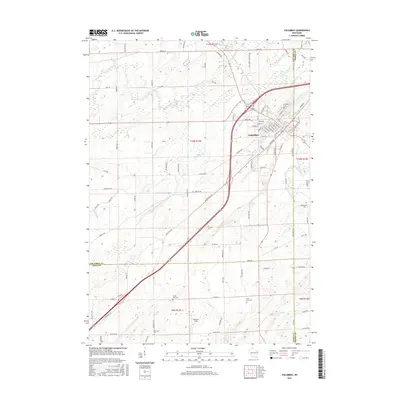 2016 Columbus2016 Print · USGSWisconsin's southern prairie and river lands are documented here in 2016, centered on the growing town of Columbus. Researchers can trace local lineage through rural burial sites like Hillside Cem or follow the path of the Crawfish River and Mill Pond.
 - 2018 Map of Lost Lake, 2018 Print
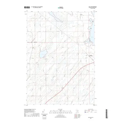 2018 Lost Lake2018 Print · USGSDodge County's glacial wetlands and quiet farmsteads are documented here in the late 2010s. Researchers can trace family roots through several local burial sites like Bethany Cem and Calamus Cem, or explore the shoreline of Beaver Dam Lake.
 - 2018 Map of Astico, 2018 Print
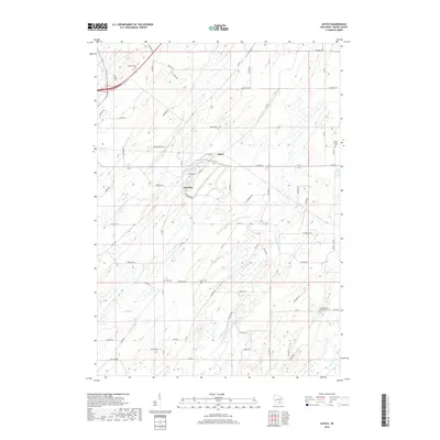 2018 Astico2018 Print · USGSThe rolling Dodge County landscape near Astico and Danville is shown here in the late 2010s. Genealogists can trace rural roots through numerous burial grounds like Elba Cem, Austin Cem, and Evangelical Reformed Cem.
Showing maps 1-25 of 31
Top cities near Calamus
- Beaver Dam historical maps
- Watertown historical maps
- Columbus historical maps
- Waupun historical maps
- Waterloo historical maps
- Juneau historical maps
See more
Top neighborhoods of Calamus
Frequently asked questions
- What are the different types of historical maps available for Calamus?
- What is the oldest map of Calamus?
- Where can I purchase historical maps of Calamus for my home or office?
- Where can I download high-res historical maps of Calamus?
- Are there historical topographic maps available for Calamus?
- Is there historical aerial imagery available for Calamus?
- Where are historical maps of Calamus sourced from?