Old Maps of Baileys Harbor, Wisconsin for Genealogy
Trace your family roots with 29 historic maps of Baileys Harbor. These high-res maps reveal old neighborhoods, homesites, landmarks, and streets — helping you uncover where your ancestors lived and how the area evolved over time.
- Explore historic neighborhoods: Identify where your relatives may have lived in the 1800s or 1900s.
- Compare maps over time: Trace the changes in streets, buildings, and landmarks for multi-generational research.
- Perfect for genealogy & ancestry research: Used by family historians and researchers to map out lineage and migration.
These maps are an incredible resource for exploring your personal connection to Baileys Harbor's past.
Baileys Harbor, WI maps
(29)- 1954 Map of Escanaba, 1967 Print
 1954 Escanaba1967 Print · USGSThe Upper Peninsula and Door County shorelines meet here in the mid-fifties, showing the vital maritime and timber networks of the Great Lakes. Researchers can trace historic rail lines, old fire lookouts like the Stonington Fire Tower, and island settlements such as Washington Island.2 unique versions available
 - 1957 Map of Escanaba
 1957 Escanaba1957 Print · USGSThe Upper Peninsula and Door County shorelines meet in the mid-fifties, capturing a landscape of timber, iron, and maritime trade. Genealogists and local historians can trace the Chicago & North Western RR through settlements like Hermansville or locate St Vitals Church and the Potawatome Indian Reservation.
 - 1958 Map of Escanaba
 1958 Escanaba1958 Print · USGSNorthern Lake Michigan maritime commerce and timberlands are captured here in the mid-fifties. Genealogists and historians can trace rail networks like the Escanaba and Lake Superior or locate island settlements such as Detroit Harbor and Fish Creek.
 - 1960 Map of Sister Bay, 1962 Print
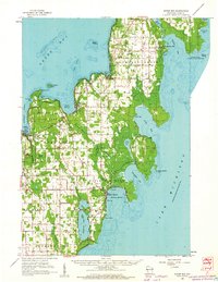 1960 Sister Bay1962 Print · USGSThe Door Peninsula's mid-century landscape is defined here by its coastal villages and timbered interiors during the 1960s. Researchers can locate local landmarks like the Settlement School, Boynton Chapel, and the historic Cana Island light.2 unique versions available
 - 1981 Map of Marinette, 1982 Print
 1981 Marinette1982 Print · USGSThe Menominee River valley and Door County peninsula are captured here in the early 1980s, showcasing the region's timber and maritime foundations. Researchers can trace historic shorelines from Fish Creek to Deathdoor Bluff or locate inland landmarks like Lake Noquebay and Kangaroo Lake.
 - 1982 Map of Baileys Harbor West, 1983 Print
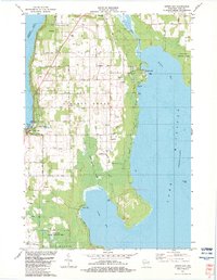
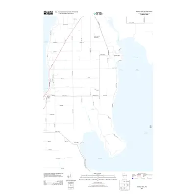
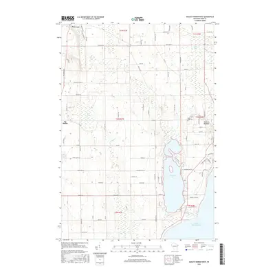
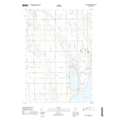
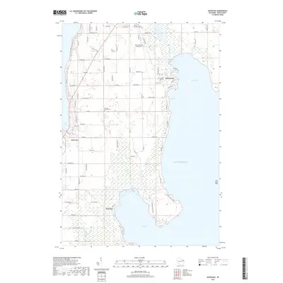
 1982 Baileys Harbor West1983 Print · USGSThe Door County peninsula in the early eighties shows a landscape of wetlands and thriving local communities. Genealogists and researchers can trace family lands along Juddville Road, locate Zion Ch, or explore the shores of Kangaroo Lake.
 - 1982 Map of Baileys Harbor East, 1983 Print
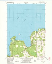
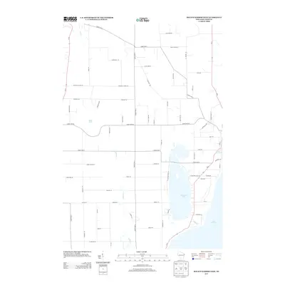
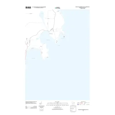
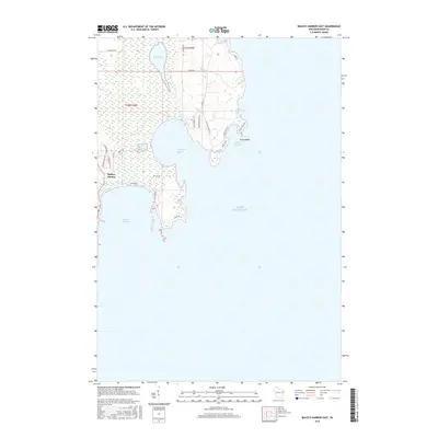
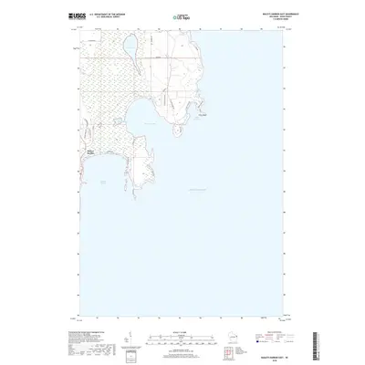
 1982 Baileys Harbor East1983 Print · USGSThe Door County coast in the early eighties featured a quiet landscape of maritime navigation and inland wetlands. You can trace the shoreline from Cana Island to Baileys Harbor, locating old Gravel Pits and public lands like Anclam Park.
 - 1982 Map of Sister Bay, 1983 Print
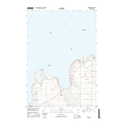
 1982 Sister Bay1983 Print · USGSThe northern Door Peninsula comes into focus in the early eighties as a hub of conservation and coastal life. Researchers can trace local heritage at Ellison Bay Cem or explore the wild margins of the Mink River and Newport State Park.
 - 1982 Map of Ephraim, 1983 Print
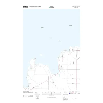
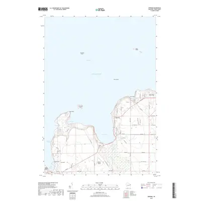
 1982 Ephraim1983 Print · USGSDoor County's shoreline thrives in the early eighties as a mix of maritime heritage and vacation life. Researchers can locate historic sites like Blossomburg Cem, the Pioneer Sch, and the Light on Horseshoe Island.
 - 2010 Map of Baileys Harbor East, 2010 Print
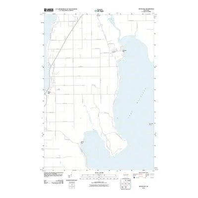
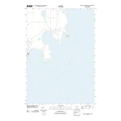 2010 Baileys Harbor East2010 Print · USGSCovers Baileys Harbor, including Door County, United States, and other nearby areas
 - 2010 Map of Baileys Harbor West, 2010 Print
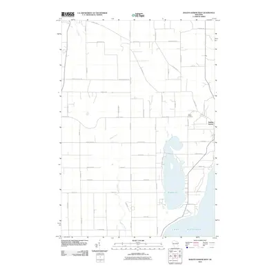 2010 Baileys Harbor West2010 Print · USGSCovers Baileys Harbor, including Jacksonport, Juddville, and other nearby areas
 - 2010 Map of Ephraim, 2010 Print
 2010 Ephraim2010 Print · USGSCovers Baileys Harbor, including Sister Bay, Ephraim, and other nearby areas
 - 2010 Map of Sister Bay, 2010 Print
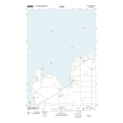
 2010 Sister Bay2010 Print · USGSCovers Baileys Harbor, including Sister Bay, North Bay, and other nearby areas
 - 2013 Map of Baileys Harbor West, 2013 Print
 2013 Baileys Harbor West2013 Print · USGSCovers Baileys Harbor, including Jacksonport, Juddville, and other nearby areas
 - 2013 Map of Sister Bay, 2013 Print
 2013 Sister Bay2013 Print · USGSCovers Baileys Harbor, including Sister Bay, North Bay, and other nearby areas
 - 2013 Map of Baileys Harbor East, 2013 Print
 2013 Baileys Harbor East2013 Print · USGSCovers Baileys Harbor, including Door County, United States, and other nearby areas
 - 2013 Map of Ephraim, 2013 Print
 2013 Ephraim2013 Print · USGSCovers Baileys Harbor, including Sister Bay, Ephraim, and other nearby areas
 - 2016 Map of Ephraim, 2016 Print
 2016 Ephraim2016 Print · USGSCovers Baileys Harbor, including Sister Bay, Ephraim, and other nearby areas
 - 2016 Map of Baileys Harbor East, 2016 Print
 2016 Baileys Harbor East2016 Print · USGSCovers Baileys Harbor, including Door County, United States, and other nearby areas
 - 2016 Map of Baileys Harbor West, 2016 Print
 2016 Baileys Harbor West2016 Print · USGSCovers Baileys Harbor, including Jacksonport, Juddville, and other nearby areas
 - 2016 Map of Sister Bay, 2016 Print
 2016 Sister Bay2016 Print · USGSCovers Baileys Harbor, including Sister Bay, North Bay, and other nearby areas
 - 2018 Map of Baileys Harbor West, 2018 Print
 2018 Baileys Harbor West2018 Print · USGSCovers Baileys Harbor, including Jacksonport, Juddville, and other nearby areas
 - 2018 Map of Sister Bay, 2018 Print
 2018 Sister Bay2018 Print · USGSCovers Baileys Harbor, including Sister Bay, North Bay, and other nearby areas
 - 2018 Map of Baileys Harbor East, 2018 Print
 2018 Baileys Harbor East2018 Print · USGSCovers Baileys Harbor, including Door County, United States, and other nearby areas
 - 2018 Map of Ephraim, 2018 Print
 2018 Ephraim2018 Print · USGSCovers Baileys Harbor, including Sister Bay, Ephraim, and other nearby areas
Showing maps 1-25 of 29
Top cities near Baileys Harbor
- Sturgeon Bay historical maps
- Sister Bay historical maps
- Jacksonport historical maps
- Washington historical maps
- Ephraim historical maps
- Egg Harbor historical maps
Top neighborhoods of Baileys Harbor
Frequently asked questions
- What are the different types of historical maps available for Baileys Harbor?
- What is the oldest map of Baileys Harbor?
- Where can I purchase historical maps of Baileys Harbor for my home or office?
- Where can I download high-res historical maps of Baileys Harbor?
- Are there historical topographic maps available for Baileys Harbor?
- Is there historical aerial imagery available for Baileys Harbor?
- Where are historical maps of Baileys Harbor sourced from?