2010s Maps of New Haven, Wisconsin
Explore 16 historic maps of New Haven from the 2010s. These maps offer a rare glimpse into what life looked like during the 2010s — showing old roads, neighborhoods, homes, and landmarks that have changed or disappeared over time.
Whether you're researching your family's past, planning a metal detecting trip, or studying how New Haven's landscape evolved across the 2010s, these high-resolution maps are a powerful tool for exploring the history of this region.
- Focus on a specific era: All maps on this page are from the 2010s, giving you a focused view of this time period.
- See what’s changed: Compare century-old streets, trails, and buildings to today's modern landscape using overlays and satellite layers.
- Research with precision: Use these maps for genealogy, historical research, land use analysis, or educational projects.
- View, download, or print: Maps are fully viewable online in high resolution, and can be downloaded or printed for your own records.
Start exploring New Haven's history through authentic maps from the 2010s. This is your window into the past.
New Haven, WI maps
(16)- 2010 Map of Glenwood City, 2010 Print
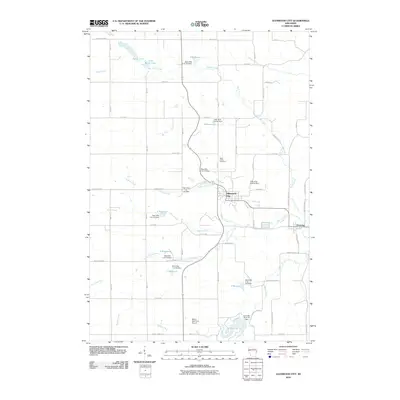 2010 Glenwood City2010 Print · USGSSaint Croix County at the start of the 2010s shows a landscape of established townships and extensive water management. Researchers can trace the layout of Glenwood City, locate Saint Johns Cemetery, and see the numerous dams and reservoirs along Tiffany Creek.
 - 2010 Map of Connorsville, 2010 Print
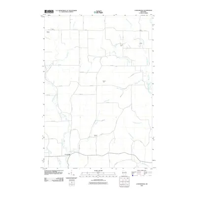 2010 Connorsville2010 Print · USGSWestern Barron County remains a quiet agricultural landscape of creek valleys and crossroads in the early twenty-first century. Genealogists and local historians can trace early settlement patterns through Reeve Cemetery, Solum Cemetery, and the hamlet of Connorsville.
 - 2010 Map of Boyceville, 2010 Print
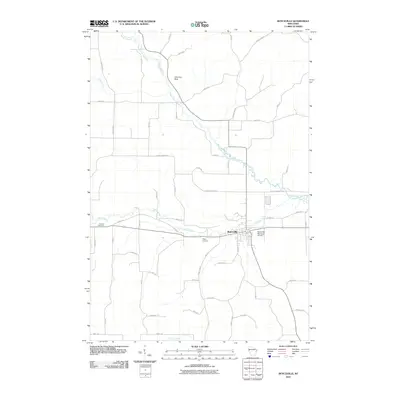 2010 Boyceville2010 Print · USGSBoyceville sits at the center of a dense network of river forks and country roads in rural Dunn County. Genealogists and local historians can trace property boundaries and visit Mound Cemetery, Tiffany Cemetery, and landmarks like Chimney Rock near the South Fork Hay River.
 - 2010 Map of Graytown, 2010 Print
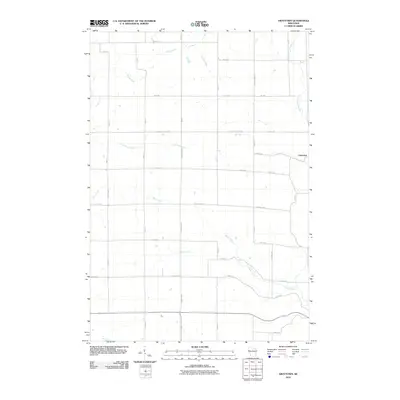 2010 Graytown2010 Print · USGSNorthwestern Wisconsin’s rural landscape is captured here at the start of the decade, centered on the small settlement of Graytown. Researchers can trace old property boundaries and drainage patterns along the Willow River, Wolf Creek, and Bolen Creek.
 - 2013 Map of Connorsville, 2013 Print
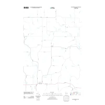 2013 Connorsville2013 Print · USGSConnorsville and the surrounding Barron County countryside are captured here in the early twenty-first century. Researchers can trace the local drainage of S Fork Hay River and Vance Cr or locate the rural Erickson Field Airport.
 - 2013 Map of Boyceville, 2013 Print
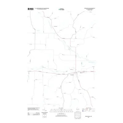 2013 Boyceville2013 Print · USGSBoyceville and its surrounding river valleys are captured here in the early twenty-first century as the area maintains its rural character. Genealogists and local historians can trace family lands along the South Fork Hay River or locate landmarks like Chimney Rock and the Boyceville Municipal Airport.
 - 2013 Map of Glenwood City, 2013 Print
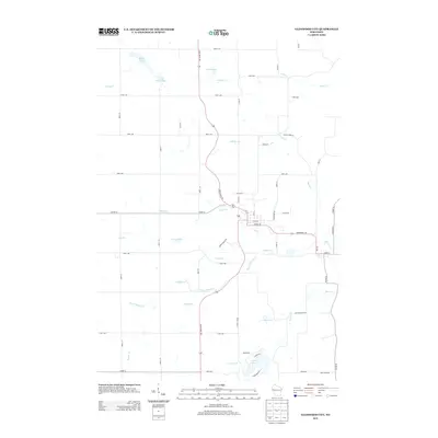 2013 Glenwood City2013 Print · USGSSaint Croix County at the start of the 2010s shows a landscape where vital water management meets rural recreation. Researchers can trace the winding paths of Tiffany Cr or locate specific lakeside features near Glen Lake 10 and Surrey Ridge Trl.
 - 2013 Map of Graytown, 2013 Print
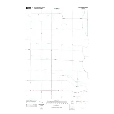 2013 Graytown2013 Print · USGSThis rural portion of Wisconsin near the Polk and Barron county line is shown as a quiet agricultural landscape in the 2010s. Genealogists and local historians can trace family land via the road grid and waterway networks like Willow River and Bolen Cr.
 - 2015 Map of Graytown, 2015 Print
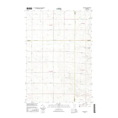 2015 Graytown2015 Print · USGSIn this 2015 study of the four-county border region, the settlements of Graytown and Reeve remain central to the local landscape. Researchers can trace the drainage patterns of Willow River and Jack Green Creek across a highly structured grid of section roads.
 - 2015 Map of Boyceville, 2015 Print
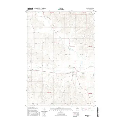 2015 Boyceville2015 Print · USGSBoyceville and the surrounding Dunn County ridges are captured here in the mid-2010s, showing a landscape shaped by the South Fork Hay River. Researchers can trace local lineages at Mound Cem or locate the distinct Chimney Rock landmark.
 - 2015 Map of Connorsville, 2015 Print
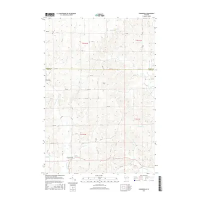 2015 Connorsville2015 Print · USGSThe rural borderlands of Barron and Dunn Counties are captured here in 2015, showing a landscape defined by the Hay River and its tributaries. Genealogists can trace family footprints at New Haven Cem or locate the small settlements of Reeve and Graytown.
 - 2015 Map of Glenwood City, 2015 Print
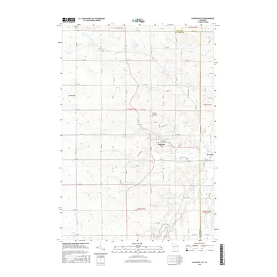 2015 Glenwood City2015 Print · USGSGlenwood City and the rural borderlands of St. Croix and Dunn Counties are documented here in the mid-2010s. Local researchers can trace the streets of Glenwood City, locate the Saint John the Baptist Catholic Cem, and explore the shoreline of Glen Lake.
 - 2018 Map of Boyceville, 2018 Print
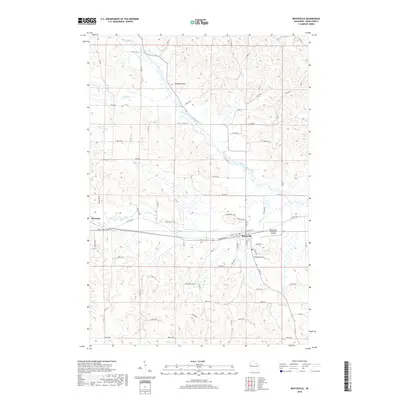 2018 Boyceville2018 Print · USGSBoyceville and Downing are documented here during the late twenty-teens, showing the intersection of rural agriculture and small-town infrastructure. Researchers can locate Mound Cem, the Boyceville Municipal Airport, and the winding South Fork Hay River.
 - 2018 Map of Connorsville, 2018 Print
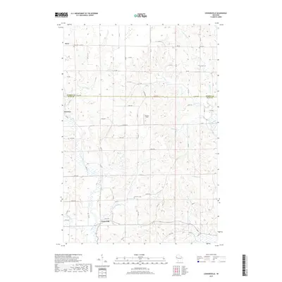 2018 Connorsville2018 Print · USGSDunn and Barron Counties are captured here in the late twenty-teens, showing the agricultural grids and river valleys of the Wisconsin countryside. Researchers can locate family heritage sites like New Haven Cem and Akers Cem or trace the paths of Connors Cr and Flauton Cr.
 - 2018 Map of Graytown, 2018 Print
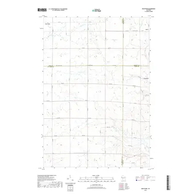 2018 Graytown2018 Print · USGSThe rural borders of Polk, Barron, St. Croix, and Dunn counties meet here in a landscape defined by small farming communities and river valleys. Genealogists and local historians can trace the layouts of Clear Lake, Reeve, and Graytown along the Willow River and Bolen Cr.
 - 2018 Map of Glenwood City, 2018 Print
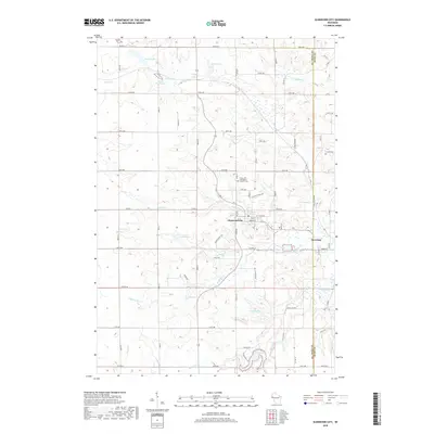 2018 Glenwood City2018 Print · USGSThe borderlands of Saint Croix and Dunn Counties come into focus in the late 2010s, centered on the historic streets of Glenwood City and Downing. Genealogists and local historians can trace family plots at Saint John the Baptist Catholic Cem or follow the waters of Tiffany Cr to Glen Lake.
End of results
Showing maps 1-16 of 16
Top cities near New Haven
- Barron historical maps
- Town of Tainter historical maps
- Tainter historical maps
- Red Cedar historical maps
- Woodville historical maps
- Glenwood City historical maps
See more
Top neighborhoods of New Haven
Frequently asked questions
- What are the different types of historical maps available for New Haven?
- What is the oldest map of New Haven?
- Where can I purchase historical maps of New Haven for my home or office?
- Where can I download high-res historical maps of New Haven?
- Are there historical topographic maps available for New Haven?
- Is there historical aerial imagery available for New Haven?
- Where are historical maps of New Haven sourced from?