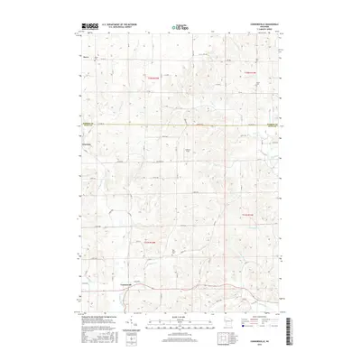
2015 Map of Connorsville
USGS Topo · Published 2015About this map
Connorsville serves as a primary hub in this rural landscape where the border of Barron and Dunn Counties meets. The topography is defined by an intricate network of waterways, most notably the Hay River and its South Fork, which carve through the terrain alongside Vance Creek and Big Beaver Creek. These drainages dictate the local road grid, which includes family-named routes like Akers Road West and Teigen Road. For those researching local lineages, the map identifies several key burial sites, including Reeve Cem, Akers Cem, Solum Cem, and New Haven Cem. Small settlements like Reeve and Graytown appear as quiet crossroads, while Erickson Field stands as a distinct landmark in the central northern section.
Find a feature on this map
71 named features on this map. Tap any name to fly to it.
Don’t see what you’re looking for? This feature index may not catch every label — zoom into the map to look around manually.
Map Details
Editions of this 2015 Connorsville Map
This is the sole edition of this map. No revisions or reprints were ever made.
Other maps of this area

1948 · Downing
USGS Topo · 1:62,500

1949 · Ridgeland
USGS Topo · 1:62,500

1950 · Downing
USGS Topo · 1:62,500

1950 · Turtle Lake
USGS Topo · 1:62,500

1951 · Ridgeland
USGS Topo · 1:62,500

1951 · Barron
USGS Topo · 1:62,500

1952 · Turtle Lake
USGS Topo · 1:62,500

1953 · Rice Lake
USGS Topo · 1:250,000

1953 · Stillwater
USGS Topo · 1:250,000

1955 · Stillwater
USGS Topo · 1:250,000