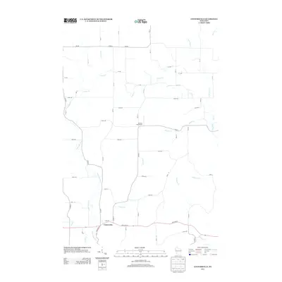
2013 Map of Connorsville
USGS Topo · Published 2013About this map
Connorsville serves as the primary settlement hub in this rural Wisconsin landscape, situated at the junction of State Road 64 and State Road 79. The area is defined by a dense network of waterways, with the S Fork Hay River and Vance Cr carving through the agricultural terrain. To the north, Erickson Field Airport stands out as a localized landmark amongst a grid of county highways and avenues, including Co Hwy-V and Co Hwy-A. This map reveals a transition from the structured road grid to the winding paths of numerous smaller tributaries such as Quarter Cr, Flayton Cr, and Little Beaver Cr. The hydrography here suggests a landscape heavily influenced by these natural drainage patterns, which dictate the placement of roads and homesteads across this part of Barron County.
Find a feature on this map
39 named features on this map. Tap any name to fly to it.
Don’t see what you’re looking for? This feature index may not catch every label — zoom into the map to look around manually.
Map Details
Editions of this 2013 Connorsville Map
This is the sole edition of this map. No revisions or reprints were ever made.
Other maps of this area

1948 · Downing
USGS Topo · 1:62,500

1949 · Ridgeland
USGS Topo · 1:62,500

1950 · Downing
USGS Topo · 1:62,500

1950 · Turtle Lake
USGS Topo · 1:62,500

1951 · Ridgeland
USGS Topo · 1:62,500

1951 · Barron
USGS Topo · 1:62,500

1952 · Turtle Lake
USGS Topo · 1:62,500

1953 · Rice Lake
USGS Topo · 1:250,000

1953 · Stillwater
USGS Topo · 1:250,000

1955 · Stillwater
USGS Topo · 1:250,000