Old Maps of Fern, Wisconsin for Hiking & Exploration
Hike through history with 19 historic maps of Fern. Explore old trails, ghost towns, and forgotten backroads — perfect for outdoor adventurers and local explorers.
- Rediscover forgotten places: Map out old mining camps, roads, and footpaths that no longer exist on modern maps.
- Layer with modern tools: Combine with LiDAR or satellite views to plan hikes through historical terrain.
- Made for exploration: Popular among hikers, overlanders, and local history lovers.
Use these maps to find adventure and explore the hidden past of Fern.
Fern, WI maps
(19)- 1941 Map of Florence
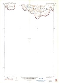
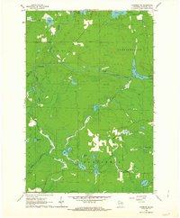
 1941 Florence1941 Print · USGSFlorence and the surrounding lake country appear in this early 1940s survey just as modern highways began to bypass the old rail corridors. Local researchers can trace rural schoolhouse locations like Fern Sch and landmarks like the Rainbow Firetower.
 - 1947 Map of Naults
 1947 Naults1947 Print · USGSThe Brule River borderland was a remote frontier of rail and timber in the late 1940s. Genealogists and historians can trace the settlement at Naults and the route of the Chicago and Northwestern railroad through the Mastodon area.
 - 1947 Map of Stager
 1947 Stager1947 Print · USGSThe Brule River forms the state boundary in the late 1940s, marking a landscape of wild waterways and essential rail lines. Trace the local rail history at Stager or explore the rugged river bends of the Brule River and the Horse Race Rapids.
 - 1954 Map of Iron Mountain, 1964 Print
 1954 Iron Mountain1964 Print · USGSUpper Michigan and Northeastern Wisconsin are shown in detail during the mid-fifties, when the logging and mining economies still moved by rail. Trace the rail lines of the Soo Line to remote stops like Koepenick Station or explore the Iron Range near Iron Mountain.2 unique versions available
 - 1959 Map of Iron Mountain
 1959 Iron Mountain1959 Print · USGSThe northwoods of Wisconsin and the Michigan border are captured here in the mid-fifties, showing a landscape defined by timber, water, and rail. Researchers can trace historic junctions like Hiles Junction, the expansive Nicolet National Forest, and lakefront settlements from Rhinelander to Tomahawk.2 unique versions available
 - 1962 Map of Florence West, 1964 Print
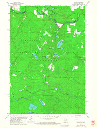
 1962 Florence West1964 Print · USGSThe Wisconsin-Michigan borderlands come alive in this early 1960s survey of the iron-rich Northwoods. You can trace the Chicago and North Western rail line past old Mines and settlements like Tyran or Ridgetop.2 unique versions available
 - 1962 Map of Florence SW, 1964 Print
 1962 Florence SW1964 Print · USGSFlorence County in the early sixties is captured here as a landscape of protected timberlands and winding waterways. Genealogists and outdoor historians can locate the community of Fern or trace the Popple River past Patten Lake and Roadside Park.2 unique versions available
 - 1962 Map of Florence SE, 1964 Print
 1962 Florence SE1964 Print · USGSFlorence County's river-cut timberlands are captured here in the early sixties, showing the landscape before modern development altered these remote woods. Researchers can trace the water levels of the Pine River Flowage and locate landmarks like the Lookout Tower and Homestead Park.2 unique versions available
 - 1962 Map of Naults, 1964 Print
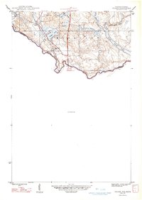
 1962 Naults1964 Print · USGSWisconsin's northern borderlands meet the Michigan state line in the early sixties, where the Brule River and Pine River wind through deep timber. Genealogists and historians can locate the Naults settlement along the Chicago and North Western tracks and identify the Florence Lookout Tower standing over a landscape of dozens of named glacial lakes.3 unique versions available
 - 1991 Map of Iron Mountain
 1991 Iron Mountain1991 Print · USGSThe Michigan-Wisconsin borderlands appear here in the early nineties, centered on the industrial corridor along the Menominee River. Local researchers can trace the Soo Line through remote timber settlements or locate mining sites like the Bradley Mine and Trader Mine.
 - 2011 Map of Naults, 2011 Print
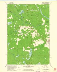
 2011 Naults2011 Print · USGSCovers Fern, including Florence, Mastodon Township, and other nearby areas
 - 2013 Map of Naults, 2013 Print
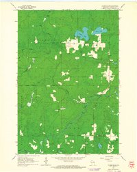
 2013 Naults2013 Print · USGSCovers Fern, including Florence, Mastodon Township, and other nearby areas
 - 2014 Map of Naults, 2014 Print
 2014 Naults2014 Print · USGSCovers Fern, including Florence, Mastodon Township, and other nearby areas
 - 2017 Map of Naults, 2017 Print
 2017 Naults2017 Print · USGSCovers Fern, including Florence, Mastodon Township, and other nearby areas
 - 2019 Map of Naults, 2019 Print
 2019 Naults2019 Print · USGSCovers Fern, including Florence, Mastodon Township, and other nearby areas
 - 2022 Map of Florence SW, 2022 Print
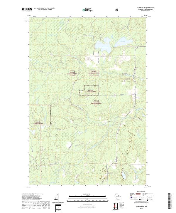 2022 Florence SW2022 Print · USGSFlorence County, Wisconsin, is documented here in the early 2020s as a landscape of deep timber and protected forest. Researchers can trace the winding Popple River and locate remote water bodies such as Patten Lake and the small crossroads at Fern.
 - 2022 Map of Florence West, 2022 Print
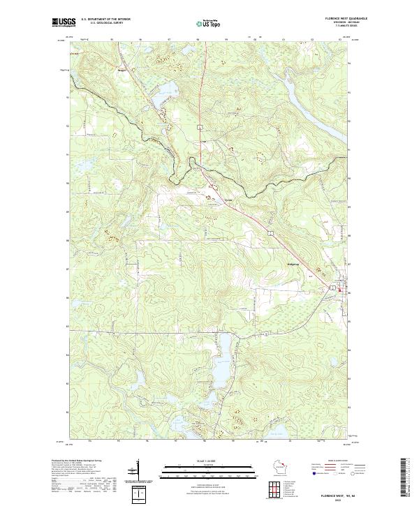 2022 Florence West2022 Print · USGSThe Wisconsin-Michigan border comes to life in the early 2020s, showing the intricate river systems and lakefront communities of Florence County. Researchers can trace local landmarks like Keyes Lake and Sea Lion Lake, or locate the settlements of Stager and Tyran.
 - 2022 Map of Florence SE, 2022 Print
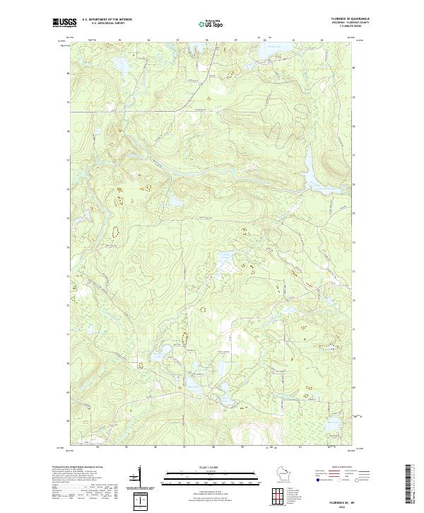 2022 Florence SE2022 Print · USGSSoutheastern Florence County in the early 2020s remains a landscape defined by its deep woods and managed waterways. Trace the complex hydrography of the Pine River through landmarks like Breakwater Falls and the Pine River Flowage.
 - 2023 Map of Naults, 2023 Print
 2023 Naults2023 Print · USGSThe Michigan-Wisconsin borderlands are shown here in the 2020s, dominated by the timber and water of the Whisker Lake Wilderness. You can trace old routes near the settlement of Naults or locate remote water bodies like Camp Thirteen Lake and Boot Lake.
End of results
Showing maps 1-19 of 19
Top cities near Fern
- Crystal Falls historical maps
- Laona historical maps
- Dunbar historical maps
- Aurora historical maps
- Goodman historical maps
- Mastodon historical maps
See more
Frequently asked questions
- What are the different types of historical maps available for Fern?
- What is the oldest map of Fern?
- Where can I purchase historical maps of Fern for my home or office?
- Where can I download high-res historical maps of Fern?
- Are there historical topographic maps available for Fern?
- Is there historical aerial imagery available for Fern?
- Where are historical maps of Fern sourced from?