Old Maps of Crandon, Wisconsin for Genealogy
Trace your family roots with 18 historic maps of Crandon. These high-res maps reveal old neighborhoods, homesites, landmarks, and streets — helping you uncover where your ancestors lived and how the area evolved over time.
- Explore historic neighborhoods: Identify where your relatives may have lived in the 1800s or 1900s.
- Compare maps over time: Trace the changes in streets, buildings, and landmarks for multi-generational research.
- Perfect for genealogy & ancestry research: Used by family historians and researchers to map out lineage and migration.
These maps are an incredible resource for exploring your personal connection to Crandon's past.
Crandon, WI maps
(18)- 1939 Map of Crandon, 1955 Print
 1939 Crandon1955 Print · USGSForest County during the late 1930s was a critical junction of logging railroads and lakeside settlements. Genealogists and historians can trace rural school districts like Siding No 1 Sch and early infrastructure around Wisconsin Junction and Hiles Mill Pond.2 unique versions available
 - 1941 Map of Crandon
 1941 Crandon1941 Print · USGSForest County's timberlands and rail lines are mapped here in the years following the Great Depression. Genealogists can trace rural school locations like Kokoma Sch and the Argonne Cem, while following the old tracks of the St Paul and Sault Ste Marie railroad.
 - 1947 Map of Crandon
 1947 Crandon1947 Print · USGSForest County's timber and rail economy is on full display in the late 1940s, centered on the crossroads at Crandon. Genealogists can trace family roots through rural landmarks like the Argonne Cem and local schoolhouses including Sherman Sch and Kokoma Sch.
 - 1954 Map of Iron Mountain, 1964 Print
 1954 Iron Mountain1964 Print · USGSUpper Michigan and Northeastern Wisconsin are shown in detail during the mid-fifties, when the logging and mining economies still moved by rail. Trace the rail lines of the Soo Line to remote stops like Koepenick Station or explore the Iron Range near Iron Mountain.2 unique versions available
 - 1959 Map of Iron Mountain
 1959 Iron Mountain1959 Print · USGSThe northwoods of Wisconsin and the Michigan border are captured here in the mid-fifties, showing a landscape defined by timber, water, and rail. Researchers can trace historic junctions like Hiles Junction, the expansive Nicolet National Forest, and lakefront settlements from Rhinelander to Tomahawk.2 unique versions available
 - 1965 Map of Crandon, 1966 Print
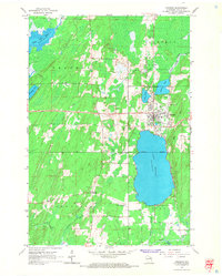 1965 Crandon1966 Print · USGSForest County in the mid-sixties reveals a landscape defined by timber history and sprawling glacial lakes. Researchers can trace the legacy of the logging era through an Old Railroad Grade and locate family landmarks like Lakeside Cemetery or the rural junction at Sherman Corners.2 unique versions available
 - 1965 Map of Lake Lucerne, 1967 Print
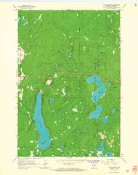 1965 Lake Lucerne1967 Print · USGSForest County's dense northern woodlands are captured here during the mid-sixties, showing the rugged lake-and-hill country of the Nicolet National Forest. You can locate landmarks like the Lookout Tower on Sugarbush Hill and the remote Boy Scout Camp on the shores of Hardwood Lake.2 unique versions available
 - 1991 Map of Iron Mountain
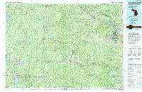 1991 Iron Mountain1991 Print · USGSThe Michigan-Wisconsin borderlands appear here in the early nineties, centered on the industrial corridor along the Menominee River. Local researchers can trace the Soo Line through remote timber settlements or locate mining sites like the Bradley Mine and Trader Mine.
 - 2010 Map of Crandon, 2010 Print
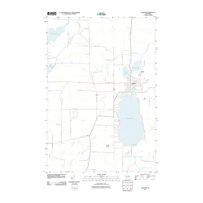 2010 Crandon2010 Print · USGSCrandon was established as a Northwoods hub between the sprawling shores of Metonga Lake and Peshtigo Lake. Researchers can trace the town's footprint near Lakeside Cemetery, locate the rural junction at Sherman Corners, or follow the course of the Wolf River.
 - 2011 Map of Lake Lucerne, 2011 Print
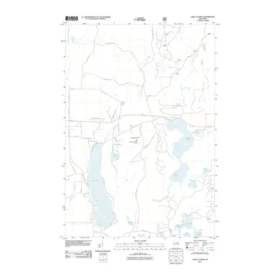 2011 Lake Lucerne2011 Print · USGSForest County's lake-rich landscape is captured here in the early twenty-first century, showing a network of remote waters and timber trails. Researchers can locate landmarks like the Rat Lake Permanent Lookout Station and the shores of Lake Lucerne.
 - 2013 Map of Crandon, 2013 Print
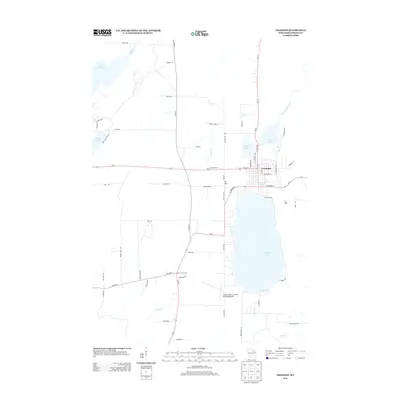 2013 Crandon2013 Print · USGSCrandon and its surrounding lake country are shown here in the early twenty-first century as the community grew around the shores of Metonga Lake. Researchers can trace local landmarks like Sherman Corners, the Crandon/Steve Conway Municipal Airport, and the headwaters of the Wolf River.
 - 2013 Map of Lake Lucerne, 2013 Print
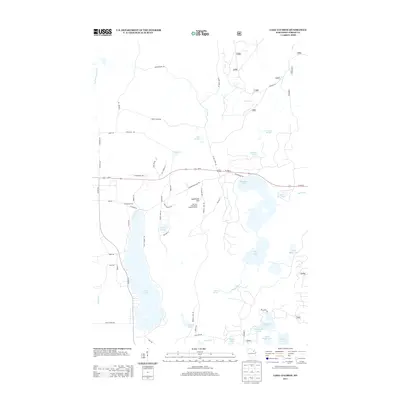 2013 Lake Lucerne2013 Print · USGSThe Wisconsin Northwoods around Lake Lucerne appear here in the early 2010s, showing a landscape of dense forests and glacial lakes. Local historians can trace the network of forest roads and landmarks like Sugarbush Hill and the Rat Lake Permanent Lookout Station.
 - 2015 Map of Lake Lucerne, 2015 Print
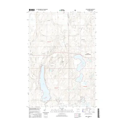 2015 Lake Lucerne2015 Print · USGSForest County's lake-heavy landscape is captured here in the mid-2010s, showing the intersection of Nicolet National Forest and local development. Researchers can trace forest access routes and shoreline features along Lake Lucerne, Wabikon Lake, and Sugarbush Hill.
 - 2015 Map of Crandon, 2015 Print
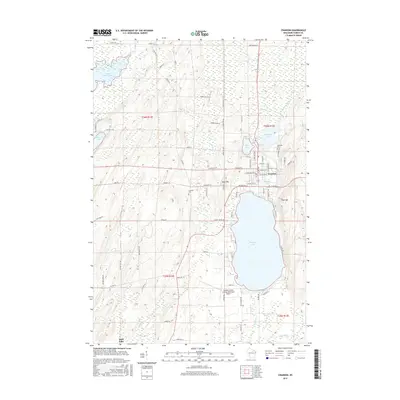 2015 Crandon2015 Print · USGSCrandon and its surrounding lake country are shown here in the mid-2010s, capturing the city's relationship with the Forest County landscape. Genealogy and local history researchers can trace sites like Lakeside Cem and the shoreline of Metonga Lake.
 - 2018 Map of Crandon, 2018 Print
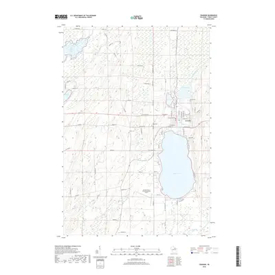 2018 Crandon2018 Print · USGSThe city of Crandon and the expansive Metonga Lake are the focal points of this 2018 survey of Forest County. Researchers can locate Lakeside Cem, the Crandon/Steve Conway Municipal Airport, and the surrounding hills and river systems.
 - 2018 Map of Lake Lucerne, 2018 Print
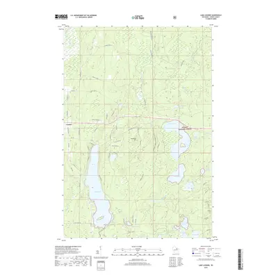 2018 Lake Lucerne2018 Print · USGSNorthern Wisconsin lake country in the late 2010s is defined by its deep woods and glacial waters near Crandon. Local historians can trace family-named routes and recreation trails around Lake Lucerne, Sugarbush Hill, and the Nicolet National Forest.
 - 2022 Map of Lake Lucerne, 2022 Print
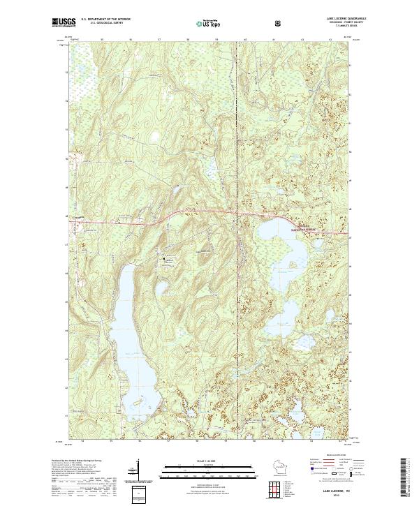 2022 Lake Lucerne2022 Print · USGSForest County's dense woodlands and glacial waters are documented here in the early 2020s, showing the area as it transitioned into the modern era. Researchers can trace the network of forest roads and trails around Lake Lucerne, Sugarbush Hill, and the Potawatomi Tribal Cem.
 - 2022 Map of Crandon, 2022 Print
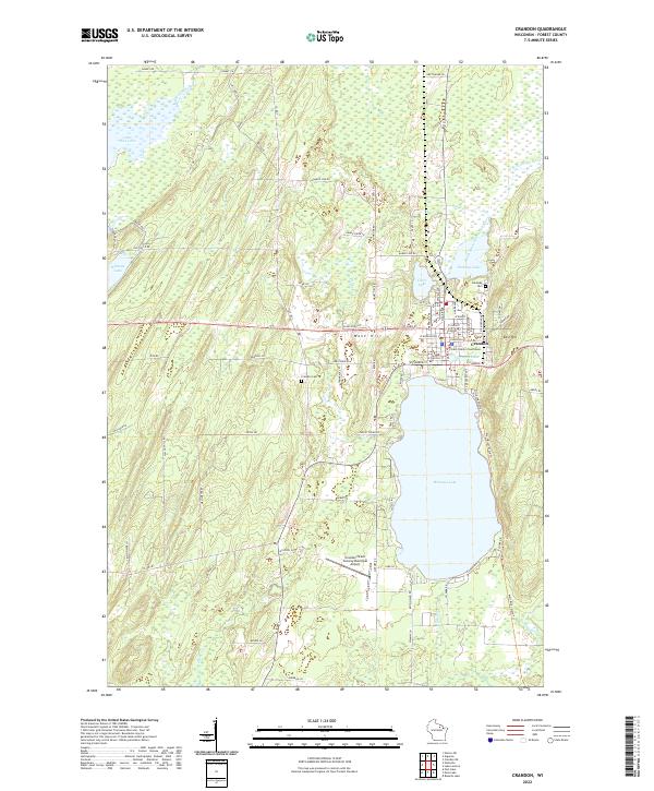 2022 Crandon2022 Print · USGSCrandon and its surrounding lake country are shown in detail during the early 2020s, centered on the historic Forest County seat. Researchers can locate the Forest County Courthouse, trace family roots at Lakeside Cem, or explore the shores of Metonga Lake and Peshtigo Lake.
End of results
Showing maps 1-18 of 18
Top cities near Crandon
- Three Lakes historical maps
- Laona historical maps
- Elcho historical maps
- Wabeno historical maps
- Nashville historical maps
- Townsend historical maps
See more
Frequently asked questions
- What are the different types of historical maps available for Crandon?
- What is the oldest map of Crandon?
- Where can I purchase historical maps of Crandon for my home or office?
- Where can I download high-res historical maps of Crandon?
- Are there historical topographic maps available for Crandon?
- Is there historical aerial imagery available for Crandon?
- Where are historical maps of Crandon sourced from?