2010s Maps of Wolf River, Wisconsin
Explore 32 historic maps of Wolf River from the 2010s. These maps offer a rare glimpse into what life looked like during the 2010s — showing old roads, neighborhoods, homes, and landmarks that have changed or disappeared over time.
Whether you're researching your family's past, planning a metal detecting trip, or studying how Wolf River's landscape evolved across the 2010s, these high-resolution maps are a powerful tool for exploring the history of this region.
- Focus on a specific era: All maps on this page are from the 2010s, giving you a focused view of this time period.
- See what’s changed: Compare century-old streets, trails, and buildings to today's modern landscape using overlays and satellite layers.
- Research with precision: Use these maps for genealogy, historical research, land use analysis, or educational projects.
- View, download, or print: Maps are fully viewable online in high resolution, and can be downloaded or printed for your own records.
Start exploring Wolf River's history through authentic maps from the 2010s. This is your window into the past.
Wolf River, WI maps
(32)- 2010 Map of Perote Lake, 2010 Print
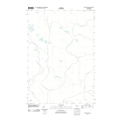 2010 Perote Lake2010 Print · USGSNorthern Wisconsin's lake country is captured here in the early twenty-first century, showing a landscape of dense waterways and forest management roads. Genealogists and outdoor historians can trace the paths of Elton Creek and locate landmarks like the Dutchman Lookout Tower or Perote Lake.
 - 2011 Map of Markton, 2011 Print
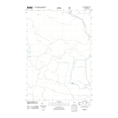 2011 Markton2011 Print · USGSOconto County's river-driven geography is on display in the early twenty-first century, centered on the Wolf River and its many tributaries. Trace the history of the timber and water landscape through features like Big Smoky Falls, Markton, and Saturday Islands.
 - 2011 Map of Lily, 2011 Print
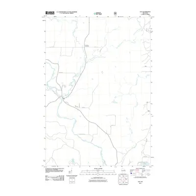 2011 Lily2011 Print · USGSLanglade County's river-cut woods are documented here during the early twenty-first century as the local road network expanded around established settlements. Researchers can locate family landmarks like the Lily Cemetery or trace the drainage of the Wolf River past Lily and Freeman.
 - 2011 Map of White Lake, 2011 Print
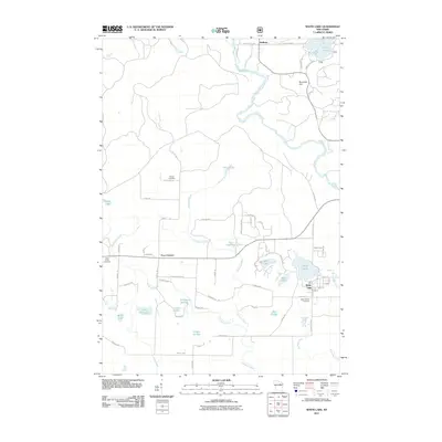 2011 White Lake2011 Print · USGSWisconsin's lake country near the Wolf River is detailed here in the early twenty-first century. Genealogists and historians can locate Saint James Cemetery, the village of White Lake, and numerous natural landmarks like Stillhouse Springs and Ninemile Hill.
 - 2011 Map of Reservoir Pond, 2011 Print
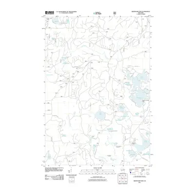 2011 Reservoir Pond2011 Print · USGSWisconsin's northern forests and glacial lakes appear in high detail during the early 2010s. Trace local landmarks like the Ada Lake Lookout Tower, the Reservoir 2 WP 463 Dam, and the Jones Spring Impoundment.
 - 2011 Map of Wabeno, 2011 Print
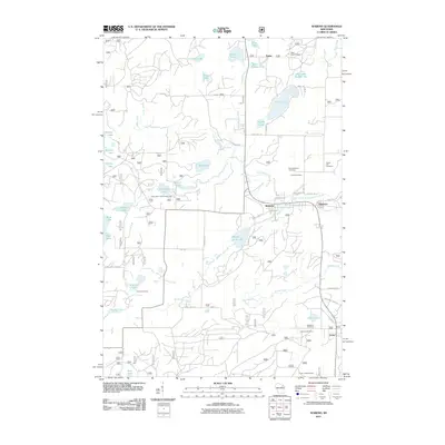 2011 Wabeno2011 Print · USGSForest County's timber and lake country is captured here during the early twenty-first century, centered on the communities of Wabeno and Soperton. Genealogists and historians can trace local family sites at Forest Hill Cemetery and Lakeview Cemetery, or locate the Padus Lookout Tower.
 - 2011 Map of Langlade, 2011 Print
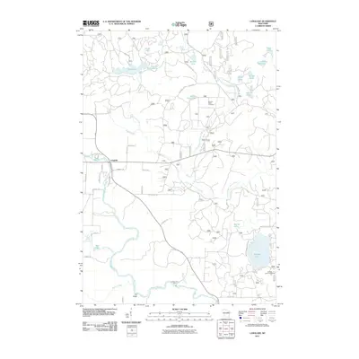 2011 Langlade2011 Print · USGSThe Wolf River and South Branch Oconto River watersheds converge in this Wisconsin wilderness during the early twenty-first century. Researchers can map out local landmarks and recreation sites like Gardner Dam Camp, Boulder Lake, and the Oconto Seed Orchards.
 - 2011 Map of Roberts Lake, 2011 Print
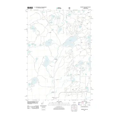 2011 Roberts Lake2011 Print · USGSForest County's Northwoods lake country is captured here in the early twenty-first century, showing a landscape defined by water and timber. Researchers can locate the historical Pig Snout Siding and trace the drainage of the Lily River near Woodlawn.
 - 2013 Map of Langlade, 2013 Print
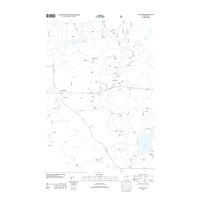 2013 Langlade2013 Print · USGSLanglade and the surrounding Northwoods are captured here in the early twenty-first century, centered on the powerful Wolf River. Trace the river's path through Crooked Rapids and Garfield Rapids, or explore local landmarks like Gardner Dam Camp and Boulder Lake.
 - 2013 Map of Roberts Lake, 2013 Print
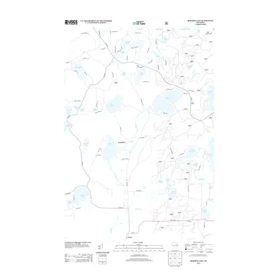 2013 Roberts Lake2013 Print · USGSForest County's lake-rich woodland is captured here in the early twenty-first century, showing the area's evolution into a mix of seasonal retreats and rural settlements. Researchers can trace the layout of Woodlawn, the rail-related Pig Snout Siding, and the winding course of the Lily River.
 - 2013 Map of Markton, 2013 Print
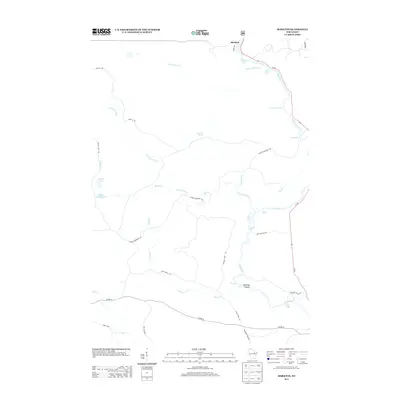 2013 Markton2013 Print · USGSThe northern woods of Wisconsin are captured here in the early twenty-first century, centered on the hydraulic power of the Wolf River. Researchers can trace the river's many named drops and rapids, from Gilmores Mistake Rapids to the dramatic Big Smoky Falls.
 - 2013 Map of Lily, 2013 Print
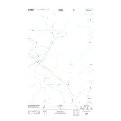 2013 Lily2013 Print · USGSLanglade County's Northwoods are captured here in the early twenty-first century as the Wolf River winds through the settlements of Lily and Freeman. Local historians can trace river-side landmarks like Saint Claire Rapids and search for the namesake Poor Farm Spring.
 - 2013 Map of White Lake, 2013 Print
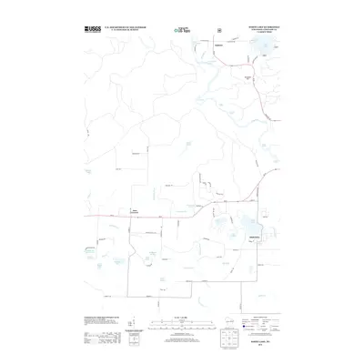 2013 White Lake2013 Print · USGSLanglade County’s lake country is documented here in the early twenty-first century, showing the established communities and intricate river systems of the Northwoods. Researchers can locate properties near White Lake, trace the Wolf River through Larzelere Rapids, or find landmarks like Ninemile Hill and Stillhouse Springs.
 - 2013 Map of Wabeno, 2013 Print
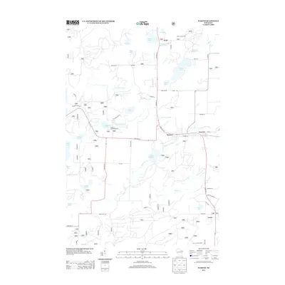 2013 Wabeno2013 Print · USGSForest County's timber and lake country is captured here during the early twenty-first century, centered on the community of Wabeno. Local researchers can locate family landmarks and rural settlements like Soperton, Carter, and the Padus Lookout Tower.
 - 2013 Map of Reservoir Pond, 2013 Print
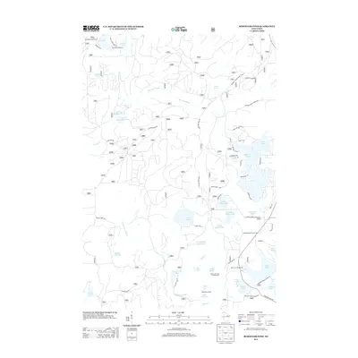 2013 Reservoir Pond2013 Print · USGSWisconsin's Northwoods are captured here in a period of established forest management and recreation near Townsend. Outdoorsmen and local historians can locate specific sites like the Ada Lake Lookout Tower, Boot Lake Campground, and the Adirondack Shelter.
 - 2013 Map of Perote Lake, 2013 Print
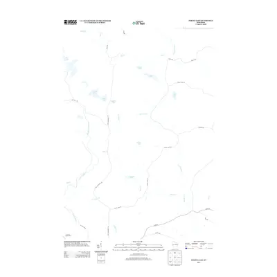 2013 Perote Lake2013 Print · USGSLanglade County's water-rich forest lands are documented here in the early twenty-first century. Researchers can trace the network of forest roads and glacial water bodies including Perote Lake, Dutchman Lookout Tower, and the Evergreen River.
 - 2015 Map of Perote Lake, 2015 Print
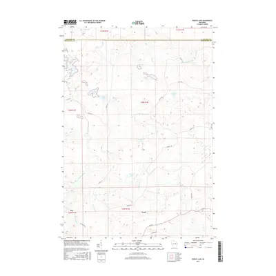 2015 Perote Lake2015 Print · USGSThe Menominee County borderlands are captured here in the mid-2010s, showcasing a landscape of dense glacial lakes and forest roads. Genealogists and local historians can trace the community layouts of Neopit and Zoar near the West Branch Wolf River.
 - 2015 Map of Markton, 2015 Print
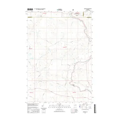 2015 Markton2015 Print · USGSThe Wolf River and Nicolet National Forest dominate this northwoods landscape during the mid-2010s. Researchers can trace the river’s descent through Gilmores Mistake Rapids, Big Smoky Falls, and the islands around Saturday Islands.
 - 2015 Map of Lily, 2015 Print
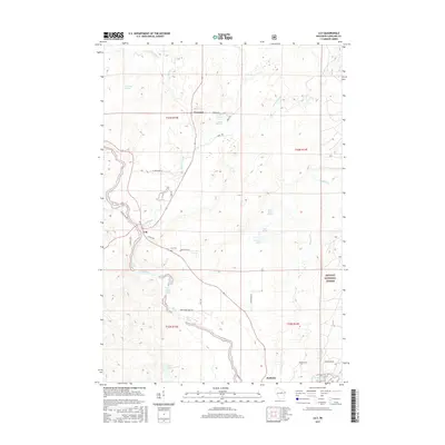 2015 Lily2015 Print · USGSLanglade County in 2015 shows a landscape defined by the winding Wolf River and the deep woods of the Nicolet National Forest. Researchers can trace rural cemeteries and river landmarks like Lily Cem, Saint Claire Rapids, and the settlement at Hollister.
 - 2015 Map of Wabeno, 2015 Print
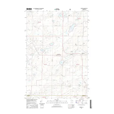 2015 Wabeno2015 Print · USGSForest County, Wisconsin, is shown here in the mid-2010s, centered on the historic timber communities and the water-rich terrain of the North Woods. Genealogists can trace family sites at Saint Ambrose Cem or Forest Hill Cem, while exploring the surroundings of Wabeno and Soperton.
 - 2015 Map of Langlade, 2015 Print
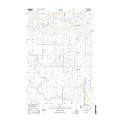 2015 Langlade2015 Print · USGSLanglade and the northern Nicolet National Forest are shown in the mid-2010s as a landscape of interconnected river systems and glacial lakes. Outdoor historians and genealogists can trace the rapids of the Wolf River and locate family landmarks near Boulder Lake and Rose Lake.
 - 2015 Map of Roberts Lake, 2015 Print
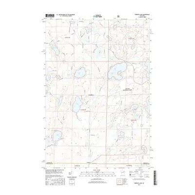 2015 Roberts Lake2015 Print · USGSForest County in the mid-2010s reveals a classic Northwoods landscape defined by the deep woods of the Nicolet National Forest. You can trace the shorelines of dozens of glacial lakes and locate small settlements like Woodlawn and Choate.
 - 2015 Map of Reservoir Pond, 2015 Print
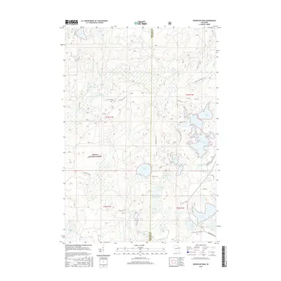 2015 Reservoir Pond2015 Print · USGSThe Nicolet National Forest lakeland is shown in detail during the mid-2010s, highlighting the intricate shoreline of the Oconto River headwaters. Researchers can trace forest access routes and waterfront developments near Reservoir Pond, Ada Lake, and the Jones Spring Impoundment.
 - 2015 Map of White Lake, 2015 Print
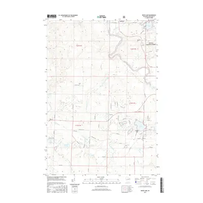 2015 White Lake2015 Print · USGSIn this northern Wisconsin timber and river country during the mid-2010s, the village of White Lake sits at the edge of the Nicolet National Forest. Researchers can trace old family burial sites at Brown Cem or follow the descent of the Wolf River through Oxbow Rapids and Hemlock Rapids.
 - 2018 Map of Perote Lake, 2018 Print
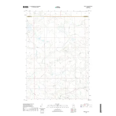 2018 Perote Lake2018 Print · USGSThe northern Wisconsin backcountry at the border of Langlade and Menominee counties is shown here as a dense network of river-fed wetlands. Researchers can trace the winding West Branch Wolf River and locate remote water bodies like Teabeau Lake and Crowell Lake.
Showing maps 1-25 of 32
Top cities near Wolf River
- Laona historical maps
- Wabeno historical maps
- Nashville historical maps
- Townsend historical maps
- Polar historical maps
- Lakewood historical maps
See more
Top neighborhoods of Wolf River
- Langlade historical maps
- Markton historical maps
- Hollister historical maps
- River Forest historical maps
- Sunny Waters historical maps
- Markton Acres historical maps
Frequently asked questions
- What are the different types of historical maps available for Wolf River?
- What is the oldest map of Wolf River?
- Where can I purchase historical maps of Wolf River for my home or office?
- Where can I download high-res historical maps of Wolf River?
- Are there historical topographic maps available for Wolf River?
- Is there historical aerial imagery available for Wolf River?
- Where are historical maps of Wolf River sourced from?