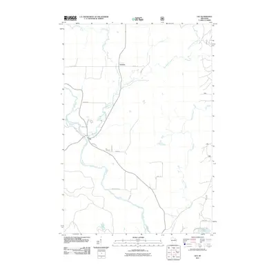
2011 Map of Lily
USGS Topo · Published 2011About this map
Wolf River and its tributaries define the hydrography of this Langlade County landscape, where the Lily River and East Branch Lily River converge near the settlement of Lily. The area is characterized by a network of local roads and landings, including Wolf River Landing, which facilitate access to the water for logging or recreation. To the north, the small settlement of Freeman sits near the crossing of County Hwy A and the river.
Find a feature on this map
29 named features on this map. Tap any name to fly to it.
Don’t see what you’re looking for? This feature index may not catch every label — zoom into the map to look around manually.
Map Details
Editions of this 2011 Lily Map
This is the sole edition of this map. No revisions or reprints were ever made.
Other maps of this area
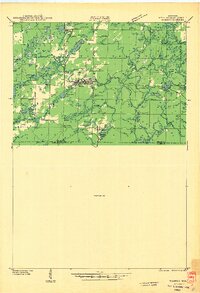
1942 · Wabeno
USGS Topo · 1:48,000
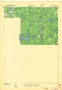
1942 · Pearson
USGS Topo · 1:48,000
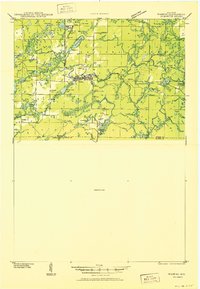
1950 · Wabeno
USGS Topo · 1:48,000
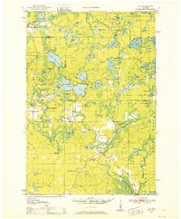
1950 · Lily
USGS Topo · 1:48,000
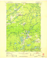
1951 · Wabeno
USGS Topo · 1:48,000
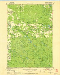
1952 · White Lake
USGS Topo · 1:48,000
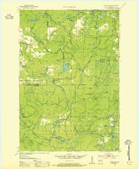
1952 · Langlade
USGS Topo · 1:48,000

1954 · Iron Mountain
USGS Topo · 1:250,000
1959 · Iron Mountain
USGS Topo · 1:250,000
1972 · Wabeno
USGS Topo · 1:24,000