2010s Maps of Lincoln County, Wisconsin
Explore 120 historic maps of Lincoln County from the 2010s. These maps offer a rare glimpse into what life looked like during the 2010s — showing old roads, neighborhoods, homes, and landmarks that have changed or disappeared over time.
Whether you're researching your family's past, planning a metal detecting trip, or studying how Lincoln County's landscape evolved across the 2010s, these high-resolution maps are a powerful tool for exploring the history of this region.
- Focus on a specific era: All maps on this page are from the 2010s, giving you a focused view of this time period.
- See what’s changed: Compare century-old streets, trails, and buildings to today's modern landscape using overlays and satellite layers.
- Research with precision: Use these maps for genealogy, historical research, land use analysis, or educational projects.
- View, download, or print: Maps are fully viewable online in high resolution, and can be downloaded or printed for your own records.
Start exploring Lincoln County's history through authentic maps from the 2010s. This is your window into the past.
Lincoln County, WI maps
(120)- 2010 Map of Tripoli, 2010 Print
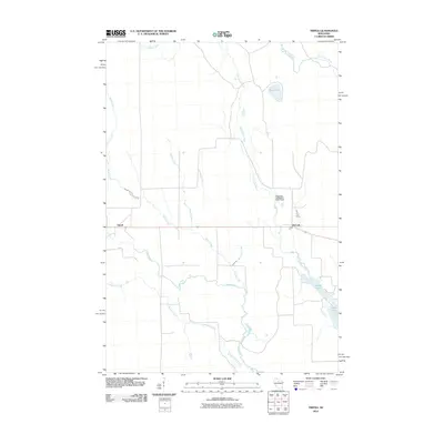 2010 Tripoli2010 Print · USGSThe rural corridor of Lincoln County is documented here at the start of the decade, centered on the small settlements of Tripoli and McCord. Researchers can trace the winding paths of the Somo River and Little Somo River or locate the Shot and Hook Club E3870 Dam.
 - 2010 Map of Bradley, 2010 Print
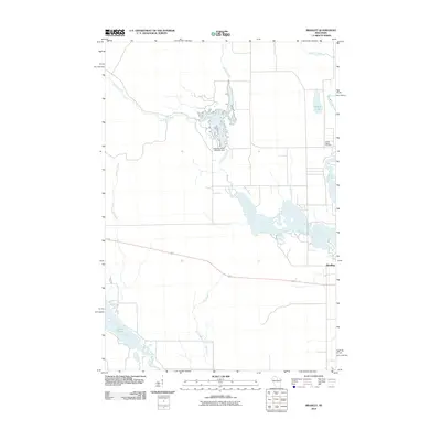 2010 Bradley2010 Print · USGSThe Northwoods around Bradley are revealed here in the early twenty-first century, showing a landscape defined by its river systems and flowages. Researchers can trace the Little Rice River to its Dam or find the Prairie Rapids Cemetery near the banks of the Tomahawk River.
 - 2010 Map of Pine Dells, 2010 Print
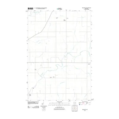 2010 Pine Dells2010 Print · USGSLincoln County at the turn of the decade is defined by the winding course of the Pine River and its rural townships. Genealogists can trace family footprints through numerous local landmarks, including Saint Paul Cemetery, Dutch Corners, and Podeweltz Airport.
 - 2010 Map of Merrill, 2010 Print
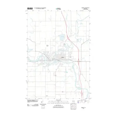 2010 Merrill2010 Print · USGSMerrill is shown at a point of modern maturity in the early twenty-first century, centered on its historic river confluence. Researchers can trace the layout of the city near the Merrill 1874C118 Dam and locate family history sites like Merrill Cemetery or Saint John Cemetery.
 - 2010 Map of Grandfather Falls, 2010 Print
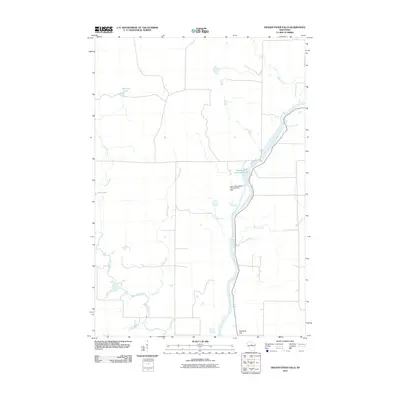 2010 Grandfather Falls2010 Print · USGSThe Wisconsin River and its hydroelectric infrastructure define this Lincoln County landscape in the early twenty-first century. Researchers can trace the river's path from Grandfather Flowage 2295 past the Upper Grandfather Falls Dam and toward Ninemile Hill.
 - 2010 Map of Tomahawk, 2010 Print
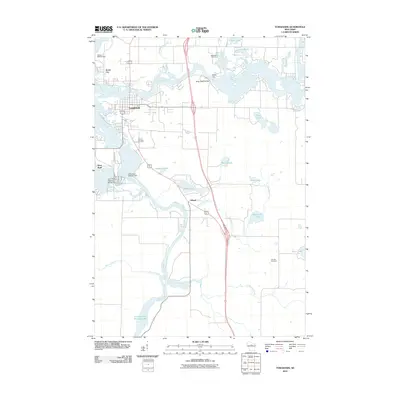 2010 Tomahawk2010 Print · USGSWisconsin’s Northwoods and its industrial riverfront are captured here in the early twenty-first century. Genealogists and local historians can trace the development of Tomahawk and Jersey City near landmarks like Calvary Cemetery and the Kings Dam.
 - 2010 Map of Doering, 2010 Print
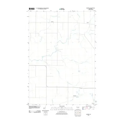 2010 Doering2010 Print · USGSLincoln County’s rural northern landscape is captured here in the early 2000s, showcasing a network of rivers and small settlements. Researchers can locate the Forest View Cemetery and trace the paths of Pine River and Oxbo Creek near the community of Doering.
 - 2010 Map of Gleason, 2010 Print
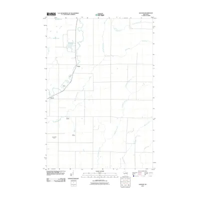 2010 Gleason2010 Print · USGSGleason and Dudley appear in Lincoln County during the early 2000s, centered on the winding Prairie River. Genealogists can trace local heritage through sites like the Latvian Cemetery, Estonian Cemetery, and Gleason Cemetery.
 - 2010 Map of Little Chicago, 2010 Print
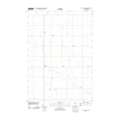 2010 Little Chicago2010 Print · USGSMarathon County at the start of the decade shows a quiet rural landscape defined by small hamlets and winding waterways. Genealogists can trace family heritage through numerous sites like Dreieinigkeit Cemetery, Little Chicago, and the West Fork Little Rib River.
 - 2010 Map of Bloomville, 2010 Print
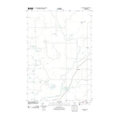 2010 Bloomville2010 Print · USGSLincoln County during the early 2000s reveals a landscape of managed waterways and rural crossroads. Local researchers can trace family histories at Saint Johns Cemetery and locate civil engineering landmarks like the Prairie Dell Dam and Doering E12.129 Dam.
 - 2010 Map of Alexander Lake, 2010 Print
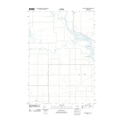 2010 Alexander Lake2010 Print · USGSThe northern Wisconsin river country is captured here in the early twenty-first century, showing the meeting of the Wisconsin River and Copper River. Genealogists and historians can locate the Methodist Cemetery and Snow Hill Cemetery or trace the Alexander WP200 Dam.
 - 2010 Map of Harrison, 2010 Print
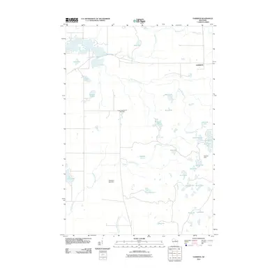 2010 Harrison2010 Print · USGSLincoln County’s glacial landscape is on full display in this survey from the early 2000s. Researchers can trace the water systems around the village of Harrison, identifying landmarks like the Lloyd Hilgendorf G-9001 Dam and high points in the Harrison Hills.
 - 2010 Map of Fromm Lookout Tower, 2010 Print
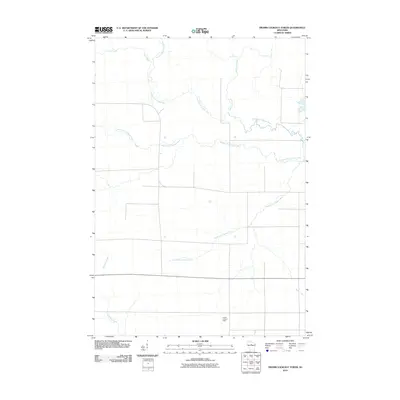 2010 Fromm Lookout Tower2010 Print · USGSLincoln County at the start of the 2010s reveals a structured landscape defined by the sprawling branches of the Copper River. Researchers can trace the paths of the North Fork Copper River and South Fork Copper River or locate the Fromm Lookout Tower.
 - 2010 Map of Irma, 2010 Print
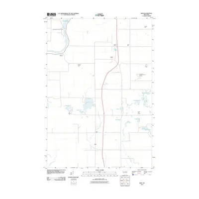 2010 Irma2010 Print · USGSIrma and the surrounding Wisconsin lake country are captured here during the first decade of the 21st century. Researchers can locate family landmarks like Woodlawn Cemetery, the Grandmother Falls WP185 Dam, and the rural junction of Otis.
 - 2010 Map of Kalinke, 2010 Print
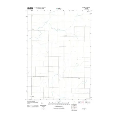 2010 Kalinke2010 Print · USGSPine River and the surrounding Wisconsin countryside are captured here in the early twenty-first century, showing a landscape of quiet crossroads and winding waterways. Researchers can locate family landmarks like Trinity Cemetery and trace the paths of Big Sandy Creek and the Trappe River.
 - 2010 Map of Lake Julia, 2010 Print
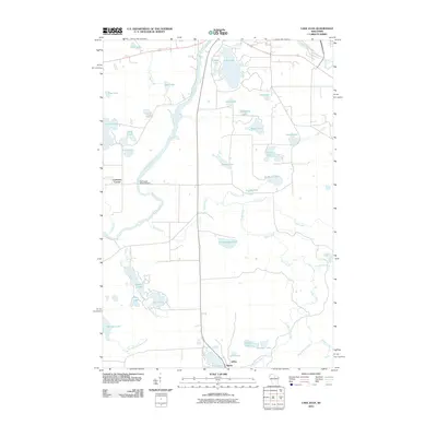 2010 Lake Julia2010 Print · USGSThe Northwoods landscape south of Rhinelander is defined by the winding Wisconsin River and its numerous glacial lakes. Genealogists and local historians can locate small settlements like Jeffris and Bundy or trace the hydrography of Noisy Creek and Lake Julia.
 - 2010 Map of Hamburg, 2010 Print
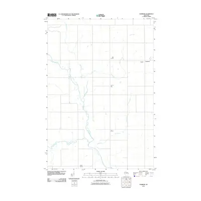 2010 Hamburg2010 Print · USGSMarathon County is documented here in the early 2000s, showcasing a rural landscape shaped by the Big Rib River. Genealogists can locate several burial sites including Saint Pauls Cemetery and Tessmer Pioneer Cemetery, or trace the winding path of McGinnis Creek.
 - 2010 Map of Heafford Junction, 2010 Print
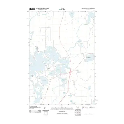 2010 Heafford Junction2010 Print · USGSHeafford Junction and the surrounding Northwoods lake country are captured in detail during the early 2000s. Researchers can trace local history through sites like Prairie Rapids Cemetery, Hancock Lake Dam, and the namesake Heafford Junction rail and road crossing.
 - 2010 Map of Nutterville, 2010 Print
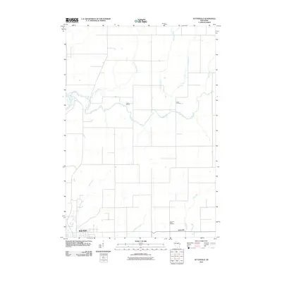 2010 Nutterville2010 Print · USGSThe rural countryside northeast of Wausau is captured here at the start of the 2010s, showing a landscape defined by the winding Trappe River. Genealogists can locate family landmarks like Chiber Cemetery, Mechanic Ridge Cemetery, and the crossroads at Nutterville.
 - 2010 Map of Natzke Camp, 2010 Print
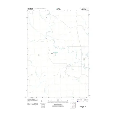 2010 Natzke Camp2010 Print · USGSLincoln County’s dense forest and river network are mapped here in the early 2000s, showing a landscape defined by water management and logging history. Researchers can locate specific outposts like Natzke Camp and Camp Twenty-seven or trace the New Wood Flowage created by the New Wood H2.117 Dam.
 - 2010 Map of Parrish, 2010 Print
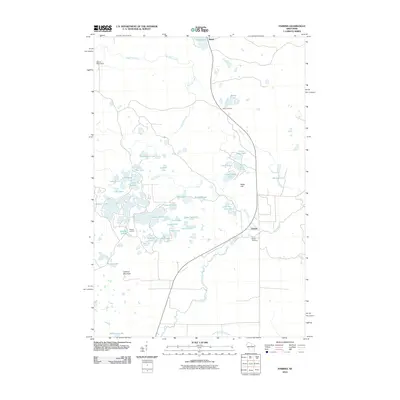 2010 Parrish2010 Print · USGSNorth-central Wisconsin’s glacial lake country is captured here during the early twenty-first century, showing the crossroads of Parrish and Bundy. Genealogists and local historians can locate the Parrish Cemetery or trace old routes near Jeffris Junction and Paulson Junction.
 - 2010 Map of Woodboro, 2010 Print
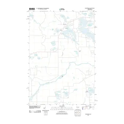 2010 Woodboro2010 Print · USGSLincoln County’s glacial landscape is captured here in the early 21st century, centered on the settlement of Woodboro. Genealogists and historians can locate the Woodboro Cemetery, trace the Wisconsin River, or find landmarks like the Porcupine Lookout Tower.
 - 2010 Map of Brokaw, 2010 Print
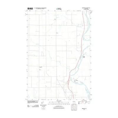 2010 Brokaw2010 Print · USGSMarathon County’s riverfront communities and rural townships are captured here at the start of the 2010s. Researchers can locate family landmarks such as Jehn Cemetery and Zion Cemetery, or trace the settlement patterns of Brokaw and Granite Heights along the Wisconsin River.
 - 2010 Map of Athens, 2010 Print
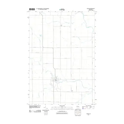 2010 Athens2010 Print · USGSMarathon County farmland surrounds the village of Athens in the first decade of the 21st century. Genealogists and local historians can trace family-named roads and locate rural landmarks like the Baldwin Hill School, Hoffman School, and the banks of Black Creek.
 - 2010 Map of Wood Lake, 2010 Print
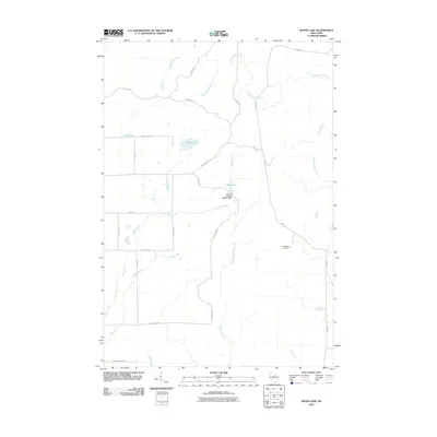 2010 Wood Lake2010 Print · USGSLincoln County’s timber and water systems are on full display here in the first decade of the new millennium. You can trace the rural crossroads at New Wood Junction or study the hydraulic engineering of the Camp 8 Flowage 3WR341 Dam and 1 Reservoir.
Showing maps 1-25 of 120
Top cities of Lincoln County
- Merrill historical maps
- Tomahawk historical maps
- Bradley historical maps
- Pine River historical maps
- Harrison historical maps
Frequently asked questions
- What are the different types of historical maps available for Lincoln County?
- What is the oldest map of Lincoln County?
- Where can I purchase historical maps of Lincoln County for my home or office?
- Where can I download high-res historical maps of Lincoln County?
- Are there historical topographic maps available for Lincoln County?
- Is there historical aerial imagery available for Lincoln County?
- Where are historical maps of Lincoln County sourced from?