2010s Maps of Menominee, Wisconsin
Explore 52 historic maps of Menominee from the 2010s. These maps offer a rare glimpse into what life looked like during the 2010s — showing old roads, neighborhoods, homes, and landmarks that have changed or disappeared over time.
Whether you're researching your family's past, planning a metal detecting trip, or studying how Menominee's landscape evolved across the 2010s, these high-resolution maps are a powerful tool for exploring the history of this region.
- Focus on a specific era: All maps on this page are from the 2010s, giving you a focused view of this time period.
- See what’s changed: Compare century-old streets, trails, and buildings to today's modern landscape using overlays and satellite layers.
- Research with precision: Use these maps for genealogy, historical research, land use analysis, or educational projects.
- View, download, or print: Maps are fully viewable online in high resolution, and can be downloaded or printed for your own records.
Start exploring Menominee's history through authentic maps from the 2010s. This is your window into the past.
Menominee, WI maps
(52)- 2010 Map of Perote Lake, 2010 Print
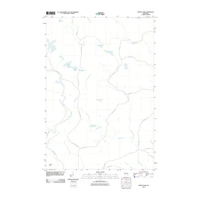 2010 Perote Lake2010 Print · USGSNorthern Wisconsin's lake country is captured here in the early twenty-first century, showing a landscape of dense waterways and forest management roads. Genealogists and outdoor historians can trace the paths of Elton Creek and locate landmarks like the Dutchman Lookout Tower or Perote Lake.
 - 2010 Map of Berry Lake, 2010 Print
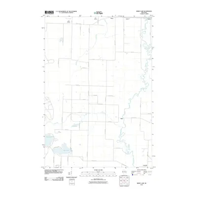 2010 Berry Lake2010 Print · USGSOconto County at the beginning of the 21st century reveals a landscape shaped by the Oconto River and small rural hubs. Genealogists and local historians can locate specific burial sites at Saint Johns Cemetery and trace the residential layout around Berry Lake.
 - 2010 Map of Neopit, 2010 Print
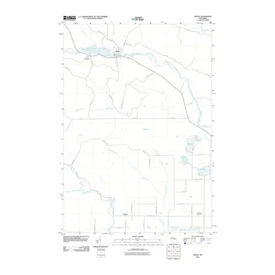 2010 Neopit2010 Print · USGSThe Menominee County forest and river systems are shown here in detail during the early 21st century. Researchers can trace local heritage through Saint Anthonys Cemetery, the waters of the Neopit Millpond 108, and landmarks like Rainbow Falls.
 - 2010 Map of Legend Lake, 2010 Print
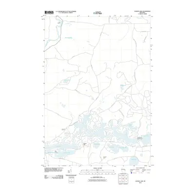 2010 Legend Lake2010 Print · USGSMenominee County’s dense lake country is captured here in the early twenty-first century, showing the intricate shoreline of the Legend Lake system. Researchers can locate Saint Michael Cemetery, the Sand Lake Lookout Tower, and the Legend Lake Number Three 3 WR 543 Dam.
 - 2010 Map of Shawano, 2010 Print
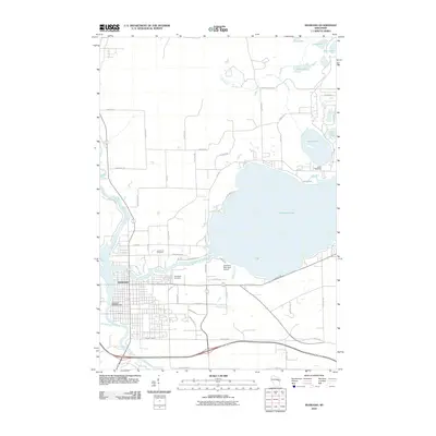 2010 Shawano2010 Print · USGSShawano and its expansive lakefront are captured here in the early twenty-first century, showing the established city and its surrounding water-defined landscape. Genealogists and local historians can locate Woodlawn Cemetery, Lake Drive Cemetery, and the Shawano 3WR393 Dam along the Wolf River.
 - 2010 Map of Thornton, 2010 Print
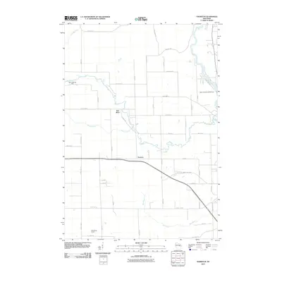 2010 Thornton2010 Print · USGSThornton and the surrounding Shawano County river valleys are captured here in the early twenty-first century. Researchers can trace the water-powered history of the area through Freeman Falls, the Weed 2WP1507 Dam, and the Wolf River.
 - 2010 Map of Burney Lake, 2010 Print
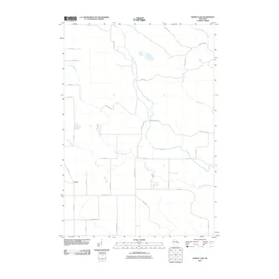 2010 Burney Lake2010 Print · USGSAlmon and the surrounding river valleys of Shawano County are captured here in the early twenty-first century as the landscape maintains its rural character. Genealogists and historians can trace the paths of Red River, Miller Creek, and named local routes like Wagon Bridge Rd.
 - 2010 Map of Keshena, 2010 Print
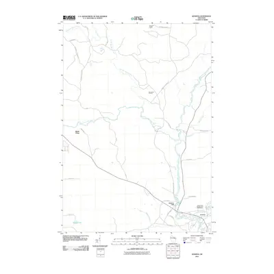 2010 Keshena2010 Print · USGSIn the heart of the Menominee Reservation during the early twenty-first century, the Wolf River system dictates the layout of local life. Trace river-front settlements and landmarks like Keshena, Middle Village, and the high vantage point of Kinepoway Lookout Tower.
 - 2010 Map of Zoar, 2010 Print
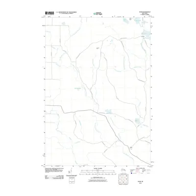 2010 Zoar2010 Print · USGSWisconsin's lakelands are captured here in 2010, showing the rural settlement patterns near Zoar. Researchers can trace old forest roads and family-named routes like Ernest Neconish Rd to landmarks such as Camp Black Hawk and Lake Neconish.
 - 2010 Map of Cecil, 2010 Print
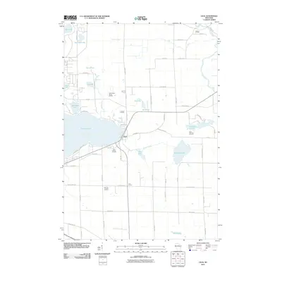 2010 Cecil2010 Print · USGSWisconsin's dairy country and the eastern shores of Shawano Lake are captured here during a time of steady rural continuity. Local historians and genealogists can map family ties through numerous sites like Saint Paul Lutheran Cemetery, Tracy Corners, and the historic Underhill Cemetery.
 - 2011 Map of Markton, 2011 Print
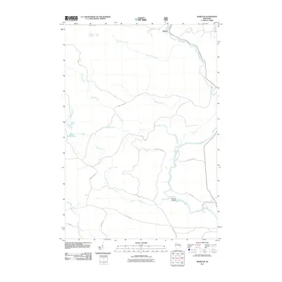 2011 Markton2011 Print · USGSOconto County's river-driven geography is on display in the early twenty-first century, centered on the Wolf River and its many tributaries. Trace the history of the timber and water landscape through features like Big Smoky Falls, Markton, and Saturday Islands.
 - 2011 Map of Breed, 2011 Print
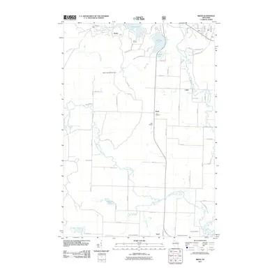 2011 Breed2011 Print · USGSOconto County rural life and river systems are documented here during the early twenty-first century. Genealogists and local historians can trace burial sites at Union Cemetery and Saint Johns Cemetery or locate the settlements of Breed and Hayes.
 - 2011 Map of Fredenberg Lake, 2011 Print
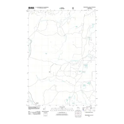 2011 Fredenberg Lake2011 Print · USGSOconto County forests and glacial lakes are mapped here in the early twenty-first century, showcasing a landscape of remote waterways and timber tracks. Researchers can trace the winding South Branch Oconto River or locate landmarks like the La Belle Lookout Tower and Menominee Reservation Campground.
 - 2013 Map of Shawano, 2013 Print
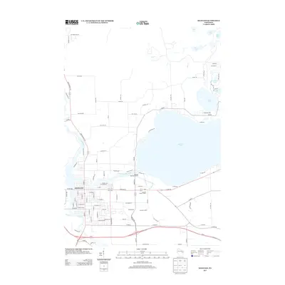 2013 Shawano2013 Print · USGSThe Wolf River and Shawano Lake define this Wisconsin landscape during the early twenty-first century. Genealogists and local historians can trace the urban grid of Shawano or locate area landmarks like Camp Tekawitha and the Moonlight Outdoor Theatre.
 - 2013 Map of Thornton, 2013 Print
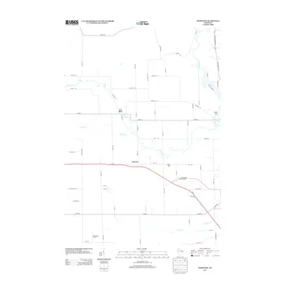 2013 Thornton2013 Print · USGSShawano County's rural landscape is captured here in the early 2010s, showing the meeting of the Red River and Wolf River. Researchers can trace local aviation history at Dillenburg's Airport and find family-run operations like Krueger Dairy Farm and Hanauer's Tree Farms.
 - 2013 Map of Burney Lake, 2013 Print
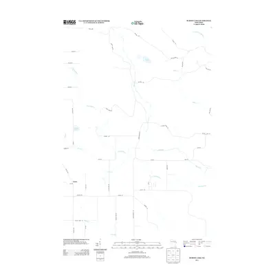 2013 Burney Lake2013 Print · USGSAlmon and the surrounding Shawano County woodlands are captured here in the early twenty-first century. Genealogists and local historians can trace the paths of W Br Red River and find family-named landmarks like Burney Lake and Kolpack Lake.
 - 2013 Map of Berry Lake, 2013 Print
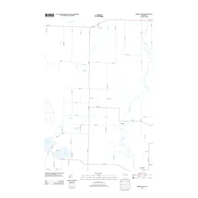 2013 Berry Lake2013 Print · USGSThe Oconto River valley and its neighboring lakes are captured here in the early twenty-first century. Genealogists and local historians can trace family properties near Hintz and Underhill or explore the developed shorelines of Berry Lake and Moshawquit Lake.
 - 2013 Map of Neopit, 2013 Print
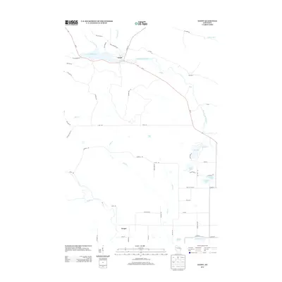 2013 Neopit2013 Print · USGSThe Menominee tribal lands near the beginning of the twenty-first century are defined by the winding waters of the Wolf River. Researchers can trace the layout of Neopit, the riverside location of Morgan, and landmarks like Rainbow Falls and Mission Lake.
 - 2013 Map of Cecil, 2013 Print
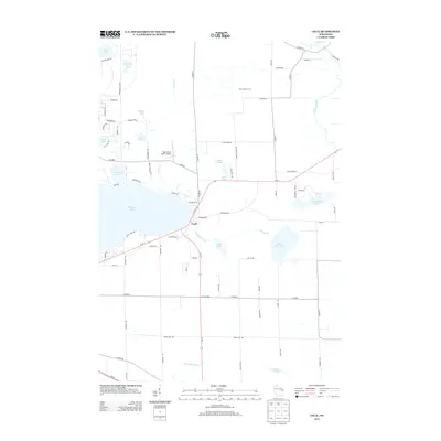 2013 Cecil2013 Print · USGSThe village of Cecil and the eastern shores of Shawano Lake are captured here during the early twenty-first century. Researchers can trace rural legacy through labels like Milk-N-More Farms, the Deer Haven Ranch Airport, and the crossroads at Tracy Corners.
 - 2013 Map of Fredenberg Lake, 2013 Print
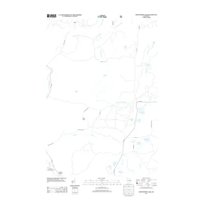 2013 Fredenberg Lake2013 Print · USGSOconto County's wooded lake country is captured here in the early twenty-first century. Researchers can trace forest access routes like POTATO PATCH RD to find La Belle Lookout Tower, Fredenberg Lake, and the Wolf River.
 - 2013 Map of Markton, 2013 Print
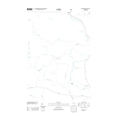 2013 Markton2013 Print · USGSThe northern woods of Wisconsin are captured here in the early twenty-first century, centered on the hydraulic power of the Wolf River. Researchers can trace the river's many named drops and rapids, from Gilmores Mistake Rapids to the dramatic Big Smoky Falls.
 - 2013 Map of Breed, 2013 Print
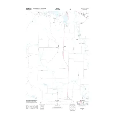 2013 Breed2013 Print · USGSOconto County's river valleys and lake country are shown here in detail during the early twenty-first century. Researchers can trace local family landmarks and rural hubs such as Breed, Hayes, and the recreational U-Nah-Li-Ya Camp along the Oconto River.
 - 2013 Map of Legend Lake, 2013 Print
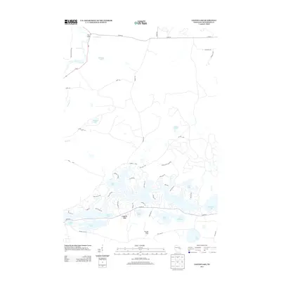 2013 Legend Lake2013 Print · USGSMenominee County's lake-rich landscape is captured here in the early twenty-first century, showing the dense residential growth around Legend Lake. Local historians can trace family-named sites like Otradovic Rnch and cultural landmarks like Spirit Rock.
 - 2013 Map of Keshena, 2013 Print
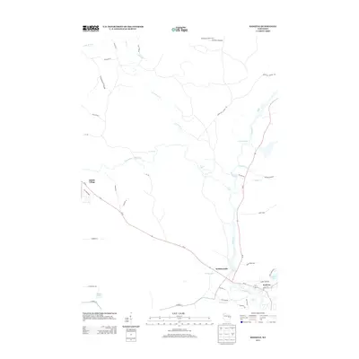 2013 Keshena2013 Print · USGSThe Wolf River and its powerful rapids take center stage in this early twenty-first-century survey of the Menominee reservation. Trace local history through landmark sites like the Kinepoway Lookout Tower, the sacred Spirit Rock, and the historic settlement at Middle Village.
 - 2013 Map of Zoar, 2013 Print
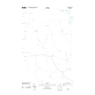 2013 Zoar2013 Print · USGSWisconsin's northern forests and waterways come to life in this early twenty-first-century survey of the Menominee Reservation area. Local historians and genealogists can trace family connections along Zoar Rd and locate landmarks like Camp Black Hawk and Red River Camp.
Showing maps 1-25 of 52
Top cities near Menominee
- Shawano historical maps
- Belle Plaine historical maps
- Keshena historical maps
- Polar historical maps
- Pella historical maps
- Neopit historical maps
See more
Top neighborhoods of Menominee
- Keshena Falls historical maps
- Five Islands historical maps
- Keshena historical maps
- Neopit historical maps
- Zoar historical maps
Frequently asked questions
- What are the different types of historical maps available for Menominee?
- What is the oldest map of Menominee?
- Where can I purchase historical maps of Menominee for my home or office?
- Where can I download high-res historical maps of Menominee?
- Are there historical topographic maps available for Menominee?
- Is there historical aerial imagery available for Menominee?
- Where are historical maps of Menominee sourced from?