2010s Maps of Johnstown, Wisconsin
Explore 16 historic maps of Johnstown from the 2010s. These maps offer a rare glimpse into what life looked like during the 2010s — showing old roads, neighborhoods, homes, and landmarks that have changed or disappeared over time.
Whether you're researching your family's past, planning a metal detecting trip, or studying how Johnstown's landscape evolved across the 2010s, these high-resolution maps are a powerful tool for exploring the history of this region.
- Focus on a specific era: All maps on this page are from the 2010s, giving you a focused view of this time period.
- See what’s changed: Compare century-old streets, trails, and buildings to today's modern landscape using overlays and satellite layers.
- Research with precision: Use these maps for genealogy, historical research, land use analysis, or educational projects.
- View, download, or print: Maps are fully viewable online in high resolution, and can be downloaded or printed for your own records.
Start exploring Johnstown's history through authentic maps from the 2010s. This is your window into the past.
Johnstown, WI maps
(16)- 2010 Map of Range, 2010 Print
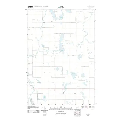 2010 Range2010 Print · USGSPolk County at the start of the 2010s reveals a landscape of interconnected glacial lakes and quiet rural settlements. Researchers can trace local history through named sites like Ridler Dam, Bunyan, and several family-linked burial grounds including Elim Cemetery.
 - 2010 Map of McKinley, 2010 Print
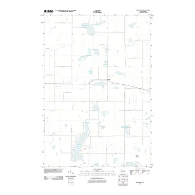 2010 McKinley2010 Print · USGSMcKinley and the surrounding lakelands of Polk County are captured here at the start of the decade. Genealogists and local historians can trace the rural road networks and lakeside properties near Pipe Lake, Largon Lake, and the small airfield at Morts Landing Airport.
 - 2010 Map of Big Round Lake, 2010 Print
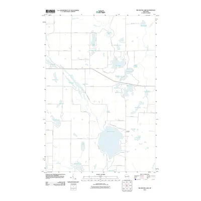 2010 Big Round Lake2010 Print · USGSPolk County at the turn of the decade is defined by its dense collection of glacial basins and rural connectors. Genealogists and hikers can trace the Ice Age Trl as it winds past Big Round Lake or locate family plots at Johnstown Cemetery.
 - 2010 Map of Turtle Lake, 2010 Print
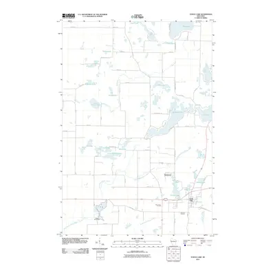 2010 Turtle Lake2010 Print · USGSWisconsin's glacial lake country is mapped here in the early twenty-first century as the village of Turtle Lake anchors a landscape of wetlands and water. Researchers can trace local heritage at Mount Hope Cemetery or follow the legacy of water power at Old Mill Pond and Beaver Brook Dam.
 - 2013 Map of Big Round Lake, 2013 Print
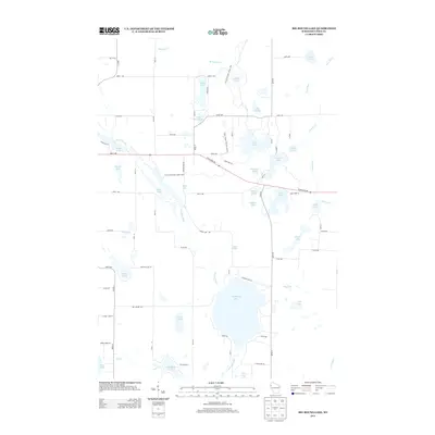 2013 Big Round Lake2013 Print · USGSPolk County's lake-rich landscape is captured here in the early twenty-first century. Researchers can trace the path of the Ice Age National Scenic Trail as it winds past Big Round Lake and the banks of the Clam River.
 - 2013 Map of McKinley, 2013 Print
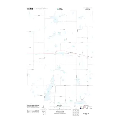 2013 McKinley2013 Print · USGSWisconsin's lakeland border between Polk and Barron counties is captured here in the early twenty-first century. Researchers can trace rural property lines and access points to local landmarks like Pipe Lake and the small Mort's Landing Airport.
 - 2013 Map of Turtle Lake, 2013 Print
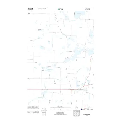 2013 Turtle Lake2013 Print · USGSBarron County is shown in the early twenty-first century, revealing a landscape shaped by glacial waters and rural development. Genealogists and local historians can trace family locations along the Apple River or near the Old Mill Pond and Joel Flowage 22.
 - 2013 Map of Range, 2013 Print
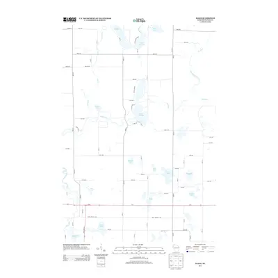 2013 Range2013 Print · USGSPolk County's lake country is captured here during the early 2010s, showing a rural landscape defined by the winding Apple River. Researchers can trace old property access and shoreline details along Big Blake Lake, White Ash Lake, and the Apple River Flowage 134.
 - 2015 Map of Range, 2015 Print
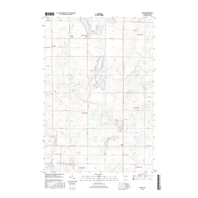 2015 Range2015 Print · USGSPolk County at the turn of the century remains a landscape of glacial lakes and river flowages. Genealogists and local historians can locate the small settlements of Range and Bunyan alongside family heritage sites like Saint Marys Cem and Elim Cem.
 - 2015 Map of McKinley, 2015 Print
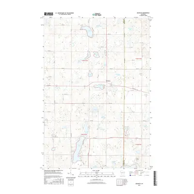 2015 McKinley2015 Print · USGSMcKinley and the surrounding lakelands of Polk County are shown in fine detail during the mid-2010s. Modern researchers can trace property access near Pipe Lake, locate the community at McKinley, or explore the many landings like Mort's Landing on Staples Lake.
 - 2015 Map of Big Round Lake, 2015 Print
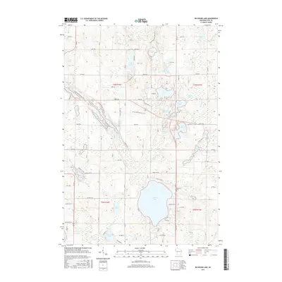 2015 Big Round Lake2015 Print · USGSIn the lakes region of Polk County, this mid-2010s survey captures a landscape defined by glacial waters and the Ice Age National Scenic Trail. Genealogists and local historians can locate the Johnstown Cem and trace the paths around Big Round Lake and Straight River.
 - 2015 Map of Turtle Lake, 2015 Print
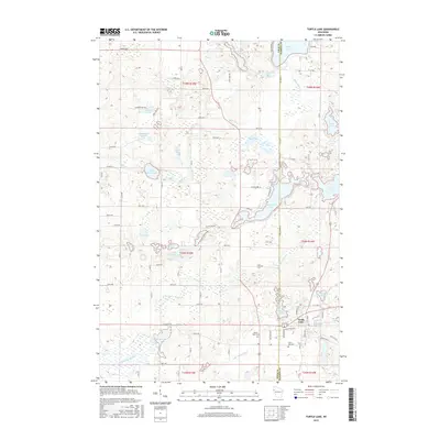 2015 Turtle Lake2015 Print · USGSWisconsin's lakeland border between Polk and Barron counties is captured here in the mid-2010s, centered on the village of Turtle Lake. Local historians can trace family plots at Saint Ann Cem or explore the waterfront geography around Horseshoe Lake and the Old Mill Pond.
 - 2018 Map of McKinley, 2018 Print
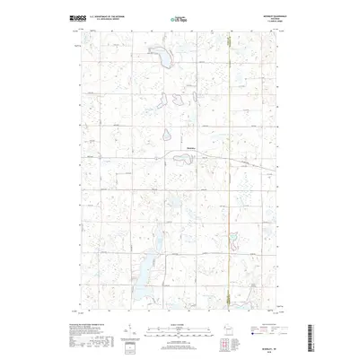 2018 McKinley2018 Print · USGSThe lake-strewn border between Polk and Barron counties is captured here in the late twenty-tens. Genealogists and local historians can trace the rural tracts around McKinley and find specific points of interest like Mort's Landing on Staples Lake.
 - 2018 Map of Range, 2018 Print
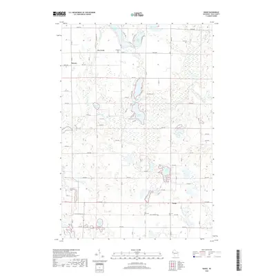 2018 Range2018 Print · USGSPolk County in the early twenty-first century remains a landscape of glacial lakes and rural crossroads. Genealogists can locate family sites near Georgetown Cem or Elim Cem and trace the paths of Rice Bed Creek and the Apple River.
 - 2018 Map of Big Round Lake, 2018 Print
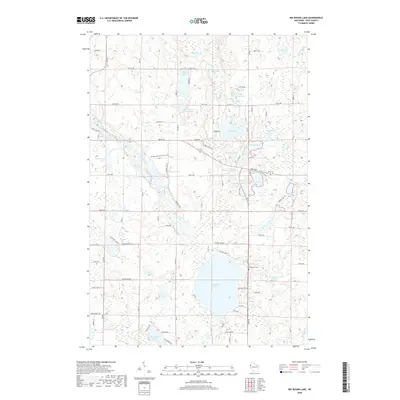 2018 Big Round Lake2018 Print · USGSPolk County's glacial lake country is documented here in the early twenty-first century. Researchers can trace the path of the Ice Age National Scenic Trail or locate historical burials at the Johnstown Cem near the shores of Big Round Lake.
 - 2018 Map of Turtle Lake, 2018 Print
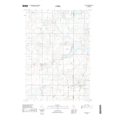 2018 Turtle Lake2018 Print · USGSWisconsin's lake country in the late 2010s is defined by a dense network of glacial waters and quiet rural roads. Genealogists and local historians can trace landmarks like Mount Hope Cemetery, the Cattail State Trail, and the shoreline of Horseshoe Lake.
End of results
Showing maps 1-16 of 16
Top cities near Johnstown
- Amery historical maps
- Cumberland historical maps
- Town of Lincoln historical maps
- Luck historical maps
- Balsam Lake historical maps
- Turtle Lake historical maps
See more
Frequently asked questions
- What are the different types of historical maps available for Johnstown?
- What is the oldest map of Johnstown?
- Where can I purchase historical maps of Johnstown for my home or office?
- Where can I download high-res historical maps of Johnstown?
- Are there historical topographic maps available for Johnstown?
- Is there historical aerial imagery available for Johnstown?
- Where are historical maps of Johnstown sourced from?