2000s (21st Century) Maps of Milltown, Wisconsin
Explore 20 historic maps of Milltown from the 2000s (21st Century). These maps offer a rare glimpse into what life looked like during the 2000s — showing old roads, neighborhoods, homes, and landmarks that have changed or disappeared over time.
Whether you're researching your family's past, planning a metal detecting trip, or studying how Milltown's landscape evolved across the 2000s, these high-resolution maps are a powerful tool for exploring the history of this region.
- Focus on a specific era: All maps on this page are from the 2000s, giving you a focused view of this time period.
- See what’s changed: Compare century-old streets, trails, and buildings to today's modern landscape using overlays and satellite layers.
- Research with precision: Use these maps for genealogy, historical research, land use analysis, or educational projects.
- View, download, or print: Maps are fully viewable online in high resolution, and can be downloaded or printed for your own records.
Start exploring Milltown's history through authentic maps from the 2000s. This is your window into the past.
Milltown, WI maps
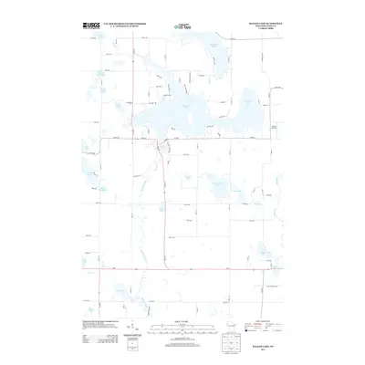
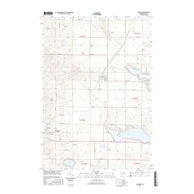
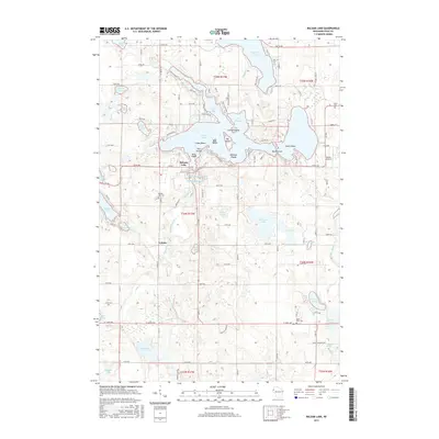
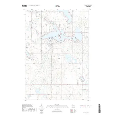
(20)- 2010 Map of Balsam Lake, 2010 Print
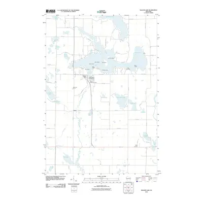 2010 Balsam Lake2010 Print · USGSCovers Milltown, including Balsam Lake, Georgetown, and other nearby areas
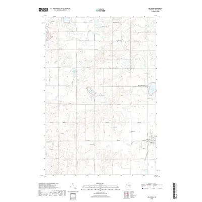
 - 2010 Map of Milltown, 2010 Print
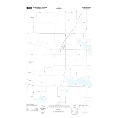
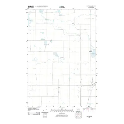 2010 Milltown2010 Print · USGSCovers Milltown, including Eureka, Laketown, and other nearby areas
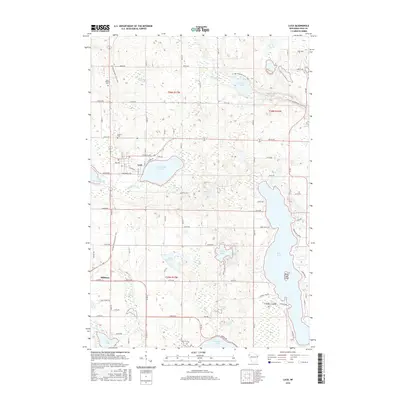
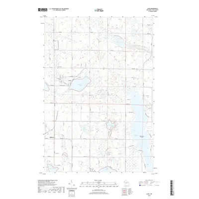
 - 2010 Map of Luck, 2010 Print
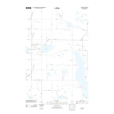
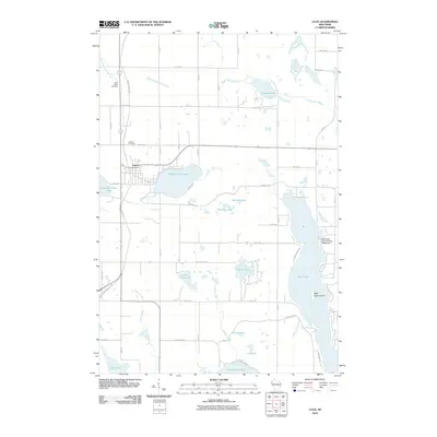 2010 Luck2010 Print · USGSCovers Milltown, including Luck, Luck, and other nearby areas
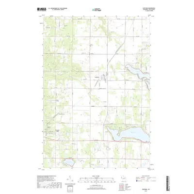
 - 2010 Map of Centuria, 2010 Print
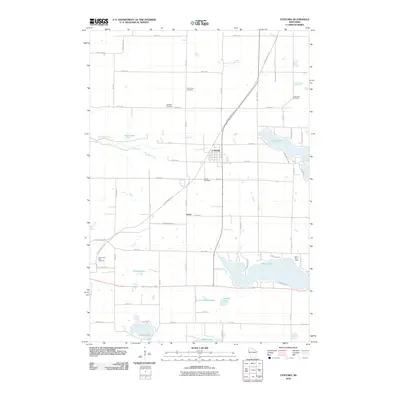 2010 Centuria2010 Print · USGSCovers Milltown, including Centuria, Eureka, and other nearby areas
 - 2013 Map of Centuria, 2013 Print
 2013 Centuria2013 Print · USGSCovers Milltown, including Centuria, Eureka, and other nearby areas
 - 2013 Map of Balsam Lake, 2013 Print
 2013 Balsam Lake2013 Print · USGSCovers Milltown, including Balsam Lake, Georgetown, and other nearby areas
 - 2013 Map of Milltown, 2013 Print
 2013 Milltown2013 Print · USGSCovers Milltown, including Eureka, Laketown, and other nearby areas
 - 2013 Map of Luck, 2013 Print
 2013 Luck2013 Print · USGSCovers Milltown, including Luck, Luck, and other nearby areas
 - 2015 Map of Centuria, 2015 Print
 2015 Centuria2015 Print · USGSCovers Milltown, including Centuria, Eureka, and other nearby areas
 - 2015 Map of Milltown, 2015 Print
 2015 Milltown2015 Print · USGSCovers Milltown, including Eureka, Laketown, and other nearby areas
 - 2015 Map of Balsam Lake, 2015 Print
 2015 Balsam Lake2015 Print · USGSCovers Milltown, including Balsam Lake, Georgetown, and other nearby areas
 - 2015 Map of Luck, 2015 Print
 2015 Luck2015 Print · USGSCovers Milltown, including Luck, Luck, and other nearby areas
 - 2018 Map of Balsam Lake, 2018 Print
 2018 Balsam Lake2018 Print · USGSCovers Milltown, including Balsam Lake, Georgetown, and other nearby areas
 - 2018 Map of Milltown, 2018 Print
 2018 Milltown2018 Print · USGSCovers Milltown, including Eureka, Laketown, and other nearby areas
 - 2018 Map of Centuria, 2018 Print
 2018 Centuria2018 Print · USGSCovers Milltown, including Centuria, Eureka, and other nearby areas
 - 2018 Map of Luck, 2018 Print
 2018 Luck2018 Print · USGSCovers Milltown, including Luck, Luck, and other nearby areas
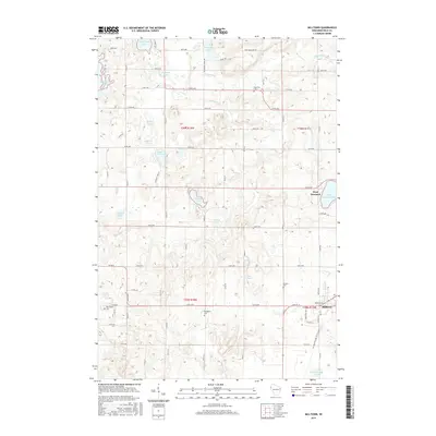
 - 2022 Map of Milltown, 2022 Print
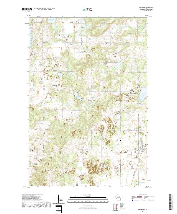 2022 Milltown2022 Print · USGSMilltown and the surrounding Wisconsin countryside are shown here in the 2020s, a landscape defined by glacial lakes and early pioneer roots. Family historians can trace local lineages through numerous community sites like West Denmark Cem, Granum Cem, and Laketown Cem.
 - 2022 Map of Luck, 2022 Print
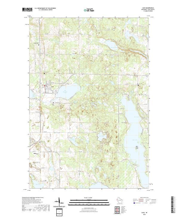 2022 Luck2022 Print · USGSPolk County settlement and glacial lake geography are captured in this recent survey of the Luck and Milltown area. Researchers can locate family landmarks such as the Bone Lake Cem, Lawson Cem, and the historic Ice Age National Scenic Trail.
 - 2022 Map of Centuria, 2022 Print
 2022 Centuria2022 Print · USGSPolk County at the start of the 2020s shows a landscape defined by glacial lakes and historic transit corridors. Researchers can locate several burial sites like Saint John Cem and Fristad Cem while tracing the Gandy Dancer State Trl through Centuria.
 - 2022 Map of Balsam Lake, 2022 Print
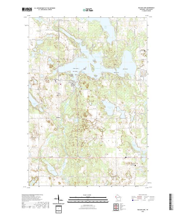 2022 Balsam Lake2022 Print · USGSThe lake country of Polk County is shown in detail during the early twenty-first century, highlighting its intricate island and waterway networks. Genealogists and local historians can trace family sites at Balsam Lake Cem or explore the settlements of Lykens and Balsam Lake.
End of results
Showing maps 1-20 of 20
Top cities near Milltown
- Amery historical maps
- Osceola historical maps
- Town of Lincoln historical maps
- Franconia historical maps
- Frederic historical maps
- Luck historical maps
See more
Frequently asked questions
- What are the different types of historical maps available for Milltown?
- What is the oldest map of Milltown?
- Where can I purchase historical maps of Milltown for my home or office?
- Where can I download high-res historical maps of Milltown?
- Are there historical topographic maps available for Milltown?
- Is there historical aerial imagery available for Milltown?
- Where are historical maps of Milltown sourced from?