Old Maps of Hubbard, Wisconsin for Genealogy
Trace your family roots with 29 historic maps of Hubbard. These high-res maps reveal old neighborhoods, homesites, landmarks, and streets — helping you uncover where your ancestors lived and how the area evolved over time.
- Explore historic neighborhoods: Identify where your relatives may have lived in the 1800s or 1900s.
- Compare maps over time: Trace the changes in streets, buildings, and landmarks for multi-generational research.
- Perfect for genealogy & ancestry research: Used by family historians and researchers to map out lineage and migration.
These maps are an incredible resource for exploring your personal connection to Hubbard's past.
Hubbard, WI maps
(29)- 1944 Map of Exeland, 1952 Print
 1944 Exeland1952 Print · USGSNorthern Wisconsin's river country is captured in the mid-1940s as rural life centered on local schools and the rail line. Genealogists can trace family footprints near Exeland or at one of many country schoolhouses like Murry Sch and Laurel Hill Sch.2 unique versions available
 - 1947 Map of Exeland
 1947 Exeland1947 Print · USGSNorthwest Wisconsin's river country comes into focus in the 1940s as rural school districts and small homesteads still defined the landscape. Genealogists can locate family-named landmarks like Reppert School or Murry School and trace the original course of the Chippewa River.
 - 1953 Map of Rice Lake, 1967 Print
 1953 Rice Lake1967 Print · USGSNorthwest Wisconsin during the mid-fifties reveals a landscape defined by timber, rail, and water. Genealogists and historians can trace the development of river towns like Ladysmith and Rice Lake along the Soo Line and Chicago and North Western railroads.2 unique versions available
 - 1959 Map of Rice Lake
 1959 Rice Lake1959 Print · USGSNorthwest Wisconsin in the late fifties was a land of expanding road networks and deep-seated timber history. Genealogists and historians can trace rail lines like the Soo Line RR and Chicago St Paul Minneapolis and Omaha Ry as they link settlements from Spooner to Medford.
 - 1972 Map of Crane, 1975 Print
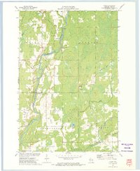 1972 Crane1975 Print · USGSRusk County’s river valleys and rail corridors are captured in the early seventies as small communities and rural industries shaped the landscape. Genealogists and local historians can locate St Anns Ch, the Townhall, and old rail paths like the Old RR Grade.
 - 1972 Map of Hogsback Creek, 1975 Print
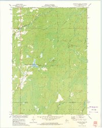 1972 Hogsback Creek1975 Print · USGSNorthern Wisconsin’s timber and rail history is visible in the early seventies across the Sawyer and Rusk county line. Trace legacy transport routes like the Bissell Grade and the Old Railroad Grade alongside Hogsback Creek.
 - 1972 Map of Exeland, 1975 Print
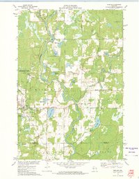 1972 Exeland1975 Print · USGSSawyer County life in the early seventies centered on the river junctions and the rails of the Soo Line Railroad. You can trace local family landmarks and burial sites like the Bellile Cem, Mennonite Cem, and the village at Exeland.
 - 1972 Map of Exeland SE, 1975 Print
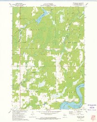 1972 Exeland SE1975 Print · USGSRusk County at the start of the 1970s showcases a landscape of active water management and rural community life. Researchers can locate the Round Meadow Community Club, trace the OLD RR GRADE, and see the early layout of the Rusk County Airport.
 - 1980 Map of Spooner
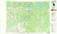 1980 Spooner1980 Print · USGSNorthwestern Wisconsin at the dawn of the eighties reveals a landscape of deep forests and transitioning rail corridors. Genealogists and historians can trace lakefront settlements like Spooner and Birchwood or follow the early Tuscobia-Park Falls State Trail.
 - 2010 Map of Exeland, 2010 Print
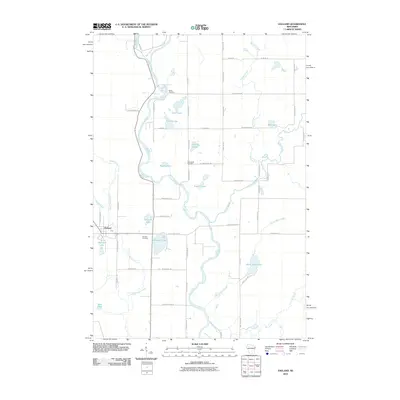 2010 Exeland2010 Print · USGSSawyer County at the start of the decade reveals a landscape defined by the winding Chippewa River and the quiet village of Exeland. Genealogists and local historians can trace family locations near the Mennonite Cemetery, Bellile Cemetery, and Windfall Lake.
 - 2010 Map of Crane, 2010 Print
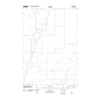 2010 Crane2010 Print · USGSIn the rural reaches of Rusk County during the early 21st century, the confluence of the Chippewa River and its many creeks defined local life. Genealogists can locate family landmarks such as Saint Anns Cemetery and the crossroads at Imalone and Murry.
 - 2010 Map of Exeland SE, 2010 Print
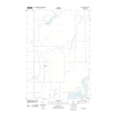 2010 Exeland SE2010 Print · USGSThe Hubbard area of Rusk County is shown in the early 21st century as a landscape shaped by the Thornapple River and significant local water management. Researchers can locate community hubs like the Round Meadow Community Club and trace the shorelines of the Dairyland Reservoir and Lea Flowage.
 - 2010 Map of Hogsback Creek, 2010 Print
 2010 Hogsback Creek2010 Print · USGSRusk County at the start of the 2010s shows a landscape of interconnected creek systems and forestry landmarks. Researchers can trace the path of the Brunet River or locate historical points of interest like the Swayne Lookout Tower and Finnell Dam.
 - 2013 Map of Exeland SE, 2013 Print
 2013 Exeland SE2013 Print · USGSRusk County's river valleys and the shores of the Dairyland Reservoir are documented here in the early twenty-first century. Researchers can trace local landmarks and infrastructure from the Rusk County Airport to the Round Meadow Community Club and Lea Lake 13.
 - 2013 Map of Crane, 2013 Print
 2013 Crane2013 Print · USGSIn the early 2010s, this pocket of Rusk County shows a rural landscape shaped by the Chippewa River and local crossroads. Genealogists and historians can trace family-named roads and small settlements like Murry, Imalone, and Crane.
 - 2013 Map of Exeland, 2013 Print
 2013 Exeland2013 Print · USGSSawyer County at the start of the 2010s is characterized by its dense network of rivers and glacial lakes surrounding the village of Exeland. Genealogists and researchers can trace the waterways of the Chippewa River, find family-named routes, and locate landmarks like Balsam Lake and Windfall Lake.
 - 2013 Map of Hogsback Creek, 2013 Print
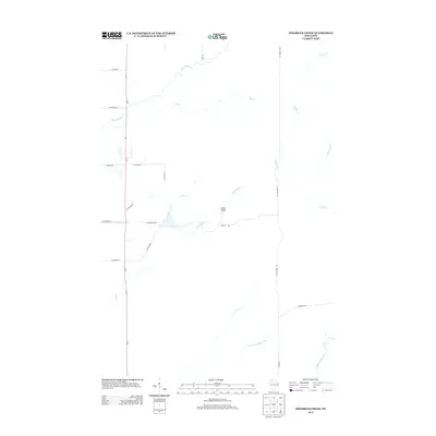 2013 Hogsback Creek2013 Print · USGSIn the early twenty-first century, this Rusk County landscape remains defined by its dense network of waterways and timber management infrastructure. Researchers can trace the path of Old Highway 70 or locate the Swayne Lookout Tower near the junction of Hogsback Cr and Nail Creek.
 - 2015 Map of Exeland SE, 2015 Print
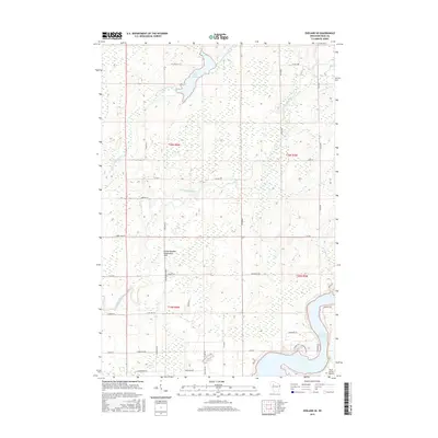 2015 Exeland SE2015 Print · USGSRusk County’s river-carved landscape is shown here in the mid-2010s, defined by the winding Thornapple River and the sprawling Dairyland Reservoir. Researchers can trace the rural road network to local landmarks like the Round Meadow Community Club and Lea Lake.
 - 2015 Map of Crane, 2015 Print
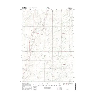 2015 Crane2015 Print · USGSThe Chippewa River valley and its surrounding timberlands in Rusk County are captured here during the mid-2010s. Researchers can trace rural settlement patterns near Imalone, locate Saint Anns Cem, and follow the Thornapple River through the backwoods.
 - 2015 Map of Exeland, 2015 Print
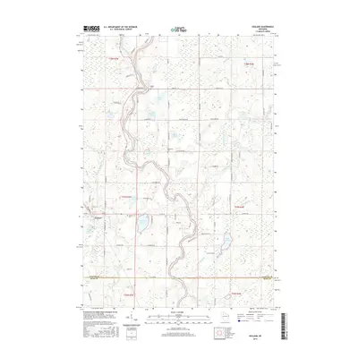 2015 Exeland2015 Print · USGSSawyer County at the start of the twenty-first century reveals a landscape of winding rivers and glacial lakes concentrated around the village of Exeland. Genealogists and local historians can trace family-named roads and locate several area burial sites, including the Mennonite Cem, Bellile Cem, and Exeland Cem.
 - 2015 Map of Hogsback Creek, 2015 Print
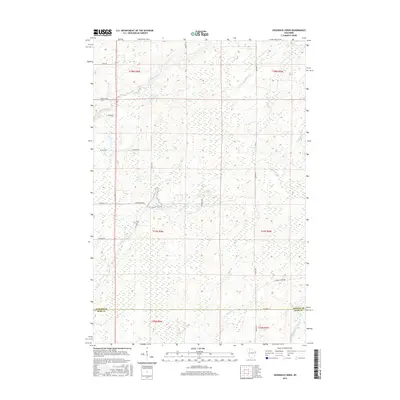 2015 Hogsback Creek2015 Print · USGSThe Sawyer and Rusk county line comes alive in this mid-2010s survey of the Wisconsin Northwoods. Researchers can trace the winding paths of the Brunet River and Little Thornapple River alongside rural corridors like Bissell Grade Rd.
 - 2018 Map of Crane, 2018 Print
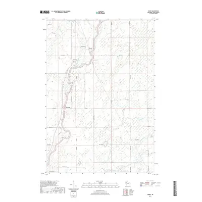 2018 Crane2018 Print · USGSRusk County’s river-carved interior is documented here in the late 2010s, centered on the confluence of the Chippewa River and the Thornapple River. Researchers can trace local lineage at Saint Anns Cem or explore the rural surroundings of Murry, Imalone, and Crane.
 - 2018 Map of Exeland, 2018 Print
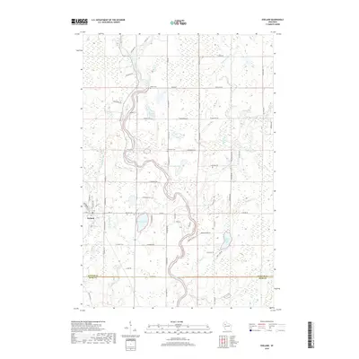 2018 Exeland2018 Print · USGSWisconsin's Northwoods landscape is captured here in the late 2010s, showing the settlement of Exeland and its surrounding glacial lakes. Genealogists can locate several local burial grounds including Bellile Cemetery and Exeland Cemetery near the banks of the Chippewa River.
 - 2018 Map of Hogsback Creek, 2018 Print
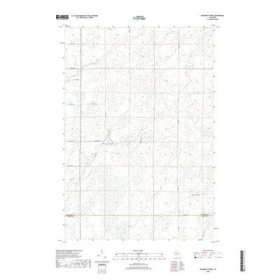 2018 Hogsback Creek2018 Print · USGSThe Sawyer and Rusk county line comes alive in the late twenty-teens, showcasing a landscape carved by the Brunet River. Researchers can trace the rural road network including Old Hwy J and Bissell Grade Rd through the creek-fed lowlands of Nail Cr and Tupper Cr.
 - 2018 Map of Exeland SE, 2018 Print
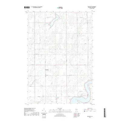 2018 Exeland SE2018 Print · USGSThis Rusk County landscape in 2018 is defined by the winding Thornapple River and the expansive Dairyland Reservoir. Local researchers can trace rural heritage through sites like the Round Meadow Community Club and old family routes such as Fedyn Rd.
Showing maps 1-25 of 29
Top cities near Hubbard
- Ladysmith historical maps
- Thornapple historical maps
- Bruce historical maps
- Weirgor historical maps
- Winter historical maps
- Ojibwa historical maps
See more
Frequently asked questions
- What are the different types of historical maps available for Hubbard?
- What is the oldest map of Hubbard?
- Where can I purchase historical maps of Hubbard for my home or office?
- Where can I download high-res historical maps of Hubbard?
- Are there historical topographic maps available for Hubbard?
- Is there historical aerial imagery available for Hubbard?
- Where are historical maps of Hubbard sourced from?