1970s Maps of Arcadia, Wisconsin
Explore 6 historic maps of Arcadia from the 1970s. These maps offer a rare glimpse into what life looked like during the 1970s — showing old roads, neighborhoods, homes, and landmarks that have changed or disappeared over time.
Whether you're researching your family's past, planning a metal detecting trip, or studying how Arcadia's landscape evolved across the 1970s, these high-resolution maps are a powerful tool for exploring the history of this region.
- Focus on a specific era: All maps on this page are from the 1970s, giving you a focused view of this time period.
- See what’s changed: Compare century-old streets, trails, and buildings to today's modern landscape using overlays and satellite layers.
- Research with precision: Use these maps for genealogy, historical research, land use analysis, or educational projects.
- View, download, or print: Maps are fully viewable online in high resolution, and can be downloaded or printed for your own records.
Start exploring Arcadia's history through authentic maps from the 1970s. This is your window into the past.
Arcadia, WI maps
(6)- 1973 Map of Ettrick, 1975 Print
 1973 Ettrick1975 Print · USGSTrempealeau County’s distinctive coulee country is captured here during the 1970s, showcasing the tight-knit valley settlements and ridges of western Wisconsin. Genealogists can locate family landmarks like Vor Frelsers Cem, the French Creek Ch, and the rural community of Frenchville.
 - 1973 Map of Whitehall, 1975 Print
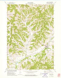
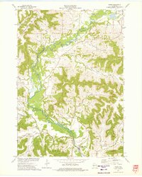
 1973 Whitehall1975 Print · USGSWhitehall and the Trempealeau River valley in the early 1970s reveal a landscape of deep coulees and ridge-top farms. Genealogists can trace family footprints at Old Whitehall Cem, Fagernes Ch, and the small settlement of Larkin.
 - 1973 Map of Independence, 1975 Print
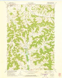
 1973 Independence1975 Print · USGSIndependence and Arcadia are mapped in the early 1970s as the rail-and-river economy defined this Trempealeau County corridor. Genealogists and historians can trace local landmarks like St Stanislaus Cem, the Green Bay and Western line, and Joe Pietrek Jr County Park.
 - 1973 Map of Swinns Valley, 1975 Print
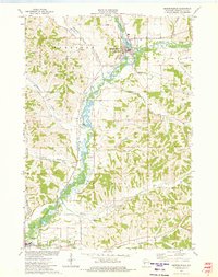
 1973 Swinns Valley1975 Print · USGSWisconsin's coulee country and the riverfront city of Arcadia are captured in the early seventies. Local historians can trace family-named landmarks like Swinns Valley and Glencoe Ridge or locate the Glencoe Cem.
 - 1973 Map of Dodge, 1975 Print
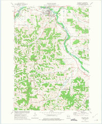
 1973 Dodge1975 Print · USGSWestern Wisconsin's river valleys and steep ridges are captured in the early seventies, showing the rural character of the Driftless Area. Researchers can find family burial sites like Bohris Valley Cem and trace the Green Bay and Western rail line near Dodge.
 - 1973 Map of Tamarack, 1975 Print
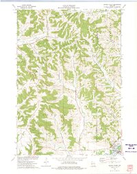
 1973 Tamarack1975 Print · USGSTrempealeau County in the early seventies shows a landscape of deep coulees and ridges defined by a traditional rural economy. Genealogists can locate family-named landmarks and burial sites like Arcadia Cem, Severson Coulee, and Tamarack Ch.
End of results
Showing maps 1-6 of 6
Top cities near Arcadia
- Winona historical maps
- Holmen historical maps
- Arcadia historical maps
- Goodview historical maps
- Whitehall historical maps
- Independence historical maps
See more
Top neighborhoods of Arcadia
Frequently asked questions
- What are the different types of historical maps available for Arcadia?
- What is the oldest map of Arcadia?
- Where can I purchase historical maps of Arcadia for my home or office?
- Where can I download high-res historical maps of Arcadia?
- Are there historical topographic maps available for Arcadia?
- Is there historical aerial imagery available for Arcadia?
- Where are historical maps of Arcadia sourced from?