Old Maps of Arcadia, Wisconsin for Hiking & Exploration
Hike through history with 47 historic maps of Arcadia. Explore old trails, ghost towns, and forgotten backroads — perfect for outdoor adventurers and local explorers.
- Rediscover forgotten places: Map out old mining camps, roads, and footpaths that no longer exist on modern maps.
- Layer with modern tools: Combine with LiDAR or satellite views to plan hikes through historical terrain.
- Made for exploration: Popular among hikers, overlanders, and local history lovers.
Use these maps to find adventure and explore the hidden past of Arcadia.
Arcadia, WI maps
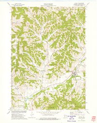
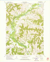
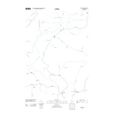
(47)- 1926 Map of Whitehall, 1972 Print
 1926 Whitehall1972 Print · USGSTrempealeau County is captured here in the mid-twenties, a landscape of coulees and river valleys shaped by the Green Bay and Western Railroad. Genealogists can locate dozens of country schools and homestead-named landmarks like Chimney Rock or the Trempealeau County Asylum.
 - 1929 Map of Whitehall
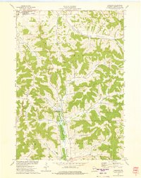
 1929 Whitehall1929 Print · USGSTrempealeau County during the late twenties is shown here as a dense network of coulees and river-bottom settlements. Researchers can trace early railroad history along the Green Bay and Western RR and locate many rural landmarks including the County Asylum and Brookside Sch.2 unique versions available
 - 1929 Map of Fountain City
 1929 Fountain City1929 Print · USGSIn the late twenties, the Mississippi River bluffs near Fountain City were defined by a steep landscape of narrow valleys and ridge-top farms. Researchers can trace dozens of rural school sites like Buffalo Ridge Sch and Oak Grove Sch among the winding tracks of State Hwy 35.2 unique versions available
 - 1929 Map of Galesville
 1929 Galesville1929 Print · USGSWisconsin's coulee country and the Mississippi riverfront are captured here in the mid-twenties, showing a landscape of bluff-top farms and river towns. Genealogists can locate family landmarks like Butman Corners, Norway Valley Ch, and numerous rural schools including Wayside Sch.2 unique versions available
 - 1932 Map of Gilmanton
 1932 Gilmanton1932 Print · USGSBuffalo and Trempealeau Counties appear here in the early thirties, showing a rural landscape organized around deep valleys and high ridges. Genealogists can locate dozens of family-named landmarks and country schools like Lookout Sch and the Irish Valley Sch.2 unique versions available
 - 1934 Map of Winona, 1955 Print
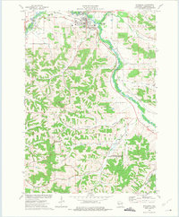
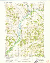
 1934 Winona1955 Print · USGSThe Mississippi River valley in the mid-1930s reveals a complex network of rail lines and river engineering. Researchers can trace the grounds of St Marys College, find rural schools like Meyers Sch, and locate the early infrastructure of Lock and Dam No 5A.2 unique versions available
 - 1937 Map of Winona
 1937 Winona1937 Print · USGSIn the mid-thirties, the Mississippi River valley near Winona was a bustling network of rail yards and river channels. Genealogists and historians can trace the foundations of local communities through landmarks like St Marys College, the St Marys Cem, and vanished schoolhouses like Bohris Valley Sch.3 unique versions available
 - 1953 Map of Eau Claire, 1965 Print
 1953 Eau Claire1965 Print · USGSWest-central Wisconsin in the mid-fifties shows a landscape of river-valley industry and vast wildlife refuges during the transition from rails to modern highways. Genealogists and historians can trace the rail corridors of the Chicago and North Western or locate family-named landmarks like Decorah Mound and Chippewa Island.4 unique versions available
 - 1958 Map of Eau Claire
 1958 Eau Claire1958 Print · USGSWestern Wisconsin in the late fifties shows a landscape of growing regional hubs and massive wildlife refuges. Trace the rail lines of the Chicago and North Western between Eau Claire and Marshfield, or explore the terrain around Iron Mound and Lake Wissota.
 - 1964 Map of Eau Claire
 1964 Eau Claire1964 Print · USGSWest-central Wisconsin in the mid-1960s was a hub of river-driven industry and expanding rail networks. Researchers can trace historic homesteads near Menomonie, follow the Soo Line RR through Marshfield, or explore the grounds of the Camp McCoy Military Reservation.
 - 1973 Map of Ettrick, 1975 Print
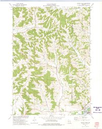
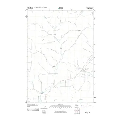
 1973 Ettrick1975 Print · USGSTrempealeau County’s distinctive coulee country is captured here during the 1970s, showcasing the tight-knit valley settlements and ridges of western Wisconsin. Genealogists can locate family landmarks like Vor Frelsers Cem, the French Creek Ch, and the rural community of Frenchville.
 - 1973 Map of Whitehall, 1975 Print
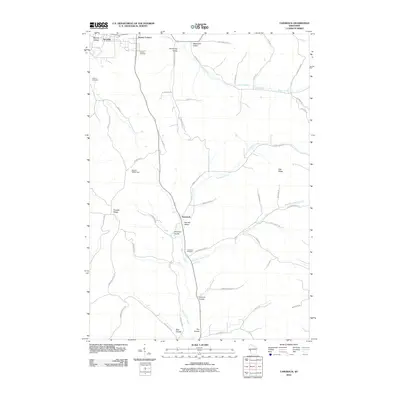
 1973 Whitehall1975 Print · USGSWhitehall and the Trempealeau River valley in the early 1970s reveal a landscape of deep coulees and ridge-top farms. Genealogists can trace family footprints at Old Whitehall Cem, Fagernes Ch, and the small settlement of Larkin.
 - 1973 Map of Independence, 1975 Print
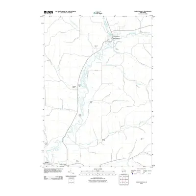
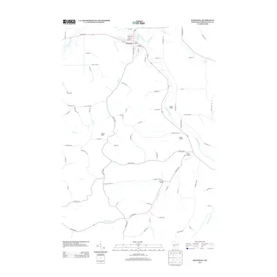
 1973 Independence1975 Print · USGSIndependence and Arcadia are mapped in the early 1970s as the rail-and-river economy defined this Trempealeau County corridor. Genealogists and historians can trace local landmarks like St Stanislaus Cem, the Green Bay and Western line, and Joe Pietrek Jr County Park.
 - 1973 Map of Swinns Valley, 1975 Print
 1973 Swinns Valley1975 Print · USGSWisconsin's coulee country and the riverfront city of Arcadia are captured in the early seventies. Local historians can trace family-named landmarks like Swinns Valley and Glencoe Ridge or locate the Glencoe Cem.
 - 1973 Map of Dodge, 1975 Print
 1973 Dodge1975 Print · USGSWestern Wisconsin's river valleys and steep ridges are captured in the early seventies, showing the rural character of the Driftless Area. Researchers can find family burial sites like Bohris Valley Cem and trace the Green Bay and Western rail line near Dodge.
 - 1973 Map of Tamarack, 1975 Print
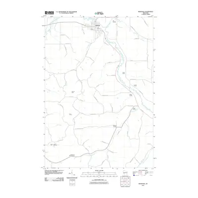
 1973 Tamarack1975 Print · USGSTrempealeau County in the early seventies shows a landscape of deep coulees and ridges defined by a traditional rural economy. Genealogists can locate family-named landmarks and burial sites like Arcadia Cem, Severson Coulee, and Tamarack Ch.
 - 1985 Map of Winona
 1985 Winona1985 Print · USGSThe Mississippi River valley and the coulees of the Driftless Area are shown here in the mid-1980s as the river's lock-and-dam system was well-established. Researchers can trace the riverfront at Winona, explore the bluffs near Galesville, or locate landmarks like Sugarloaf and Merrick State Park.2 unique versions available
 - 2010 Map of Dodge, 2010 Print
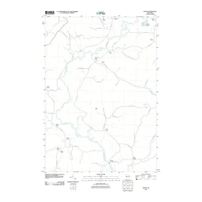 2010 Dodge2010 Print · USGSCovers Arcadia, including Glencoe, Dodge, and other nearby areas
 - 2010 Map of Swinns Valley, 2010 Print
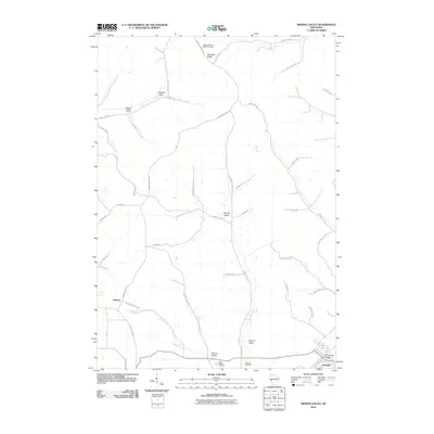 2010 Swinns Valley2010 Print · USGSCovers Arcadia, including Glencoe, Montana, and other nearby areas
 - 2010 Map of Whitehall, 2010 Print
 2010 Whitehall2010 Print · USGSCovers Arcadia, including Whitehall, Preston, and other nearby areas
 - 2010 Map of Ettrick, 2010 Print
 2010 Ettrick2010 Print · USGSCovers Arcadia, including Ettrick, Preston, and other nearby areas
 - 2010 Map of Independence, 2010 Print
 2010 Independence2010 Print · USGSCovers Arcadia, including Independence, Dewey Corners, and other nearby areas
 - 2010 Map of Tamarack, 2010 Print
 2010 Tamarack2010 Print · USGSCovers Arcadia, including Dodge, Trempealeau, and other nearby areas
 - 2013 Map of Dodge, 2013 Print
 2013 Dodge2013 Print · USGSCovers Arcadia, including Glencoe, Dodge, and other nearby areas
 - 2013 Map of Whitehall, 2013 Print
 2013 Whitehall2013 Print · USGSCovers Arcadia, including Whitehall, Preston, and other nearby areas
Showing maps 1-25 of 47
Top cities near Arcadia
- Winona historical maps
- Holmen historical maps
- Arcadia historical maps
- Goodview historical maps
- Whitehall historical maps
- Independence historical maps
See more
Top neighborhoods of Arcadia
Frequently asked questions
- What are the different types of historical maps available for Arcadia?
- What is the oldest map of Arcadia?
- Where can I purchase historical maps of Arcadia for my home or office?
- Where can I download high-res historical maps of Arcadia?
- Are there historical topographic maps available for Arcadia?
- Is there historical aerial imagery available for Arcadia?
- Where are historical maps of Arcadia sourced from?