2000s (21st Century) Maps of Arcadia, Wisconsin
Explore 30 historic maps of Arcadia from the 2000s (21st Century). These maps offer a rare glimpse into what life looked like during the 2000s — showing old roads, neighborhoods, homes, and landmarks that have changed or disappeared over time.
Whether you're researching your family's past, planning a metal detecting trip, or studying how Arcadia's landscape evolved across the 2000s, these high-resolution maps are a powerful tool for exploring the history of this region.
- Focus on a specific era: All maps on this page are from the 2000s, giving you a focused view of this time period.
- See what’s changed: Compare century-old streets, trails, and buildings to today's modern landscape using overlays and satellite layers.
- Research with precision: Use these maps for genealogy, historical research, land use analysis, or educational projects.
- View, download, or print: Maps are fully viewable online in high resolution, and can be downloaded or printed for your own records.
Start exploring Arcadia's history through authentic maps from the 2000s. This is your window into the past.
Arcadia, WI maps
(30)- 2010 Map of Dodge, 2010 Print
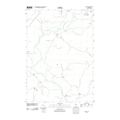 2010 Dodge2010 Print · USGSWisconsin's Trempealeau County comes into focus in this early 21st-century study of the river valleys and rural roads near Dodge. Researchers can locate several burial grounds, including Cortland Cemetery and Saint Joseph Cemetery, while tracing the course of Trout Run Creek.
 - 2010 Map of Swinns Valley, 2010 Print
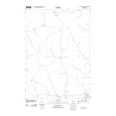 2010 Swinns Valley2010 Print · USGSThe river valleys of Trempealeau County are seen here in the early 21st century, centered on the community of Arcadia. Family historians can trace ancestral lands near Glencoe or locate burial sites like Lower Montana Ridge Cemetery and Saint Joseph Cemetery.
 - 2010 Map of Whitehall, 2010 Print
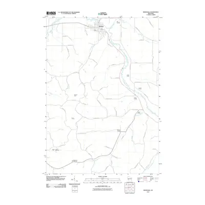 2010 Whitehall2010 Print · USGSThe Trempealeau River valley in the early twenty-first century reveals a landscape shaped by its distinct coulees and rural crossroads. Local historians can trace family roots through sites like Old Whitehall Cemetery, Carpenter Cemetery, and the prominent Square Bluff.
 - 2010 Map of Ettrick, 2010 Print
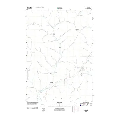 2010 Ettrick2010 Print · USGSThe coulee country of Trempealeau County is captured here in the early twenty-first century, showing the enduring agricultural patterns of the Beaver Creek valley. Genealogists can trace family connections at Vor Frelsers Cemetery or Saint Bridget Cemetery near the settlements of Ettrick and Frenchville.
 - 2010 Map of Independence, 2010 Print
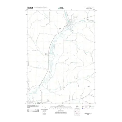 2010 Independence2010 Print · USGSTrempealeau County at the start of the 2010s reveals a landscape of river valleys and agricultural centers. Genealogists can trace family landmarks and cemeteries such as Bethel Cemetery and Saint Stanislaus Cemetery near the waters of Bugle Lake.
 - 2010 Map of Tamarack, 2010 Print
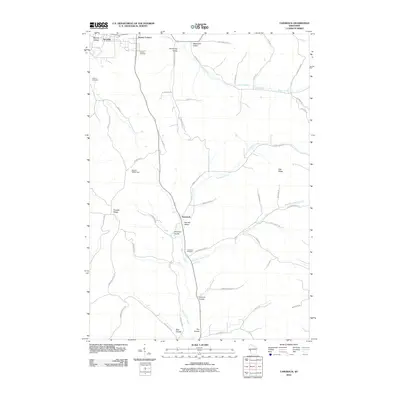 2010 Tamarack2010 Print · USGSThe coulees and ridges of Trempealeau County are revealed in this modern survey of the Driftless Area. Researchers can trace family history through several local landmarks like Arcadia Cemetery, the community of Tamarack, and Severson Coulee.
 - 2013 Map of Dodge, 2013 Print
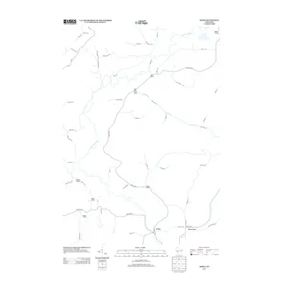 2013 Dodge2013 Print · USGSWisconsin's coulee country is captured here in the early twenty-first century, showing the rural settlements of Dodge and Pine Creek. Genealogists and local historians can trace family-named landmarks through Buehler Valley, Bohris Valley, and the banks of the Trempealeau River.
 - 2013 Map of Whitehall, 2013 Print
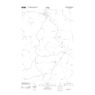 2013 Whitehall2013 Print · USGSThe coulee country of Trempealeau County comes into focus in this early twenty-first century survey of the Whitehall area. Genealogists and local historians can trace the rural landscape through family-named landmarks and valley settlements like Irvin Coulee, Larkin Valley, and Welch Coulee.
 - 2013 Map of Swinns Valley, 2013 Print
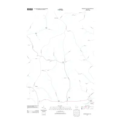 2013 Swinns Valley2013 Print · USGSTrempealeau County's ridge-and-valley landscape is documented here in the early 2010s, showing a region defined by its agricultural heritage. Genealogists can trace family-named landmarks and rural corridors like Dascher Valley, Riecks Valley, and the settlement of Glencoe.
 - 2013 Map of Ettrick, 2013 Print
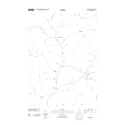 2013 Ettrick2013 Print · USGSWisconsin's coulee country is documented in detail here during the early twenty-first century. Researchers can trace the rural road networks and family-named landmarks that define this region, including Johnson Peak, Frenchville, and the various valleys like Mason Coulee.
 - 2013 Map of Tamarack, 2013 Print
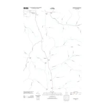 2013 Tamarack2013 Print · USGSTrempealeau County's characteristic coulee country is documented here in the early twenty-first century as agriculture and topography intersect. Genealogists and local historians can trace family-named landmarks and rural routes through Norway Valley, Oak Ridge, and German Coulee.
 - 2013 Map of Independence, 2013 Print
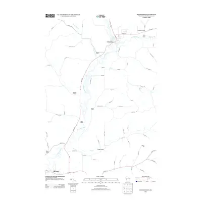 2013 Independence2013 Print · USGSThe Trempealeau River valley in the early twenty-first century shows a landscape of established towns and named agricultural coulees. Researchers can trace land tracts and local routes through Lewis Valley, Maule Coulee, and the riverside streets of Independence.
 - 2015 Map of Whitehall, 2015 Print
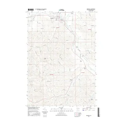 2015 Whitehall2015 Print · USGSIn the driftless region during the mid-2010s, this area shows a landscape defined by deep valleys and the winding Trempealeau River. Researchers can trace old family burial sites like Lincoln Cem and explore the geography of Irvin Coulee and Larkin Valley.
 - 2015 Map of Swinns Valley, 2015 Print
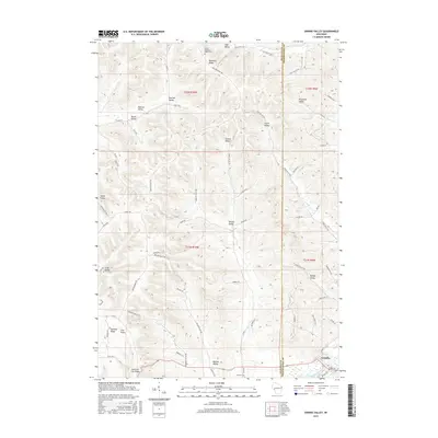 2015 Swinns Valley2015 Print · USGSThe Driftless Area of western Wisconsin is mapped here in the early twenty-first century, showing the deeply etched coulees around Arcadia. Researchers can trace old family lands and ridge-top settlements near Lower Montana Ridge Cem and Swinns Valley.
 - 2015 Map of Ettrick, 2015 Print
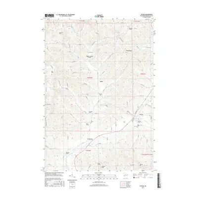 2015 Ettrick2015 Print · USGSIn the coulee country of western Wisconsin during the mid-2010s, this area shows a landscape shaped by its deep valleys and rural homesteads. Genealogists and local historians can trace the locations of Saint Bridget Cem, Frenchville, and Mason Coulee.
 - 2015 Map of Dodge, 2015 Print
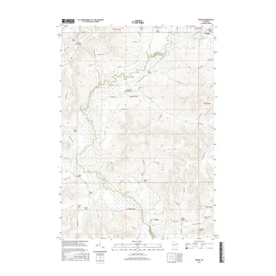 2015 Dodge2015 Print · USGSThe coulee country of Trempealeau County comes into focus in this recent survey of the ridges and valleys surrounding Dodge. Genealogists and local historians can trace family land in Bohris Valley, locate Saint Joseph Cem, and follow the winding path of Trout Run Cr.
 - 2015 Map of Independence, 2015 Print
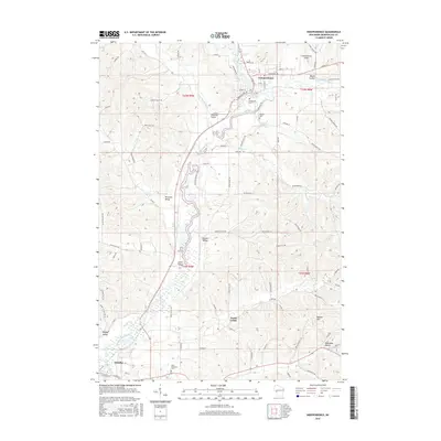 2015 Independence2015 Print · USGSTrempealeau County at the start of the twenty-first century reveals a landscape of tight-knit valleys and river bends. Genealogists can trace family landmarks and rural life through Greenwood Cem, North Creek, and the many coulees such as Maule Coulee.
 - 2015 Map of Tamarack, 2015 Print
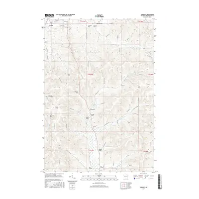 2015 Tamarack2015 Print · USGSWisconsin's coulee country is on full display in the mid-2010s, showing the intersection of ridge-top farms and valley settlements. Researchers can trace family sites near Arcadia, locate Tamarack Cem, or follow the winding paths of Severson Coulee and German Coulee.
 - 2018 Map of Ettrick, 2018 Print
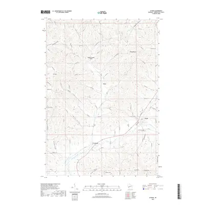 2018 Ettrick2018 Print · USGSWisconsin's Trempealeau County is shown here in the late 2010s, where rural life is organized around the deep valleys and ridges of the Coulee Region. Genealogists can locate family landmarks like Peacock Hill and local burial grounds such as Saint Bridget Cem and Ettrick Cem.
 - 2018 Map of Tamarack, 2018 Print
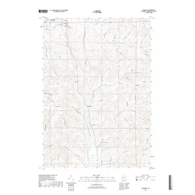 2018 Tamarack2018 Print · USGSWisconsin's driftless coulee country is documented here in the late 2010s, showing the intersection of ridge-top farming and valley-bottom settlements. Genealogists and local historians can map out family farmsteads near Tamarack or trace burials at Arcadia Cem and Tamarack Cem.
 - 2018 Map of Independence, 2018 Print
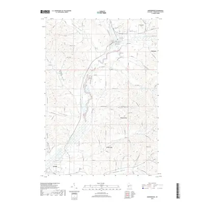 2018 Independence2018 Print · USGSTrempealeau County comes into focus in this recent survey of the river valleys and ridge-top farms near Independence. Researchers can trace local lineage through Saint Stanislaus Cem or explore the geography of Korpal Valley and Bugle Lake.
 - 2018 Map of Swinns Valley, 2018 Print
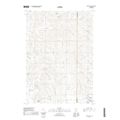 2018 Swinns Valley2018 Print · USGSWestern Wisconsin's ridge and coulee country is captured in the late 2010s as it transitions from the flats of Arcadia to the high Montana Ridge. Researchers can trace old family-named drainages like Joos Valley and Riecks Valley or locate the Lower Montana Ridge Cem.
 - 2018 Map of Dodge, 2018 Print
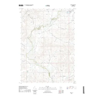 2018 Dodge2018 Print · USGSThe river valleys and ridges of Trempealeau County are meticulously detailed in this recent topographical survey. Family history researchers can locate rural landmarks such as Saint Joseph Cem and the small settlements of Dodge and Pine Creek.
 - 2018 Map of Whitehall, 2018 Print
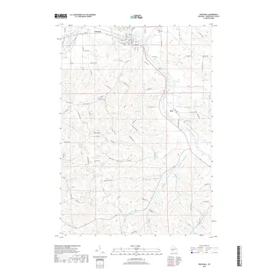 2018 Whitehall2018 Print · USGSTrempealeau County settlement and valley topography are preserved here in 2018, centered on the riverfront communities of Whitehall and Blair. Genealogists and local historians can trace family locations through Lincoln Cem, Tinnes Cem, and Square Bluff.
 - 2022 Map of Swinns Valley, 2022 Print
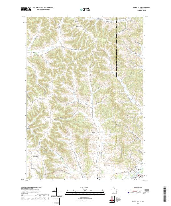 2022 Swinns Valley2022 Print · USGSThe coulees and ridges of the Wisconsin Driftless Area are shown here in modern detail, from the height of Montana Ridge down to the Trempealeau River. Researchers can locate the Lower Montana Ridge Cem, the city of Arcadia, and the winding Swinns Valley.
Showing maps 1-25 of 30
Top cities near Arcadia
- Winona historical maps
- Holmen historical maps
- Arcadia historical maps
- Goodview historical maps
- Whitehall historical maps
- Independence historical maps
See more
Top neighborhoods of Arcadia
Frequently asked questions
- What are the different types of historical maps available for Arcadia?
- What is the oldest map of Arcadia?
- Where can I purchase historical maps of Arcadia for my home or office?
- Where can I download high-res historical maps of Arcadia?
- Are there historical topographic maps available for Arcadia?
- Is there historical aerial imagery available for Arcadia?
- Where are historical maps of Arcadia sourced from?