2020s Maps of Washburn County, Wisconsin
Explore 25 historic maps of Washburn County from the 2020s. These maps offer a rare glimpse into what life looked like during the 2020s — showing old roads, neighborhoods, homes, and landmarks that have changed or disappeared over time.
Whether you're researching your family's past, planning a metal detecting trip, or studying how Washburn County's landscape evolved across the 2020s, these high-resolution maps are a powerful tool for exploring the history of this region.
- Focus on a specific era: All maps on this page are from the 2020s, giving you a focused view of this time period.
- See what’s changed: Compare century-old streets, trails, and buildings to today's modern landscape using overlays and satellite layers.
- Research with precision: Use these maps for genealogy, historical research, land use analysis, or educational projects.
- View, download, or print: Maps are fully viewable online in high resolution, and can be downloaded or printed for your own records.
Start exploring Washburn County's history through authentic maps from the 2020s. This is your window into the past.
Washburn County, WI maps
(25)- 2022 Map of Springbrook, 2022 Print
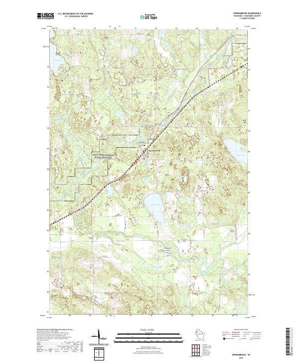 2022 Springbrook2022 Print · USGSWashburn County's lake-strewn landscape is captured in the early 2020s as the Namekagon River winds through the Saint Croix National Scenic Riverway. Researchers can locate Saint Mary Magdalene Cem and trace the rural surroundings of Springbrook and Willie's Airport.
 - 2022 Map of Trego, 2022 Print
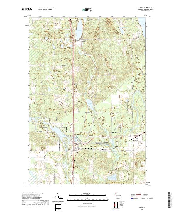 2022 Trego2022 Print · USGSWashburn County's river valleys and lake country are captured in this recent survey of the Trego and Earl communities. Local historians can trace the Namekagon River corridor through the Saint Croix National Scenic Riverway and locate family sites at Earl Cem or Lampson Cem.
 - 2022 Map of Birchwood, 2022 Print
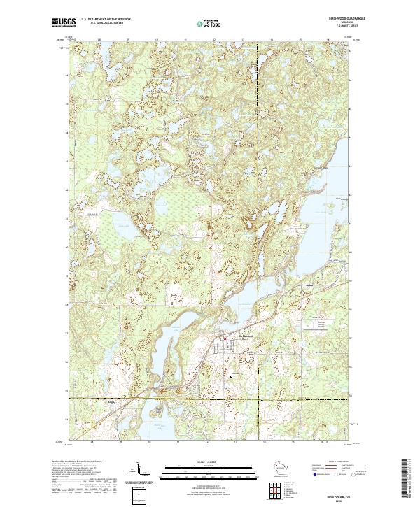 2022 Birchwood2022 Print · USGSThe village of Birchwood and its surrounding lake country are shown at the intersection of four counties in the 2020s. Researchers can locate Woodlawn Cem, trace the Tuscobia State Trl, and explore the shorelines of Lake Chetac and Red Cedar Lake.
 - 2022 Map of Nobleton, 2022 Print
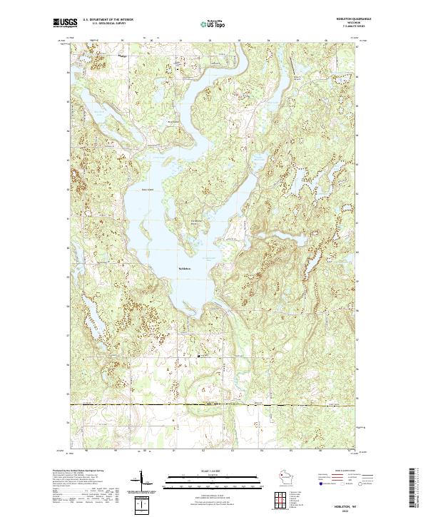 2022 Nobleton2022 Print · USGSWashburn County's lake district is shown here in the 2020s, centered on the intricate shoreline of Long Lake. Researchers can trace local heritage through the Madge Evergreen Cem, the Abandoned RR, and landmarks like Christiana Point.
 - 2022 Map of Shell Lake, 2022 Print
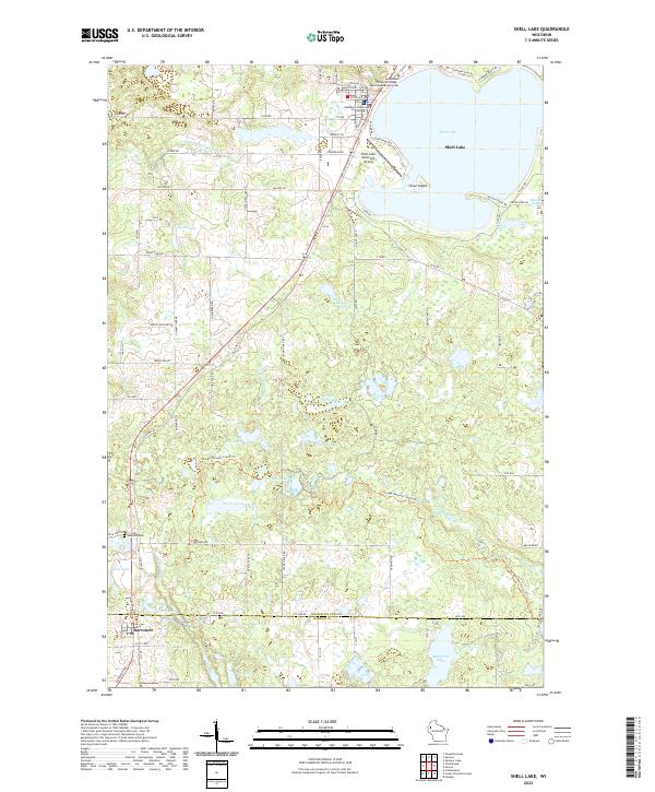 2022 Shell Lake2022 Print · USGSWashburn County's lake country is captured here in the early twenty-first century, showcasing the development around the city of Shell Lake and the settlement of Barronett. Genealogists and hikers can trace the Ice Age National Scenic Trl or locate the Lakeside Cem and Washburn County Courthouse.
 - 2022 Map of Chittamo, 2022 Print
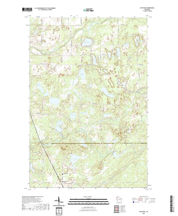 2022 Chittamo2022 Print · USGSThe border of Douglas and Washburn Counties in northern Wisconsin is documented here in the early twenty-first century. Genealogists and local historians can locate Chittamo and the Chittamo Cem or trace the banks of the Totagatic River and Derosier Lake.
 - 2022 Map of Bean Lake, 2022 Print
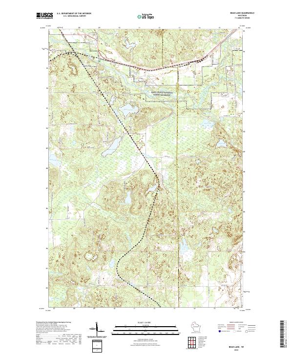 2022 Bean Lake2022 Print · USGSNorthern Wisconsin lake country and the protected river corridor are documented here in the early twenty-first century. Genealogists and researchers can trace the hydrology and family-named routes around Bean Lake, Tripp Lake, and the Saint Croix National Wild and Scenic Riverway.
 - 2022 Map of Horseshoe Lake, 2022 Print
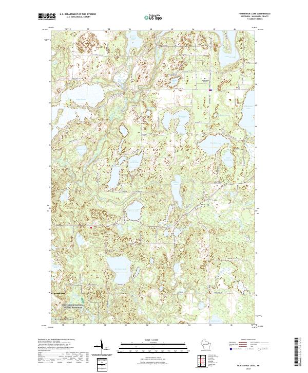 2022 Horseshoe Lake2022 Print · USGSWashburn County's lake country is captured here in the early twenty-first century, showing a landscape defined by the Saint Croix River and dozens of glacial lakes. Researchers can locate the Chicog Cem and trace the Totagatic River as it winds past Lake Nancy and Banks Lake.
 - 2022 Map of Poquettes Lake, 2022 Print
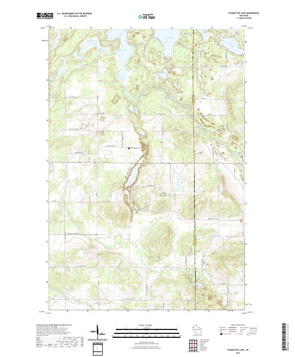 2022 Poquettes Lake2022 Print · USGSBurnett and Washburn counties are shown in this modern survey of the lake-studded Wisconsin woods. Researchers can locate Greendale Cem and trace the paths of the Yellow River and Bashaw Trout Springs across the landscape.
 - 2022 Map of Spooner, 2022 Print
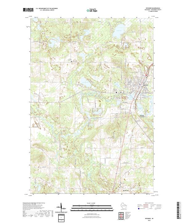 2022 Spooner2022 Print · USGSSpooner and the upper Yellow River valley are documented here in the early twenty-first century, showing a landscape defined by glacial lakes and rail heritage. Researchers can locate several burial sites like Rocky Ridge Cem and follow the waters of Beaver Brook through Chicago Junction.
 - 2022 Map of Sarona, 2022 Print
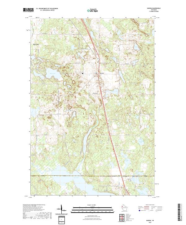 2022 Sarona2022 Print · USGSThe area around Sarona and the Washburn County line is documented here in the early twenty-first century. Genealogists and local historians can trace the rural road network to landmarks like the Sarona Cem, Ripley Lake, and the Wild Rivers State Trl.
 - 2022 Map of Scovils Lake, 2022 Print
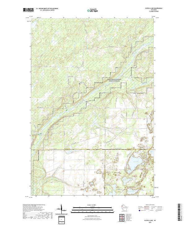 2022 Scovils Lake2022 Print · USGSNorthwestern Wisconsin's river country is captured here in the early 2020s, centered on the Saint Croix River. Researchers can locate Riverhill Cem and trace the many seasonal paths like Snow Mobile Trl near Scovils Lake.
 - 2022 Map of Gordon, 2022 Print
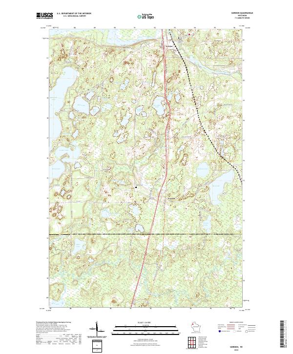 2022 Gordon2022 Print · USGSDouglas County's lake country is captured here in the early twenty-first century, centered on the confluence of the Saint Croix River and Eau Claire River. Researchers can trace local lineage at Gordon Memorial Cem or follow the Wild Rivers State Trl through Wascott.
 - 2022 Map of Chittamo NE, 2022 Print
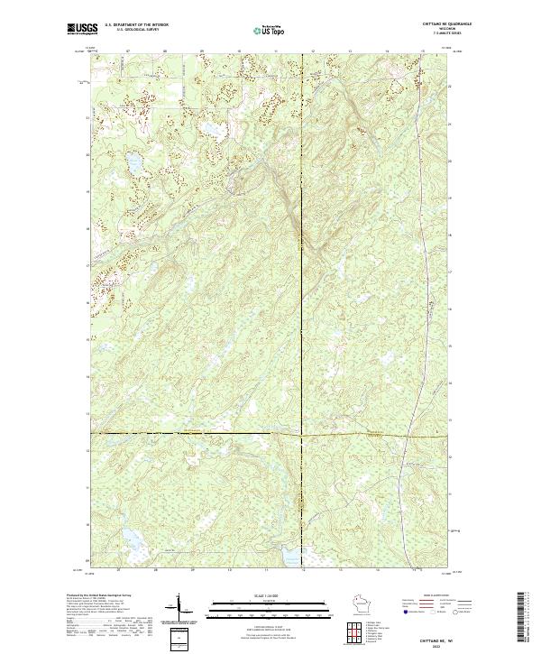 2022 Chittamo NE2022 Print · USGSThis northwestern Wisconsin landscape near the four-county junction of Douglas, Bayfield, Washburn, and Sawyer shows a complex network of waterways in the early 2020s. Researchers can trace the path of the Totagatic River or explore local landmarks like Goose Lake and Totagatic Flowage.
 - 2022 Map of Frog Lake, 2022 Print
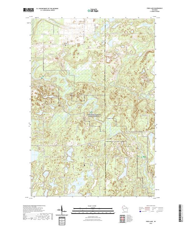 2022 Frog Lake2022 Print · USGSNorthwestern Wisconsin's glacial lake country is captured here in the early 2020s, showing the protected Saint Croix National Scenic Riverway. Researchers can locate Forest Home Cem and Webb Lake Cem among dozens of named waters like Saginaw Lake.
 - 2022 Map of Stanberry West, 2022 Print
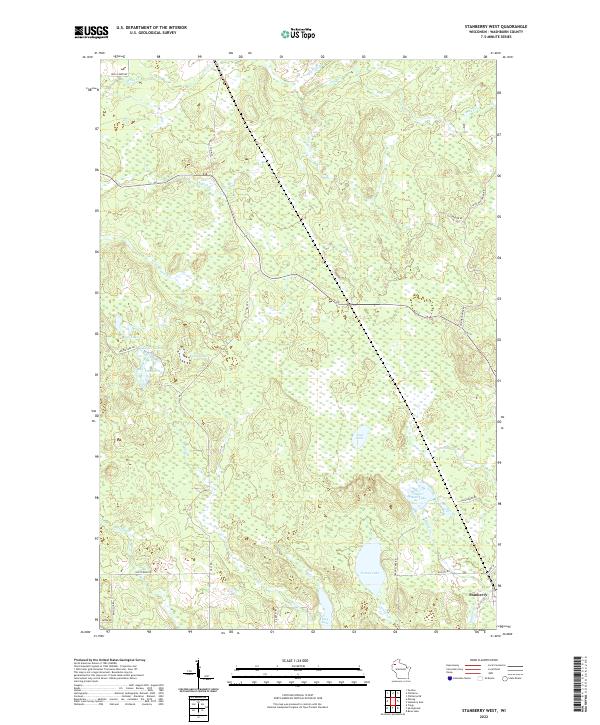 2022 Stanberry West2022 Print · USGSWashburn County's Northwoods landscape in the early 2020s is defined by its glacial lakes and the small settlement of Stanberry. Researchers can trace the drainage of Tranus Lake and Sugar Bush Lake or locate family properties along Hall Rd and Gull Creek Rd.
 - 2022 Map of Minong, 2022 Print
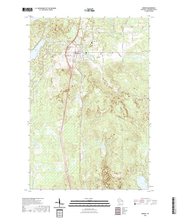 2022 Minong2022 Print · USGSMinong and the surrounding northwoods of Washburn County are captured here in the early twenty-first century. Genealogists can locate family landmarks like Old Minong Cem and Greenwood Cem, or trace the path of the Wild Rivers State Trl past Bond Lake.
 - 2022 Map of Stanberry East, 2022 Print
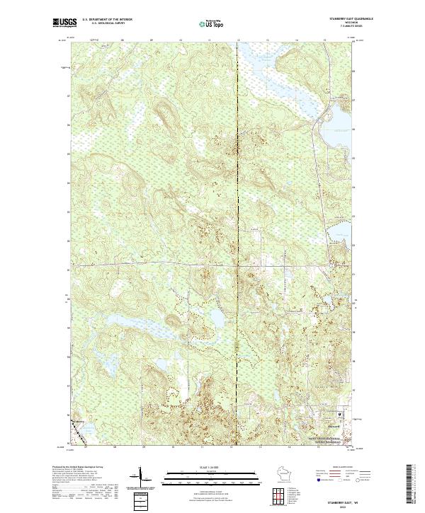 2022 Stanberry East2022 Print · USGSThe borderlands of Washburn and Sawyer counties come alive in this recent survey of the lake country. Researchers can trace family sites near Greenwood Cem or explore the vast wetlands of Kissick Swamp and the shores of Nelson Lake.
 - 2022 Map of McKenzie Lake, 2022 Print
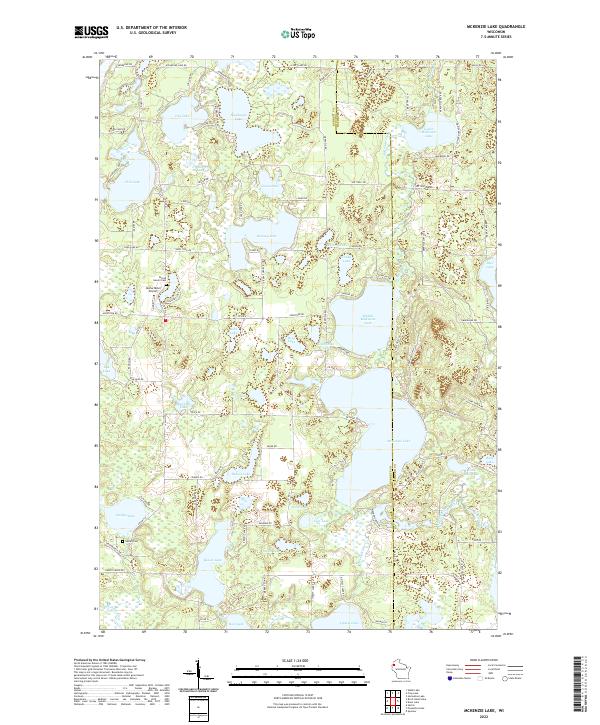 2022 McKenzie Lake2022 Print · USGSThe lake-strewn border of Burnett and Washburn counties is captured here in the early twenty-first century, showing a landscape defined by water and woods. Genealogists and local historians can locate Sacred Hearts Cem, Gaslyn Cem, and the Alpha Hotel Airport near McKenzie Lake.
 - 2022 Map of Minong Flowage, 2022 Print
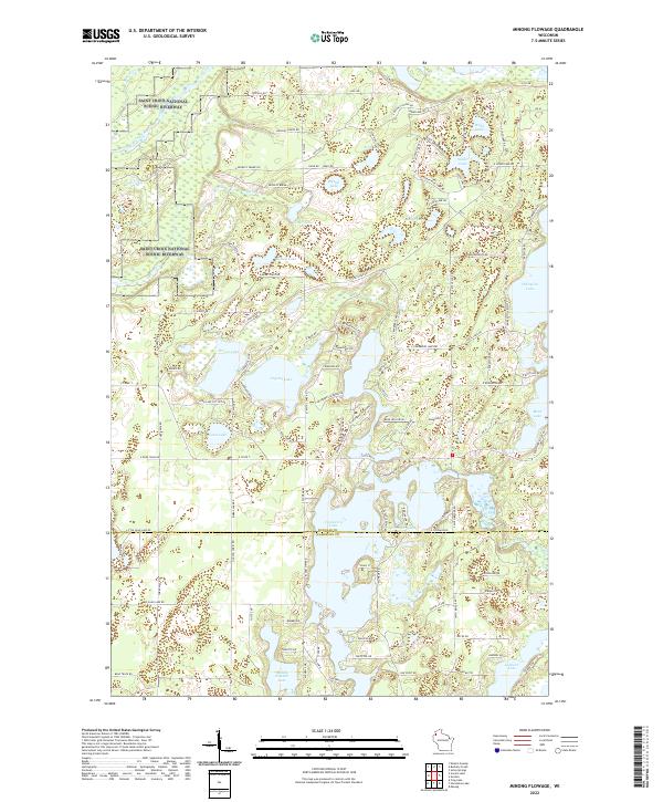 2022 Minong Flowage2022 Print · USGSDouglas and Washburn counties are captured in the early 2020s as a modern Northwoods retreat defined by the St. Croix and Totagatic rivers. Researchers can trace lakeside development and conservation boundaries near Cranberry Lake, Spider Lake, and the Saint Croix Wild and Scenic River.
 - 2022 Map of Timberland, 2022 Print
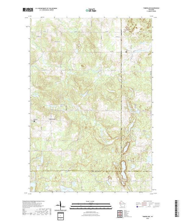 2022 Timberland2022 Print · USGSNorthwestern Wisconsin’s glacial landscape is captured here in the early twenty-first century where Burnett, Washburn, and Barron counties meet. Researchers can trace the Ice Age National Scenic Trl as it winds past Timberland and the Timberland Ringebu Cem.
 - 2022 Map of Spooner Lake, 2022 Print
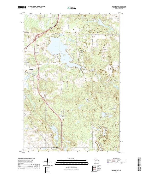 2022 Spooner Lake2022 Print · USGSWashburn County at the start of the 2020s shows a landscape deeply connected by water and rail-trail history. Researchers can trace the Wild Rivers State Trl past Spooner Lake or locate family sites near Anah Cem and Beaver Brook.
 - 2022 Map of Potato Lake, 2022 Print
 2022 Potato Lake2022 Print · USGSWashburn County's lake country is captured here in the early twenty-first century, showing a landscape defined by water and woods. Genealogists and local historians can trace lakeside properties and family landmarks like Mackay Springs, Westenberg Spring, and The Narrows.
 - 2022 Map of Stone Lake, 2022 Print
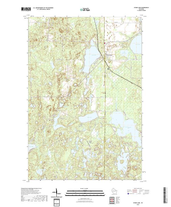 2022 Stone Lake2022 Print · USGSWashburn and Sawyer counties meet at the village of Stone Lake in this recent survey of the Wisconsin lake country. Researchers can trace family-named roads and remote landmarks like Evergreen Cem and Lakewood Lodge Airport.
 - 2022 Map of Dunn Lake, 2022 Print
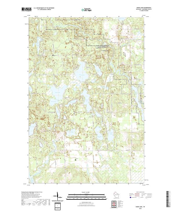 2022 Dunn Lake2022 Print · USGSWashburn County's lake country is captured in the early twenty-first century, showing the protected Saint Croix National Scenic Riverway. Genealogists and local historians can locate Rosewood Cem, Fox Cem, and family-named routes like Schmidt Ln.
End of results
Showing maps 1-25 of 25
Top cities of Washburn County
- Spooner historical maps
- Shell Lake historical maps
- Trego historical maps
- Beaver Brook historical maps
- Minong historical maps
- Springbrook historical maps
See more
Frequently asked questions
- What are the different types of historical maps available for Washburn County?
- What is the oldest map of Washburn County?
- Where can I purchase historical maps of Washburn County for my home or office?
- Where can I download high-res historical maps of Washburn County?
- Are there historical topographic maps available for Washburn County?
- Is there historical aerial imagery available for Washburn County?
- Where are historical maps of Washburn County sourced from?