Old Maps of Minong, Wisconsin for Metal Detecting
Plan your next treasure hunt with 47 historic maps of Minong. Find old homesites, ghost towns, trails, and gathering spots that may be lost to time — perfect for identifying promising metal detecting locations.
- Locate forgotten sites: Uncover places like long-lost settlements, abandoned rail lines, or gathering spots.
- Plan better hunts: Use map overlays combined with LiDAR or satellite views to narrow in on historically rich areas.
- Made for detectorists: Thousands of hobbyists use these maps to discover relics, coins, and hidden history.
Use these historic maps to boost your research and find new opportunities beneath the surface of Minong.
Minong, WI maps
(47)- 1947 Map of Minong, 1964 Print
 1947 Minong1964 Print · USGSNorthwest Wisconsin's lake country is captured here in the late 1940s as rail and road corridors began to open the woods for more permanent settlement. Genealogists can locate family-named landmarks and rural hubs like Wascott Ch, Hoover Sch, and the village of Minong.
 - 1949 Map of Minong
 1949 Minong1949 Print · USGSNorthwestern Wisconsin’s lake country is captured here in the late 1940s, when the North Western railroad still linked small timber and rail towns. Researchers can locate vanished landmarks like Hoover Sch, Wascott Ch, and the small settlement of Lakeside.
 - 1949 Map of Webb Lake
 1949 Webb Lake1949 Print · USGSNorthwest Wisconsin’s lake country is captured here in the late 1940s as rural life centered on the St Croix River. Researchers can trace old crossroads and remote outposts like Dairyland, Cozy Corners, and the historic Webb Lake Sch.
 - 1953 Map of Ashland, 1964 Print
 1953 Ashland1964 Print · USGSNorthern Wisconsin's lakefront and timberlands are seen here in the mid-1950s, showing the intersection of industrial rail lines and vast wilderness. Genealogists and historians can trace the Soo Line through rail towns like Mellen or locate family roots in the Apostle Islands and Bad River Indian Reservation.3 unique versions available
 - 1953 Map of Duluth, 1964 Print
 1953 Duluth1964 Print · USGSNortheastern Minnesota and northwestern Wisconsin are shown here during a period of industrial maturity and expanding conservation. Genealogists and historians can trace rail-connected towns like McGrath and Wahkon, or locate heritage sites within the Fond du Lac Indian Reservation.2 unique versions available
 - 1955 Map of Webb Lake, 1957 Print
 1955 Webb Lake1957 Print · USGSNorthwestern Wisconsin’s lake country is captured here in the mid-fifties, showing the confluence of the St. Croix and Namekagon rivers. Researchers can trace rural life through sites like Cozy Corner, the Webb Lake Sch, and the Dairyland Lookout Tower.2 unique versions available
 - 1958 Map of Ashland
 1958 Ashland1958 Print · USGSCoastal Wisconsin and the Michigan borderlands meet here in the late fifties, dominated by the timbered expanses and iron-rich ranges. Genealogists can trace family footprints in settlements like Odanah and Montreal, or locate landmarks such as the Coast Guard Station and Agricultural Experiment Station.
 - 1958 Map of Duluth
 1958 Duluth1958 Print · USGSNortheastern Minnesota and the Wisconsin borderlands are shown in detail during the late 1950s, centered on the bustling rail yards and ports of Duluth. You can trace the historic routes of the Soo Line and Duluth Missabe & Iron Range through small towns like McGrath, Bruno, and Wrenshall.
 - 1965 Map of Minong, 1967 Print
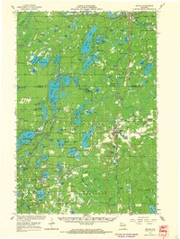 1965 Minong1967 Print · USGSWashburn and Douglas counties are shown here in the mid-sixties during a period of expanding forest management and rail-based commerce. Researchers can locate family sites and landmarks like Wascott Cemetery, Sutherland Landing Field, and the Minong settlement.
 - 1980 Map of Sandstone
 1980 Sandstone1980 Print · USGSPine County and the Minnesota-Wisconsin borderlands are shown here in the early eighties as a region of dense state forests and river corridors. Genealogists and historians can trace rail-town development along the Burlington Northern including Sandstone, Askov, and Hinckley.
 - 1980 Map of Solon Springs
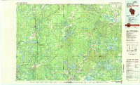 1980 Solon Springs1980 Print · USGSNorthern Wisconsin in the early eighties was a landscape of dense timber and sprawling glacial waters. Trace the legacy of the Chicago and North Western rail line through Solon Springs, Hayward, and Minong at this pivotal moment.
 - 1982 Map of Minong
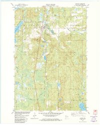 1982 Minong1982 Print · USGSWashburn County in the early eighties is a landscape of glacial lakes and rail-line villages. Researchers can trace the Chicago and North Western railroad through Minong, locating Greenwood Cem and the settlement at Stuntz.
 - 1982 Map of Horseshoe Lake
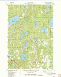 1982 Horseshoe Lake1982 Print · USGSWashburn County's lake country is captured here in the early eighties, showing a landscape defined by the Namekagon River and numerous glacial basins. Genealogists and local historians can trace small landings and community sites like Menah, Byrkits Landing, and the Sutherland Landing Strip.
 - 1982 Map of Gordon
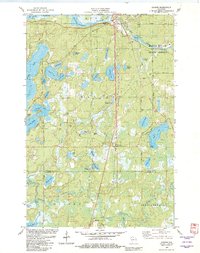 1982 Gordon1982 Print · USGSDouglas and Washburn counties are depicted in the early 1980s as the regional rail-and-river network supported both the timber industry and growing recreational use. Researchers can locate the Wascott Cem, trace the Chicago and North Western line through Wascott, and explore the many glacial basins like Bardon Lake.
 - 1982 Map of Minong Flowage, 1983 Print
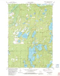 1982 Minong Flowage1983 Print · USGSWisconsin's north woods and the sprawling Minong Flowage are captured here in the early eighties. Outdoor enthusiasts and local historians can trace the paths of Hang Road, find the State Youth Camp, and locate numerous public lake access points.
 - 1983 Map of Frog Lake
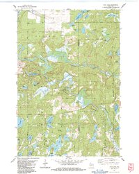 1983 Frog Lake1983 Print · USGSThe Burnett and Washburn county borderlands are shown here in the early eighties as a dense maze of glacial lakes and riverways. You can trace early township landmarks like Forest Home Cem, the Fivemile Lookout Tower, and crossings at McDowell Bridge.
 - 1983 Map of Scovils Lake
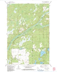 1983 Scovils Lake1983 Print · USGSThe St. Croix River corridor in the early 1980s reveals a landscape of protected riverways and quiet Northwoods settlements. Researchers can trace historic access points like Coppermine Dam or locate the Riverhill Cem and the former route of the Old RR Grade Road.
 - 2010 Map of Scovils Lake, 2010 Print
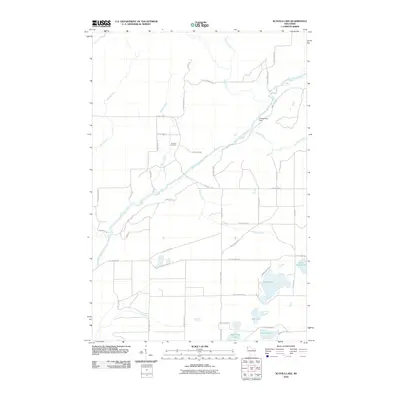 2010 Scovils Lake2010 Print · USGSThe Saint Croix River corridor in Douglas County was shaped by its water and woods at the start of the 2000s. Genealogists and local historians can trace family locations near Riverhill Cemetery or explore the drainage of Beaver Creek and Coppermine Dam.
 - 2010 Map of Frog Lake, 2010 Print
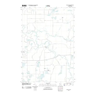 2010 Frog Lake2010 Print · USGSThe northern Wisconsin lakelands and river bends are captured here in the early 21st century. Genealogists and local historians can locate the Webb Lake Cemetery and trace landmarks like Fivemile Lookout Tower or the McDowell Bridge.
 - 2010 Map of Gordon, 2010 Print
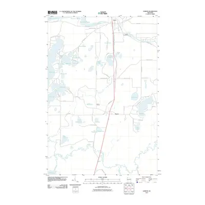 2010 Gordon2010 Print · USGSIn the Wisconsin Northwoods during the early 2000s, the river systems of the Saint Croix and Totagatic remained the heart of the landscape. Researchers can trace local heritage through the Wascott Cemetery and the development of the Gordon and Wascott communities near the Saint Croix Flowage.
 - 2010 Map of Horseshoe Lake, 2010 Print
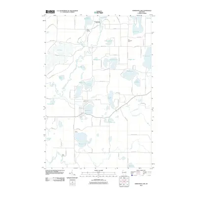 2010 Horseshoe Lake2010 Print · USGSWashburn County's lake-rich woodland is captured here in the early twenty-first century as a haven of rivers and glacial basins. Researchers can locate family landmarks like the Chicog Cemetery, the Ben Sutherland Airport, and the small riverfront site at Byekits Landing.
 - 2010 Map of Minong Flowage, 2010 Print
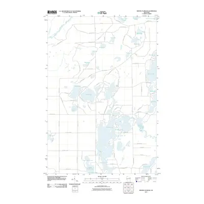 2010 Minong Flowage2010 Print · USGSDouglas County’s dense lake country is captured here in the early twenty-first century, showing the intricate hydrology of the north woods. Researchers can trace waterfront development and access points along Cranberry Lake, Bardon Lake, and the winding Totagatic River.
 - 2010 Map of Minong, 2010 Print
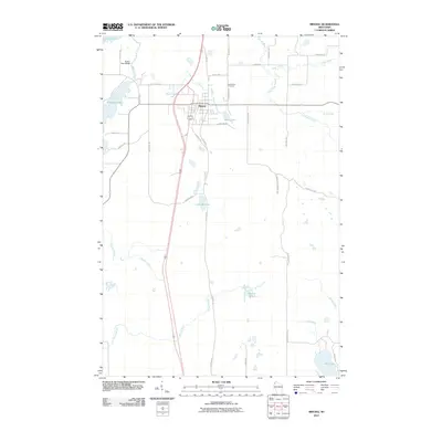 2010 Minong2010 Print · USGSThe village of Minong and its surrounding lake country are captured in this 2010 survey of northwest Wisconsin. Researchers can trace the layout of Minong, locate family plots at Greenwood Cemetery, or explore the drainages of Stuntz Brook and Shell Creek.
 - 2013 Map of Horseshoe Lake, 2013 Print
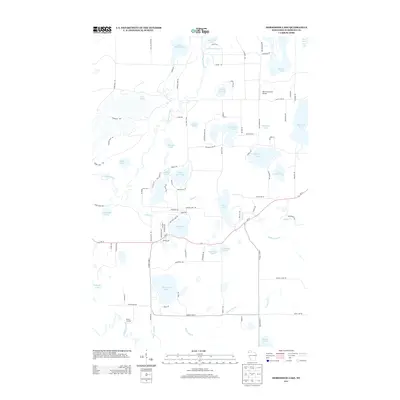 2013 Horseshoe Lake2013 Print · USGSThe Northwoods of Washburn County are mapped here in the early twenty-first century, showcasing a landscape defined by glacial lakes and river corridors. Local historians and property researchers can trace waterfront developments around Lake Nancy and identify landmarks like Byrkits Landing and the Ben Sutherland Airport.
 - 2013 Map of Minong, 2013 Print
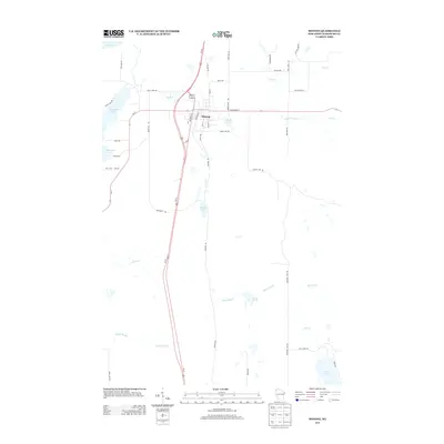 2013 Minong2013 Print · USGSThe village of Minong and its surrounding lake country are shown here in the early twenty-first century. Researchers can trace local development along Railroad St and Old 53 Rd, or scout the shorelines of Gull Lake and Bond Lake.
Showing maps 1-25 of 47
Top cities near Minong
- Trego historical maps
- Gordon historical maps
- Wascott historical maps
- Solon Springs historical maps
- Minong historical maps
- Springbrook historical maps
See more
Frequently asked questions
- What are the different types of historical maps available for Minong?
- What is the oldest map of Minong?
- Where can I purchase historical maps of Minong for my home or office?
- Where can I download high-res historical maps of Minong?
- Are there historical topographic maps available for Minong?
- Is there historical aerial imagery available for Minong?
- Where are historical maps of Minong sourced from?