2000s (21st Century) Maps of Wood, Wisconsin
Explore 20 historic maps of Wood from the 2000s (21st Century). These maps offer a rare glimpse into what life looked like during the 2000s — showing old roads, neighborhoods, homes, and landmarks that have changed or disappeared over time.
Whether you're researching your family's past, planning a metal detecting trip, or studying how Wood's landscape evolved across the 2000s, these high-resolution maps are a powerful tool for exploring the history of this region.
- Focus on a specific era: All maps on this page are from the 2000s, giving you a focused view of this time period.
- See what’s changed: Compare century-old streets, trails, and buildings to today's modern landscape using overlays and satellite layers.
- Research with precision: Use these maps for genealogy, historical research, land use analysis, or educational projects.
- View, download, or print: Maps are fully viewable online in high resolution, and can be downloaded or printed for your own records.
Start exploring Wood's history through authentic maps from the 2000s. This is your window into the past.
Wood, WI maps
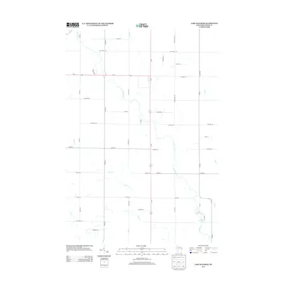
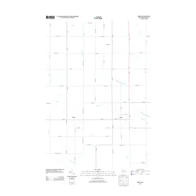
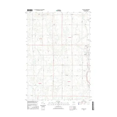
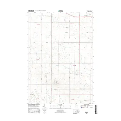
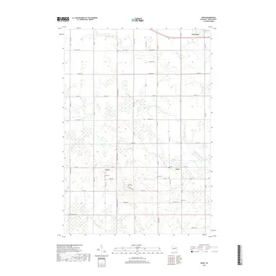
(20)- 2010 Map of Arpin, 2010 Print
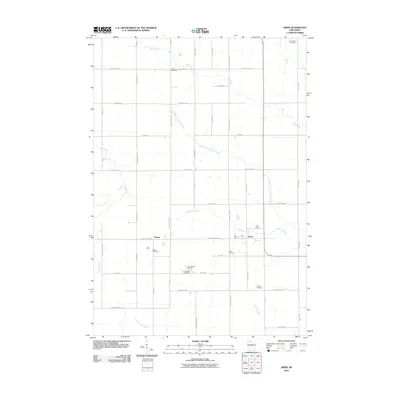 2010 Arpin2010 Print · USGSCovers Wood, including Arpin, Auburndale, and other nearby areas
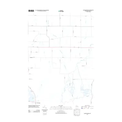
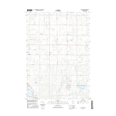
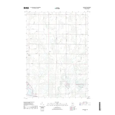
 - 2010 Map of Lake Manakiki, 2010 Print
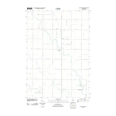 2010 Lake Manakiki2010 Print · USGSCovers Wood, including Marshfield, Richfield, and other nearby areas
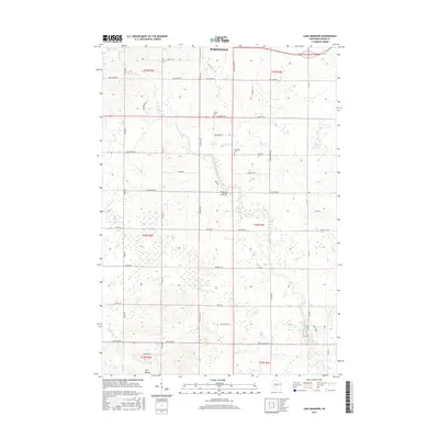
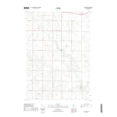
 - 2010 Map of Lake Dexter, 2010 Print
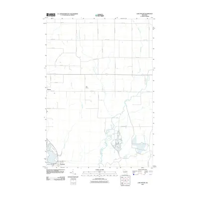 2010 Lake Dexter2010 Print · USGSCovers Wood, including Pittsville, Cranmoor, and other nearby areas
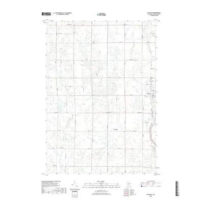
 - 2010 Map of Pittsville, 2010 Print
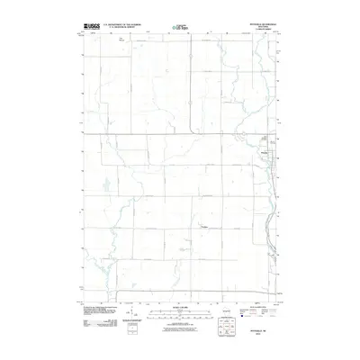 2010 Pittsville2010 Print · USGSCovers Wood, including Pittsville, Cary, and other nearby areas
 - 2013 Map of Lake Manakiki, 2013 Print
 2013 Lake Manakiki2013 Print · USGSCovers Wood, including Marshfield, Richfield, and other nearby areas
 - 2013 Map of Lake Dexter, 2013 Print
 2013 Lake Dexter2013 Print · USGSCovers Wood, including Pittsville, Cranmoor, and other nearby areas
 - 2013 Map of Pittsville, 2013 Print
 2013 Pittsville2013 Print · USGSCovers Wood, including Pittsville, Cary, and other nearby areas
 - 2013 Map of Arpin, 2013 Print
 2013 Arpin2013 Print · USGSCovers Wood, including Arpin, Auburndale, and other nearby areas
 - 2015 Map of Pittsville, 2015 Print
 2015 Pittsville2015 Print · USGSCovers Wood, including Pittsville, Cary, and other nearby areas
 - 2015 Map of Lake Dexter, 2015 Print
 2015 Lake Dexter2015 Print · USGSCovers Wood, including Pittsville, Cranmoor, and other nearby areas
 - 2015 Map of Lake Manakiki, 2015 Print
 2015 Lake Manakiki2015 Print · USGSCovers Wood, including Marshfield, Richfield, and other nearby areas
 - 2015 Map of Arpin, 2015 Print
 2015 Arpin2015 Print · USGSCovers Wood, including Arpin, Auburndale, and other nearby areas
 - 2018 Map of Arpin, 2018 Print
 2018 Arpin2018 Print · USGSCovers Wood, including Arpin, Auburndale, and other nearby areas
 - 2018 Map of Lake Dexter, 2018 Print
 2018 Lake Dexter2018 Print · USGSCovers Wood, including Pittsville, Cranmoor, and other nearby areas
 - 2018 Map of Lake Manakiki, 2018 Print
 2018 Lake Manakiki2018 Print · USGSCovers Wood, including Marshfield, Richfield, and other nearby areas
 - 2018 Map of Pittsville, 2018 Print
 2018 Pittsville2018 Print · USGSCovers Wood, including Pittsville, Cary, and other nearby areas
 - 2022 Map of Arpin, 2022 Print
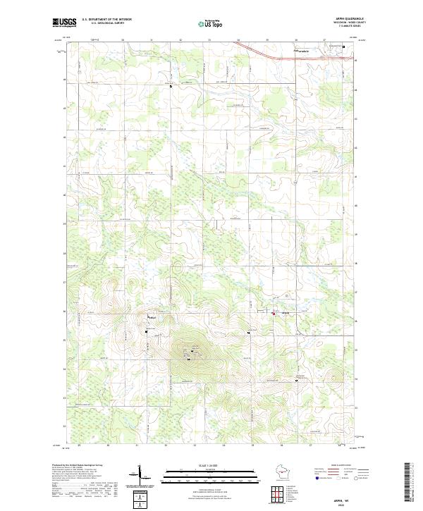 2022 Arpin2022 Print · USGSWood County’s agricultural and spiritual heart is on display in this contemporary survey of the Arpin and Bethel area. Genealogists can trace numerous historic burial sites, including Indian Bill Cem, Slidre Cem, and Bethel Cem.
 - 2022 Map of Lake Dexter, 2022 Print
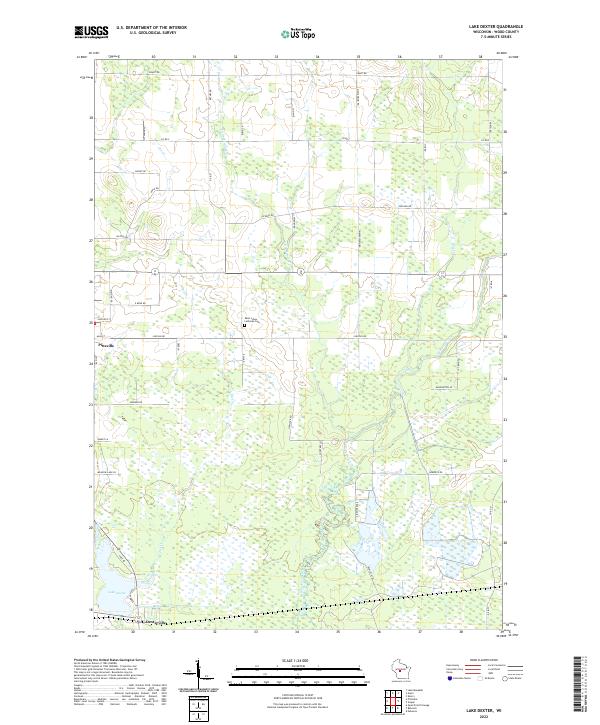 2022 Lake Dexter2022 Print · USGSCentral Wisconsin woodlands and wetlands surround the communities of Pittsville and Dexterville in the early 2020s. Genealogists and local historians can trace family locations near Saint Johns Lutheran Cem or follow the winding courses of Hemlock Creek and Owl Creek.
 - 2022 Map of Pittsville, 2022 Print
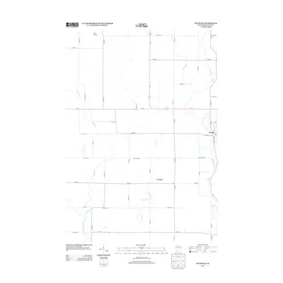
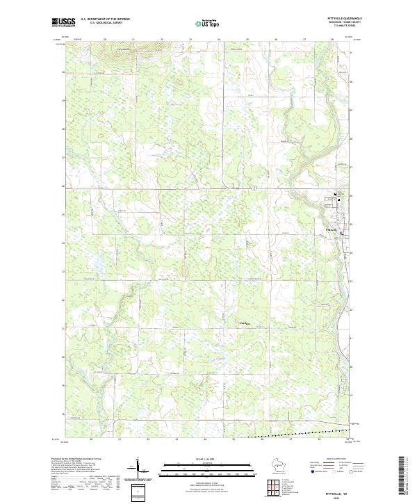 2022 Pittsville2022 Print · USGSWood County settlements and the winding Yellow River define this central Wisconsin landscape in the early twenty-first century. Genealogists can locate Saint Joachims Cem and Mound Cem, or trace the rural character of Veedum and the environs of Cary Mound.
 - 2022 Map of Lake Manakiki, 2022 Print
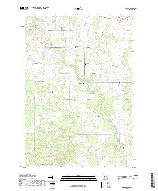 2022 Lake Manakiki2022 Print · USGSWood County’s central landscape is captured here in the early 2020s, showing a rural expanse defined by the Yellow River and glacial terrain. Genealogists and local historians can locate Trinity Lutheran Church Cem, Richfield Cem, and landmarks like Cary Mound.
End of results
Showing maps 1-20 of 20
Top cities near Wood
- Marshfield historical maps
- Nekoosa historical maps
- McMillan historical maps
- Pittsville historical maps
- Lynn historical maps
- Sherry historical maps
See more
Frequently asked questions
- What are the different types of historical maps available for Wood?
- What is the oldest map of Wood?
- Where can I purchase historical maps of Wood for my home or office?
- Where can I download high-res historical maps of Wood?
- Are there historical topographic maps available for Wood?
- Is there historical aerial imagery available for Wood?
- Where are historical maps of Wood sourced from?