Old Maps of Dubois, Wyoming for Hiking & Exploration
Hike through history with 17 historic maps of Dubois. Explore old trails, ghost towns, and forgotten backroads — perfect for outdoor adventurers and local explorers.
- Rediscover forgotten places: Map out old mining camps, roads, and footpaths that no longer exist on modern maps.
- Layer with modern tools: Combine with LiDAR or satellite views to plan hikes through historical terrain.
- Made for exploration: Popular among hikers, overlanders, and local history lovers.
Use these maps to find adventure and explore the hidden past of Dubois.
Dubois, WY maps
(17)- 1905 Map of Younts Peak, 1955 Print
 1905 Younts Peak1955 Print · USGSThe upper Wind River valley and the Absaroka wilderness are captured here during the early ranching era. Local historians can trace the foundations of Dubois and locate early family homesteads like Rocking Chair Ranch, Nipper's Ranch, and the Clarks Placer Mines.2 unique versions available
 - 1907 Map of Younts Peak
 1907 Younts Peak1907 Print · USGSNorthwestern Wyoming at the opening of the twentieth century was a landscape of remote mountain ranching and early forestry. Genealogists and historians can trace pioneer outposts like Rocking Chair Ranch and Dubois or locate Clarks Placer Mines.3 unique versions available
 - 1955 Map of Thermopolis, 1969 Print
 1955 Thermopolis1969 Print · USGSMid-century Wyoming comes alive in this survey of the Wind River basin and the high Absaroka peaks. Trace the roots of oil and water development through the Hamilton Dome Oil Field and the Boysen Reservoir, or locate local landmarks like the Wyoming Industrial Institute and St. Stephens.2 unique versions available
 - 1956 Map of Dubois, 1958 Print
 1956 Dubois1958 Print · USGSDubois and the upper Wind River valley are captured here in the mid-fifties during a period of high-country ranching and early aviation. Researchers can trace historic irrigation lines, early airstrips like the Dubois Airport, and legacy cattle operations at Shipley Ranch or Harrison Ranch.4 unique versions available
 - 1956 Map of Mason Draw, 1958 Print
 1956 Mason Draw1958 Print · USGSFremont County ranching and river management are captured here in the mid-fifties as the Missouri River Basin project shaped the land. Local historians can trace early holdings like Jones Ranch and Fish Ranch or locate the State Fish Hatchery along the Wind River.4 unique versions available
 - 1958 Map of Thermopolis
 1958 Thermopolis1958 Print · USGSThe Bighorn Basin and Wind River Reservation are shown here in the late fifties, during a period of significant petroleum and agricultural growth. Genealogists and historians can trace rail-towns like Gebo, energy hubs like the Hamilton Dome Oil Field, and the layout of Fort Washakie.2 unique versions available
 - 1962 Map of Thermopolis
 1962 Thermopolis1962 Print · USGSThe Wind River and Bighorn basins are meticulously mapped in the early sixties, showing the vital irrigation and rail networks of the era. Genealogists and historians can locate specific landmarks like the Duncan Ranch School, the Wyoming Industrial Institute, and the Hamilton Dome oil field.
 - 1978 Map of The Ramshorn, 1979 Print
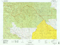 1978 The Ramshorn1979 Print · USGSHigh Wyoming mountain country during the late seventies centers on the junction at Dubois, where the Wind River carves through the landscape. Researchers can trace the high-country drainages of the Yellowstone River or locate remote landmarks like Kirwin and Brooks Lake.2 unique versions available
 - 1991 Map of Dubois, 1997 Print
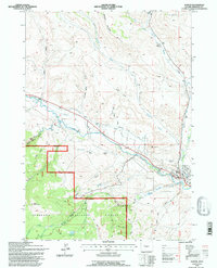 1991 Dubois1997 Print · USGSIn the early nineties, the ranching country around the Wind River showed a landscape of transitioning infrastructure. Researchers can trace the town of Dubois alongside unique landmarks like the Natural Bridge and Shipley Ranch.
 - 2012 Map of Dubois, 2012 Print
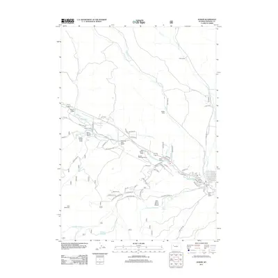 2012 Dubois2012 Print · USGSDubois and the surrounding Fremont County high country are captured here in the early twenty-first century. Genealogists and local historians can trace legacy ranch sites like Harrison Ranch and topographic landmarks such as Bald Mountain and Dubois Cem.
 - 2012 Map of Mason Draw, 2012 Print
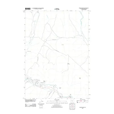 2012 Mason Draw2012 Print · USGSFremont County ranching and river geography are captured here during the early twenty-first century. Genealogists and historians can trace legacy holdings like Jones Ranch or Rocking Chair Ranch and explore the residential growth near the Wind River.
 - 2015 Map of Dubois, 2015 Print
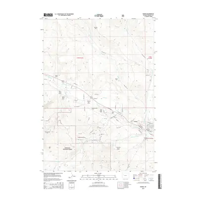 2015 Dubois2015 Print · USGSDubois sits at the heart of the Wind River valley in the early twenty-first century, surrounded by the high peaks of the SHOSHONE NATIONAL FOREST. Researchers can trace local irrigation systems like Norton Ditch and find landmarks such as the Dubois Cem and Battrum Mtn.
 - 2015 Map of Mason Draw, 2015 Print
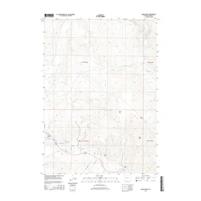 2015 Mason Draw2015 Print · USGSDubois and the upper Wind River valley are shown here in the mid-2010s as they bridge the gap between settlement and high mountain drainage. Genealogists and local historians can trace modern development near the Wind River and the path of the Leseburg Ditch or Trail Lake Rd.
 - 2017 Map of Mason Draw, 2017 Print
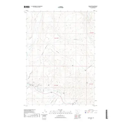 2017 Mason Draw2017 Print · USGSDubois and the surrounding Wind River valley are captured in this recent survey, showcasing the town's layout and its relationship with the high plateau. Researchers can trace local landmarks like Table Mtn, the path of the Wind River, and rural routes including EA Ranch Rd.
 - 2017 Map of Dubois, 2017 Print
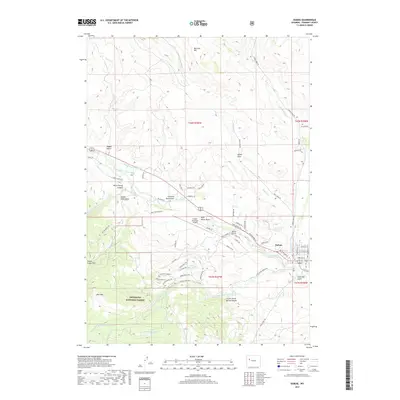 2017 Dubois2017 Print · USGSDubois and the surrounding high country are detailed here in the late twenty-tens, showing the intersection of mountain ranching and modern aviation. Researchers can trace irrigation networks like the Green Ditch, locate the Dubois Cem, or explore the trails of the Shoshone National Forest.
 - 2021 Map of Dubois, 2021 Print
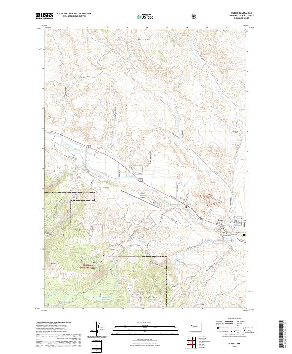 2021 Dubois2021 Print · USGSThe mountain town of Dubois sits at a strategic crossing of the Wind River in the early twenty-first century. Genealogists and local historians can trace family plots at the Dubois Cem or locate the Central Wyoming College Dubois Campus near the banks of the Wind River.
 - 2021 Map of Mason Draw, 2021 Print
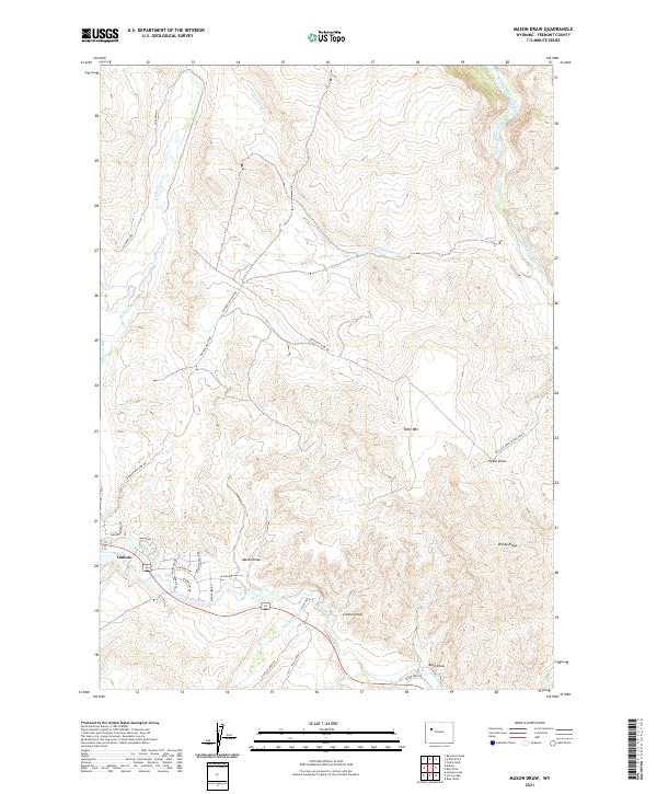 2021 Mason Draw2021 Print · USGSThe high valley around Dubois is documented here during the early twenty-first century, showcasing the vital river systems of the Upper Wind River. Local historians can trace the paths of the Wind River and Jakeys Fork, alongside landmarks like Table Mtn and Mason Draw.
End of results
Showing maps 1-17 of 17
Frequently asked questions
- What are the different types of historical maps available for Dubois?
- What is the oldest map of Dubois?
- Where can I purchase historical maps of Dubois for my home or office?
- Where can I download high-res historical maps of Dubois?
- Are there historical topographic maps available for Dubois?
- Is there historical aerial imagery available for Dubois?
- Where are historical maps of Dubois sourced from?