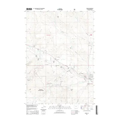
2015 Map of Dubois
USGS Topo · Published 2015About this map
The Wind River flows through the high-elevation basin of Dubois, a town defined by its proximity to the Shoshone National Forest and the surrounding peaks of the Wind River Range. This 2015 topography reveals a complex network of irrigation systems essential to the local valley, including the Norton Ditch, Green Ditch, and Holmes Number 1 Ditch. These waterways support the arid landscape between the rugged slopes of Battrum Mtn and Bald Mtn. Local infrastructure is anchored by the Dubois Municipal Airport and the Dubois Cem, while the rugged surroundings are carved by numerous canyons and gulches. Significant geomorphological features like Warm Spring Canyon and Little Warm Spring Canyon illustrate the dramatic relief of the territory, providing a clear view of the transition from the river valley to the protected forest lands of Geyser Creek Park.
Find a feature on this map
77 named features on this map. Tap any name to fly to it.
Don’t see what you’re looking for? This feature index may not catch every label — zoom into the map to look around manually.
Map Details
Editions of this 2015 Dubois Map
This is the sole edition of this map. No revisions or reprints were ever made.
Other maps of this area

1905 · Younts Peak
USGS Topo · 1:125,000

1907 · Younts Peak
USGS Topo · 1:125,000

1909 · Fremont Peak
USGS Topo · 1:125,000

1955 · Thermopolis
USGS Topo · 1:250,000

1956 · Indian Point
USGS Topo · 1:24,000

1956 · Dubois
USGS Topo · 1:24,000

1956 · Esmond Park
USGS Topo · 1:24,000

1956 · Ramshorn Peak
USGS Topo · 1:24,000

1956 · Warm Spring Mountain
USGS Topo · 1:24,000

1956 · Mason Draw
USGS Topo · 1:24,000