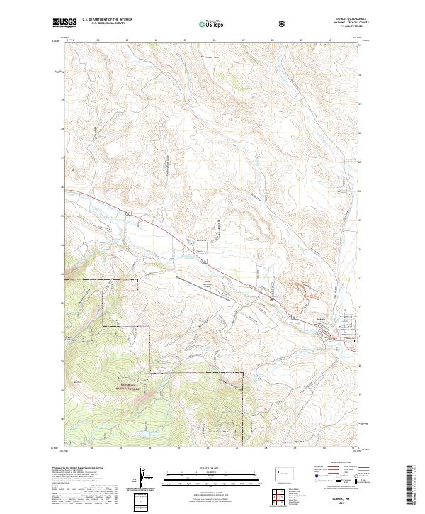
2021 Map of Dubois
USGS Topo · Published 2021About this map
Dubois serves as a critical mountain gateway where the Wind River flows through the high country of Fremont County. This 2021 survey documents the intersection of modern infrastructure and traditional irrigation systems, including the Holmes Number 1 Ditch and Green Ditch, which redirect water across the arid landscape. The map highlights the local educational and civic footprint through the Central Wyoming College Dubois Campus and the Dubois Municipal Airport, while the Dubois Cem provides a focal point for genealogical research.
Find a feature on this map
85 named features on this map. Tap any name to fly to it.
Don’t see what you’re looking for? This feature index may not catch every label — zoom into the map to look around manually.
Map Details
Editions of this 2021 Dubois Map
This is the sole edition of this map. No revisions or reprints were ever made.
Other maps of this area

1905 · Younts Peak
USGS Topo · 1:125,000

1907 · Younts Peak
USGS Topo · 1:125,000

1909 · Fremont Peak
USGS Topo · 1:125,000

1955 · Thermopolis
USGS Topo · 1:250,000

1956 · Indian Point
USGS Topo · 1:24,000

1956 · Dubois
USGS Topo · 1:24,000

1956 · Esmond Park
USGS Topo · 1:24,000

1956 · Ramshorn Peak
USGS Topo · 1:24,000

1956 · Warm Spring Mountain
USGS Topo · 1:24,000

1956 · Mason Draw
USGS Topo · 1:24,000