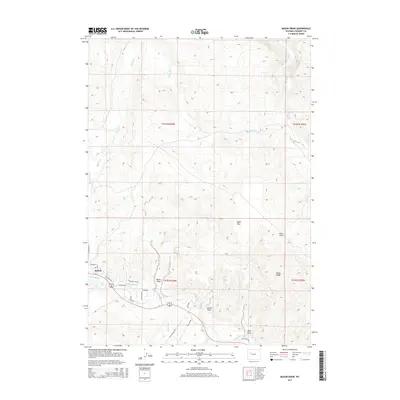
2015 Map of Mason Draw
USGS Topo · Published 2015About this map
Dubois sits at the western edge of this 2015 survey, serving as a hub for the high-altitude hydrology of Fremont County. The Wind River flows through the southern portion of the landscape, fed by a complex drainage system that includes Wiggins Fork, Horse Cr, and Jakeys Fork. Human modification of this water system is evident in the Leseburg Ditch, which follows the river's northern bank near the town center.
Find a feature on this map
32 named features on this map. Tap any name to fly to it.
Don’t see what you’re looking for? This feature index may not catch every label — zoom into the map to look around manually.
Map Details
Editions of this 2015 Mason Draw Map
This is the sole edition of this map. No revisions or reprints were ever made.
Other maps of this area

1904 · Kirwin
USGS Topo · 1:125,000

1905 · Younts Peak
USGS Topo · 1:125,000

1906 · Kirwin
USGS Topo · 1:125,000

1907 · Younts Peak
USGS Topo · 1:125,000

1909 · Fremont Peak
USGS Topo · 1:125,000

1952 · Blue Holes
USGS Topo · 1:24,000

1955 · Thermopolis
USGS Topo · 1:250,000

1956 · Indian Point
USGS Topo · 1:24,000

1956 · Dubois
USGS Topo · 1:24,000

1956 · Ramshorn Peak
USGS Topo · 1:24,000