2020s Maps of Hot Springs County, Wyoming
Explore 63 historic maps of Hot Springs County from the 2020s. These maps offer a rare glimpse into what life looked like during the 2020s — showing old roads, neighborhoods, homes, and landmarks that have changed or disappeared over time.
Whether you're researching your family's past, planning a metal detecting trip, or studying how Hot Springs County's landscape evolved across the 2020s, these high-resolution maps are a powerful tool for exploring the history of this region.
- Focus on a specific era: All maps on this page are from the 2020s, giving you a focused view of this time period.
- See what’s changed: Compare century-old streets, trails, and buildings to today's modern landscape using overlays and satellite layers.
- Research with precision: Use these maps for genealogy, historical research, land use analysis, or educational projects.
- View, download, or print: Maps are fully viewable online in high resolution, and can be downloaded or printed for your own records.
Start exploring Hot Springs County's history through authentic maps from the 2020s. This is your window into the past.
Hot Springs County, WY maps
(63)- 2021 Map of Blue Mesa West, 2021 Print
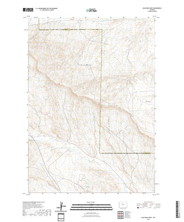 2021 Blue Mesa West2021 Print · USGSHot Springs County terrain is revealed in detail during the early 2020s, showcasing a landscape of high ridges and essential water infrastructure. Researchers can trace the path of Perkins Ditch and Grass Cr or locate family interests near Blue Ridge and Blue Mesa.
 - 2021 Map of Sheep Ridge, 2021 Print
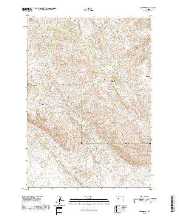 2021 Sheep Ridge2021 Print · USGSThe border of Hot Springs and Fremont counties is captured here in the early 2020s, showing the high-elevation terrain of the Owl Creek Mountains. Researchers can trace remote drainage networks like Shotgun Cr and the prominent geological rise of Sheep Ridge.
 - 2021 Map of Thompson Reservoirs, 2021 Print
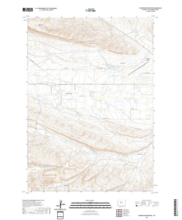 2021 Thompson Reservoirs2021 Print · USGSHigh-altitude ranching country in Hot Springs County is mapped here in the modern era. Researchers can trace land usage across Padlock Rim, locate isolated water sources like Thompson Reservoir Number One, and follow rural routes such as Missouri Flat Rd.
 - 2021 Map of Red Ridge, 2021 Print
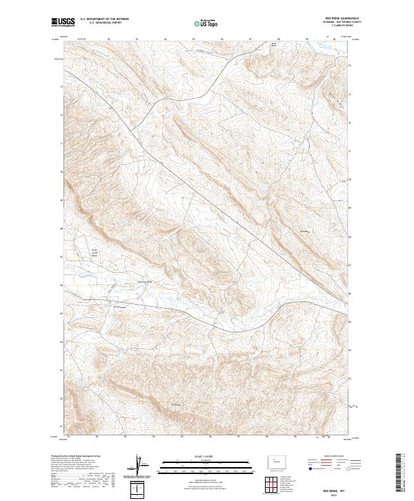 2021 Red Ridge2021 Print · USGSHot Springs County in the early twenty-first century remains a landscape of high ridges and deep draws. Researchers can trace the rugged geography of the Grass Creek Basin and locate landmarks like Red Ridge and Coalmine Draw.
 - 2021 Map of Cottonwood Pass, 2021 Print
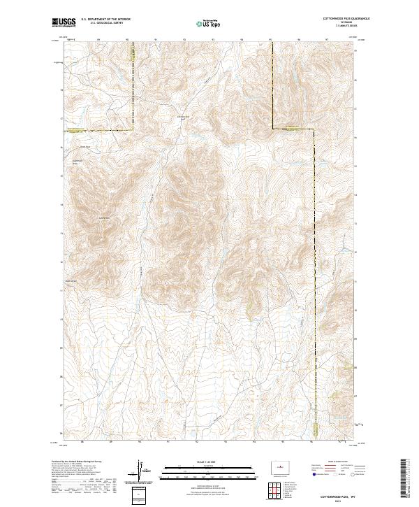 2021 Cottonwood Pass2021 Print · USGSUpper Fremont County is shown here in the early twenty-first century, centered on the high divide of Cottonwood Pass. Historians and hikers can trace remote upland routes like the Bighorn Trl and Oakie Trl past landmarks such as Lysite Mtn and Shelly Seeps.
 - 2021 Map of Packsaddle Creek, 2021 Print
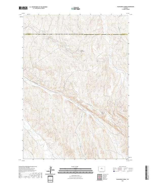 2021 Packsaddle Creek2021 Print · USGSThe borderlands of Washakie and Hot Springs counties are mapped here in the early twenty-first century, showing a remote landscape of high-plains watersheds. Trace the winding paths of Black Mountain Rd and Kirby Creek Rd as they navigate the ridges near Black Mtn and the Lake Creek Divide.
 - 2021 Map of Blue Hill, 2021 Print
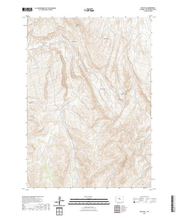 2021 Blue Hill2021 Print · USGSHot Springs County terrain is mapped here in the modern era, showing a remote landscape of deep basins and winding creeks. Trace family-named landmarks like Jack Welch Basin and water sources like Side Hill Spring or Blue Springs Draw.
 - 2021 Map of Arapahoe Butte, 2021 Print
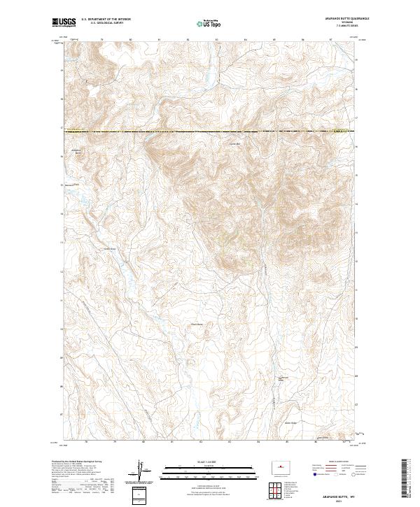 2021 Arapahoe Butte2021 Print · USGSHigh-desert terrain across the Hot Springs and Fremont county lines is meticulously documented in this recent survey. Local historians can trace early ranching routes along Bridger Creek Rd or locate remote water sources like Willow Spring and Puzzle Spring.
 - 2021 Map of Sand Point, 2021 Print
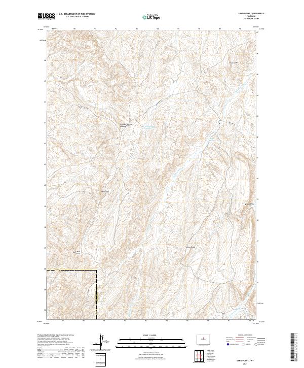 2021 Sand Point2021 Print · USGSWashakie County ranchlands are documented here in the early twenty-first century as the high-desert landscape meets the Hot Springs County line. Researchers can trace remote water sources and landmarks like Buffalo Springs, Sand Point, and Shanty Ridge.
 - 2021 Map of Guffy Peak, 2021 Print
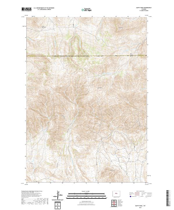 2021 Guffy Peak2021 Print · USGSThe high-desert terrain of Fremont and Hot Springs counties comes into focus in this recent survey of the southern Big Horn Basin. Researchers can trace the paths of Quien Sabe Rd and Badwater Rd through the slopes of Copper Mtn and Guffy Peak.
 - 2021 Map of De Pass, 2021 Print
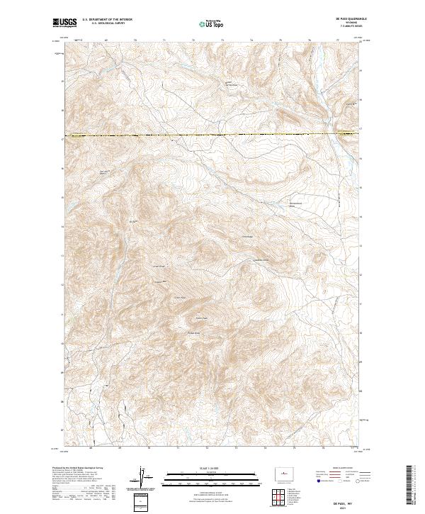 2021 De Pass2021 Print · USGSCentral Wyoming's high-elevation borderlands are captured here in the early twenty-first century. Researchers can trace the drainage patterns of Schoening Cr and locate high-country landmarks like Copper Mtn and Joe Johns Basin.
 - 2021 Map of Bader Draw, 2021 Print
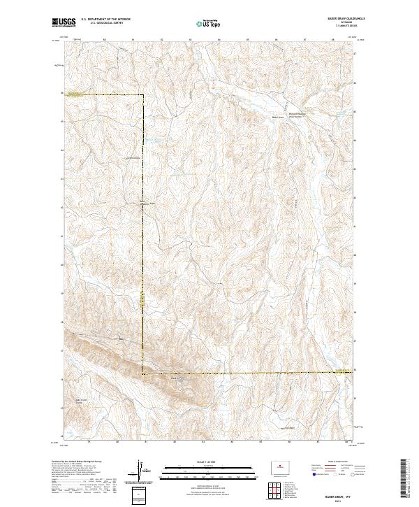 2021 Bader Draw2021 Print · USGSWashakie and Hot Springs counties are mapped here in the early 2020s, showing a landscape defined by high-desert ranching and remote basins. Researchers can trace land use through features like Black Mountain Reservoir, Minnick Basin, and the winding path of Nowater Cr.
 - 2021 Map of Battle Mountain, 2021 Print
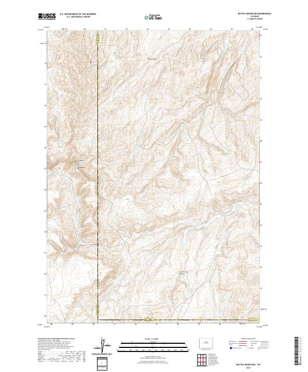 2021 Battle Mountain2021 Print · USGSWashakie County ranchlands and high-desert drainages are captured in this recent survey of the Big Horn Basin's southern fringe. Researchers can trace the rugged topography of Battle Mtn, the course of the Nowood River, and remote water sources like Dead Indian Spring.
 - 2021 Map of Rathbun Ranch, 2021 Print
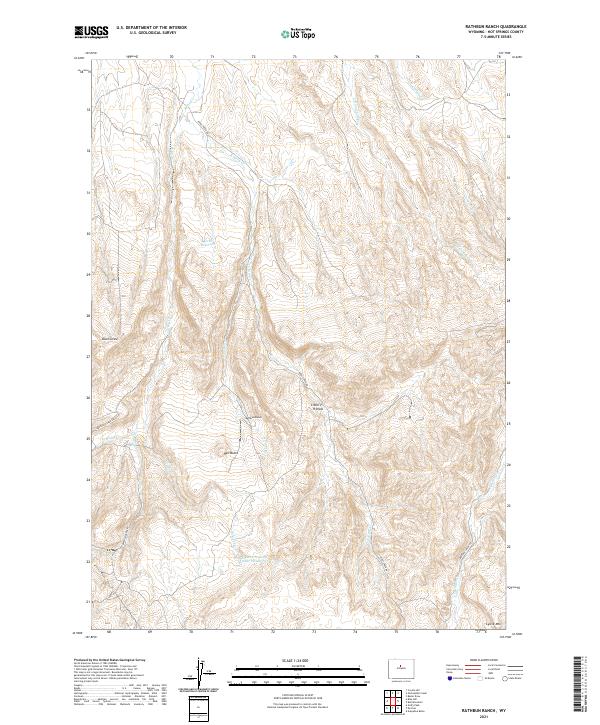 2021 Rathbun Ranch2021 Print · USGSThis high-desert ranching landscape in Hot Springs County shows the essential water networks and family-named landmarks of the early twenty-first century. Researchers can trace the layout of Rathbun Ranch alongside the Kirby Reservoir and the winding course of Kirby Creek Rd.
 - 2021 Map of Zimmerman Buttes, 2021 Print
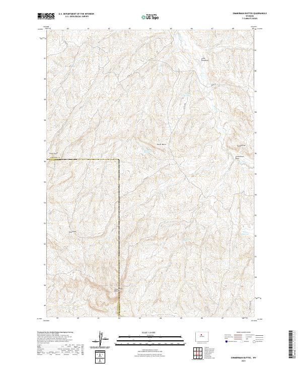 2021 Zimmerman Buttes2021 Print · USGSWashakie County land use and arid-lands water management are on display in this contemporary topographic survey of the Wyoming desert. Researchers can locate remote water sources like Zimmerman Springs and trace the winding paths of Nowater Cr and Sand Draw through the high buttes.
 - 2021 Map of Bull Mountain, 2021 Print
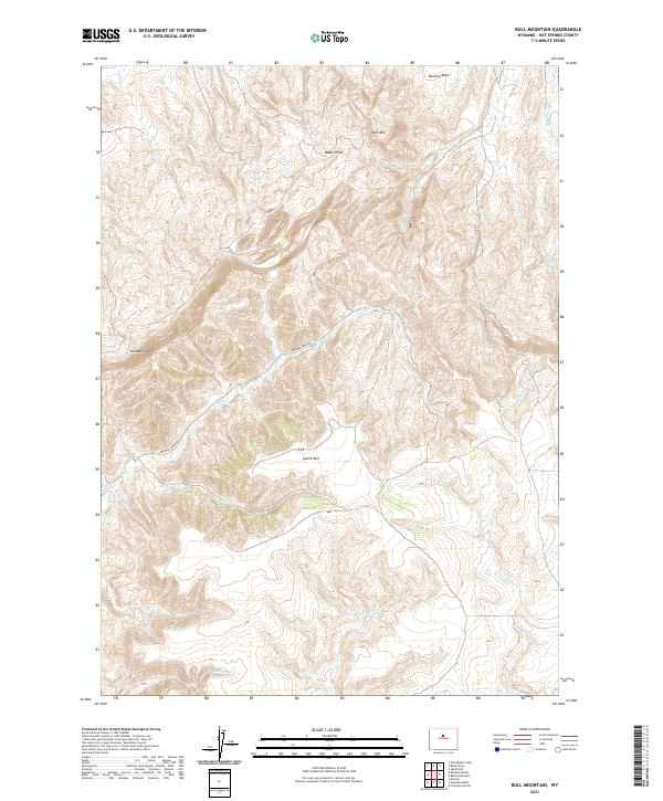 2021 Bull Mountain2021 Print · USGSHigh-country ranching and remote ridgelines define this part of Hot Springs County in the early twenty-first century. Researchers can trace land boundaries across Lysite Mtn and locate the headwaters of Bridger Cr and Nowater Cr along BRIDGER CREEK RD.
 - 2021 Map of Hamilton Dome, 2021 Print
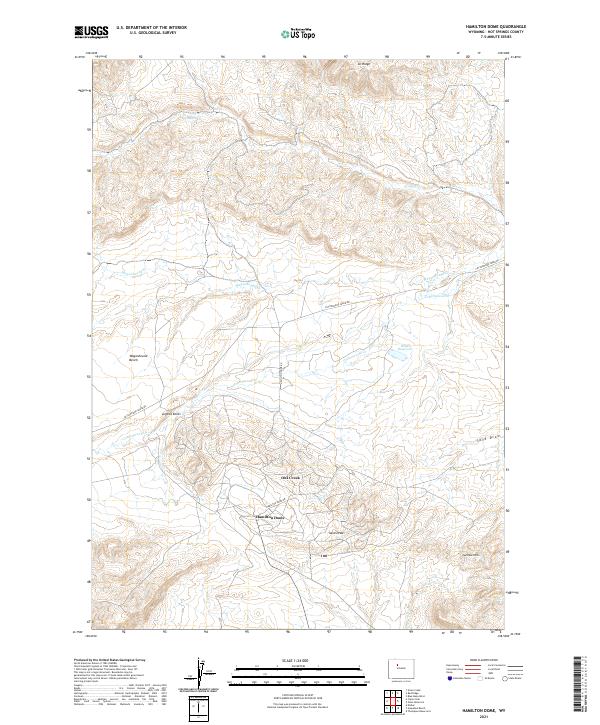 2021 Hamilton Dome2021 Print · USGSHot Springs County at the start of the 2020s reveals a high-desert landscape of ranch roads and remote landmarks. Trace the local terrain from the Hamilton Dome settlement to Legend Rocks and the waters of Wales Reservoir.
 - 2021 Map of Morrison Canyon, 2021 Print
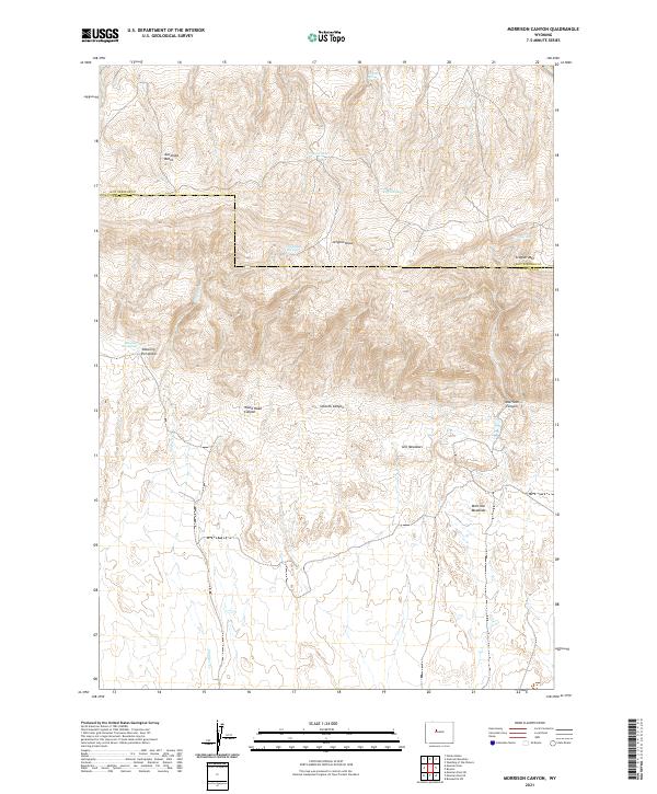 2021 Morrison Canyon2021 Print · USGSThe high plateaus of the Wyoming wilderness are captured in this recent survey of the Fremont and Hot Springs county line. Researchers can trace remote water sources and cattle-country landmarks like Shearing Pen Spring, Morrison Meadows, and the heights of Stagner Mtn.
 - 2021 Map of Antelope Ridge, 2021 Print
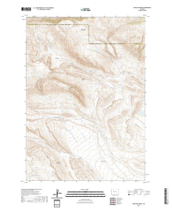 2021 Antelope Ridge2021 Print · USGSFremont and Hot Springs counties are captured in the early 2020s, showing a high-desert landscape shaped by geologic domes and mountain ridges. Researchers can locate remote water sources like Trickle Spring and trace the paths of Dry Muddy Cr and CIRCLE RIDGE RD.
 - 2021 Map of Wedding of the Waters, 2021 Print
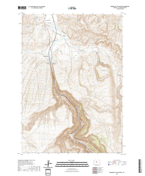 2021 Wedding of the Waters2021 Print · USGSThe Wind River Canyon region is shown in the modern era as it reaches the famous Wedding of the Waters. Trace the route of the Wind River as it becomes the Bighorn River past Minnesela and Windy Point.
 - 2021 Map of Potato Butte, 2021 Print
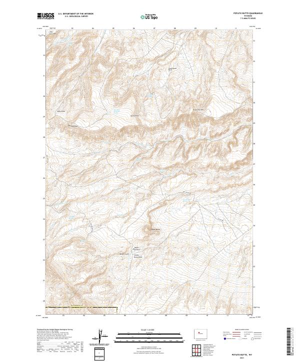 2021 Potato Butte2021 Print · USGSHot Springs and Fremont Counties appear here in the early twenty-first century as a land of high buttes and desert springs. Genealogists and historians can trace the geography of old land claims and water rights through landmarks like Miners Gulch, Potato Butte, and Sweetwater Spring.
 - 2021 Map of Embar, 2021 Print
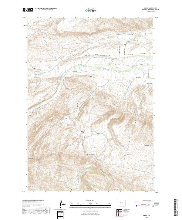 2021 Embar2021 Print · USGSHot Springs County ranching country is documented here in the early twenty-first century, showing the remote drainages of the Owl Creek Mountains. Trace the winding paths of Owl Creek Rd and the intersections of N Fork Owl Cr and Riley Flat.
 - 2021 Map of Kates Basin, 2021 Print
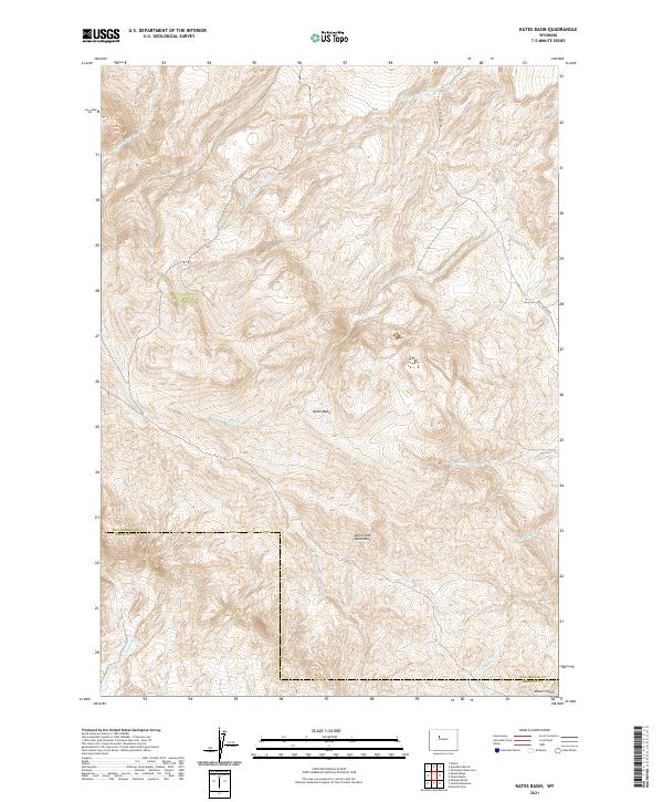 2021 Kates Basin2021 Print · USGSHigh in the mountain backcountry of central Wyoming, this recent survey captures the remote intersection of two counties. Researchers can trace the steep drainage networks of Kates Basin and the winding path of Red Canyon Rd through the Owl Creek Mountains.
 - 2021 Map of Soapy Dale Peak, 2021 Print
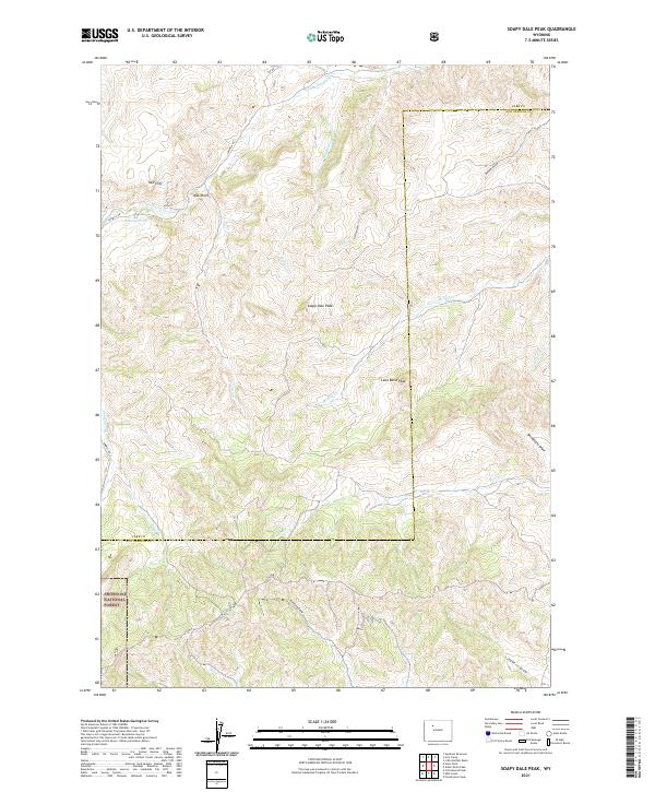 2021 Soapy Dale Peak2021 Print · USGSHigh desert ridges and mountain foothills define this area on the border of Park and Hot Springs counties. Researchers can trace historic access routes like Sawmill Rd and find named landmarks such as Soapy Dale Peak and Red Cliff.
 - 2021 Map of Blue Mesa East, 2021 Print
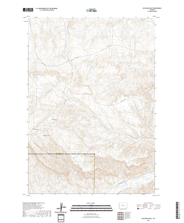 2021 Blue Mesa East2021 Print · USGSWashakie and Hot Springs counties meet among the high mesas and gulches of the Wyoming range in the early twenty-first century. Researchers can trace the path of Blue Mesa Rd past landmarks like Keg Spring, Blue Ridge, and Little Gooseberry Cr.
Showing maps 1-25 of 63
Top cities of Hot Springs County
Frequently asked questions
- What are the different types of historical maps available for Hot Springs County?
- What is the oldest map of Hot Springs County?
- Where can I purchase historical maps of Hot Springs County for my home or office?
- Where can I download high-res historical maps of Hot Springs County?
- Are there historical topographic maps available for Hot Springs County?
- Is there historical aerial imagery available for Hot Springs County?
- Where are historical maps of Hot Springs County sourced from?