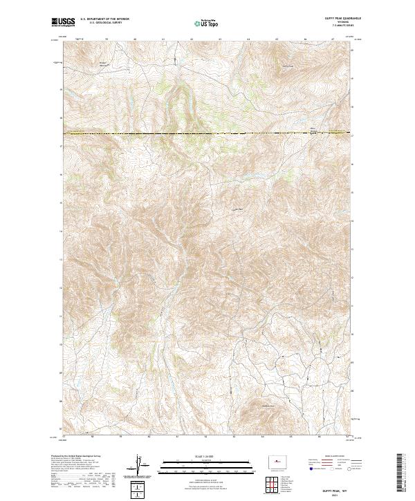
2021 Map of Guffy Peak
USGS Topo · Published 2021About this map
The Bridger Mountains and Copper Mtn dominate this high-altitude landscape along the border of Hot Springs and Fremont counties. This is a region defined by complex drainage systems and significant vertical relief, where watercourses like Hoodoo Cr and W Bridger Cr carve through the foothills of the southern Big Horn Basin area. The presence of Quien Sabe Rd and Badwater Rd indicates the sparse but essential transportation network used by ranchers and land managers in these remote uplands. Landmark peaks like Guffy Peak and Steffen Hill serve as primary navigational anchors in a terrain of deep basins and winding creeks. The map also delineates the West Bridger Basin, providing a clear view of the natural topography that has influenced land use and movement in this part of Wyoming for generations.
Find a feature on this map
27 named features on this map. Tap any name to fly to it.
Don’t see what you’re looking for? This feature index may not catch every label — zoom into the map to look around manually.
Map Details
Editions of this 2021 Guffy Peak Map
This is the sole edition of this map. No revisions or reprints were ever made.
Other maps of this area

1951 · Birdseye Pass
USGS Topo · 1:24,000

1951 · Bonneville
USGS Topo · 1:24,000

1952 · Gates Butte
USGS Topo · 1:24,000

1952 · Rathbun Ranch
USGS Topo · 1:24,000

1952 · Picard Ranch
USGS Topo · 1:24,000

1952 · De Pass
USGS Topo · 1:24,000

1952 · Guffy Peak
USGS Topo · 1:24,000

1955 · Thermopolis
USGS Topo · 1:250,000

1955 · Arminto
USGS Topo · 1:250,000

1957 · Rathbun Ranch
USGS Topo · 1:24,000