1900s (20th Century) Maps of Hot Springs County, Wyoming
Explore 91 historic maps of Hot Springs County from the 1900s (20th Century). These maps offer a rare glimpse into what life looked like during the 1900s — showing old roads, neighborhoods, homes, and landmarks that have changed or disappeared over time.
Whether you're researching your family's past, planning a metal detecting trip, or studying how Hot Springs County's landscape evolved across the 1900s, these high-resolution maps are a powerful tool for exploring the history of this region.
- Focus on a specific era: All maps on this page are from the 1900s, giving you a focused view of this time period.
- See what’s changed: Compare century-old streets, trails, and buildings to today's modern landscape using overlays and satellite layers.
- Research with precision: Use these maps for genealogy, historical research, land use analysis, or educational projects.
- View, download, or print: Maps are fully viewable online in high resolution, and can be downloaded or printed for your own records.
Start exploring Hot Springs County's history through authentic maps from the 1900s. This is your window into the past.
Hot Springs County, WY maps
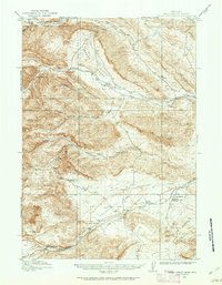
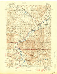
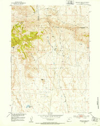
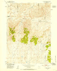
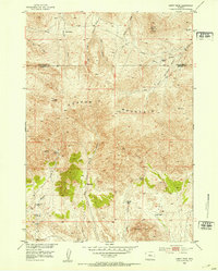
(91)- 1904 Map of Kirwin, 1957 Print
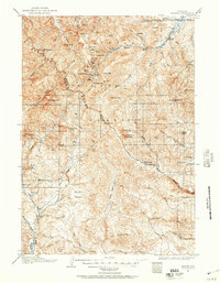 1904 Kirwin1957 Print · USGSCovers Hot Springs County, including Collins Place, Kirwin, and other nearby areas
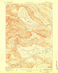
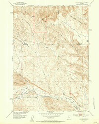
 - 1906 Map of Kirwin
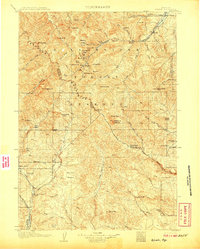 1906 Kirwin1906 Print · USGSCovers Hot Springs County, including Collins Place, Kirwin, and other nearby areas2 unique versions available
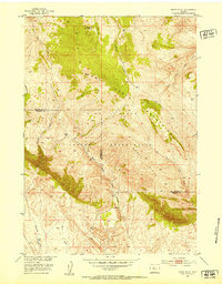
 - 1911 Map of Meeteetse, 1957 Print
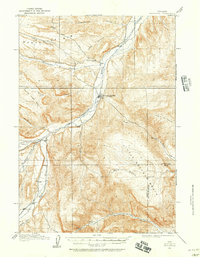 1911 Meeteetse1957 Print · USGSCovers Hot Springs County, including Meeteetse, Sunshine, and other nearby areas
 - 1913 Map of Meeteetse
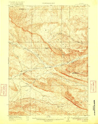
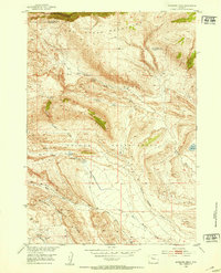
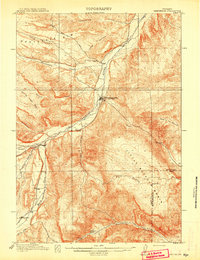 1913 Meeteetse1913 Print · USGSCovers Hot Springs County, including Meeteetse, Sunshine, and other nearby areas3 unique versions available
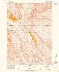
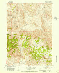
 - 1913 Map of Grass Creek Basin, 1962 Print
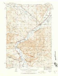
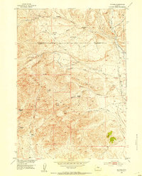
 1913 Grass Creek Basin1962 Print · USGSCovers Hot Springs County, including Hamilton Dome, Owl Creek, and other nearby areas2 unique versions available
 - 1914 Map of Blue Mesa, 1975 Print
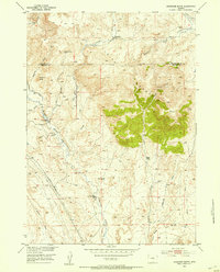
 1914 Blue Mesa1975 Print · USGSCovers Hot Springs County, including Washakie County, United States, and other nearby areas
 - 1915 Map of Grass Creek Basin
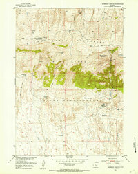
 1915 Grass Creek Basin1915 Print · USGSCovers Hot Springs County, including Hamilton Dome, Owl Creek, and other nearby areas3 unique versions available
 - 1916 Map of Blue Mesa
 1916 Blue Mesa1916 Print · USGSCovers Hot Springs County, including Washakie County, United States, and other nearby areas2 unique versions available
 - 1945 Map of Kirby, 1958 Print
 1945 Kirby1958 Print · USGSCovers Hot Springs County, including Kirby, Colter, and other nearby areas2 unique versions available
 - 1946 Map of Kirby
 1946 Kirby1946 Print · USGSCovers Hot Springs County, including Kirby, Colter, and other nearby areas
 - 1951 Map of Hillberry Rim, 1953 Print
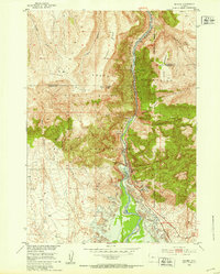
 1951 Hillberry Rim1953 Print · USGSCovers Hot Springs County, including Park County, United States, and other nearby areas2 unique versions available
 - 1951 Map of Boysen, 1953 Print
 1951 Boysen1953 Print · USGSCovers Hot Springs County, including Boysen, Fremont County, and other nearby areas3 unique versions available
 - 1951 Map of Dutch Nick Flat SW, 1953 Print
 1951 Dutch Nick Flat SW1953 Print · USGSCovers Hot Springs County, including Washakie County, United States, and other nearby areas2 unique versions available
 - 1951 Map of Mexican Pass, 1953 Print
 1951 Mexican Pass1953 Print · USGSCovers Hot Springs County, including Fremont County, United States, and other nearby areas
 - 1951 Map of Gillies Draw, 1953 Print
 1951 Gillies Draw1953 Print · USGSCovers Hot Springs County, including Park County, Washakie County, and other nearby areas2 unique versions available
 - 1951 Map of Birdseye Pass, 1953 Print
 1951 Birdseye Pass1953 Print · USGSCovers Hot Springs County, including Fremont County, United States, and other nearby areas3 unique versions available
 - 1951 Map of Morrison Canyon, 1953 Print
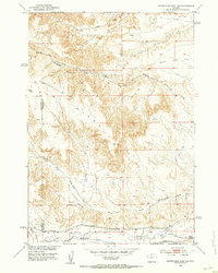
 1951 Morrison Canyon1953 Print · USGSCovers Hot Springs County, including Fremont County, United States, and other nearby areas3 unique versions available
 - 1952 Map of Cottonwood Pass, 1953 Print
 1952 Cottonwood Pass1953 Print · USGSCovers Hot Springs County, including Snyder Place, Natrona County, and other nearby areas3 unique versions available
 - 1952 Map of Rathbun Ranch, 1953 Print
 1952 Rathbun Ranch1953 Print · USGSCovers Hot Springs County, including United States, Wyoming, and other nearby areas
 - 1952 Map of Kates Basin, 1953 Print
 1952 Kates Basin1953 Print · USGSCovers Hot Springs County, including Fremont County, United States, and other nearby areas
 - 1952 Map of Antelope Ridge, 1953 Print
 1952 Antelope Ridge1953 Print · USGSCovers Hot Springs County, including Fremont County, United States, and other nearby areas3 unique versions available
 - 1952 Map of Arapahoe Butte, 1953 Print
 1952 Arapahoe Butte1953 Print · USGSCovers Hot Springs County, including Fremont County, United States, and other nearby areas
 - 1952 Map of De Pass, 1953 Print
 1952 De Pass1953 Print · USGSCovers Hot Springs County, including Fremont County, United States, and other nearby areas2 unique versions available
 - 1952 Map of Guffy Peak, 1953 Print
 1952 Guffy Peak1953 Print · USGSCovers Hot Springs County, including Fremont County, United States, and other nearby areas4 unique versions available
 - 1952 Map of Sheep Ridge, 1953 Print
 1952 Sheep Ridge1953 Print · USGSCovers Hot Springs County, including Fremont County, United States, and other nearby areas2 unique versions available
Showing maps 1-25 of 91
Top cities of Hot Springs County
Frequently asked questions
- What are the different types of historical maps available for Hot Springs County?
- What is the oldest map of Hot Springs County?
- Where can I purchase historical maps of Hot Springs County for my home or office?
- Where can I download high-res historical maps of Hot Springs County?
- Are there historical topographic maps available for Hot Springs County?
- Is there historical aerial imagery available for Hot Springs County?
- Where are historical maps of Hot Springs County sourced from?