
1952 Map of Kates Basin
USGS Topo · Published 1953About this map
Wind River Indian Reservation land dominates this 1952 topographic study, where high-altitude drainages and complex ridgelines define the border between Hot Springs and Fremont counties. The landscape is characterized by the massive uplift of the Owl Creek Mountains, which rise sharply above Kates Basin. Significant hydrological data is captured through the intricate branches of Mud Creek, including the Middle Fork and South Fork tributaries. Evidence of early high-country settlement is visible at the Duncan Homestead near the northern boundary. The mapping reveals a remote environment where water sources like Cottonwood Creek and various unnamed springs were critical for sustaining life and livestock in the arid Wyoming terrain.
Find a feature on this map
12 named features on this map. Tap any name to fly to it.
Don’t see what you’re looking for? This feature index may not catch every label — zoom into the map to look around manually.
Map Details
Editions of this 1952 Kates Basin Map
This is the sole edition of this map. No revisions or reprints were ever made.
Other maps of this area

1950 · Shotgun Butte
USGS Topo · 1:24,000

1951 · Mexican Pass
USGS Topo · 1:24,000

1951 · Jenkins Mountain
USGS Topo · 1:24,000

1952 · Sheep Ridge
USGS Topo · 1:24,000

1955 · Thermopolis
USGS Topo · 1:250,000
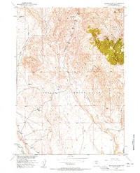
1957 · Jenkins Mountain
USGS Topo · 1:24,000

1958 · Thermopolis
USGS Topo · 1:250,000

1962 · Thermopolis
USGS Topo · 1:250,000

1965 · Arapahoe Ranch
USGS Topo · 1:24,000
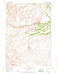
1965 · Potato Butte
USGS Topo · 1:24,000